Updates

For the latest updates related to the weather in the Maltese Islands. So keep yourself updated by visiting this page frequently or like our Facebook page.

Updates

3 Hourly Forecast for New Year’s Day (01/01/2021)

00:00 to 03:00 – partly cloudy; 12°C to 11°C; West to Southwest Force 2/3
03:00 to 06:00 – partly cloudy; 11°C to 10°C; Southwest to South Force 2/3
06:00 to 09:00 – partly cloudy; 10°C to 13°C; South Force 2/3 to 3/4
09:00 to 12:00 – partly cloudy; 13°C to 15°C / 16°C; South to South Southeast Force 3/4
12:00 to 15:00 – partly cloudy; 15°C / 16°C; South Southeast Force 3/4
15:00 to 18:00 – cloudy; 15°C / 16°C to 14°C / 15°C; South Southeast Force 3/4 to 4/5
18:00 to 21:00 – cloudy with isolated showers; 14°C / 15°C; South Southeast Force 4/5 to 5/6
21:00 to 00:00 – cloudy with isolated showers; 14°C / 15°C; South Southeast Force 5/6

Updates

This week: A mild start to 2021

A wintry end to the week of Christmas will be followed by a week of predominantly stable weather. The latest weather maps continue to confirm that relatively mild weather will ring in 2021. A ridge of high pressure will develop to our east at the start of the week. This will ensure fine weather, with plenty of bright sunshine, till New Year’s Eve. The Westerly wind will decrease gradually over the course of the first half of this week, with New Year’s Eve promising to be a generally calm day. The weather will be somewhat less stable from New Year’s Day onward, as an area of low pressure looks set to develop over the western Mediterranean. We expect increased cloud cover, and perhaps some isolated showers, particularly on New Year’s Day. The wind will also increase once again from New Year’s Day. A ‘cold’ start to the week will give way to milder temperatures. With the exception of Monday 28/12, we’re looking at highs in the region of 17°C / 18°C and 10°C to 12°C lows. These values are 2°C to 3°C warmer than the average for this time of year.

Updates

3 Hourly Forecast for Christmas Day (25/12/2020)

00:00 to 03:00 – mainly clear or partly cloudy; 14°C / 15°C; West Southwest Force 5 to 6
03:00 to 06:00 – mainly clear or partly cloudy; 14°C / 15°C; West Southwest Force 5 to 6
06:00 to 09:00 – mainly clear or partly cloudy; 14°C / 15°C to 17°C; West Southwest Force 4 to 5
09:00 to 12:00 – mainly clear or partly cloudy; 17°C to 18°C / 19°C; West Southwest Force 3 to 4
12:00 to 15:00 – mainly clear or partly cloudy; 18°C / 19°C; West Southwest Force 3 to 4
15:00 to 18:00 – mainly clear or partly cloudy; 18°C / 19°C to 16°C; West Southwest Force 3 to 4
18:00 to 21:00 – mainly clear or partly cloudy; 16°C to 14°C / 15°C; West Southwest Force 3 to 4
21:00 to 00:00 – mainly clear or partly cloudy; 14°C / 15°C; West Southwest to Southwest Force 3 to 4

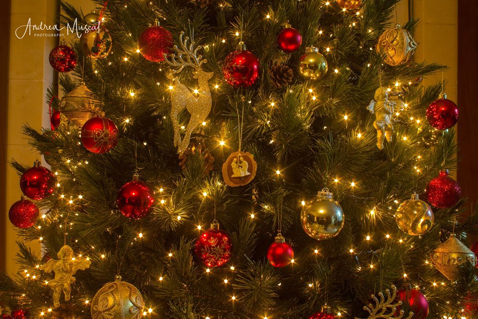
On Christmas Eve, in most villages and towns, one will come across The Children’s procession, whereby children singing Christmas Carols and carrying Christmas lanterns carry the statue of baby Jesus around the village. This tradition is believed to have been started in 1921 by the St.George Preca. Midnight Mass then follows the Children’s Procession. The Mass usually commences with Christmas Carol singing, the most popular Maltese Christmas Carol being, Ninni la Tibqiex Izjed. The highlight of the Mass is the oldest of the Maltese Christmas traditions, the Child’s sermon, A child aged is chosen to recite the Nativity story. In the Maltese Islands, Christmas Day is a time to celebrate with family. The extended family gets together for a long lunch that extends into the evening. Obviously, all this would be in a normal year. This year, it’s an occasion to spend time with our immediate families. Don’t forget, however, to give a call to a lonely family member, friend or neighbour.

Updates

This week: Fine weather for Christmas Eve and Christmas Day

Both Christmas Eve and Christmas Day are likely to be characterized by fine weather. This will be the result of a weak ridge of high pressure across the central Mediterranean. A zone of instability that characterized our region of the Mediterranean over the weekend will linger into the first half of the week. This means a chance of isolated showers till later in the day on Tuesday 22/12. The weak ridge of high pressure that will extend across our region from Wednesday 23/12 onward should ward off any rain, and encourage partly cloudy skies (with periods of sunshine) to prevail. Temperatures over the course of this week should be above the average for this time of year. We’re looking at 18°C to 20°C highs and 12°C to 14°C lows. Only Sunday 27/12 can be the exception. Temperatures could dip by the end of the weekend. The Easterly wind should give way to a Westerly wind by midweek. We’re expecting most days to be dominated by light to moderate winds. The only exception to this could be Saturday 26/12, when a brief strong wind from the Northwest is possible.

Updates

Possible thunderstorm on Sunday / Possibilita ta’ maltempata bir-ragħad il-Ħadd

ENGLISH/INGLIŻ

This week has seen warm, humid air from the south being advected across the central Mediterranean. Meanwhile, an incursion of colder air in the upper levels of the atmosphere will sweep our area this weekend. The sharp contrast between the two air masses will destabilize the atmosphere around the central Mediterranean. As a result, an episode of bad weather is likely. This will be divided into two parts, from late on Saturday 19/12 till late on Sunday 20/12 and from late on Monday 21/12 till late on Tuesday 22/12. We’ll focus on the first part in this update. We’re expecting isolated showers and a rather strong wind from the East to Southeast (up to Force 6) on Saturday 19/12 and Sunday 20/12. Of particular interest to the Maltese Islands is a thunderstorm that will form over the Gulf of Gabes early on Sunday. Whilst we are certain of it forming, deciding whether or not it will affect us is a gamble. Current weather maps suggest that this thunderstorm stands a good chance of affecting all or parts of our islands at some point in the morning or afternoon on Sunday. In the event of the thunderstorm affecting us, expect rain which will be heavy, blustery and with hail at times. If it does materialize, we will update you about it on our facebook page well beforehand.


MALTI / MALTESE

Din il-ġimgħa rajna arja sħuna u umda minn nofsinhar tiġi mbuttata għal fuq iċ-ċentru tal-Mediterran. Sadattant, inkurżjoni ta’ arja kiesħa fil-livelli għoljin ta’ l-atmosfera se tgħaddi minn fuqna matul tmiem il-ġimgħa. Il-kuntrast qawwi bejn dawn iż-żewġ masses ta’ arja se jiddistabiliżża l-atmosfera madwar iċ-ċentru tal-Mediterran. Riżultat ta’ dan, se jinħoloq episodju ta’ maltemp. Dan se jkun f’żewġ partijiet, minn tard is-Sibt 19/12 sa tard il-Ħadd 20/12 u minn tard it-Tnejn 21/12 sa tard it-Tlieta 22/12. Se niffukaw fuq l-ewwel parti f’dan l-aġġornament. Nistennew xi ħalbiet iżolati tax-xita u riħ daqsxejn qawwi mill-Lvant għal Xlokk (sa Forza 6) matul il-jiem tas-Sibt 19/12 u l-Ħadd 20/12. Ta’ interess partikolari għalina hija maltempata li se tifforma fuq il-Golf ta’ Gabes kmieni l-Ħadd. Filwaqt li ninsabu ċerti li din se tifforma, ma nistgħux inkunu 100% dwar jekk hux se tmissna jew le. L-aħħar mapep tat-temp qed jindikaw li hemm ċans tajjeb li din il-maltempata bir-ragħad taffetwana f’xi ħin filgħodu jew wara nofsinhar tal-Ħadd. Fl-eventwalita’ li taffetwana din il-maltempata, stennew xita qawwija, bil-buffuri u silġ kultant. Fil-każ ta’ dan aħna se naġġornawkom minn qabel fuq il-paġna ta’ facebook.

Updates

The Great Conjunction of Jupiter and Saturn on 21st December 2020

On the evening of December 21st, stargazers around the world will be treated to an extremely rare version of a celestial phenomenon. This is the ‘great’ planetary conjunction of Jupiter and Saturn. It’s so rare that the last time the two planets passed this close to each other in the sky was back in 1623. That was around the time Galileo Galilei pointed his telescope to the night sky and discovered the four major moons of Jupiter (Io, Europa, Ganymede and Callisto) and the rings of Saturn. It’s also wise to make the most of this event. The next such conjunction will occur in 2080, when many of us alive today won’t be around.

Planetary conjunctions themselves are not extremely rare. Jupiter and Saturn pass very close to each other approximately every 20 years. Jupiter makes one full revolution every 12 years. Saturn takes 30 years to complete one full revolution around the Sun. This means that every 20 years or so their paths in our sky appear to overlap. Of course, although the two gas giants will appear right next to each other from Earth, they will actually be several hundred million kilometers apart in space.

This celestial event is one that doesn’t require any special equipment to observe, and can in fact be viewed with the unaided eye. Shortly after sunset on Monday, December 21st, look to the southwest. Sunset in the Maltese Islands on Monday, December 21st, is at 16:51 (local time). Jupiter appears brighter than any star in the sky. Saturn is slightly dimmer but still quite distinct. Since they will be low in the night sky, it is important to find a spot with an unobstructed view towards the southwest. Being bright, they could be visible from areas close to built-up areas too. At their closest they will be separated by just one-tenth of a degree, which is one-fifth the size of the full moon. In fact, holding your pinkie finger at arm’s length will easily cover both planets. An additional treat could easily be enjoyed by viewing them through a set of binoculars or a small telescope. The two planets should fit within a single field-of-view. You should also be able to spot Jupiter’s four bright moons and Saturn’s rings through amateur instruments.

You can make more of this celestial phenomenon by observing the two planets in the evenings leading up to and after the 21st. You’ll notice Saturn edging closer to Jupiter and eventually overtake it.

Some sites, including the Lowell Observatory, will be streaming the event live.


Updates

This week: A southerly wind will dominate

It’s been a windy and rather wet week for the Maltese Islands. The low pressure system that brought days of unstable weather to our shores will move east, allowing an area of high pressure to take over for a few days. The wind is set to shift to the South, and remain so till the weekend. Winds will die down on Monday, allowing for two to three days of relative calm. It should pick up again from Thursday, and reach up to Force 7 again over the weekend. It will be from the South to Southeast throughout. Under the influence of southerly winds, temperatures will rise slightly too. Throughout the week, highs will be in the region of 18°C to 19°C. On the other hand, lows will rise from a more seasonal 11°C to 12°C at the start of the week to a mild 14°C to 15°C  by the weekend. We’re expecting weekdays to be mainly dry. We’re not anticipating much uninterrupted bright sunshine though. The southerly wind will cover our sky in grey high cloud from time to time. There will be an episode of high humidity and airborne fine desert sand too. Another change in the situation is likely at the weekend, when an area of low pressure may reach the central Mediterranean. The warm air locally may clash with an incursion of cold air to spark rain showers and thunderstorms. This is yet to be confirmed, and will be addressed in separate updates at later dates.

Updates

3 Hourly Forecast for Republic Day (13/12/2020)

00:00 to 03:00 – variably cloudy with the possibility of isolated rain and/or hail showers; 12°C / 13°C; Northwest Force 6 to 7
03:00 to 06:00 – variably cloudy with the possibility of isolated rain and/or hail showers; 12°C / 13°C; Northwest Force 6 to 7
06:00 to 09:00 – variably cloudy with the possibility of isolated rain and/or hail showers; 13°C to 15°C; Northwest Force 6 to 7
09:00 to 12:00 – variably cloudy with the possibility of isolated rain and/or hail showers; 15°C to 17°C; Northwest Force 6 to 7
12:00 to 15:00 – variably cloudy with the possibility of isolated rain and/or hail showers; 17°C to 16°C; Northwest Force 6 to 7
15:00 to 18:00 – variably cloudy with the possibility of isolated rain and/or hail showers; 16°C to 13°C; Northwest Force 6 to 7
18:00 to 21:00 – variably cloudy with the possibility of isolated rain and/or hail showers; 13°C to 12°C; Northwest Force 6 to 7
21:00 to 00:00 – variably cloudy with the possibility of isolated rain and/or hail showers; 12°C / 13°C; Northwest Force 6 to 7

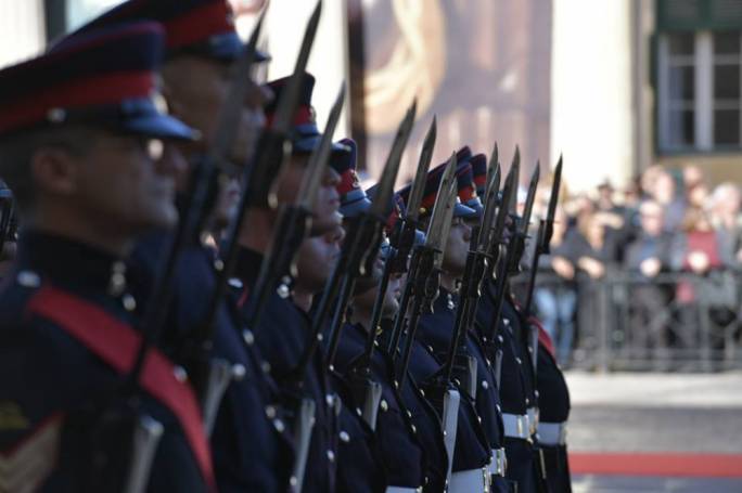
On 13 December 1974, the constitution of Malta was substantially revised, transforming the State of Malta into a republic within the Commonwealth. The British monarch was no longer Reġina ta’ Malta (Queen of Malta) and the new head of state was the President. The first President was Sir Anthony Mamo. This occasion is marked every year as Republic Day (Maltese: Jum ir-Repubblika) in Malta. The monument of Republic Day is at Marsa.

Updates

Instability till Sunday / Instabilita’ sal-Ħadd

ENGLISH/INGLIŻ

The unstable weather that has prevailed around and over the Maltese Islands since the beginning of the month will continue till late on Sunday 13/12. We’re waiting for further brief but possibly intense showers that may be accompanied by some small hail and a rumble or two of thunder. The wind, from the West to West Northwest, will remain strong. It will reach up to Force 7 at times. Such weather is typical for December and is referred to locally as ‘Pruvenz’. With this weather, the rain does not come in downpours but often at a rate that allows the soil to soak in the water without unnecessary damage ed-hrvatski.com. A ridge of high pressure should build-up across the central Mediterranean on Monday 14/12, heralding the start of a few days of stability.


MALTI / MALTESE

It-temp instabbli li ilu għaddej madwar u fuq il-Gżejjer Maltin sa mill-bidu tax-xahar se jippersisti sal-Ħadd 13/12. Nistennew ħalbiet tax-xita li jdumu biss ftit ħin imma jaf ikunu intensi, bis-silġ u forsi xi ragħda kultant. Ir-riħ, mill-Punent għal Punent Majjistru, se jibqa qawwi. Dan se jlaħħaq Forza 7 kultant. Dan it-temp huwa tipiku f’Diċembru, u lokalment insejjħulu ‘Pruvenz’. F’dan it-tip ta’ temp ix-xita ma tinżilx fi gliegel kbar imma b’rata li tħalli l-ħamrija tixrob l-ilma bilmod, mingħajra ħsara żejda. Firxa ta’ pressjoni għolja għandha tiżviluppa madwar iċ-ċentru tal-Mediterran nhar it-Tnejn 14/12, biex b’hekk tagħtina ftit jiem ta’ temp stabbli.

Updates

3 Hourly Forecast for the Feast of the Immaculate Conception (08/12/2020)

00:00 to 03:00 – partly cloudy; 14°C to 13°C; Southwest Force 3 to 4
03:00 to 06:00 – partly cloudy; 13°C to 12°C; Southwest Force 4 to 5
06:00 to 09:00 – partly cloudy; 12°C to 14°C; Southwest Force 5
09:00 to 12:00 – partly cloudy; 14°C to 16°C; Southwest Force 5 to 6
12:00 to 15:00 – partly cloudy; 16°C to 18°C; Southwest Force 6 to 7
15:00 to 18:00 – variably cloudy with possible isolated showers; 18°C to 17°C; Southwest Force 7 (with gusts of up to Force 8)
18:00 to 21:00 – variably cloudy with possible isolated showers; 16°C / 17°C; Southwest Force 7 (with gusts of up to Force 8)
21:00 to 00:00 – variably cloudy with possible isolated showers; 16°C / 17°C; Southwest to West Southwest Force 7 (with gusts of up to Force 8)

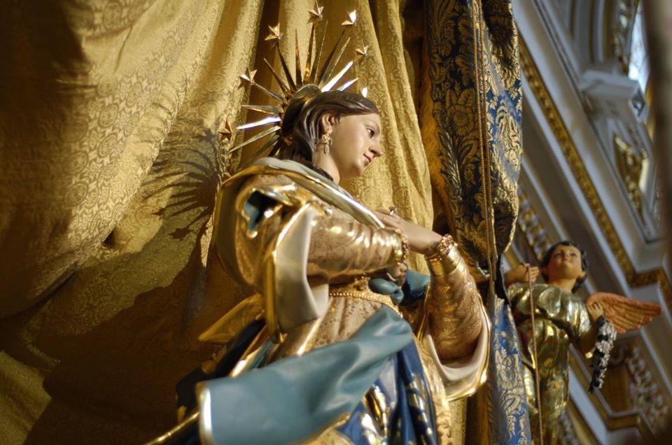
The feats of the Immaculate Conception is associated with various ancient traditions around the Maltese Islands. It is a public holiday in the archipelago nation. It is celebrated at the Franciscan Conventual church in Victoria, at the Immaculate Conception sanctuary in Qala and in the town of Cospicua. In Gozo, a traditional motorcycle pilgrimage accompanied by the statue of the Virgin Mary takes place. It leaves the Ta’ Pinu sanctuary in Għarb and ends at the Immaculate Conception sanctuary in Qala.