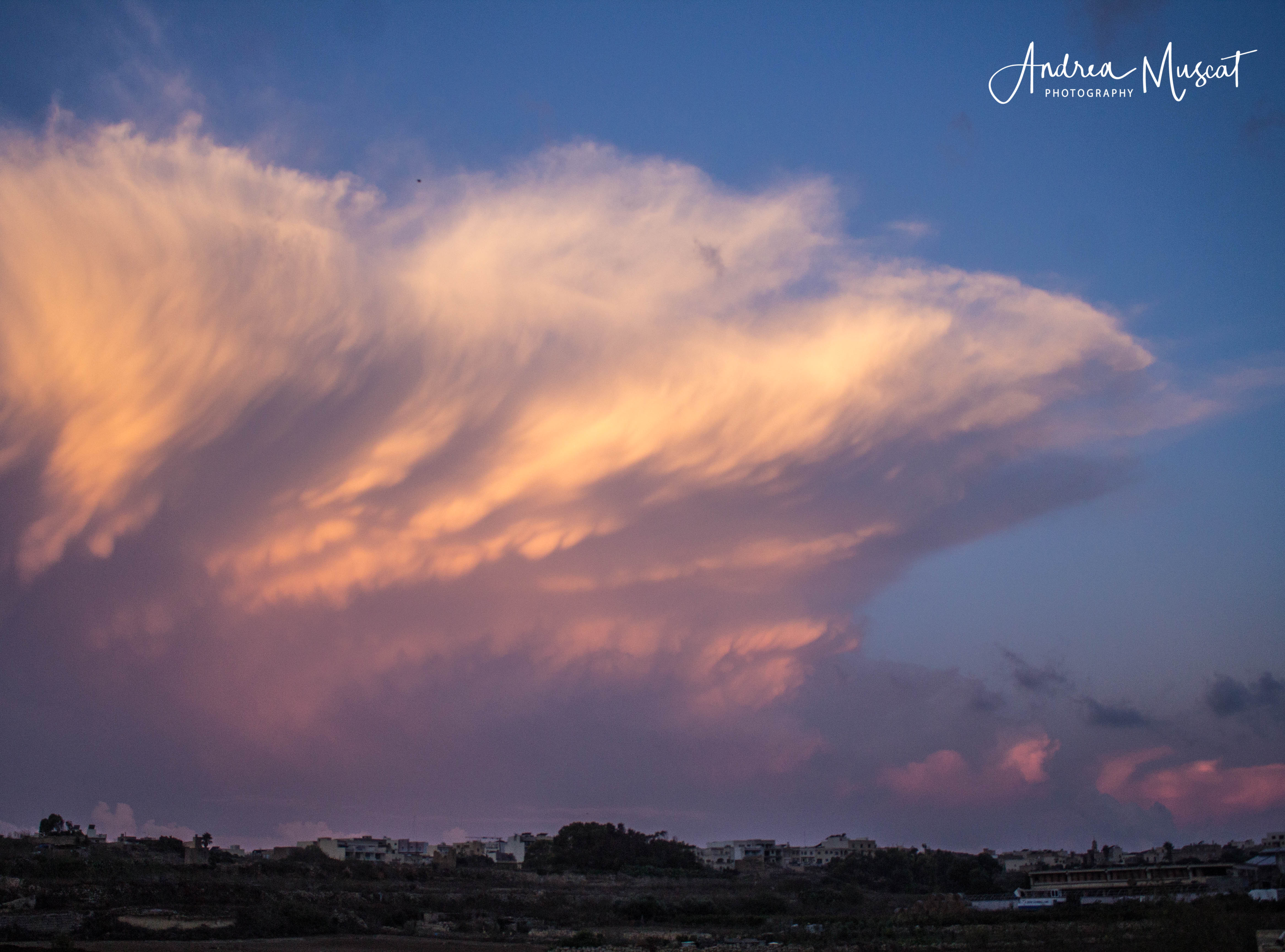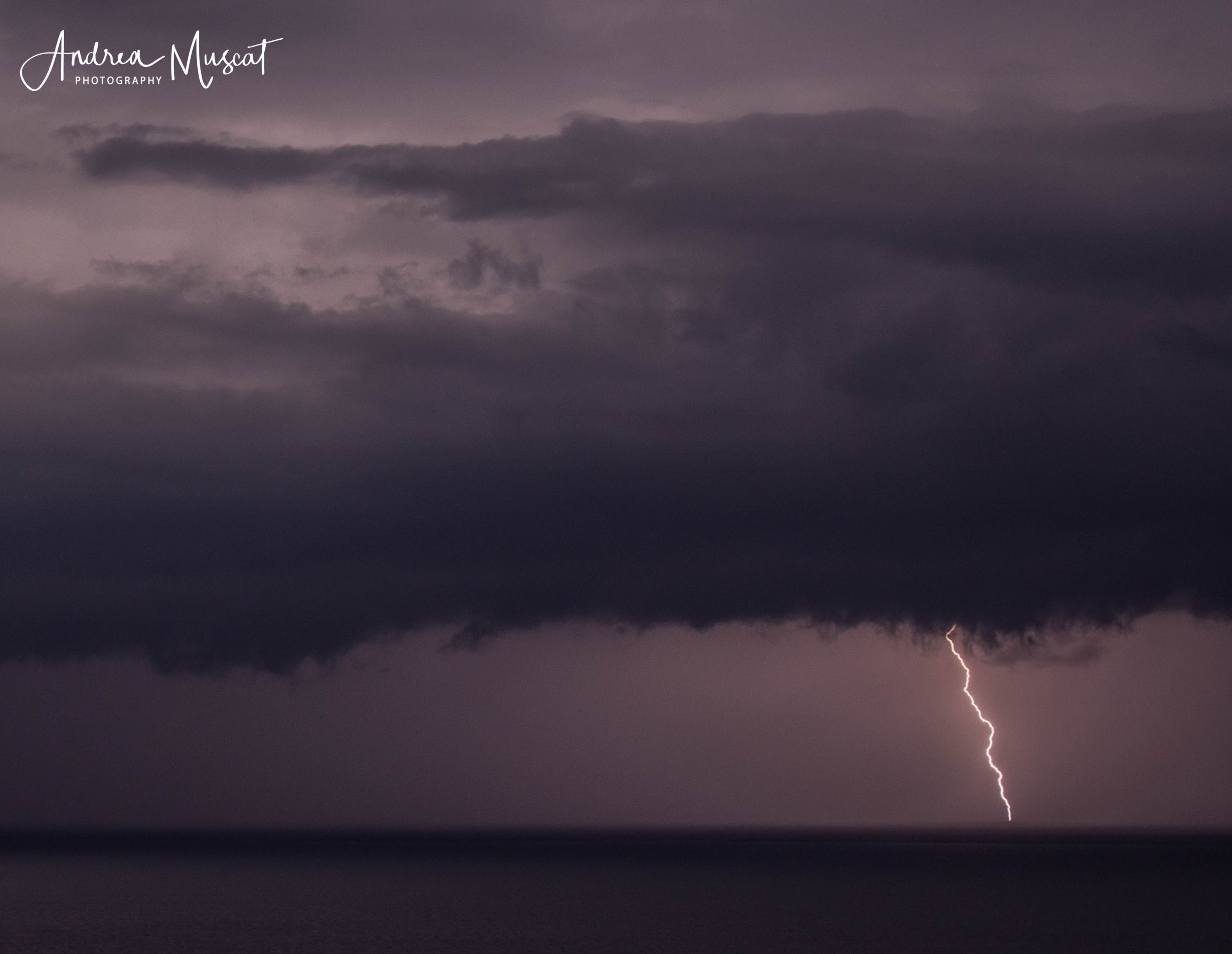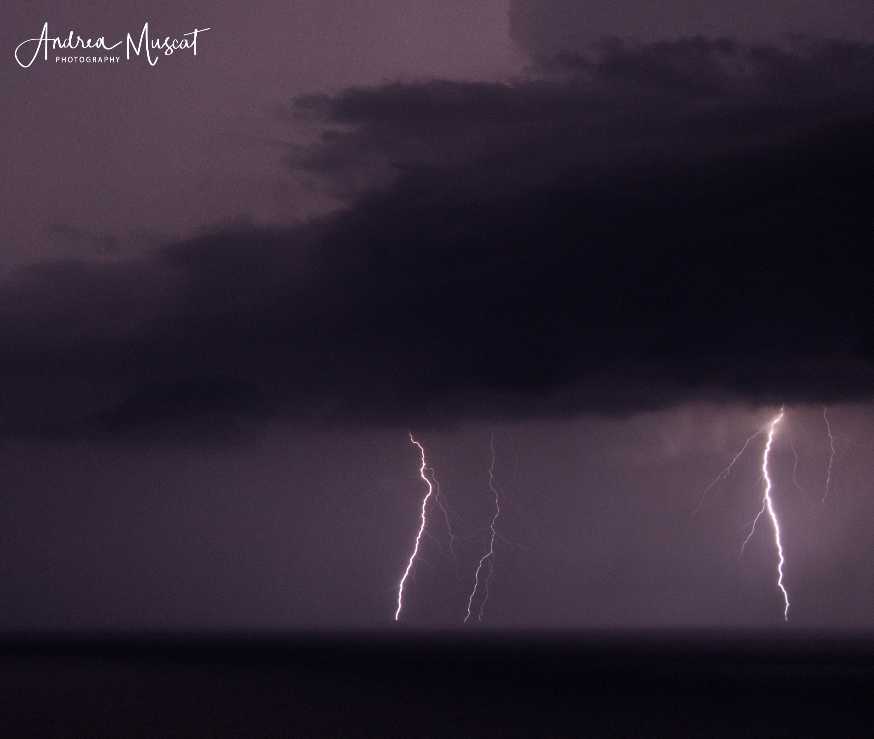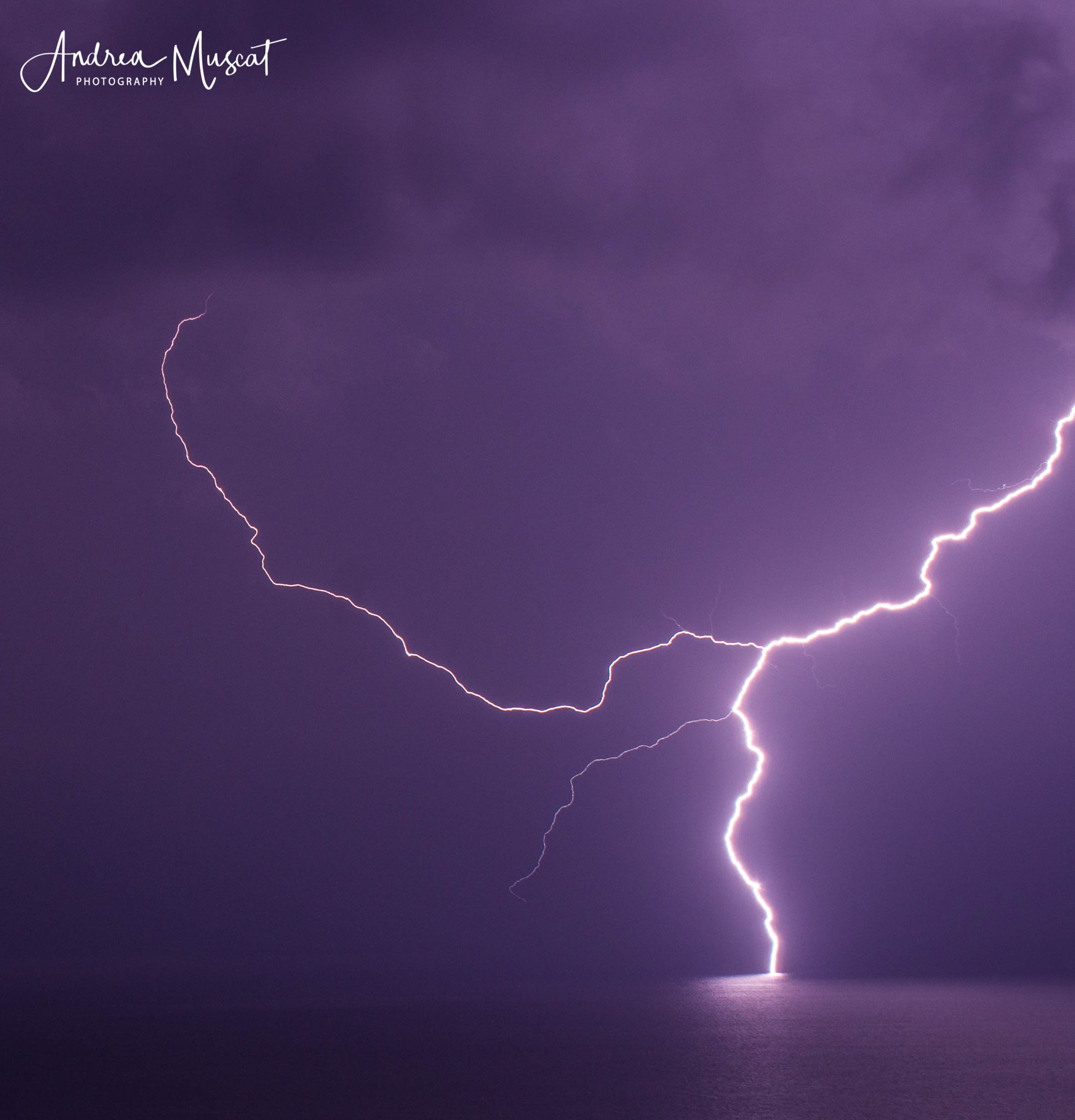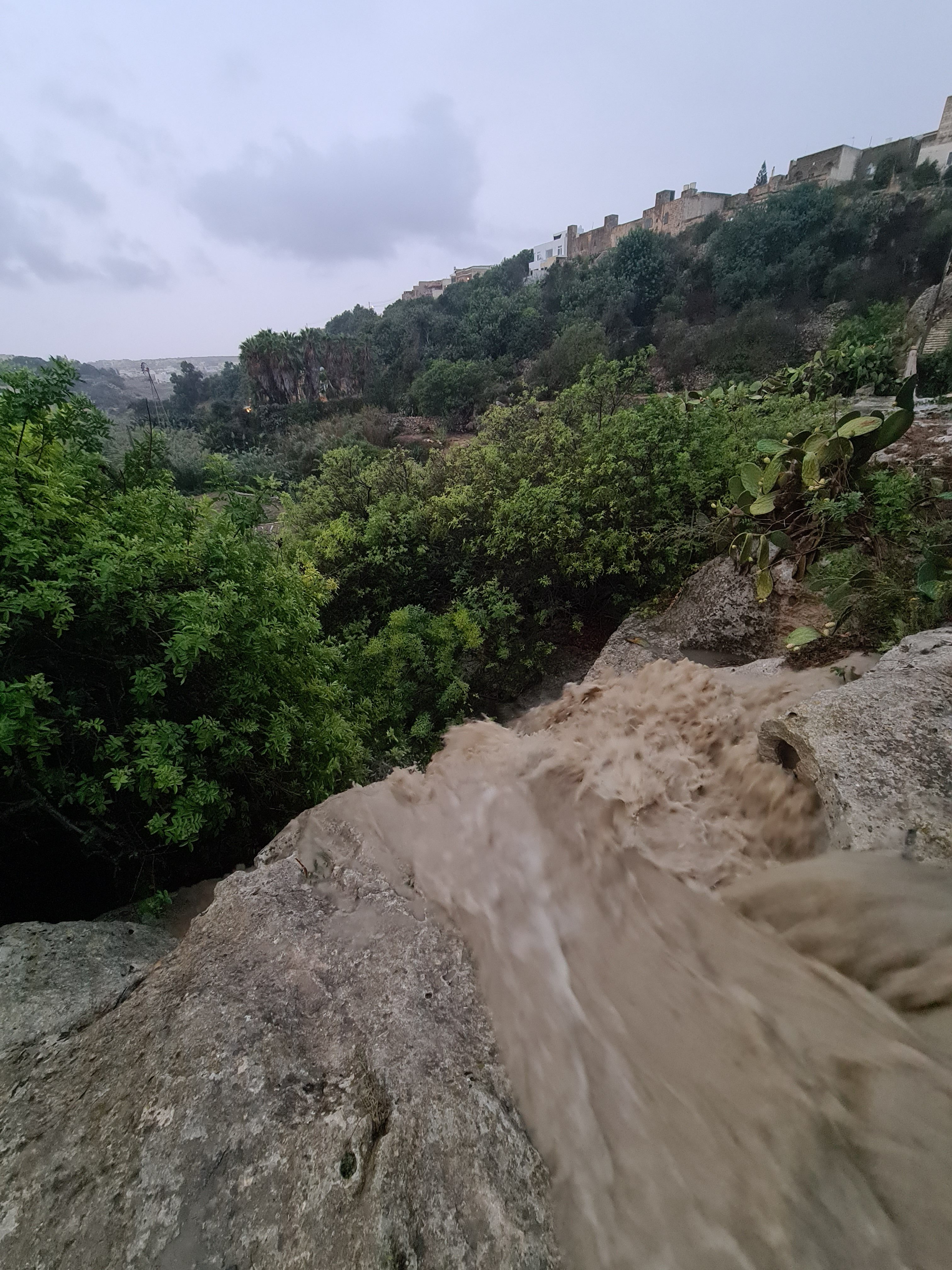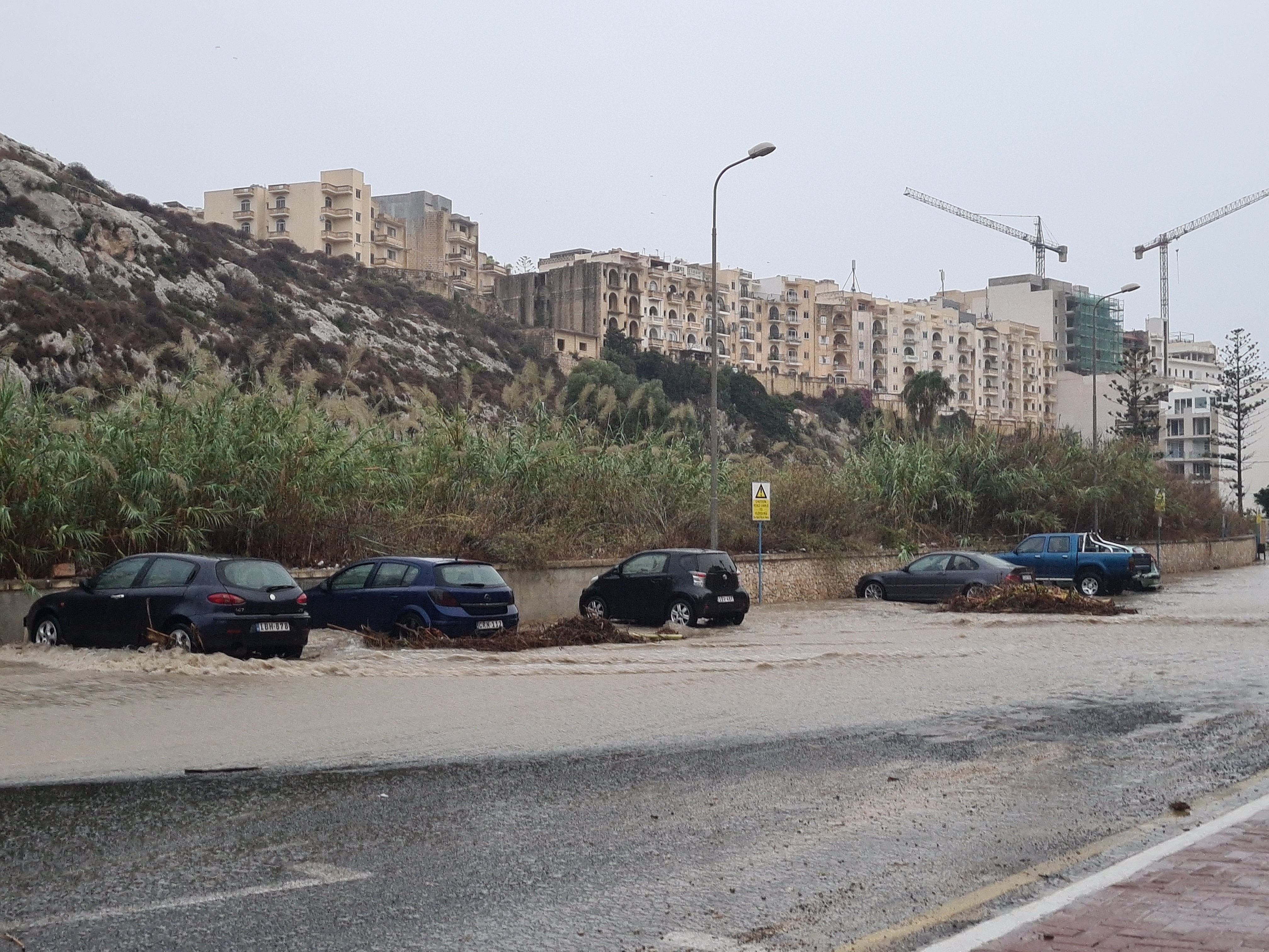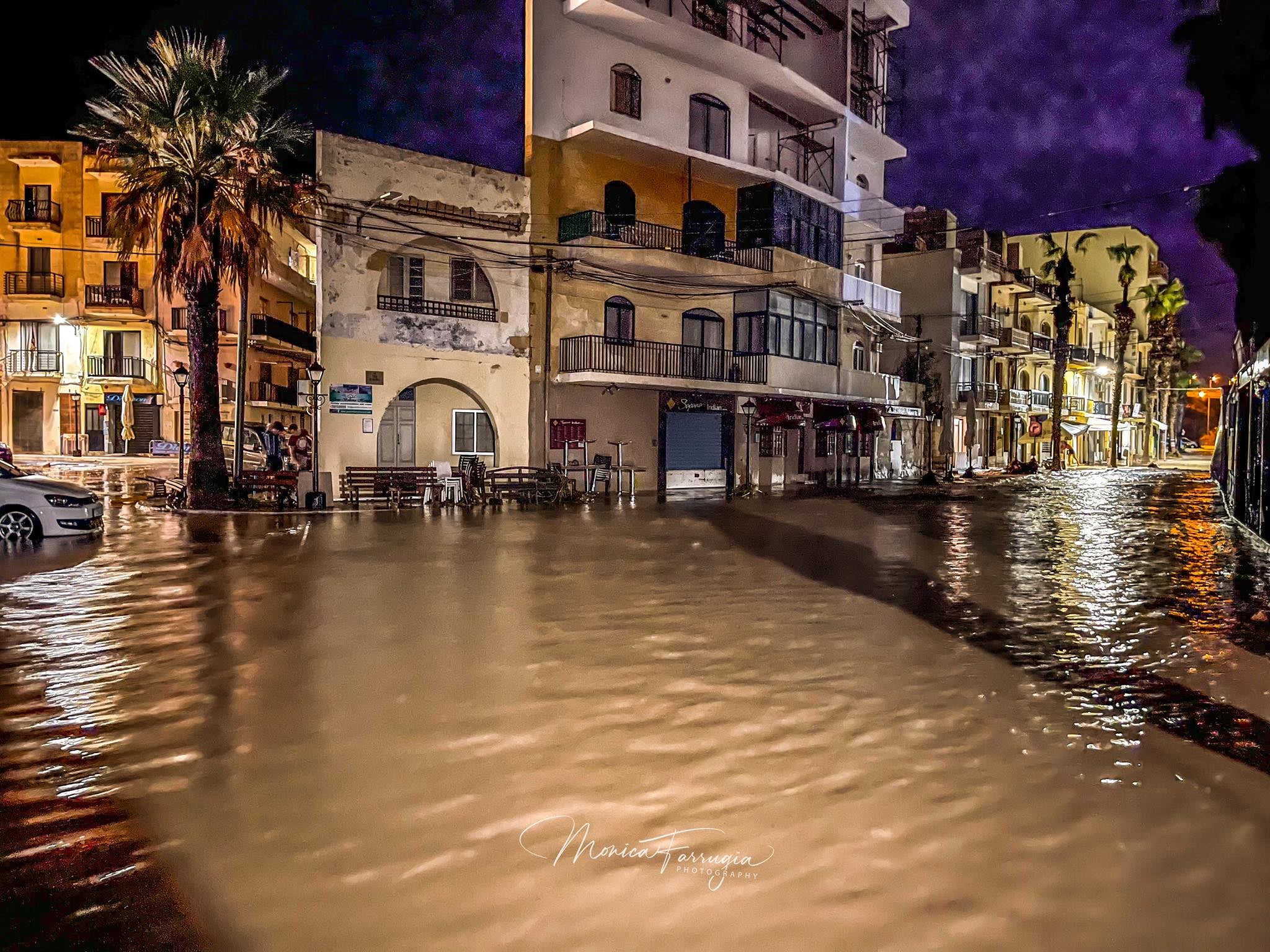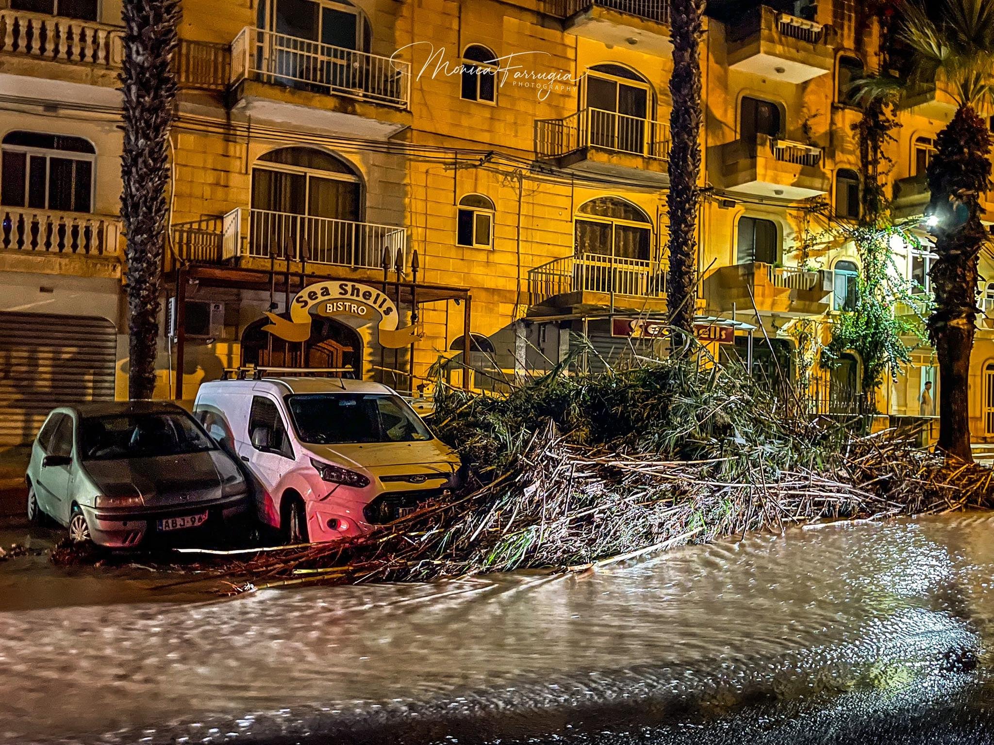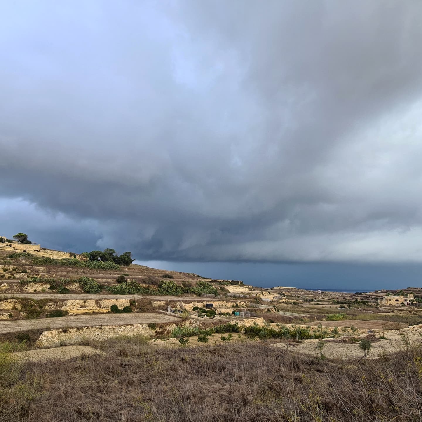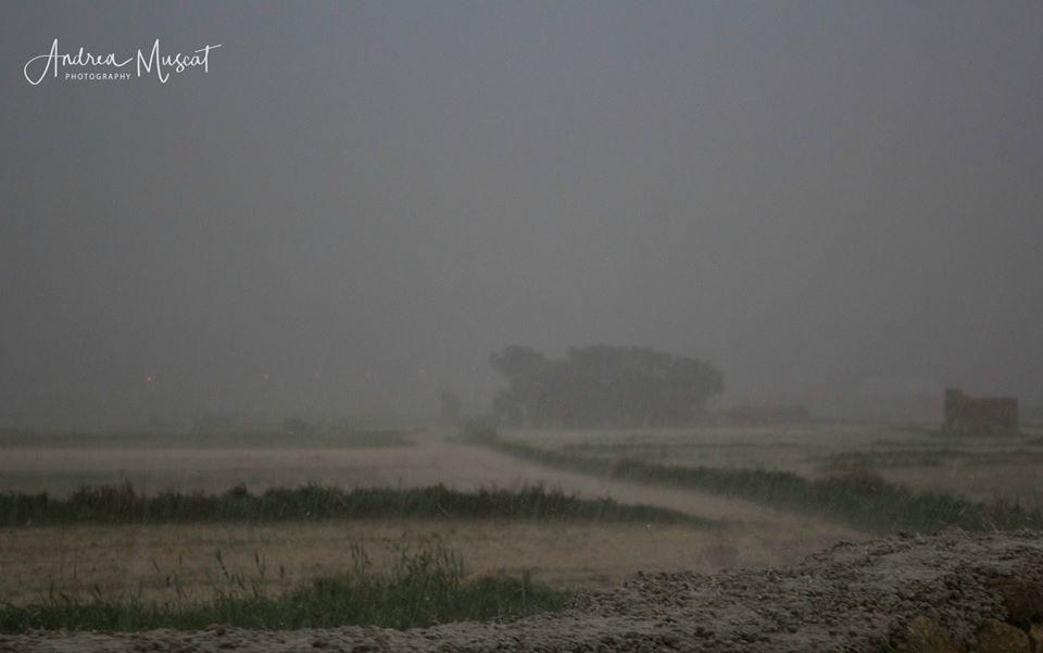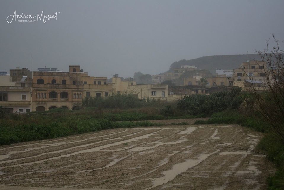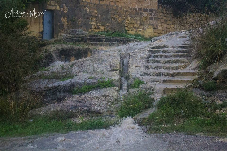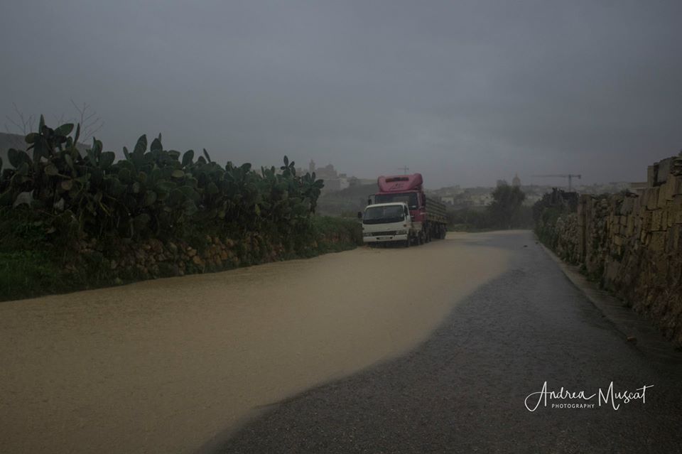
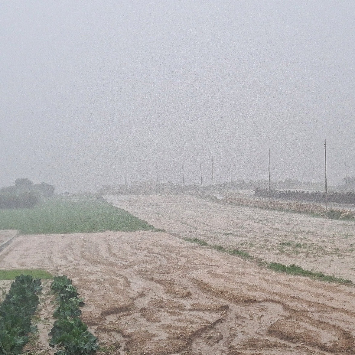
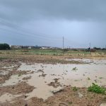
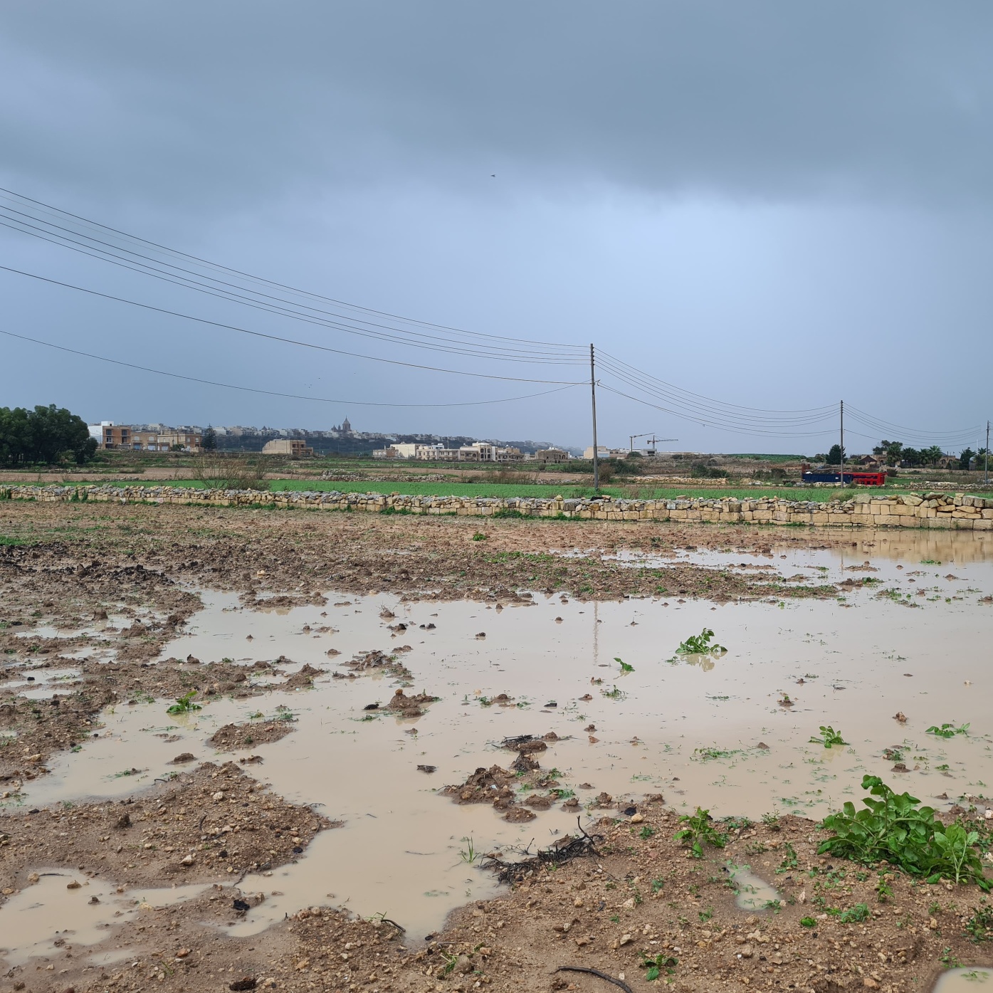
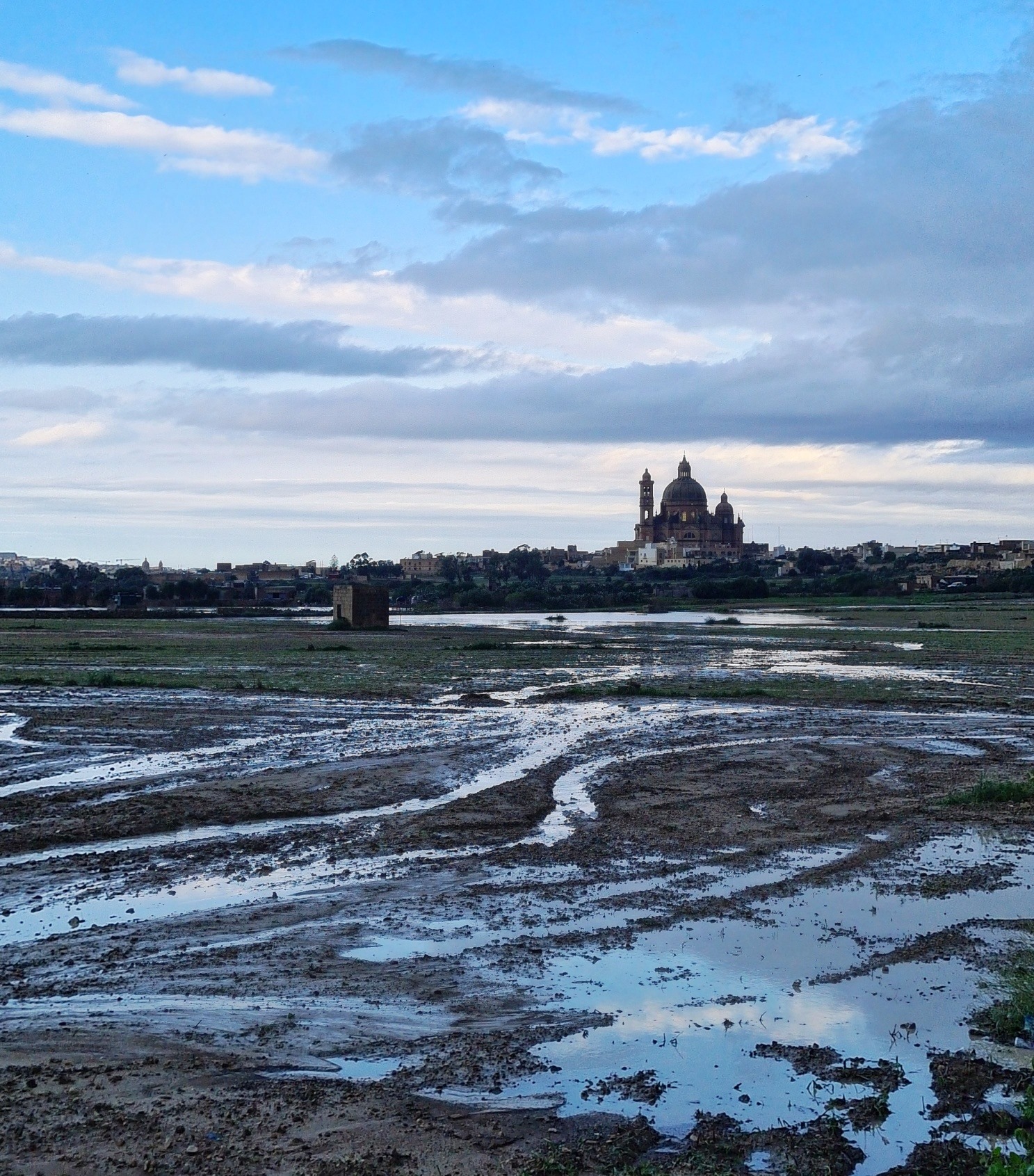
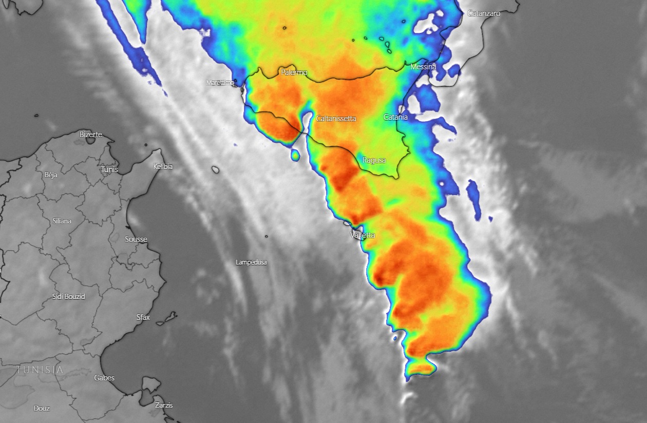
Squall Line on 11/11/2021
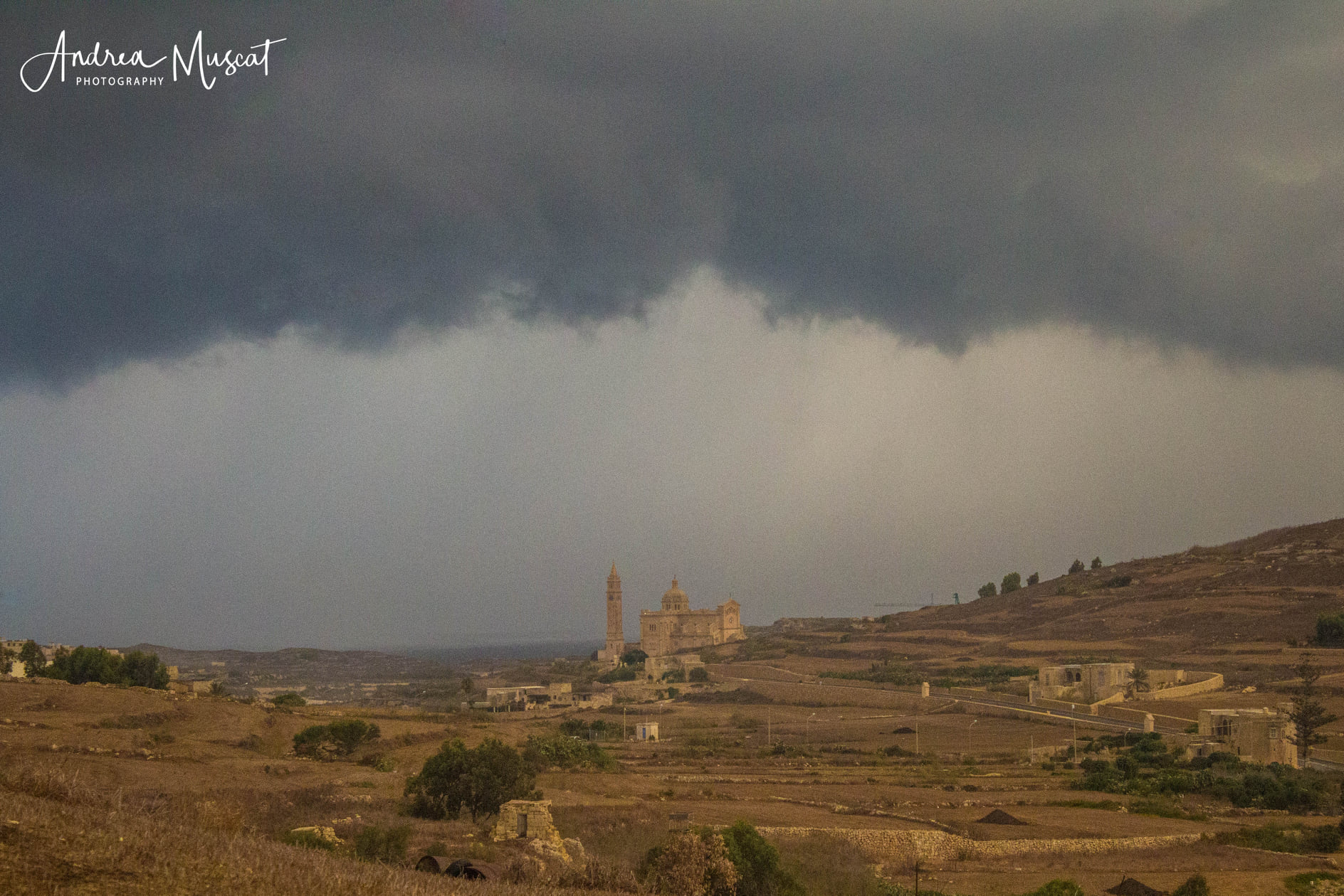
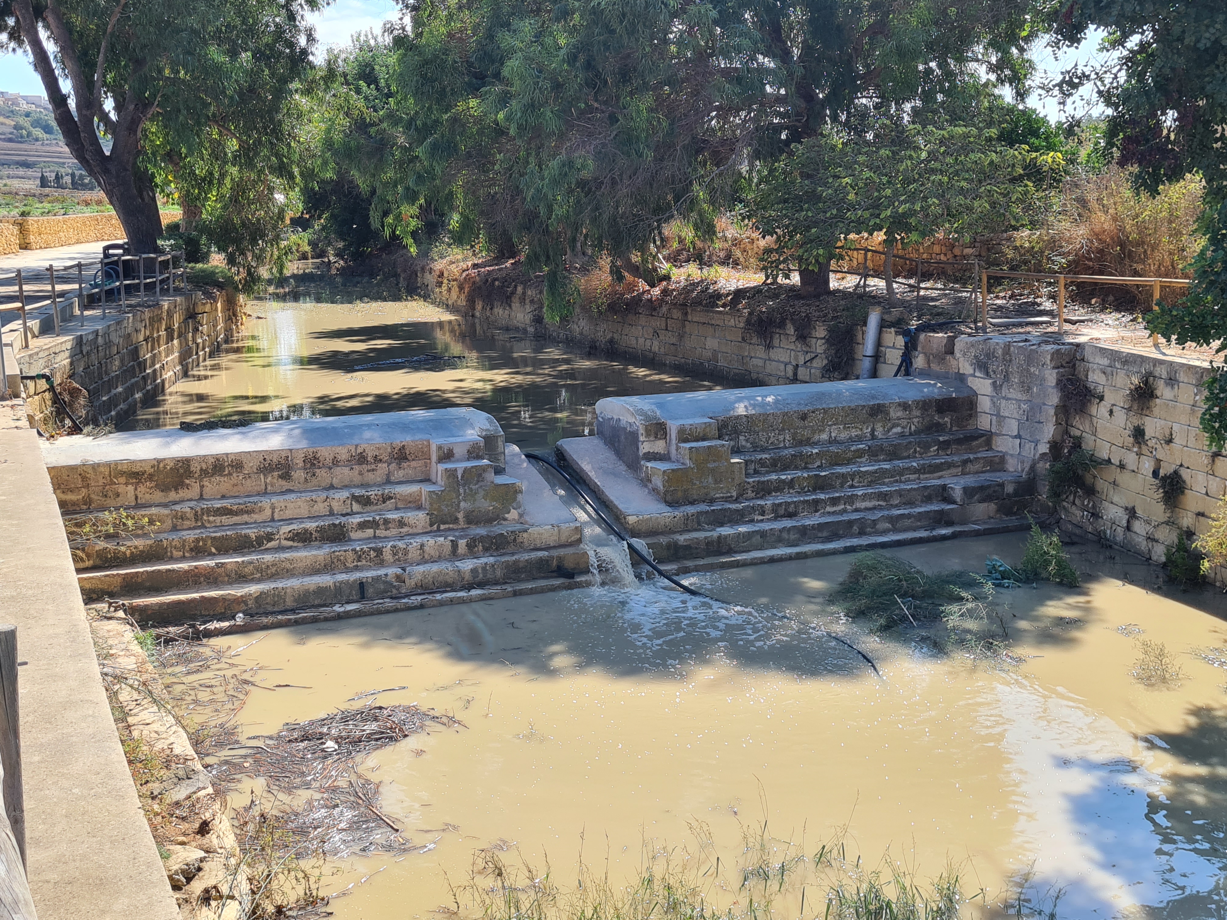
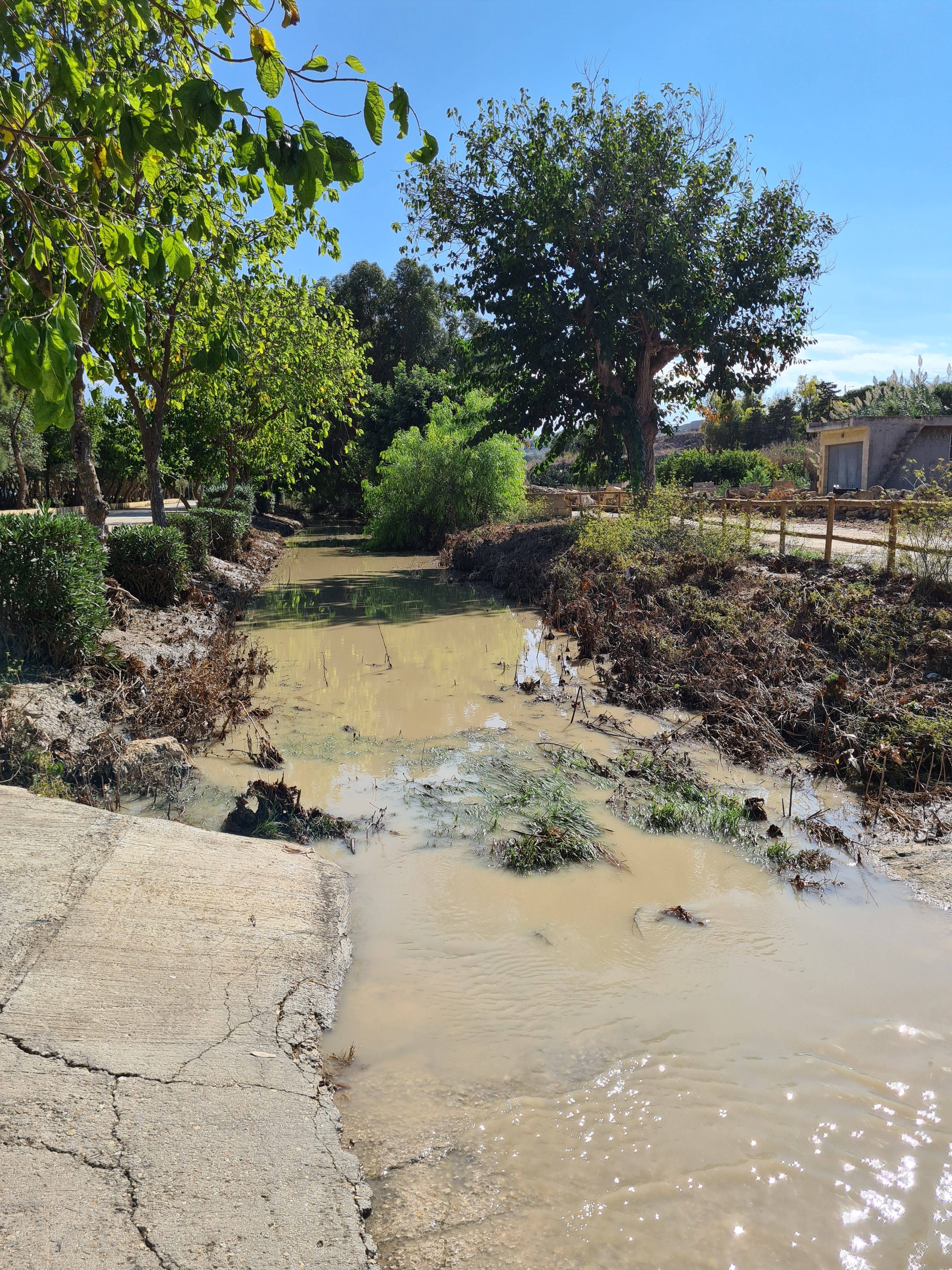
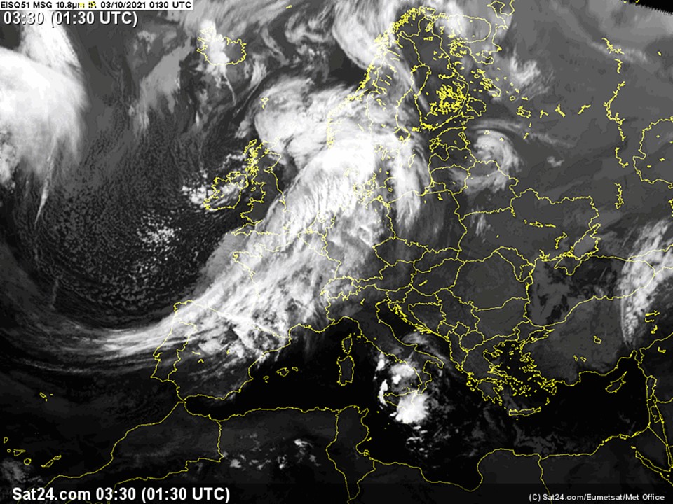
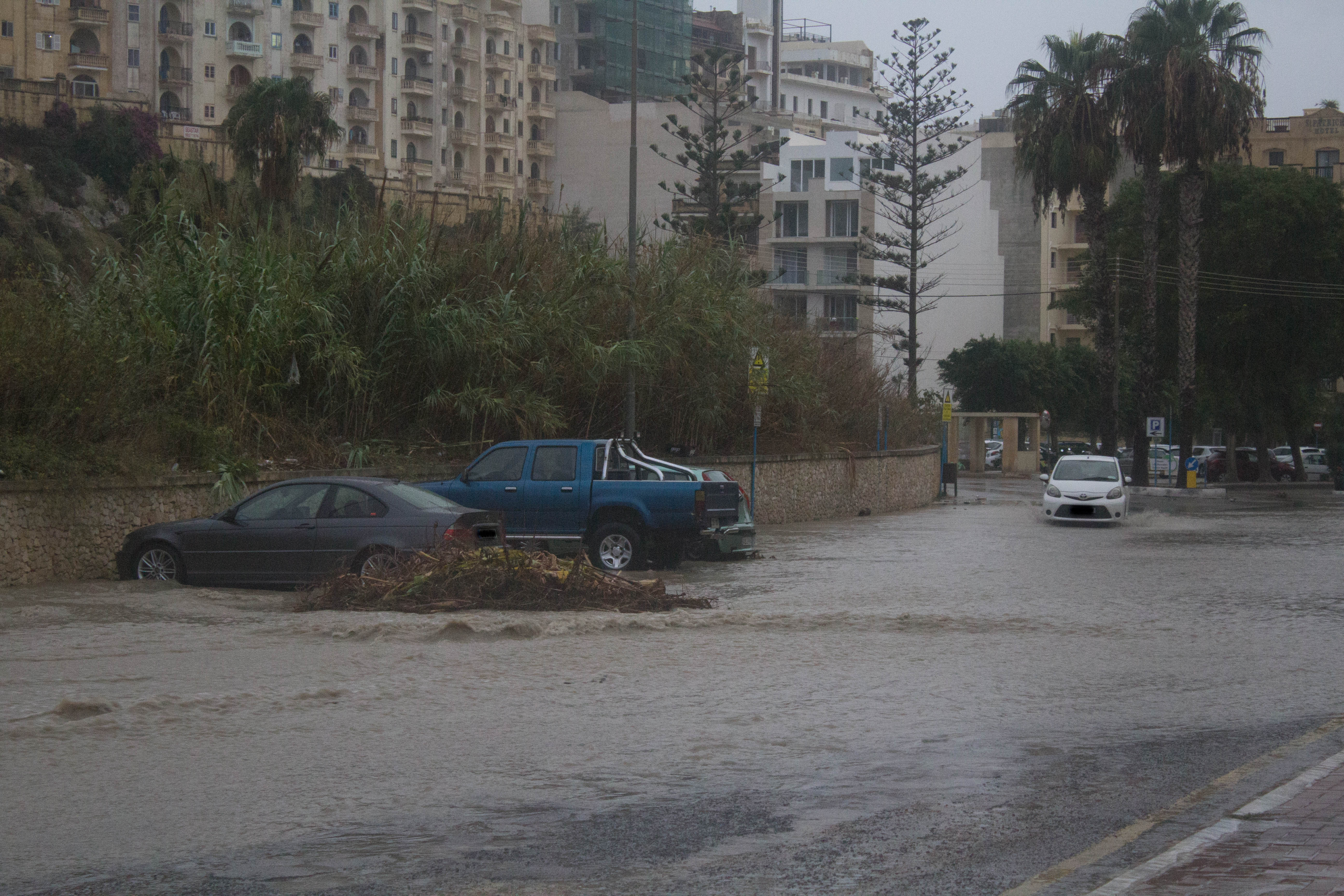
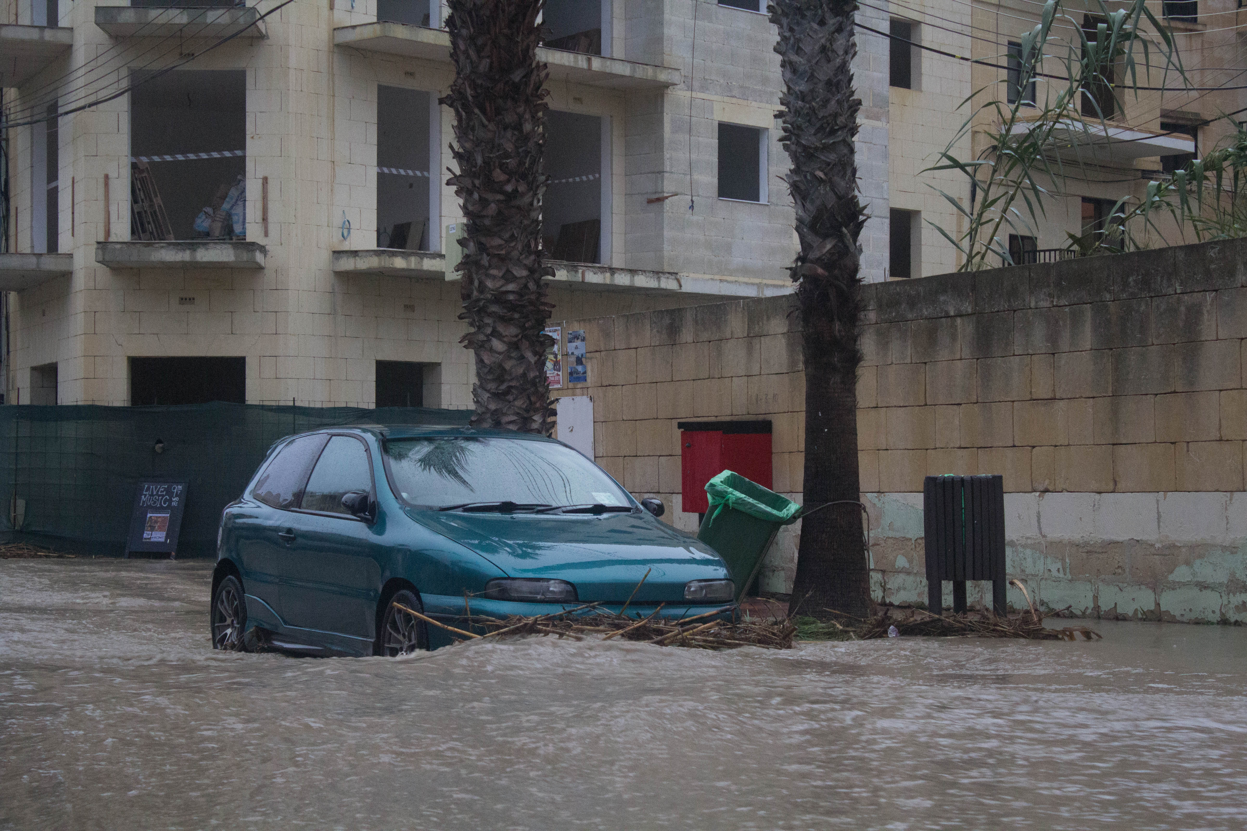
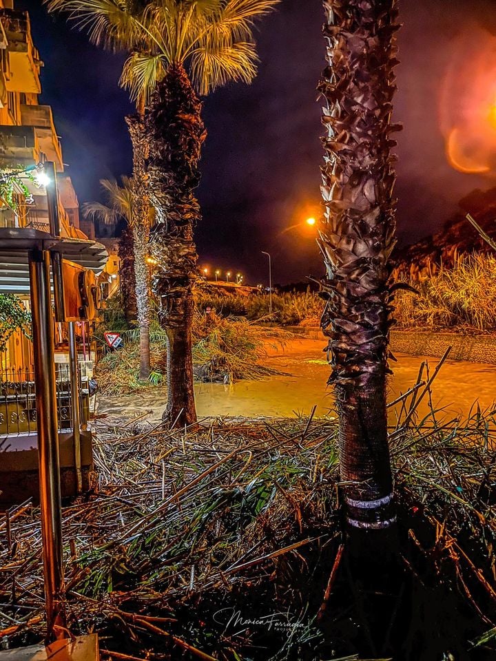
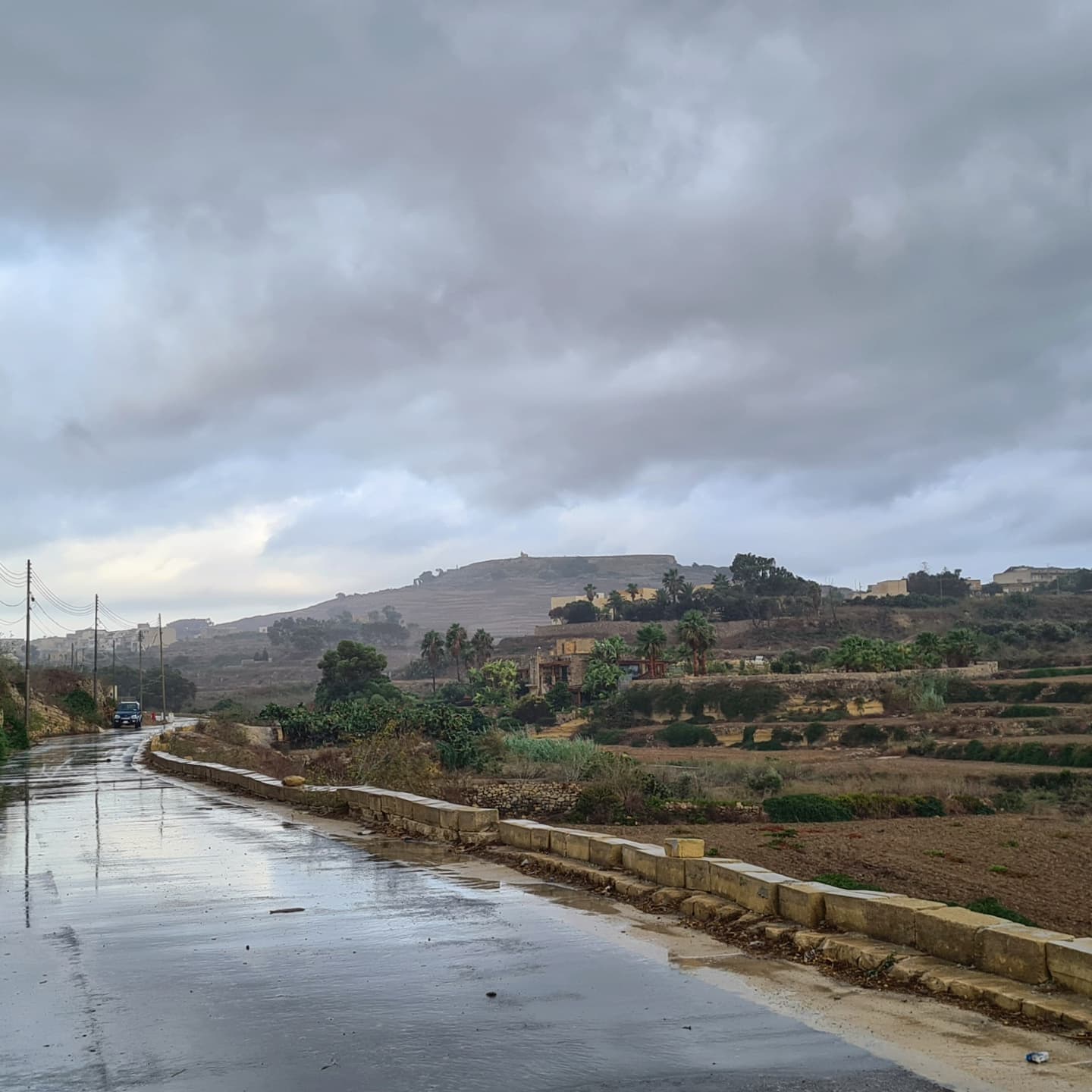
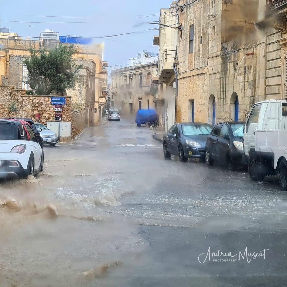
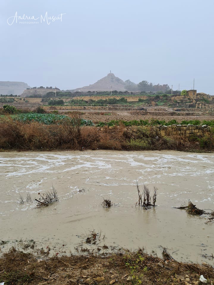
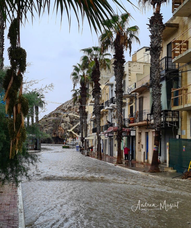
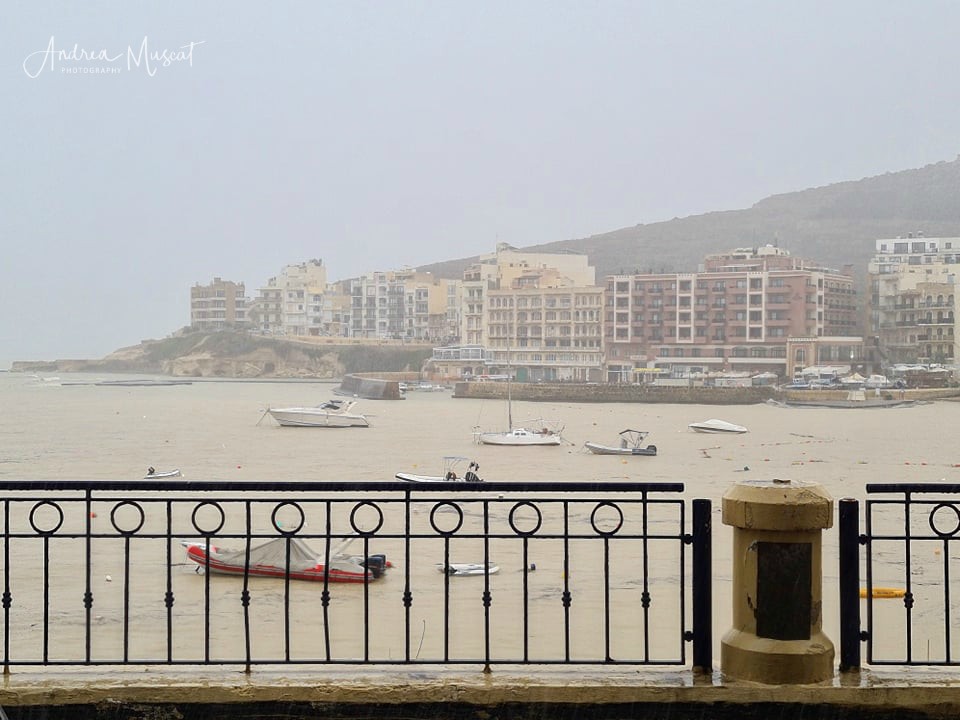
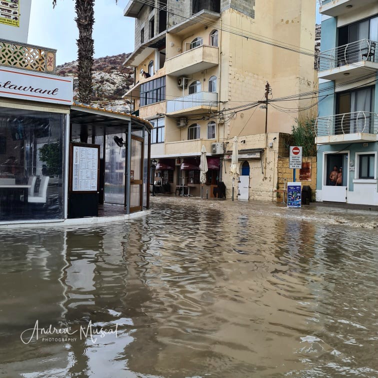
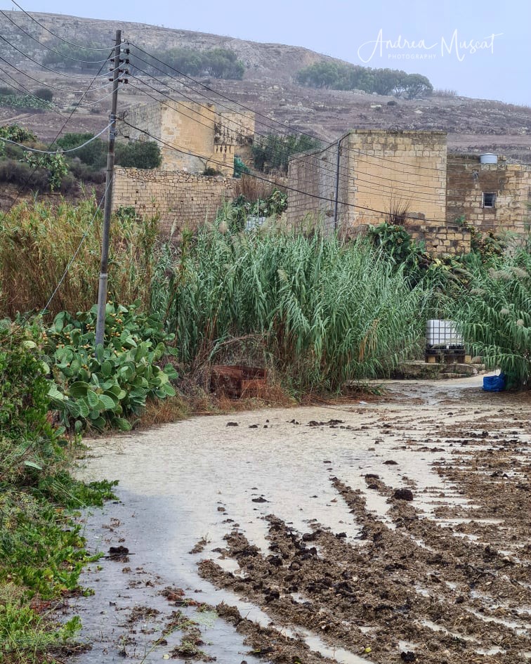
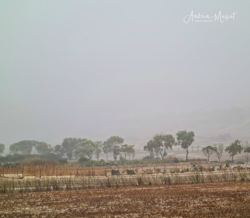
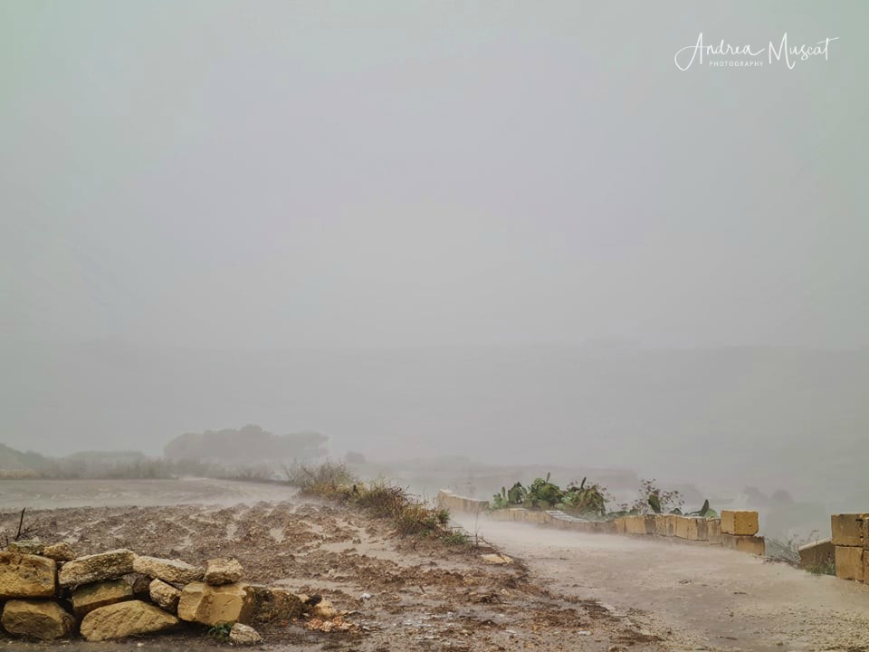
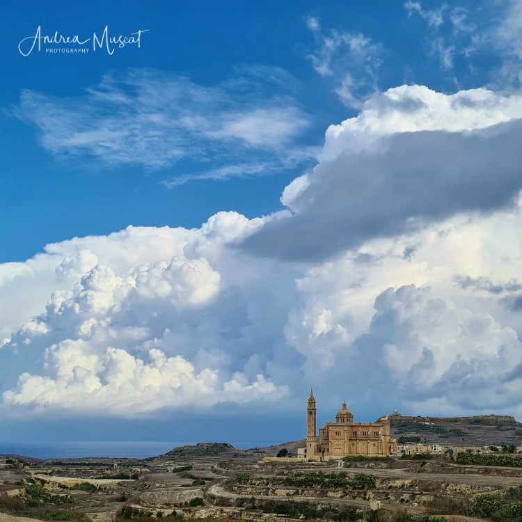
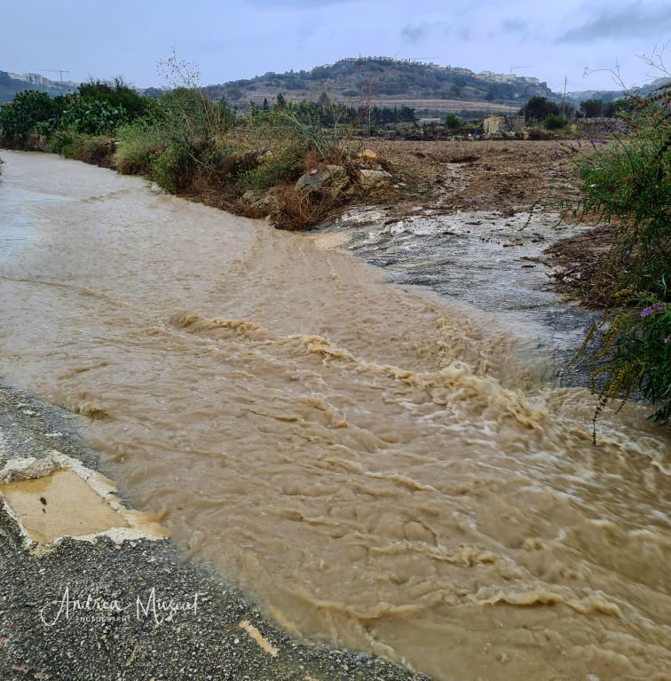
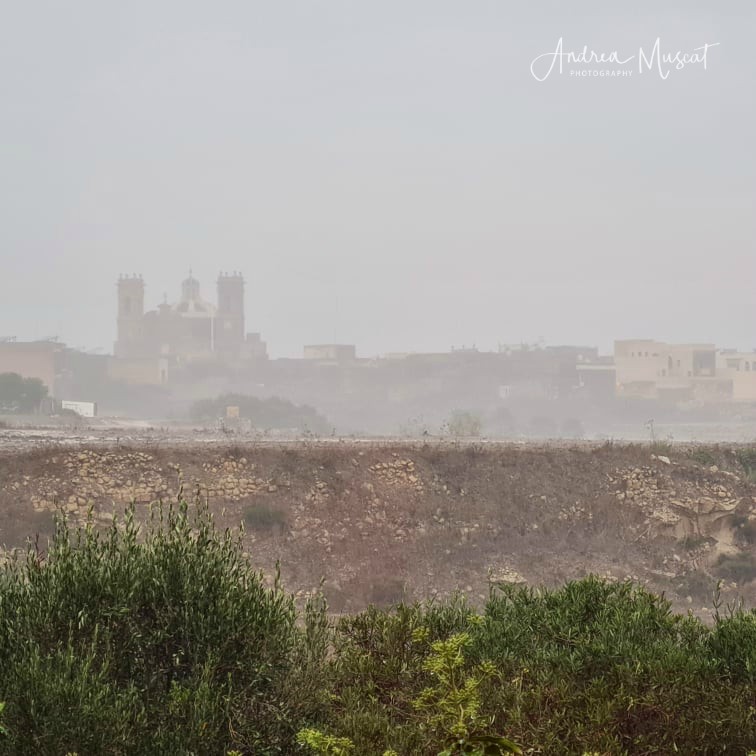
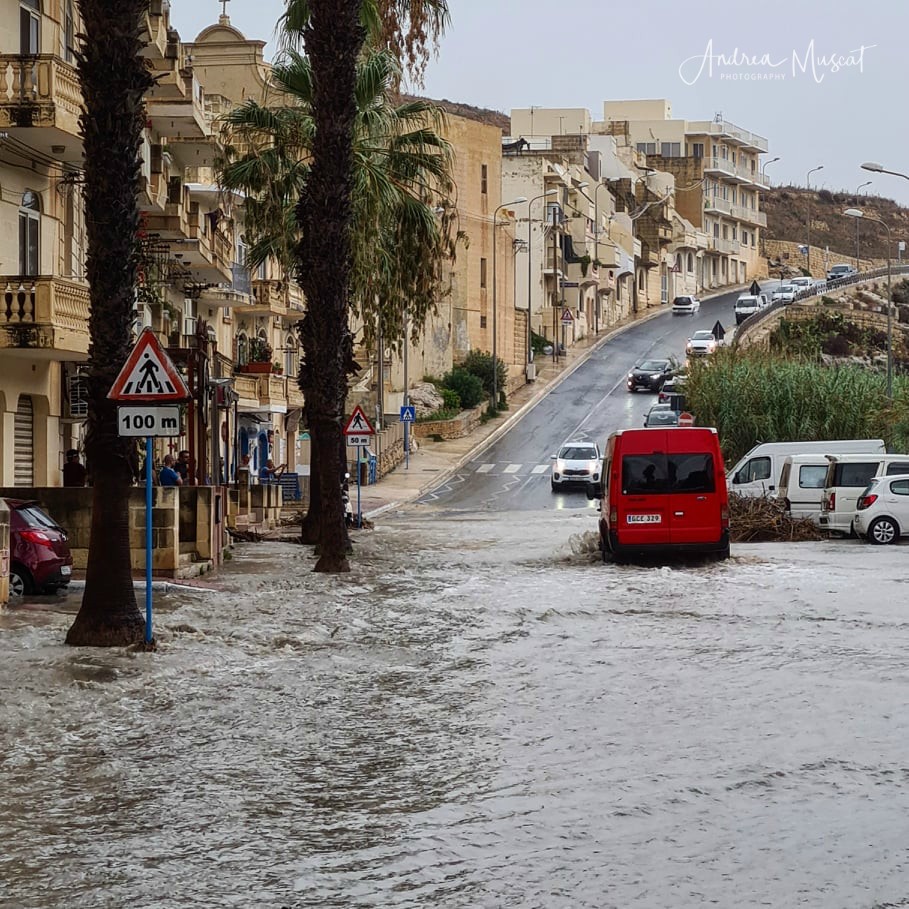
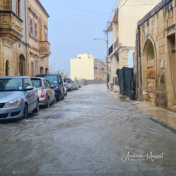
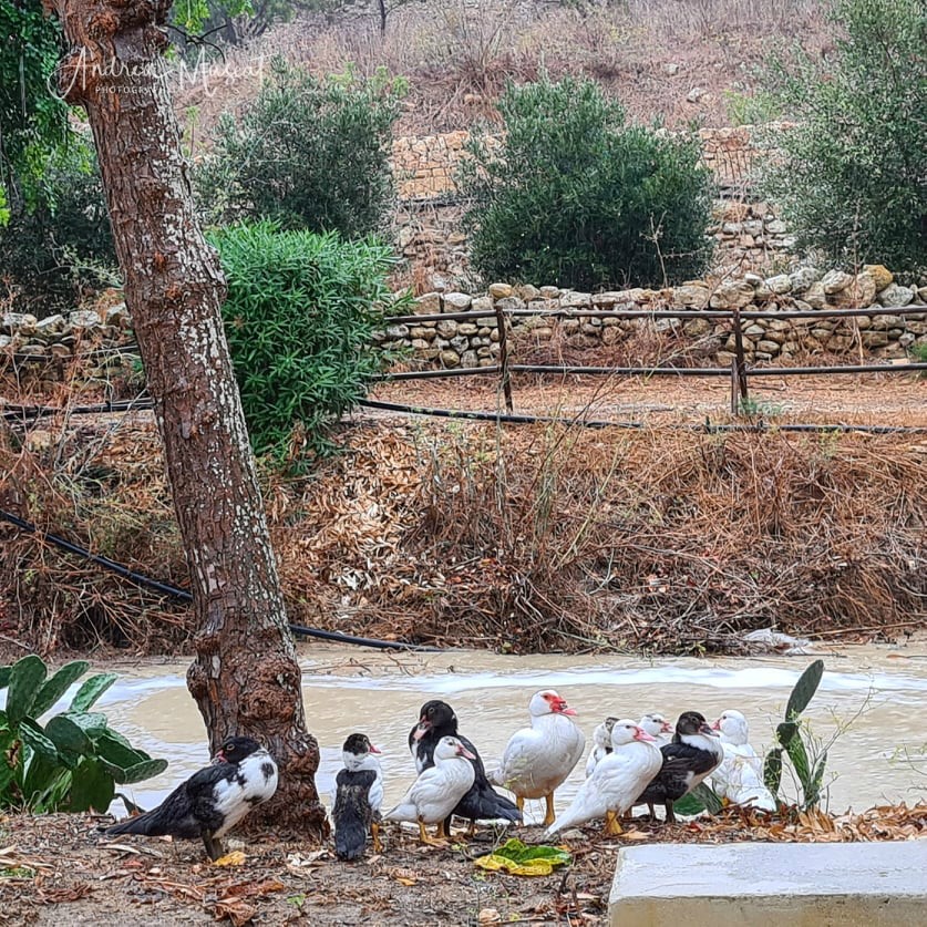
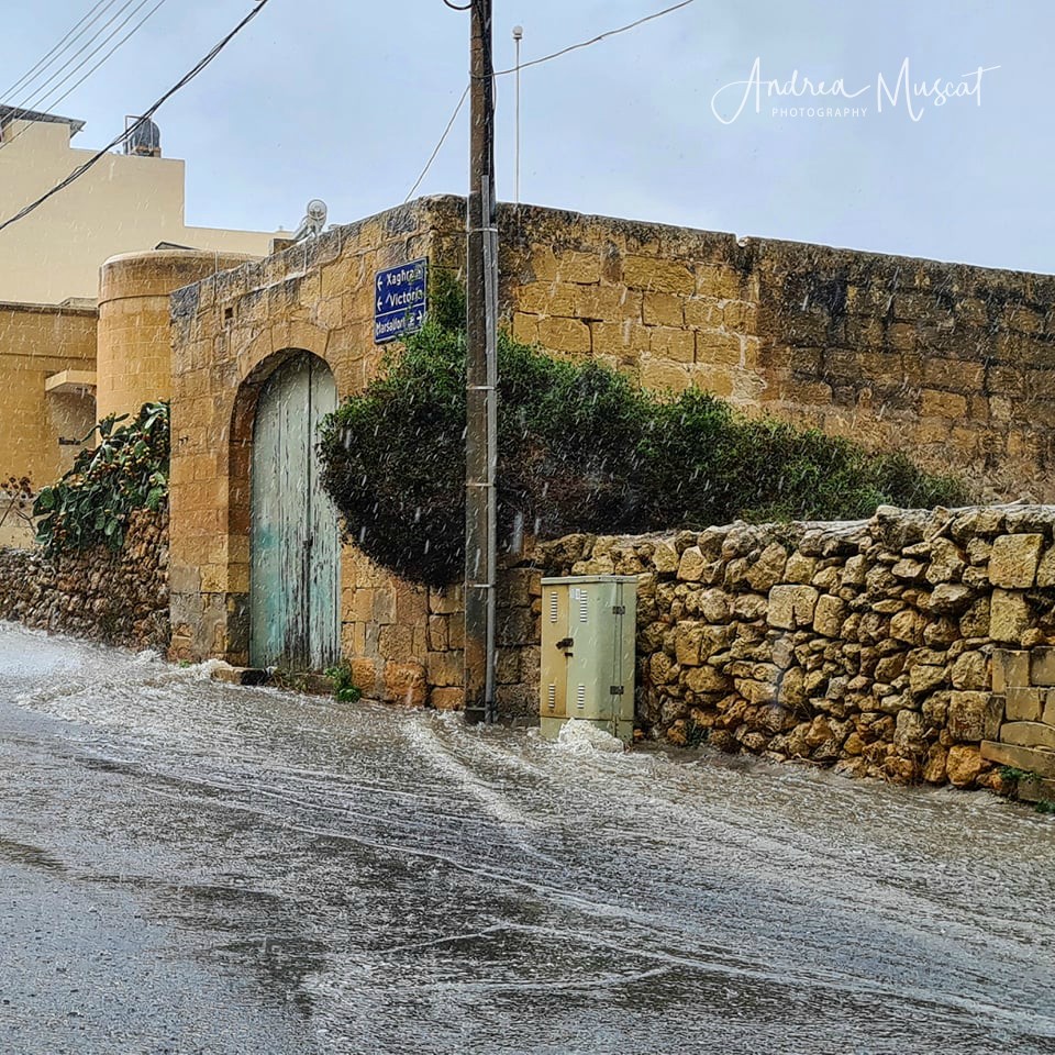
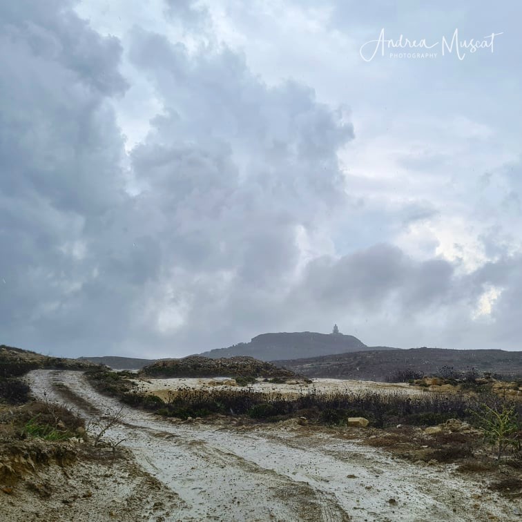
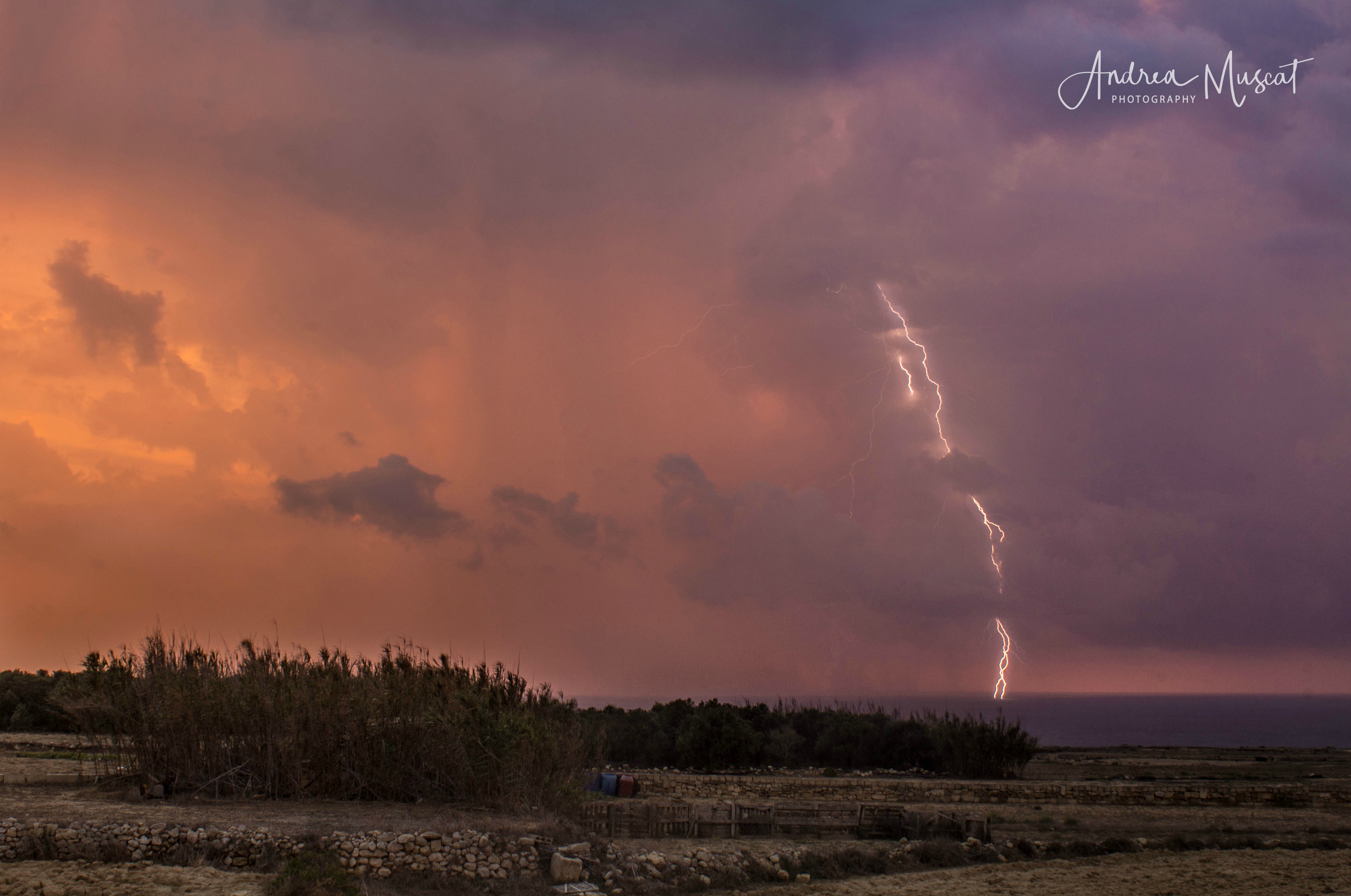
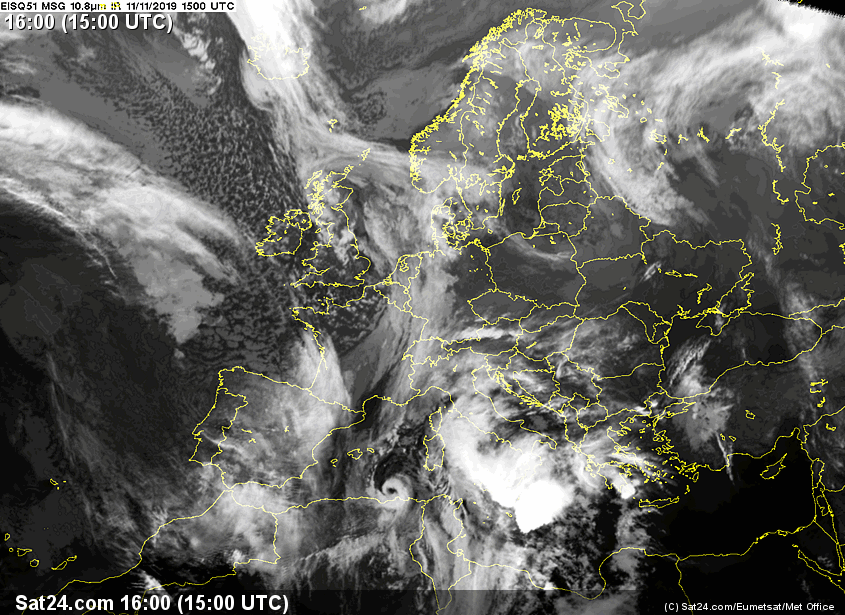
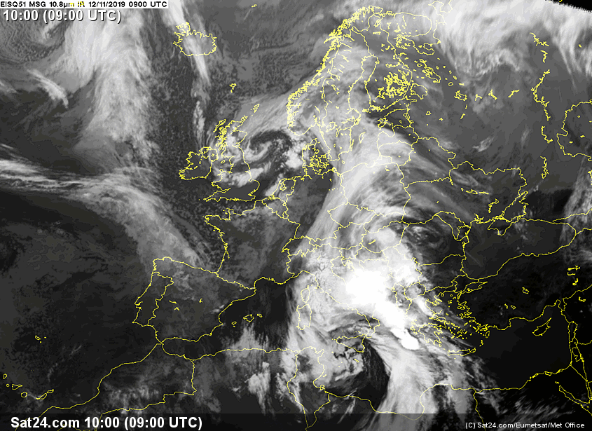
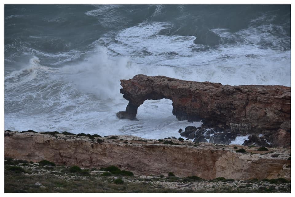
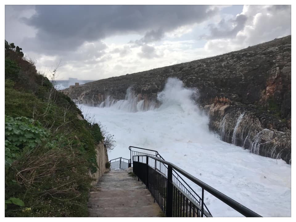
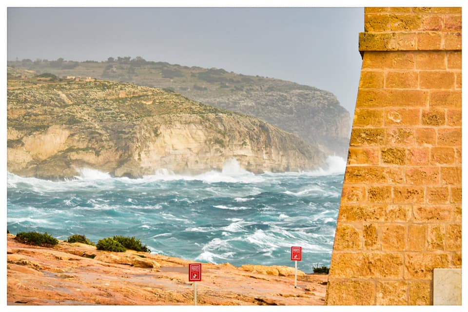
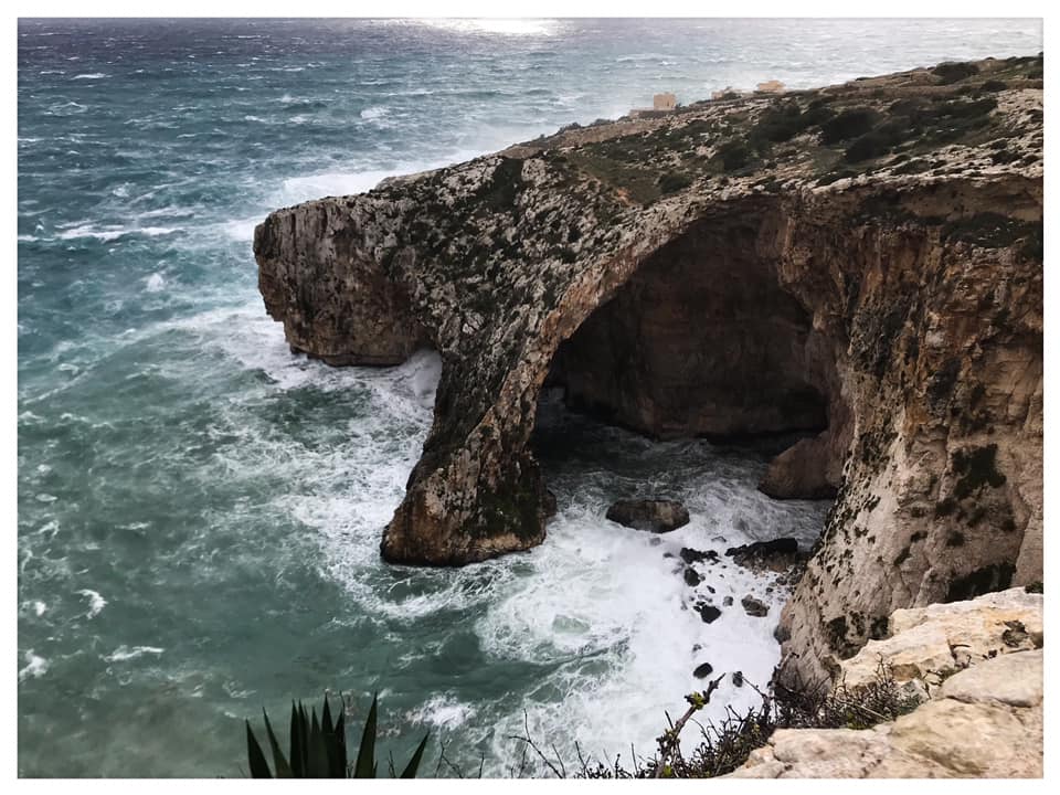
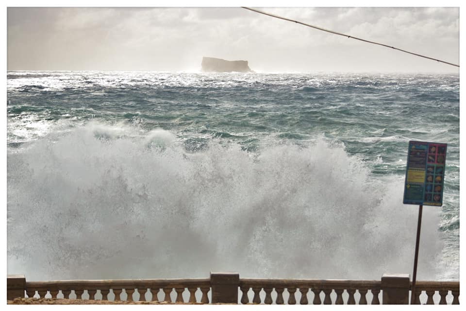
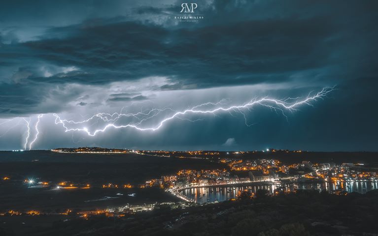
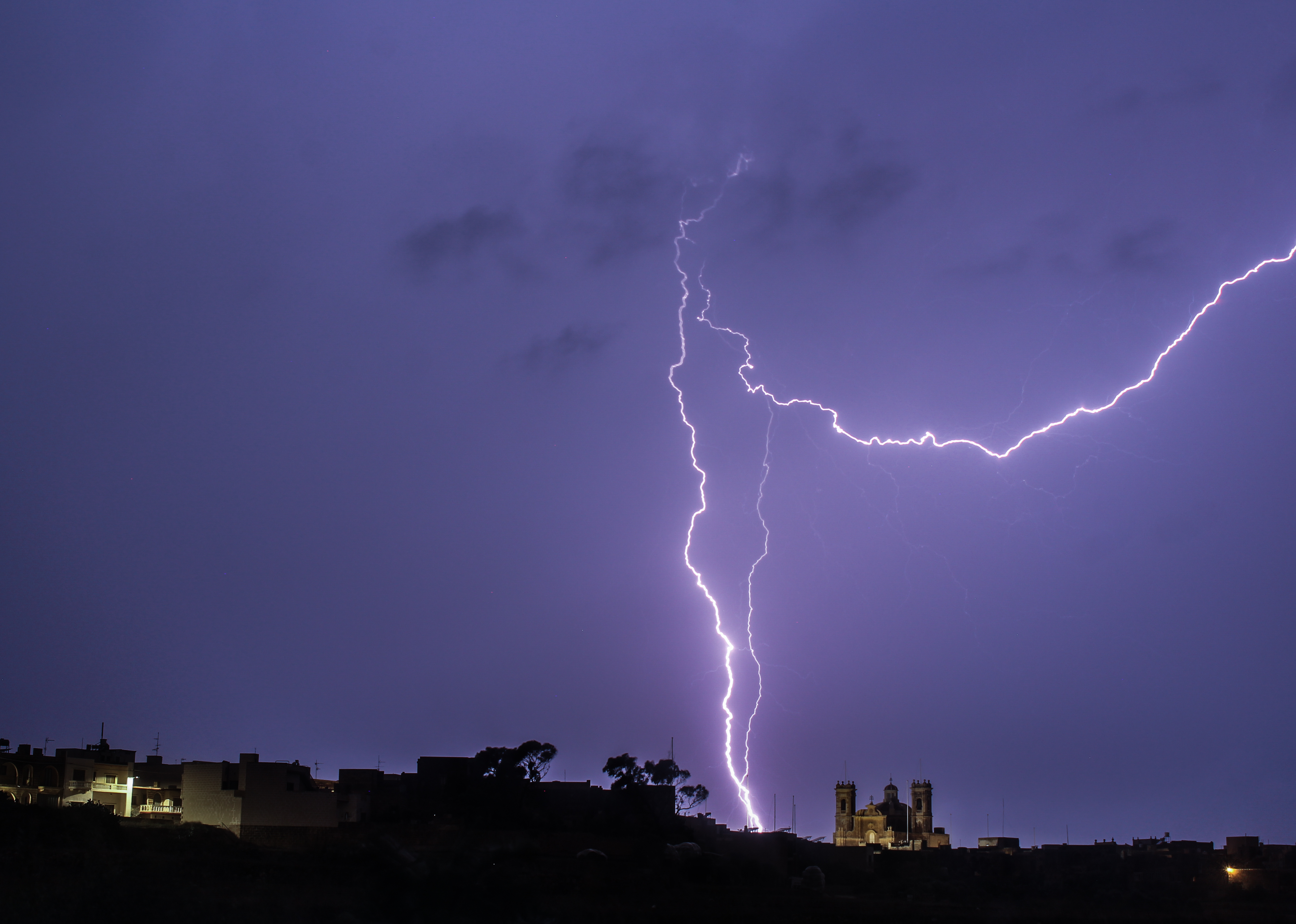
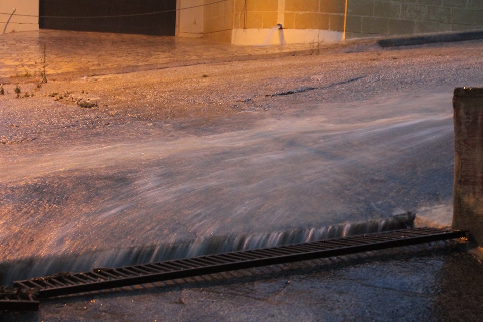
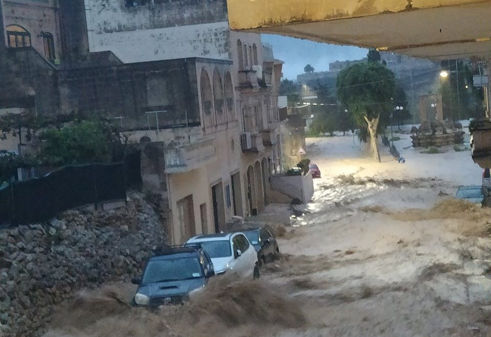
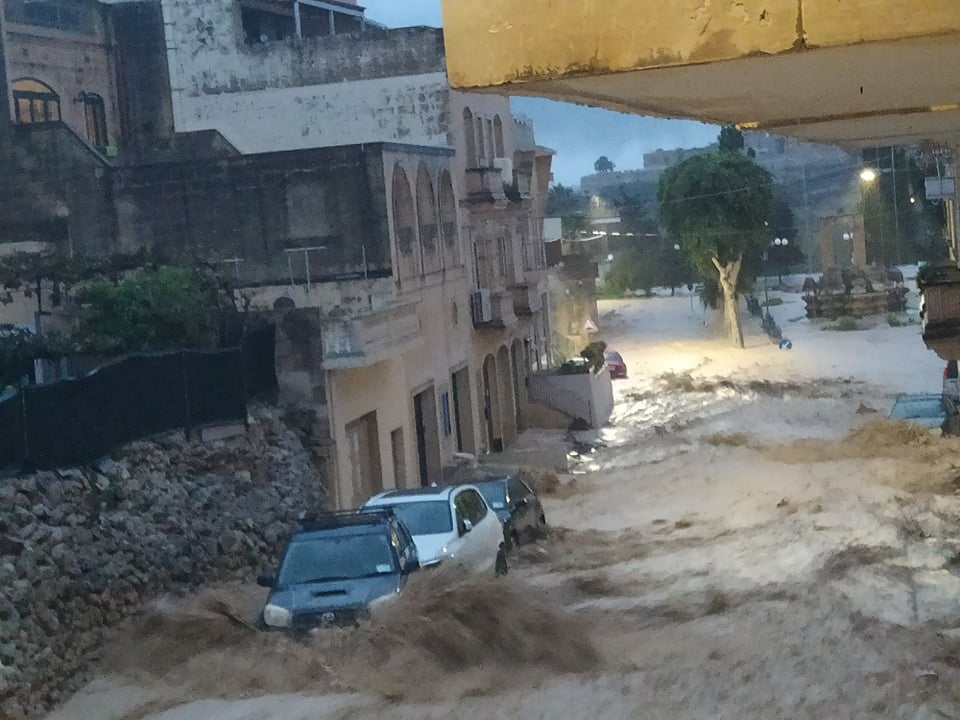
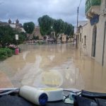
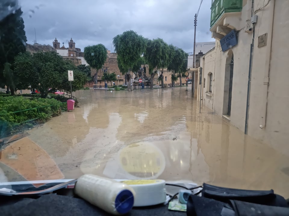
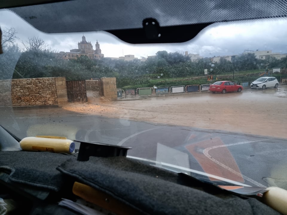
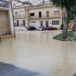
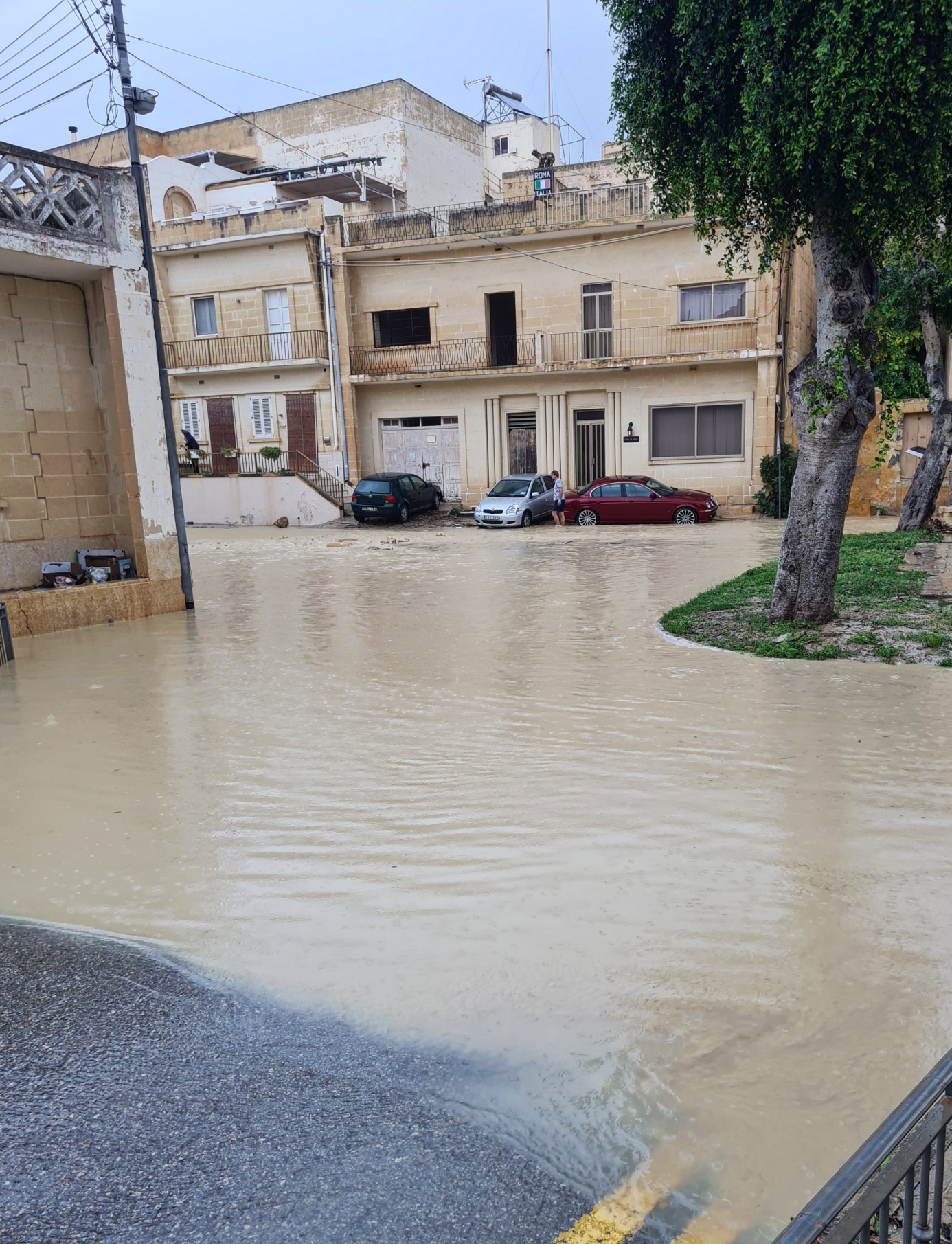
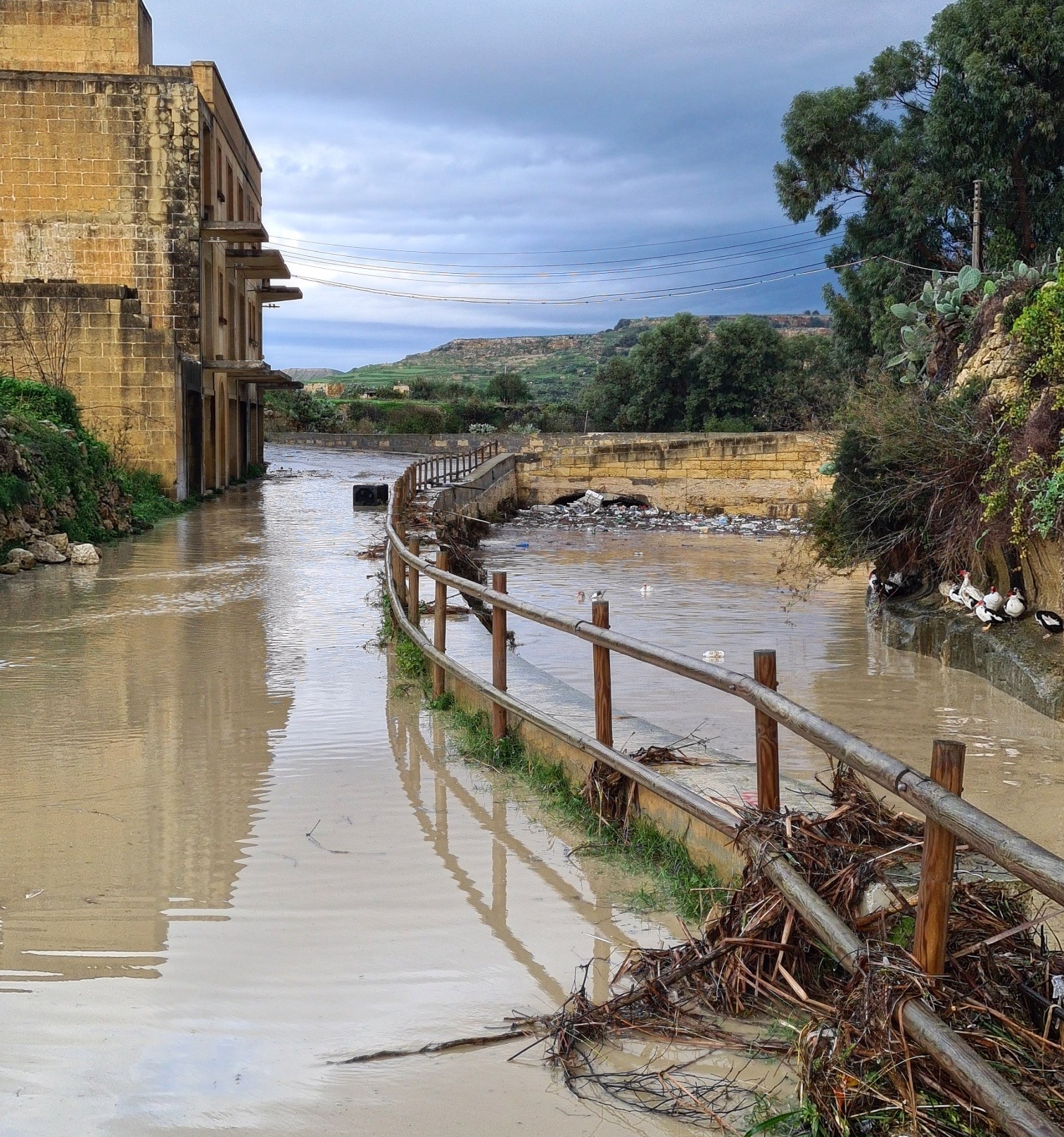
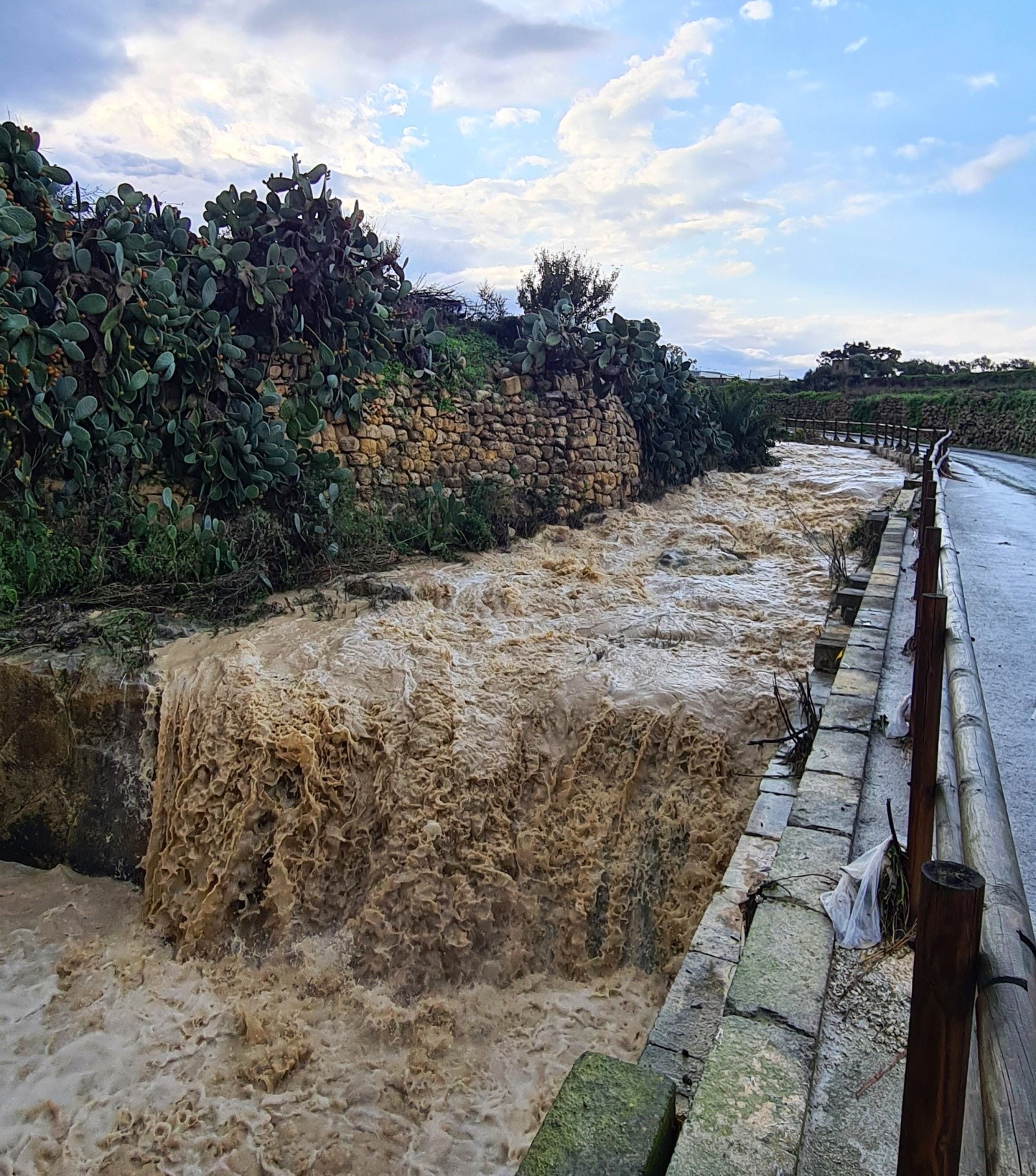
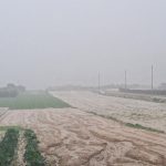
A highly unstable cold front associated with an intense low pressure over northern Algeria traversed the central Mediterranean in the very early hours of Thursday 11th November. This produced heavy thunderstorms across the Maltese Islands. Gozo bore the brunt of the stormy weather. 115.3 mm of rain were measured in Għajnsielem, the hardest hit locality. Several other localities in Gozo measured around 100 mm of precipitation. That is just over a month’s worth of rainfall. This fell in a matter of just over an hour. The wind experienced a sudden shift to the West as soon as the thunderstorm made landfall. Gusts of up to 70 km/h were recorded by exposed weather stations around the Maltese Islands. Valley systems burst and roads flooded. There were collapsed rubble walls and downed power lines.
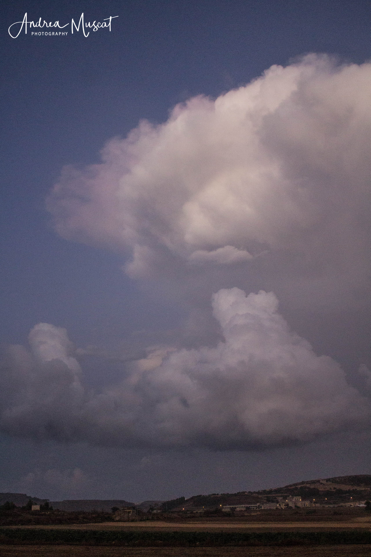
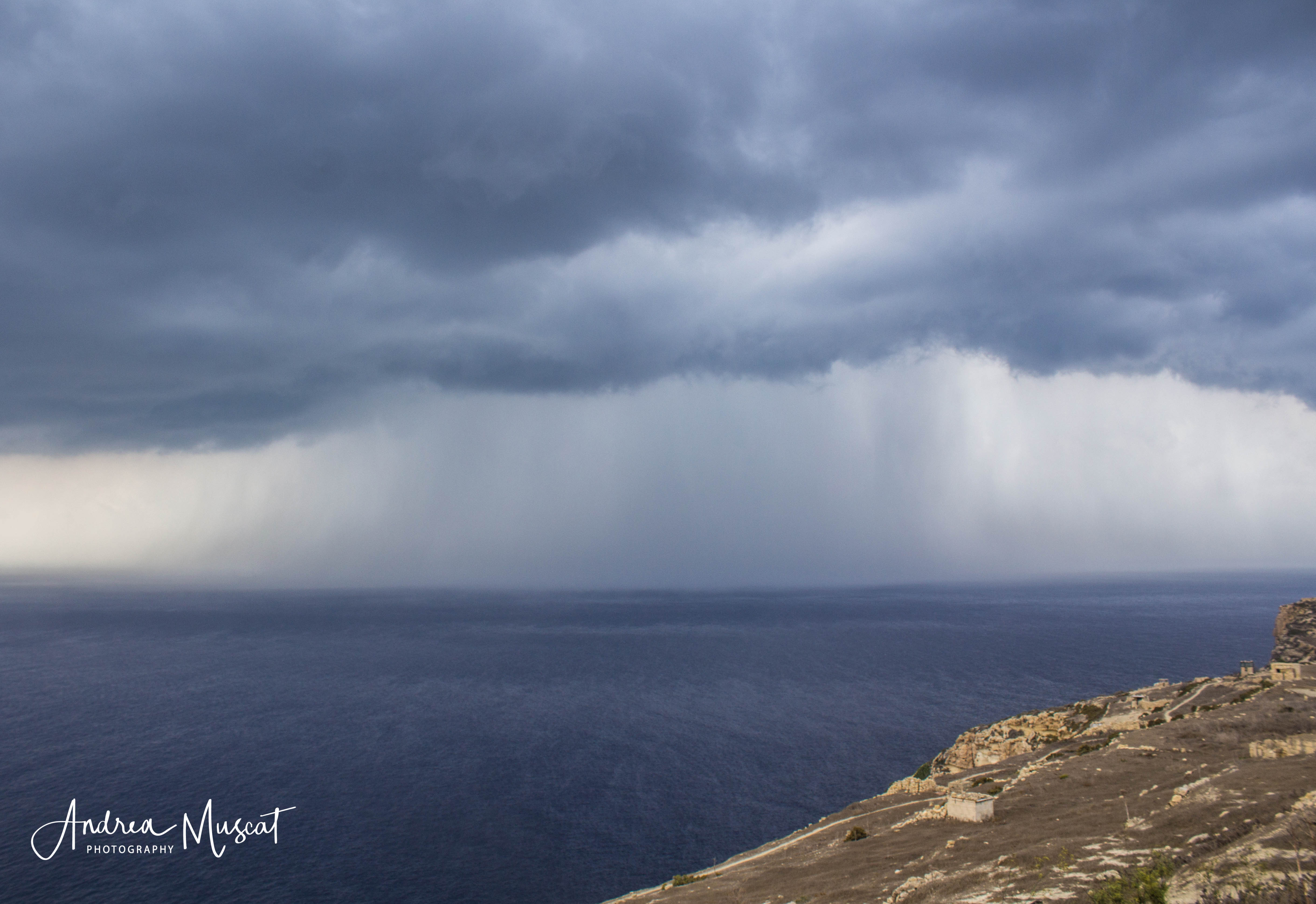
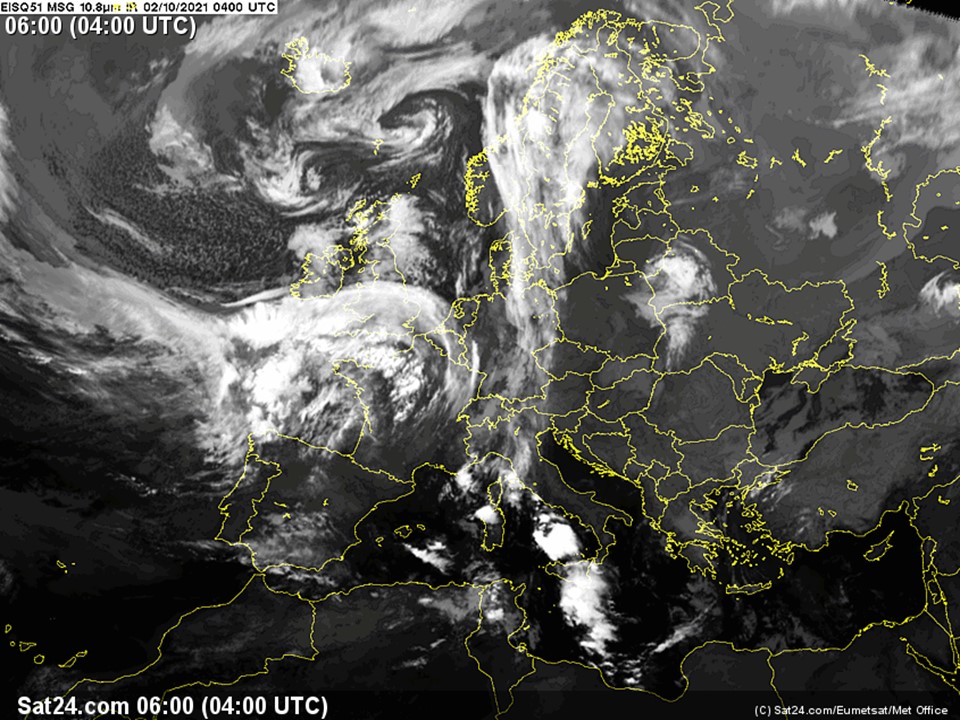
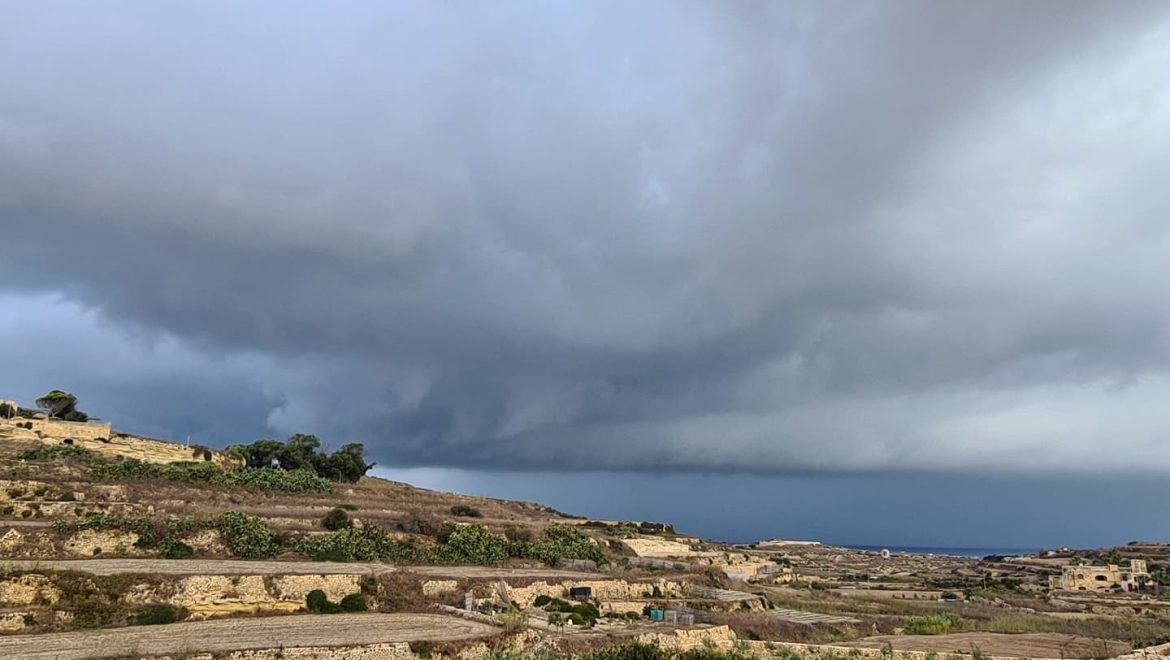
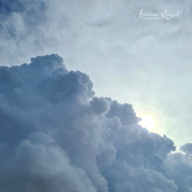
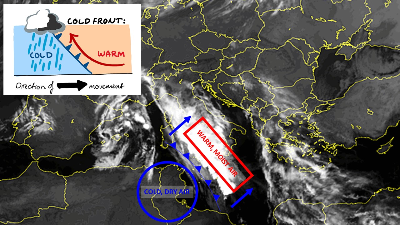
What is a cold front? A cold front develops when a mass of comparatively colder air moves into an area where warmer air is present. In our case, a southerly wind had been advecting very warm air across the central Mediterranean for days. This warm air was constantly picking up moisture from the very warm sea locally. This caused the atmosphere above our region to become saturated. This was evident from the episodes of misty weather that had characterized our meteorological scene for days on end. An outbreak of colder air that had penetrated the Mediterranean earlier in the week reached the Maltese Islands late on Wednesday 10th November. Drier, colder air pushes the warmer, moister air upwards. This forces the rising air to cool rapidly. As the moisture-laden air cools, the water vapor within condenses, forming rain-bearing clouds. The greater the contrast between the two, the more intense the rain-bearing clouds that form are. The chart below is a simplified representation of what happens at a cold front.
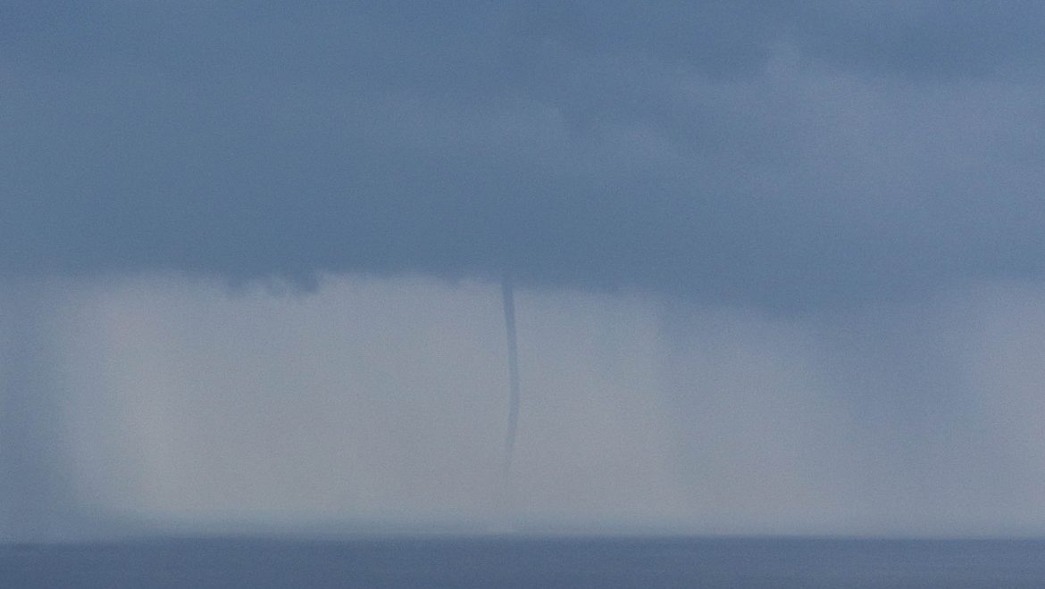
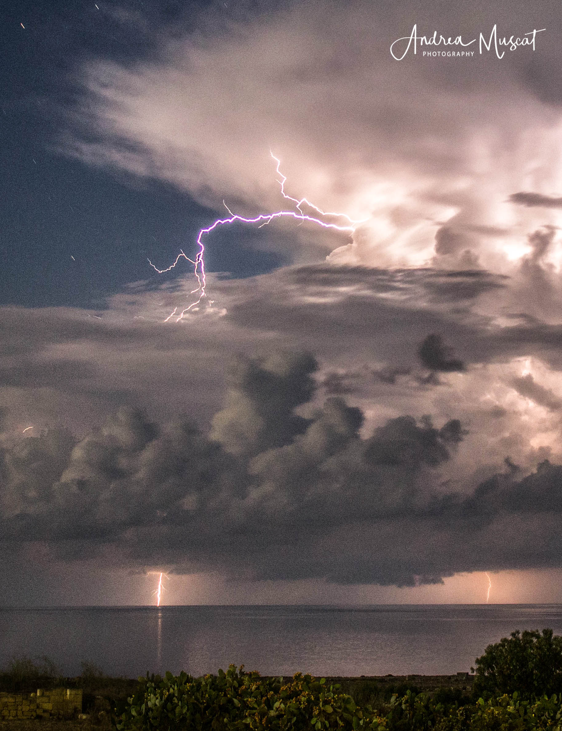
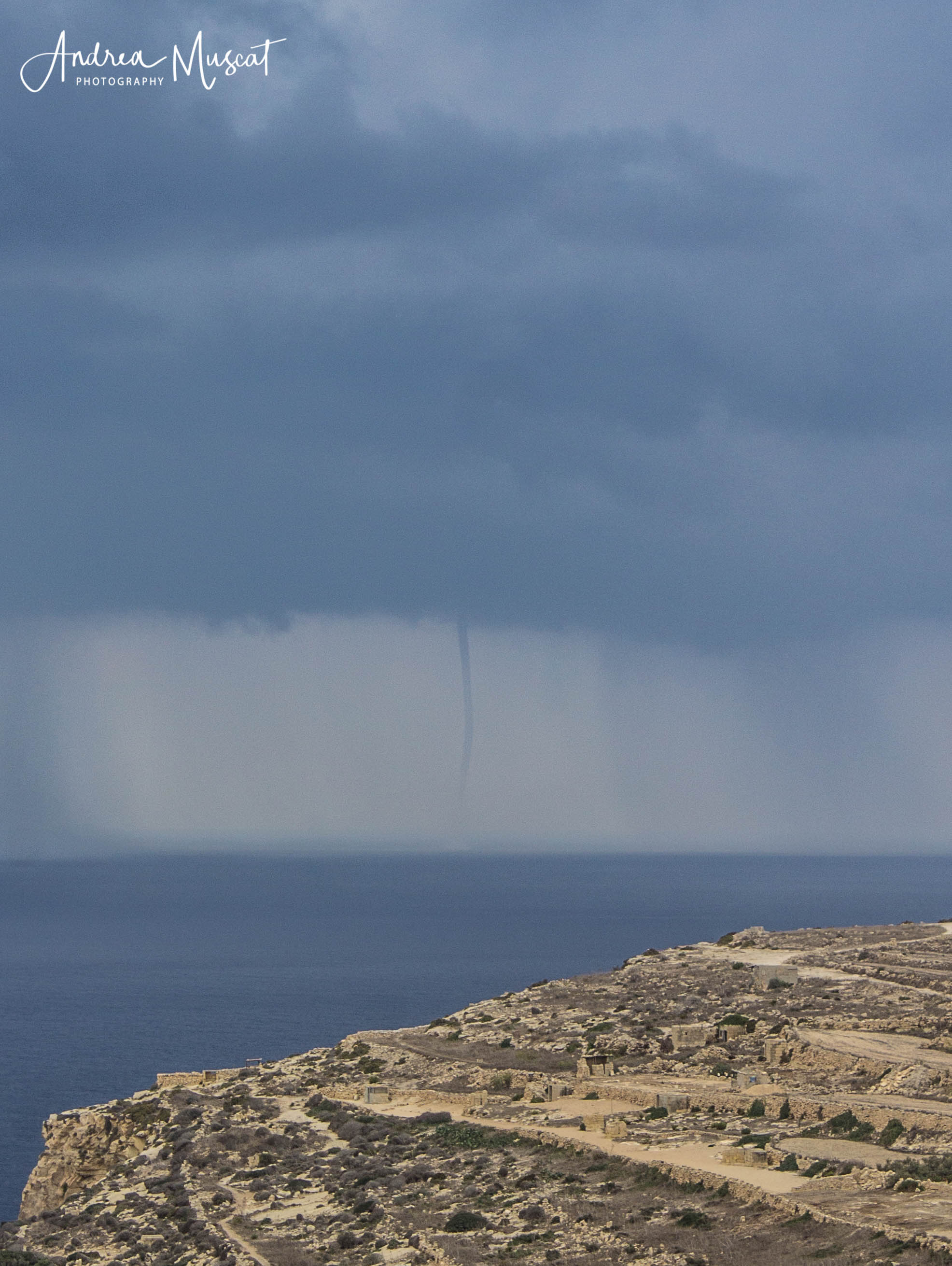
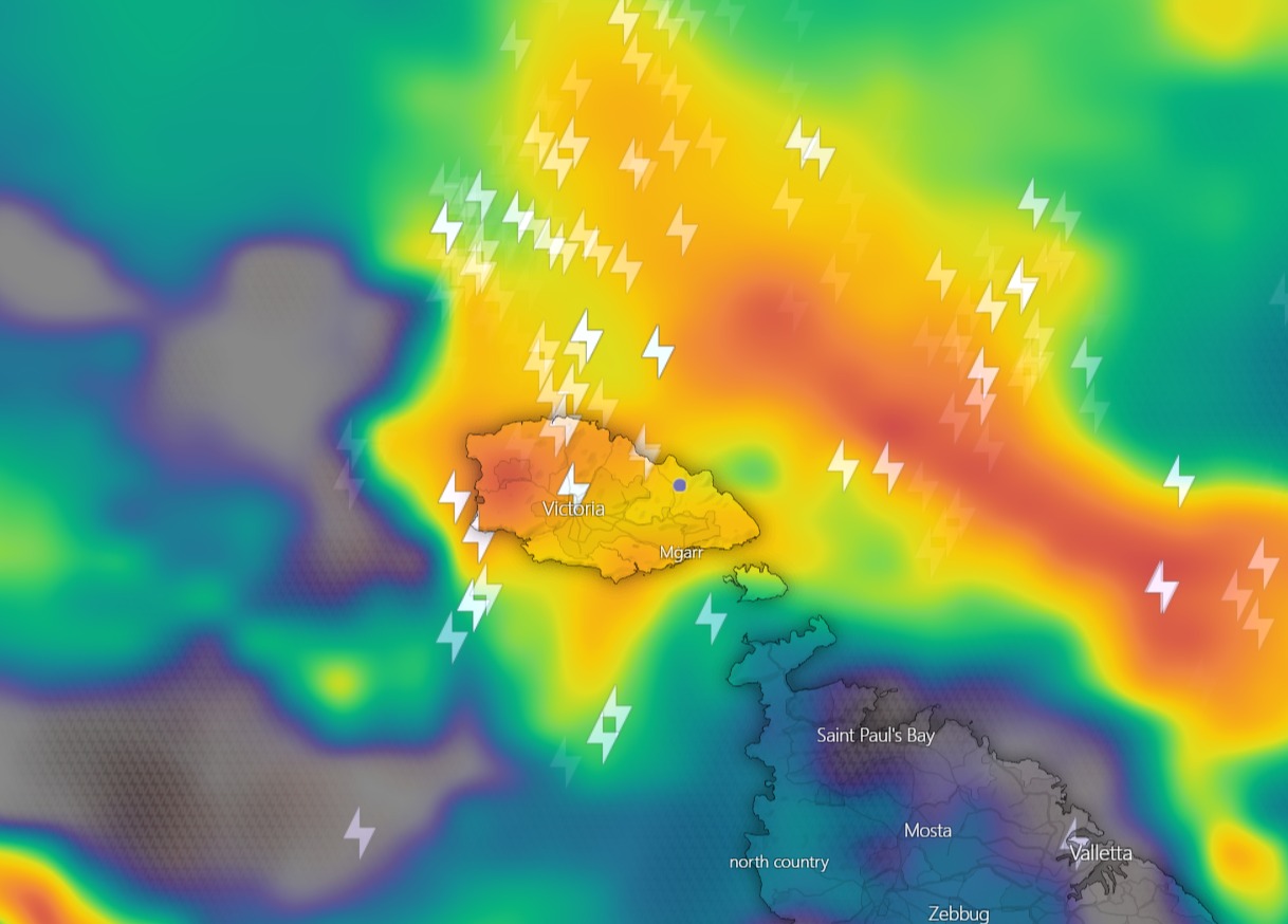
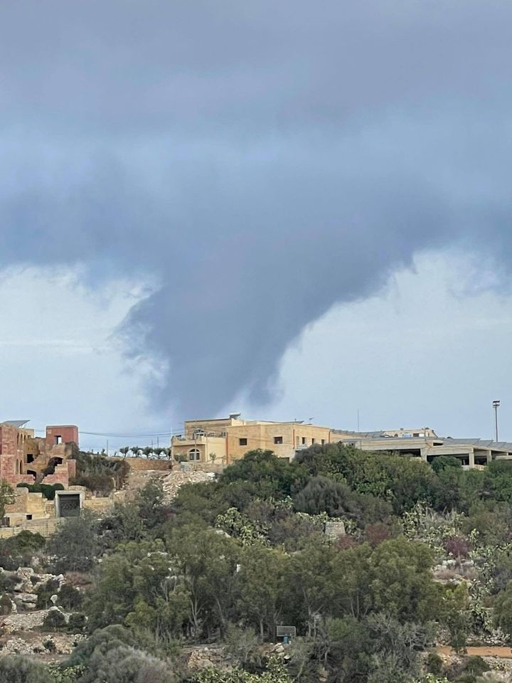
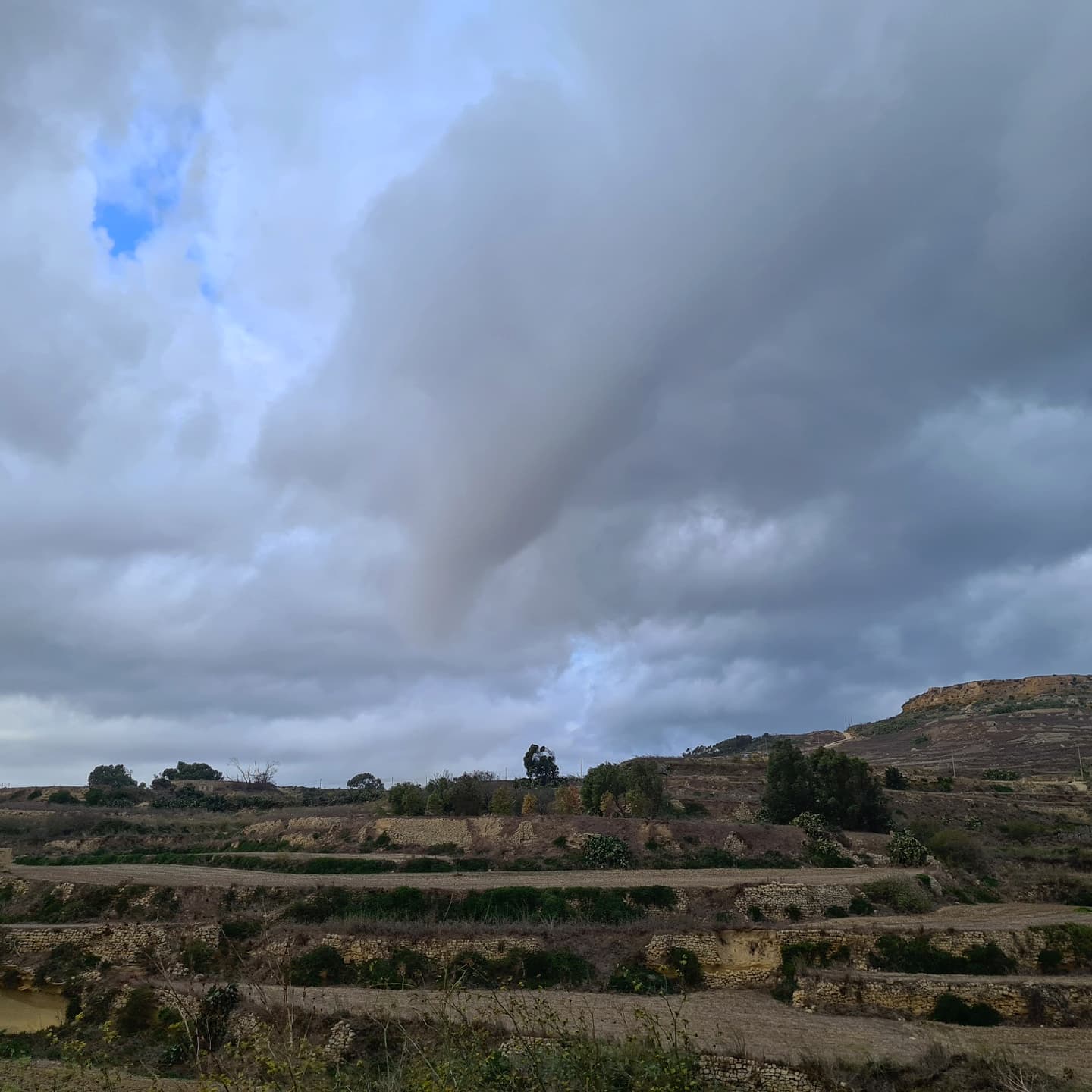
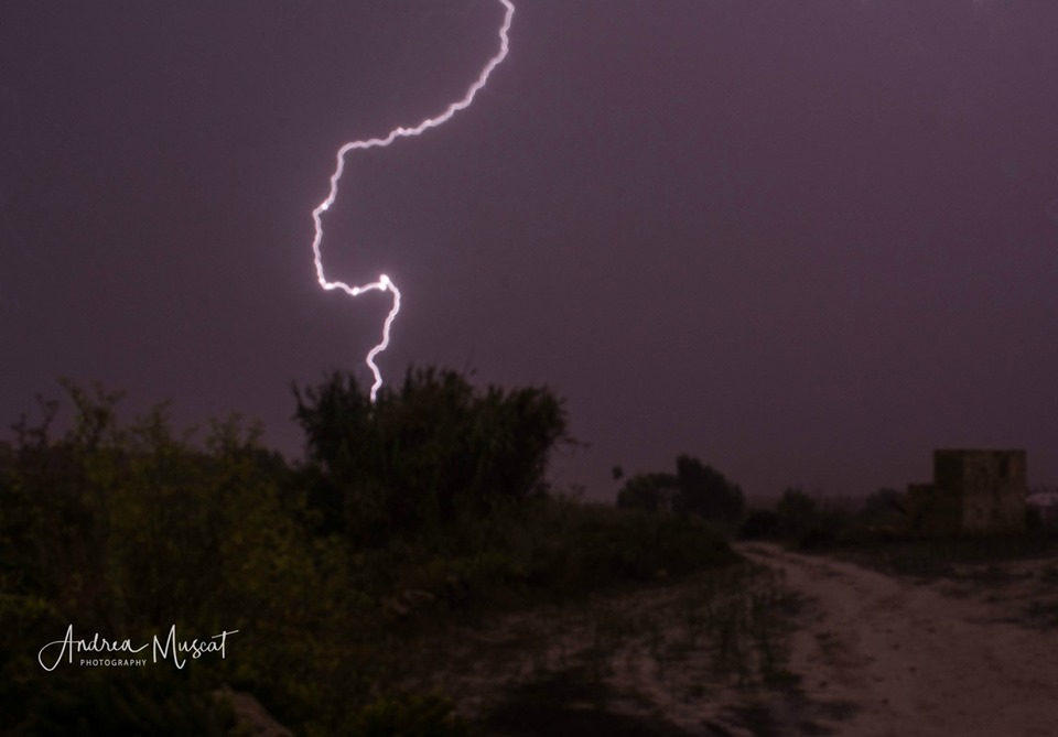
What type of thunderstorm was it? There are four main types of thunderstorms: single-cell, multi-cell, squall line and supercell. Which type forms is dependent on atmospheric conditions, namely instability and wind shear (wind conditions at different layers of the atmosphere), at the time. In our case, we experienced a squall line. A squall is defined as an elongated and narrow line of thunderstorms that form along a cold front. A squall line is typically with a brief but extremely intense episode of torrential precipitation, hail, incessant lightning and damaging wind gusts. When wind in the upper levels of atmosphere is relatively weak, squall lines move more slowly, exacerbating their impact on affected areas. Since a squall line is comprised of multiple small cells of thunderstorms, it is difficult to predict which localities will be hit worst well in advance.
-

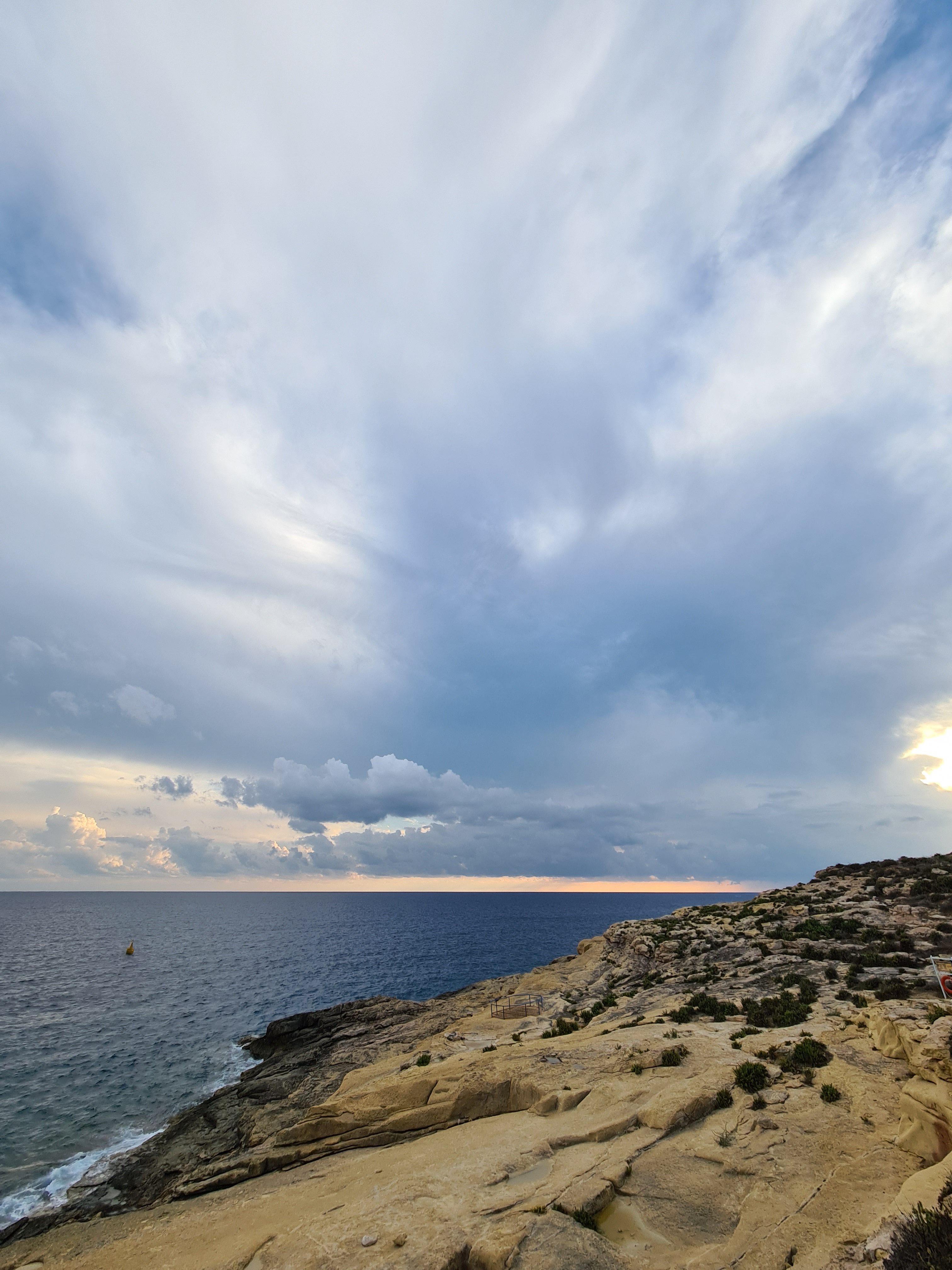
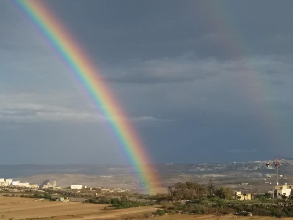
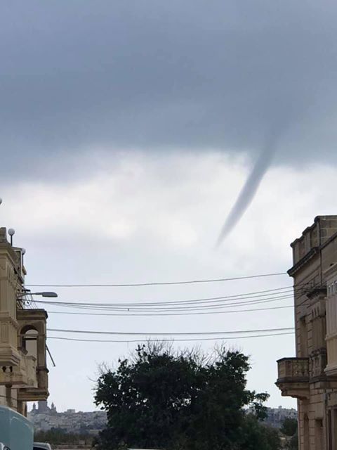
- Photo: Francelle Azzopardi
-
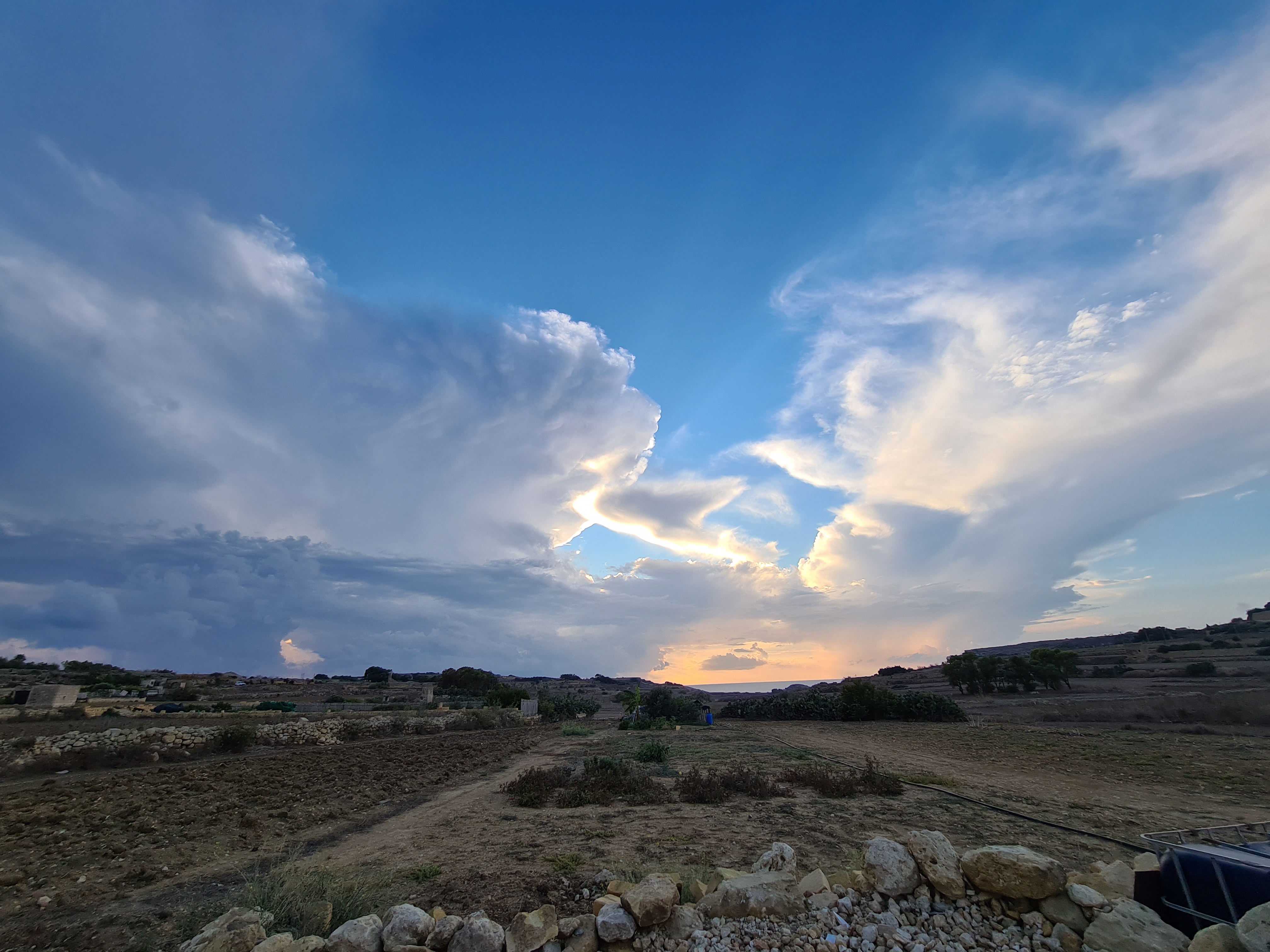
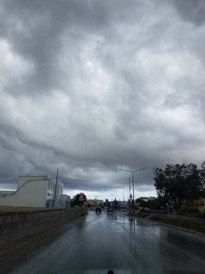
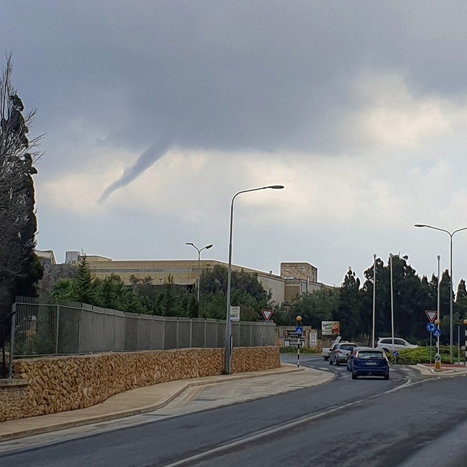
- Photo: Michael Vella
-

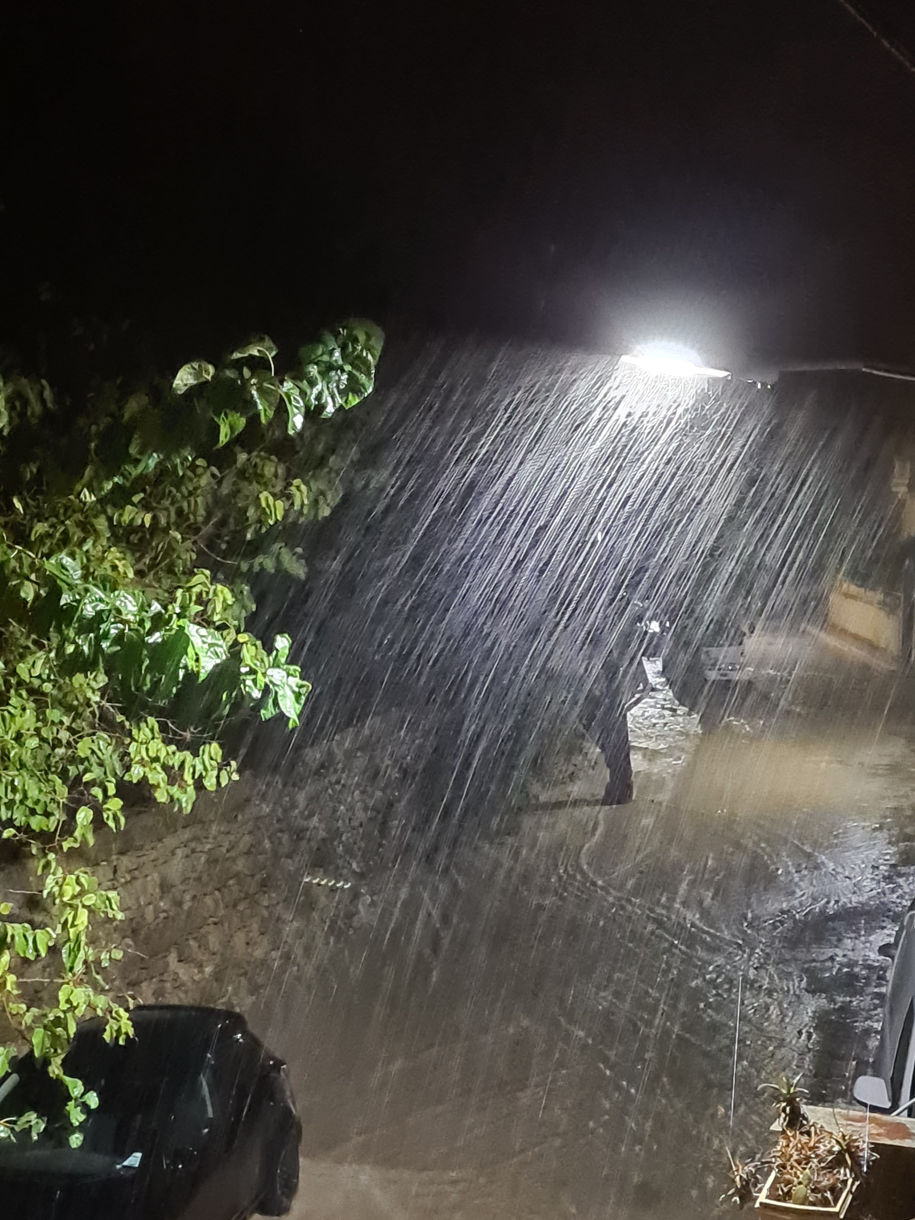
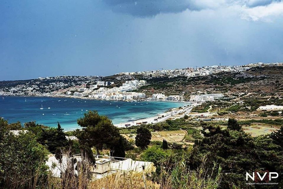
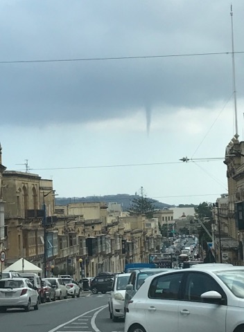
- Photo: Michael Vella
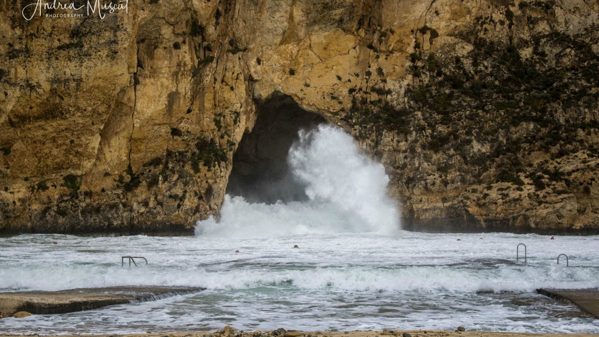
-
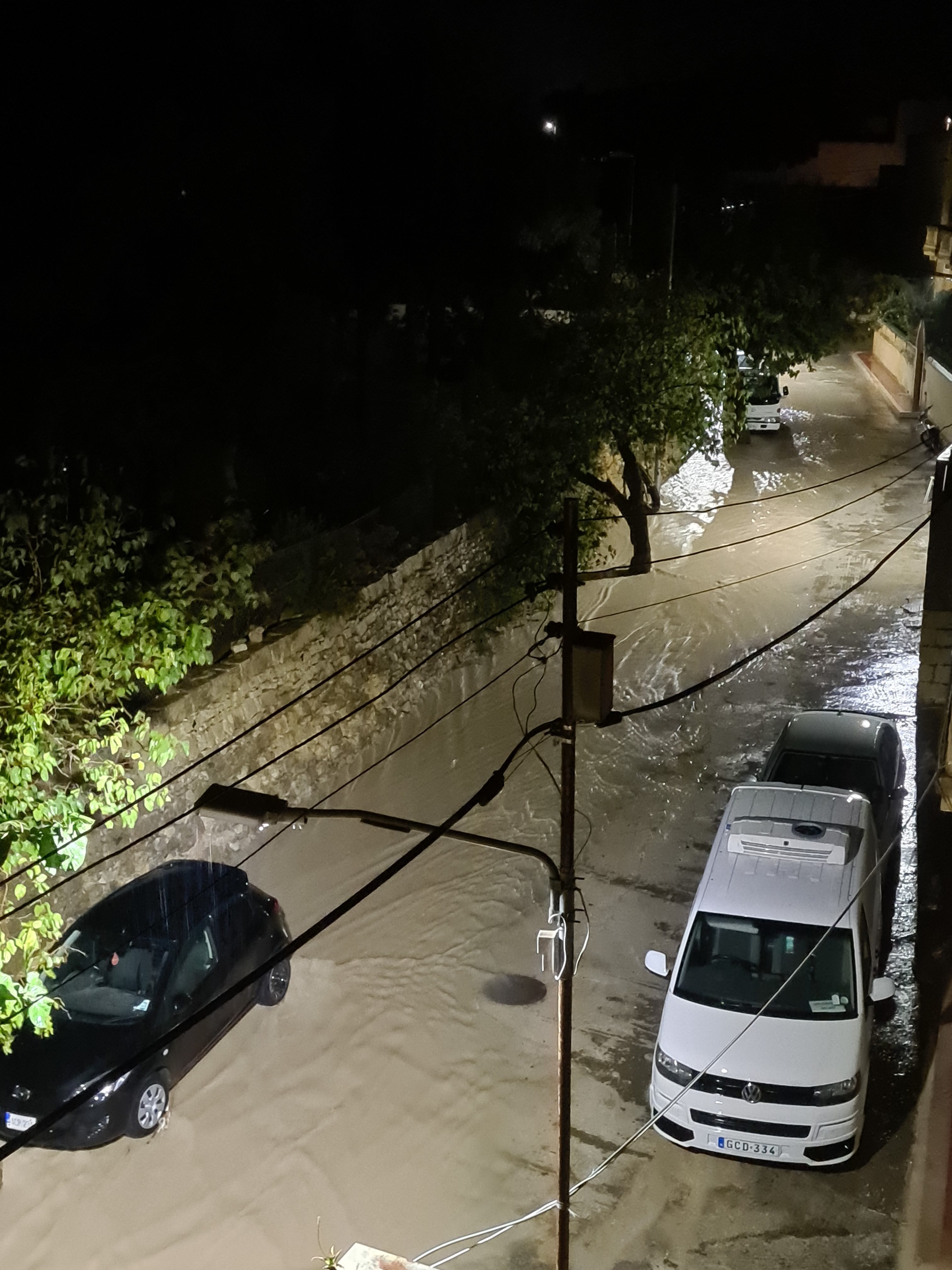
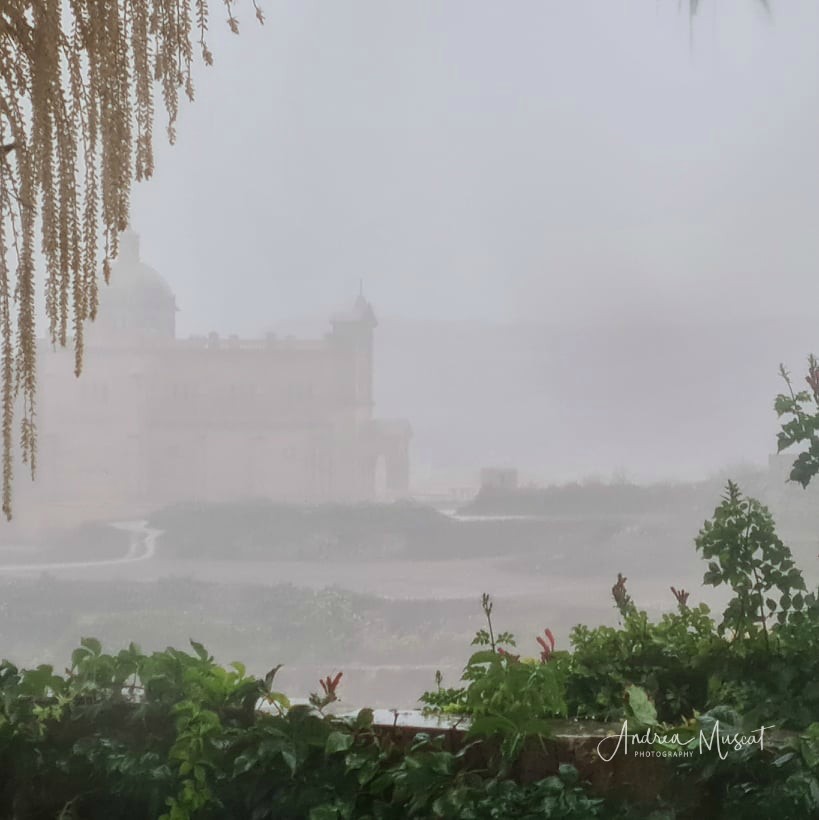
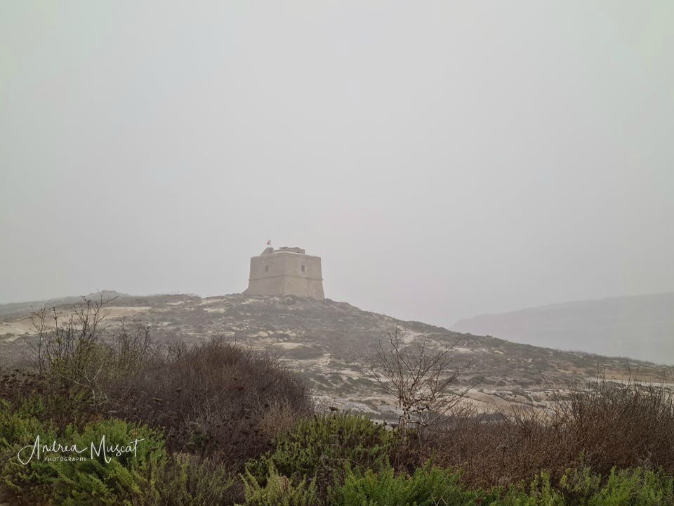
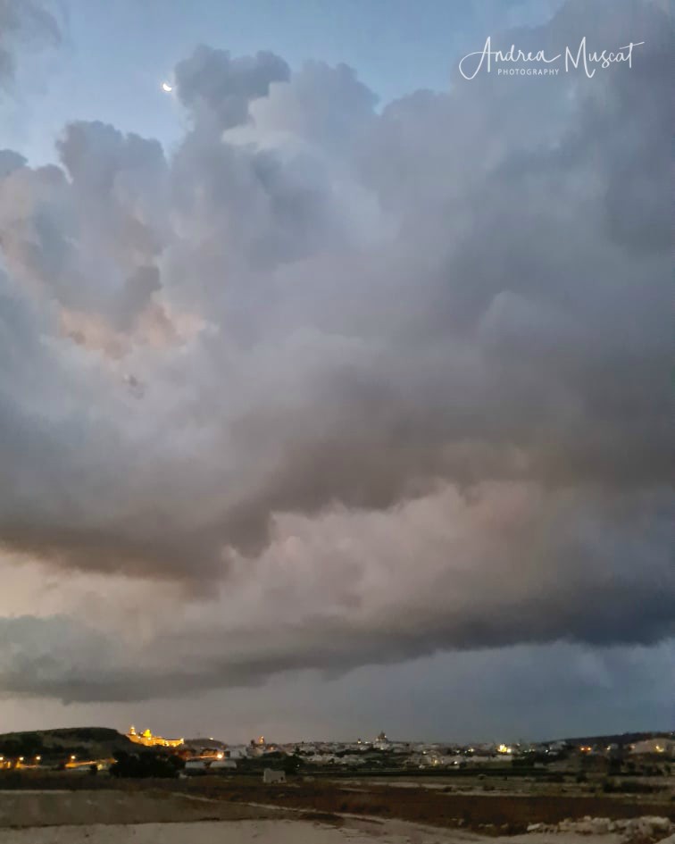
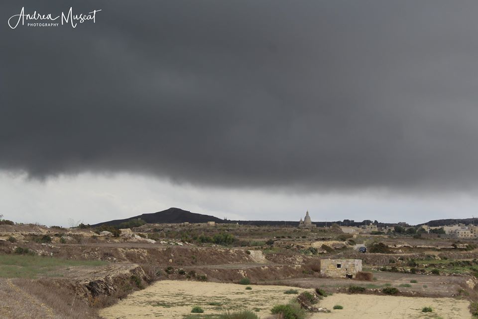
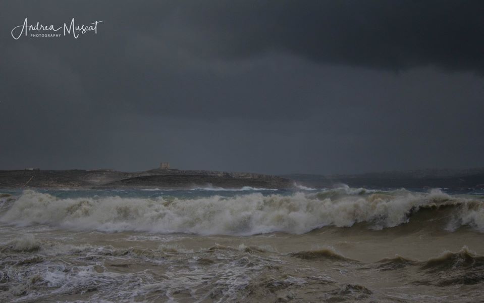
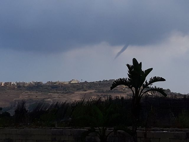
- Photo: Andrea Muscat
-

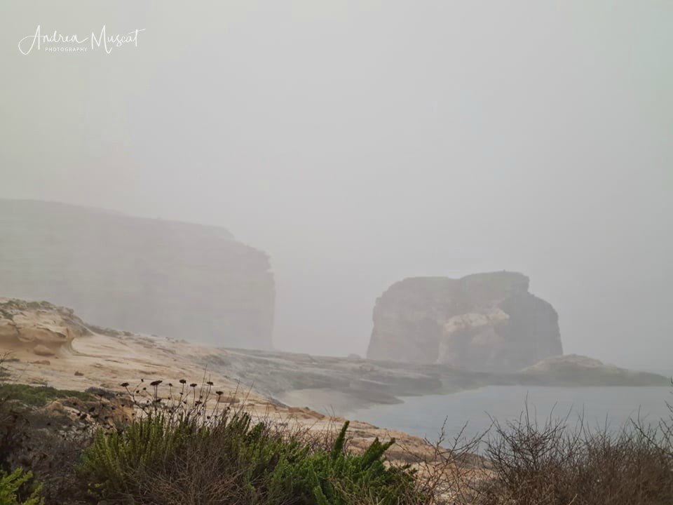
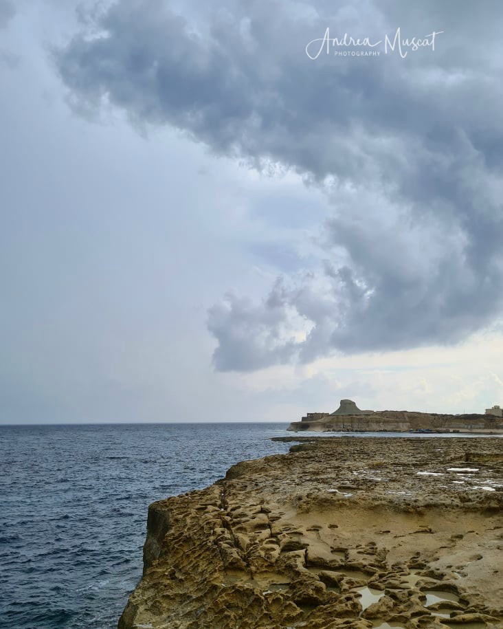
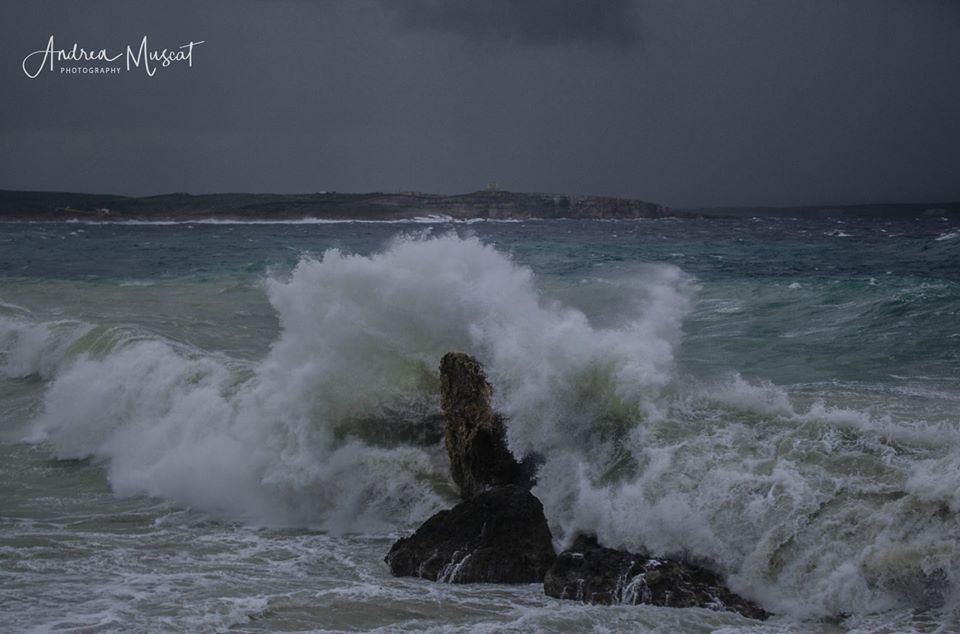
- Photo: Andrea Muscat
-

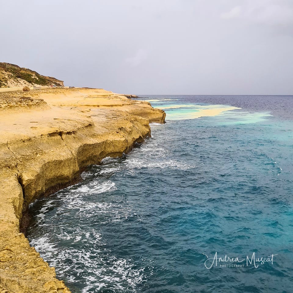
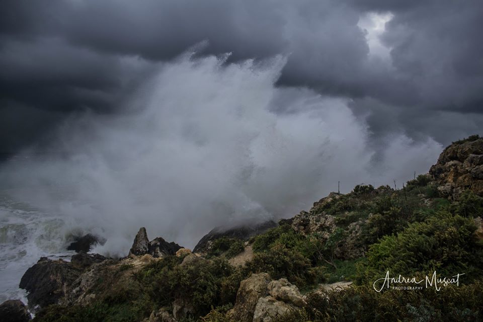
- Photo: Andrea Muscat
-
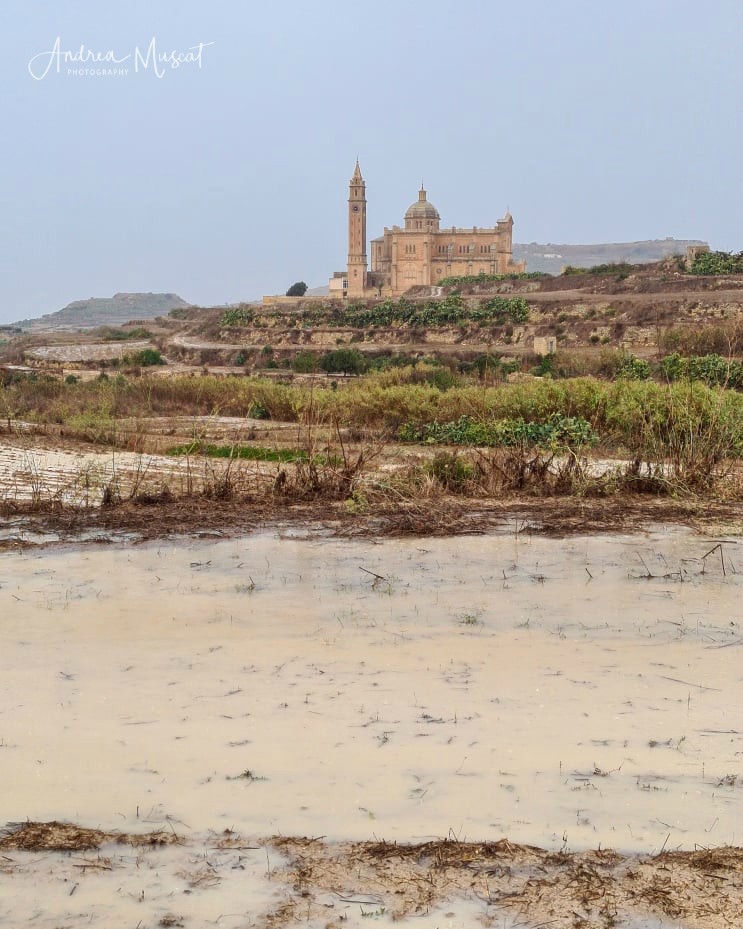
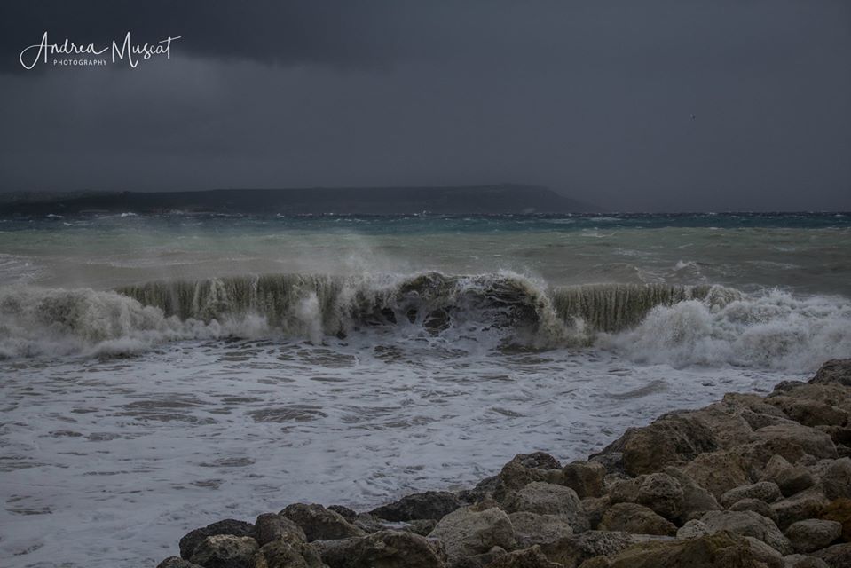
- Photo: Andrea Muscat
-
- Photo: Andrea Muscat
-

- Photo: Andrea Muscat
-

- Photo: Andrea Muscat

-
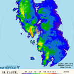
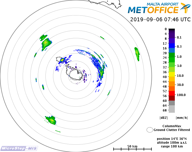
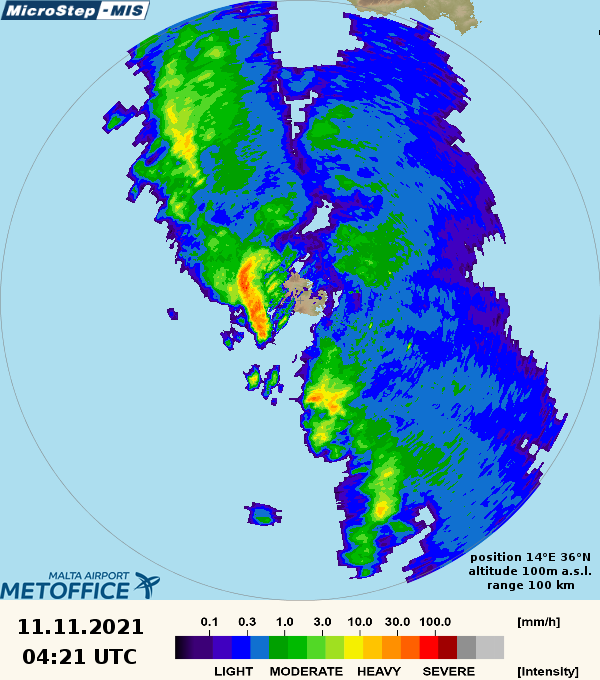
- Radar Image: Malta International Airport MetOffice
-
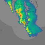
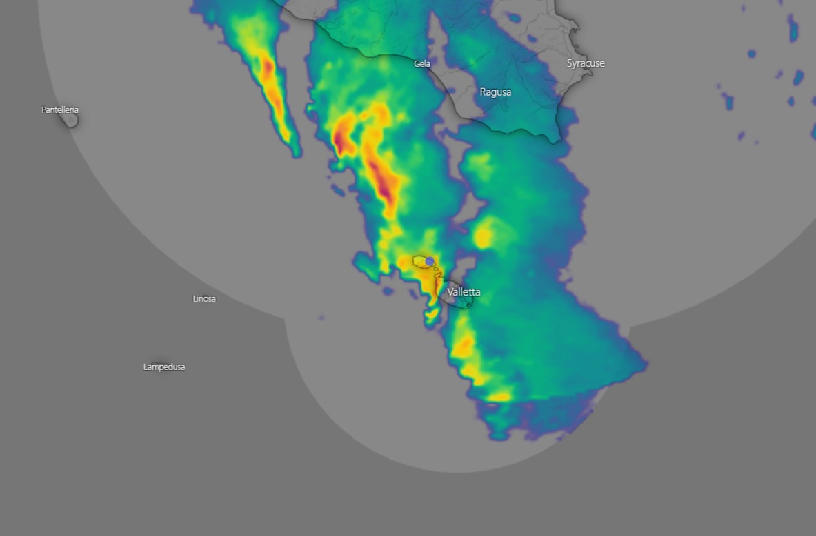
- Radar Image: Windy.com
-
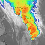
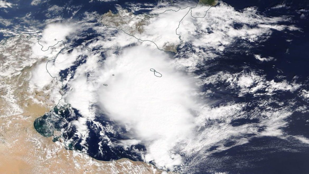
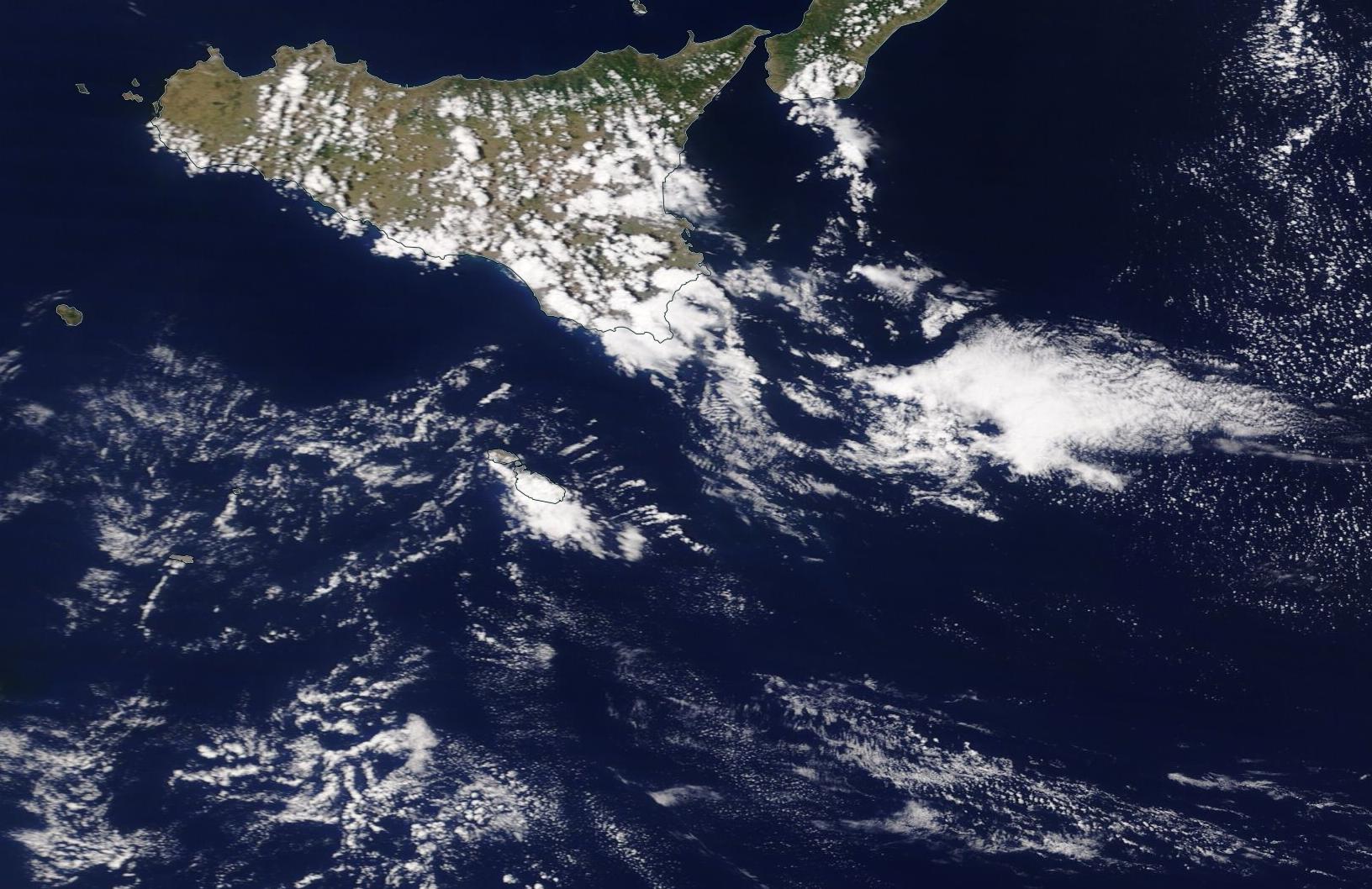
- Satellite Image: Windy.com
Video: Terence Farrugia
Video: Michael Vella