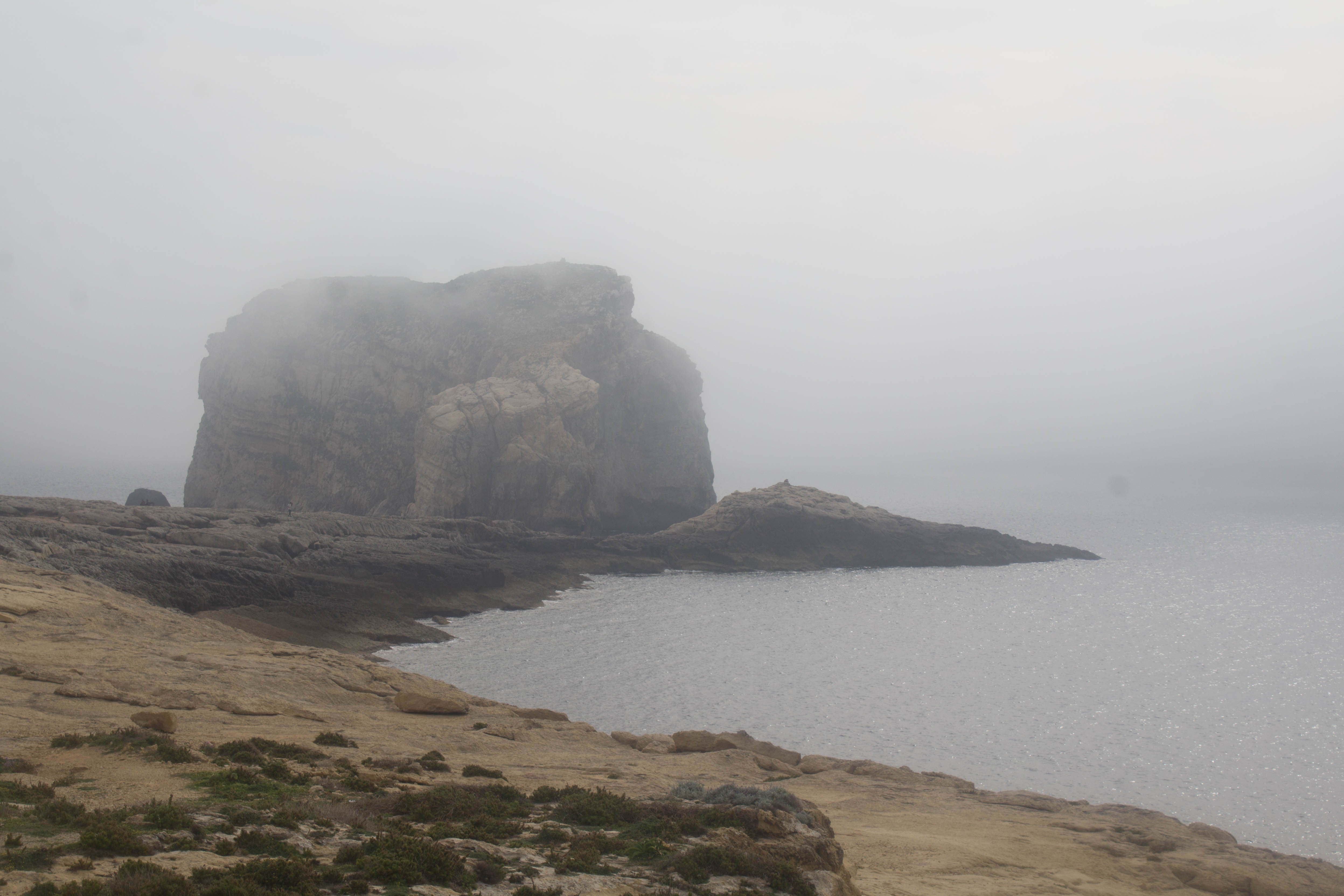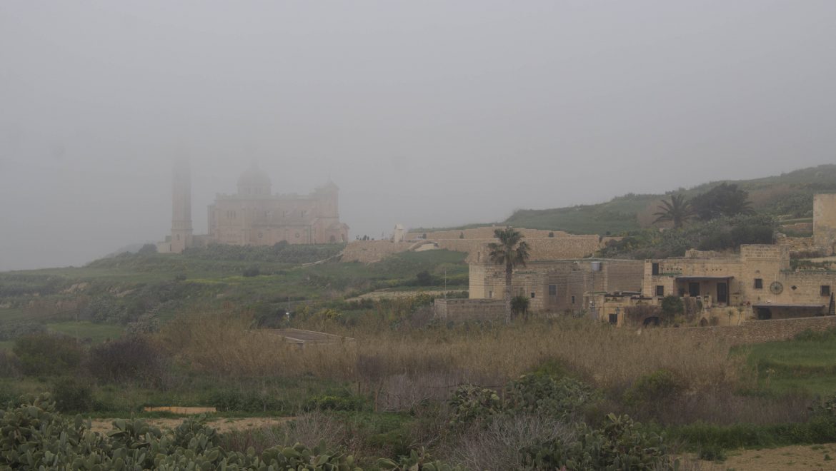
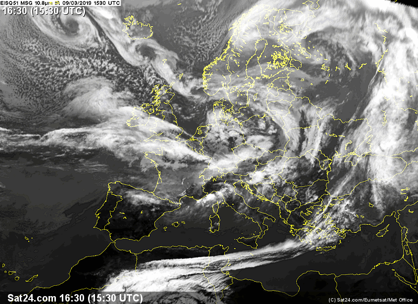
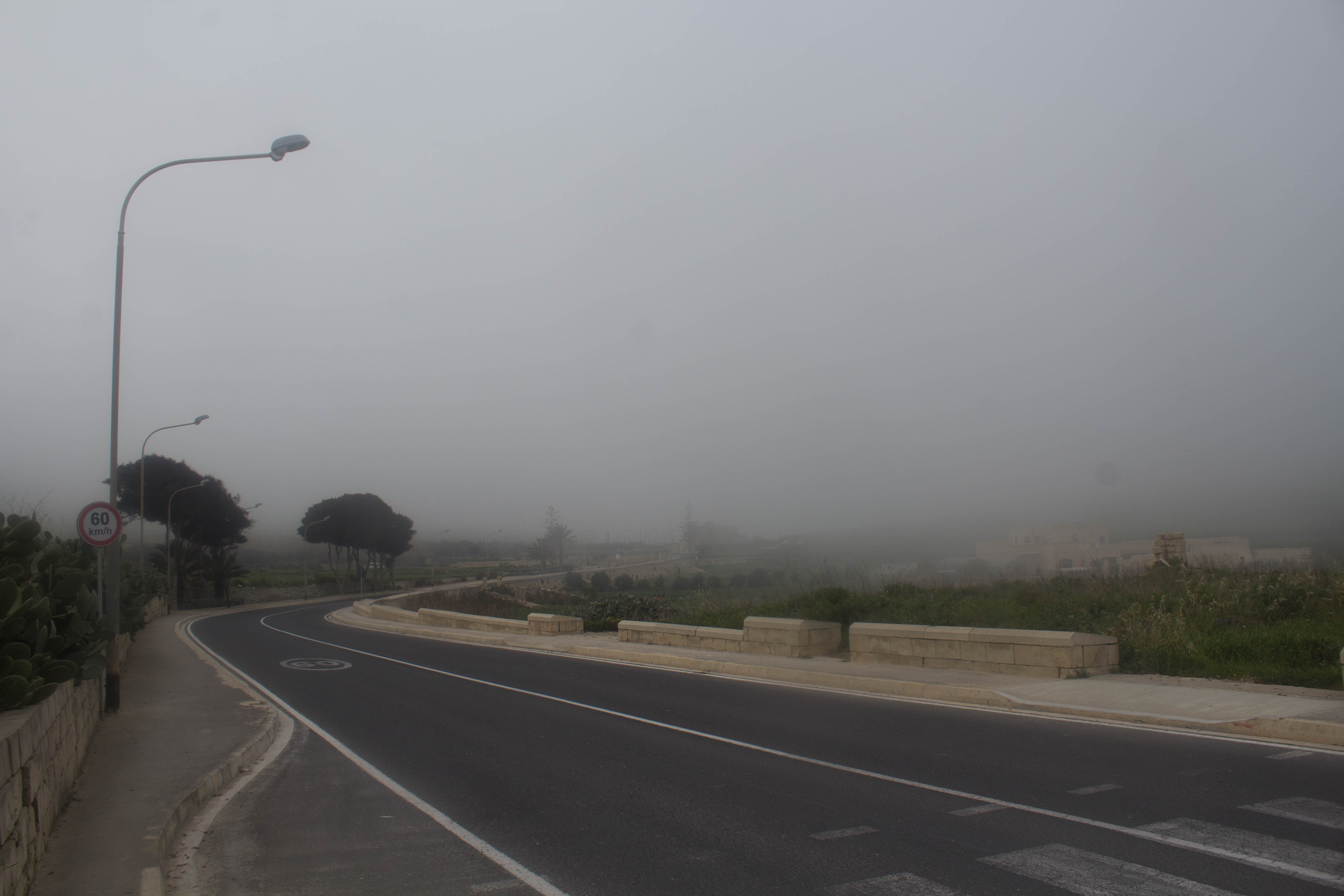
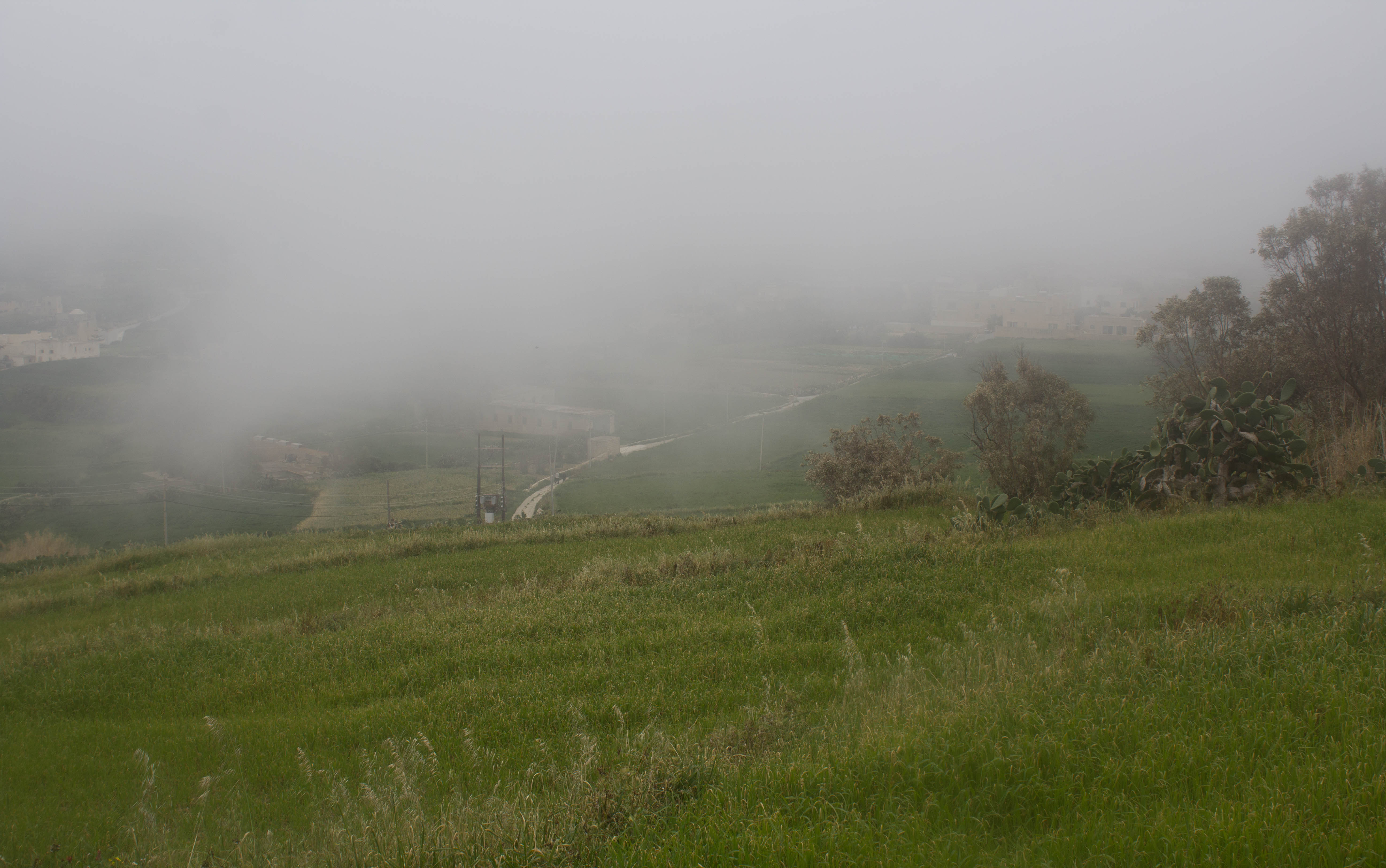
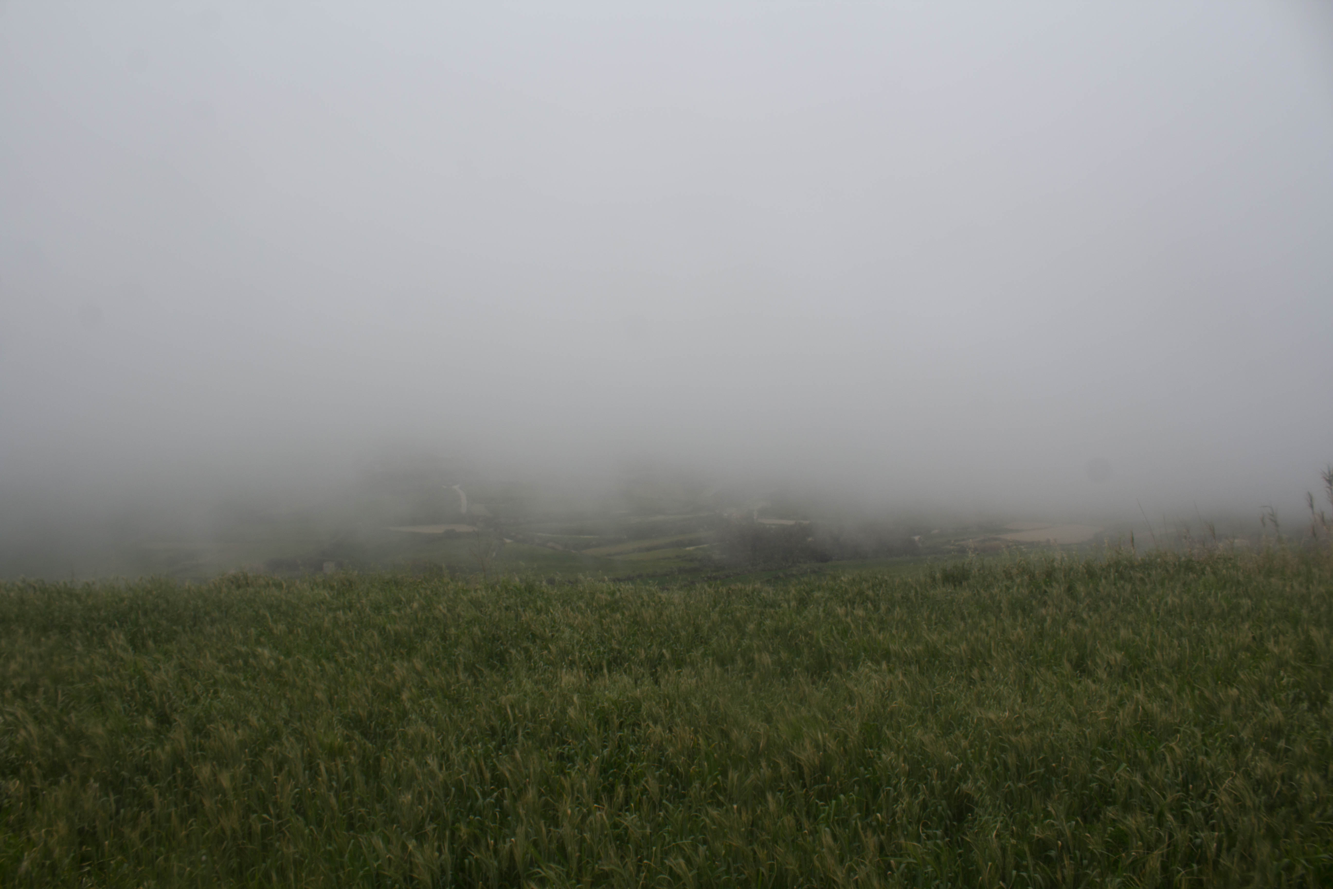
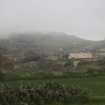
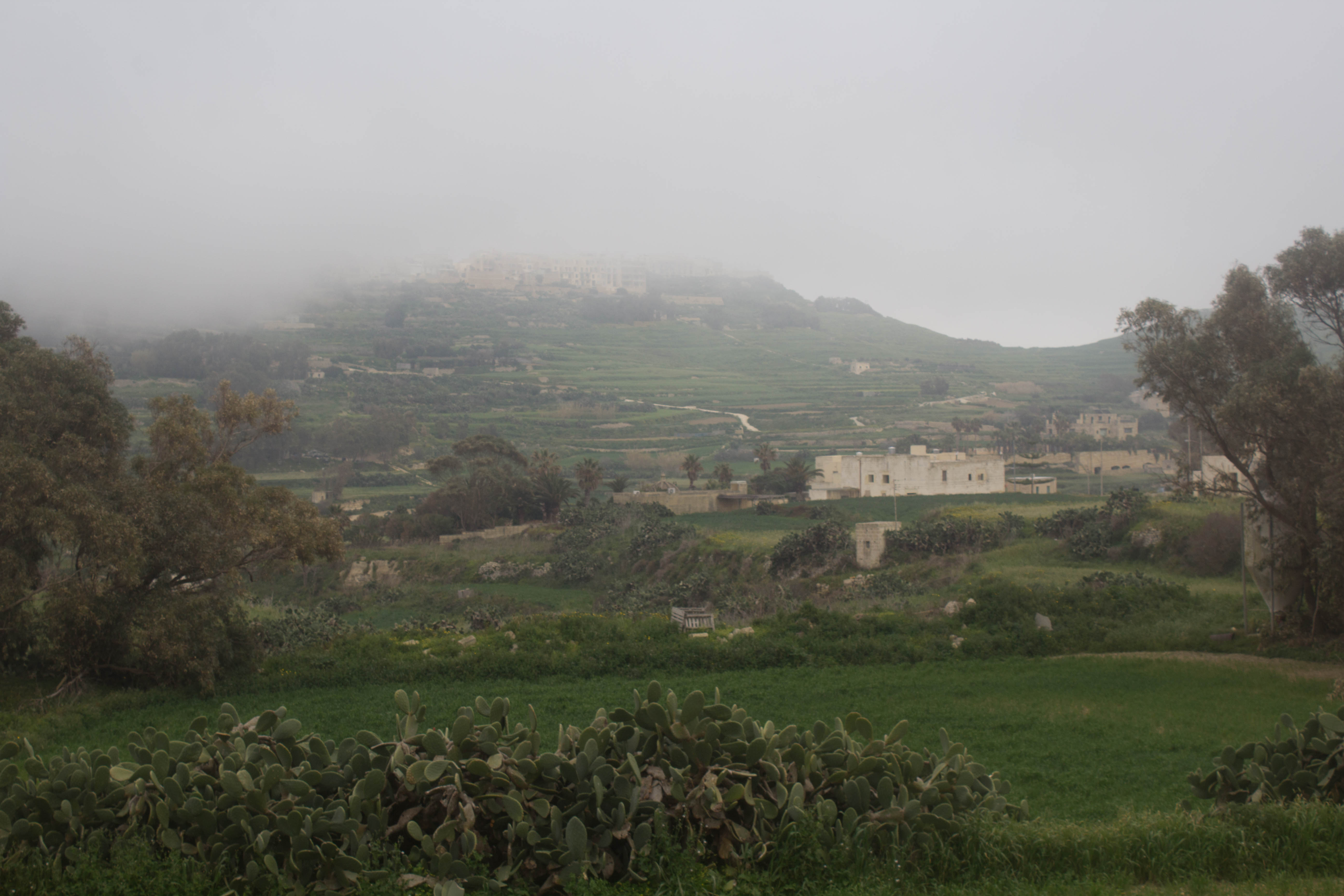
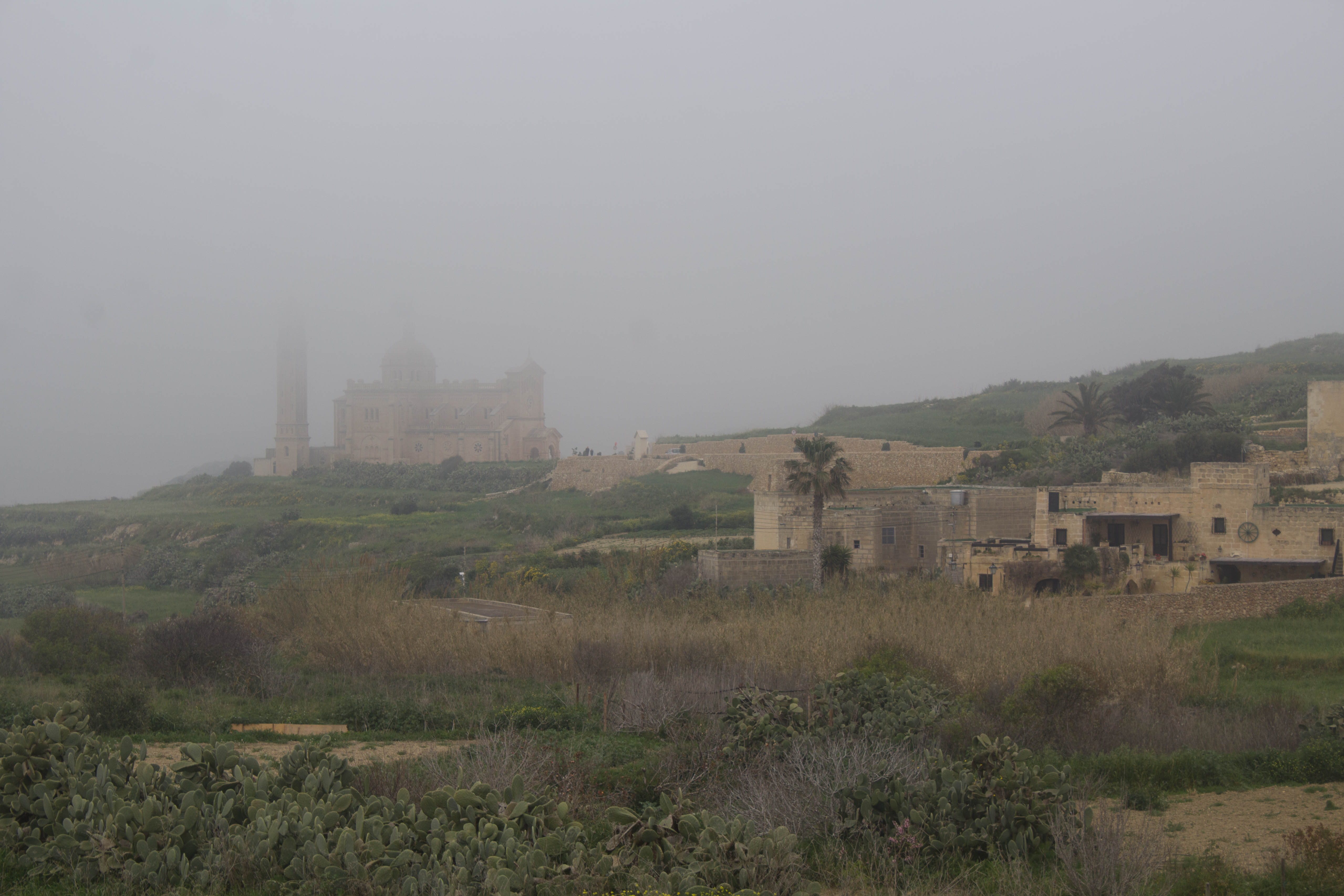
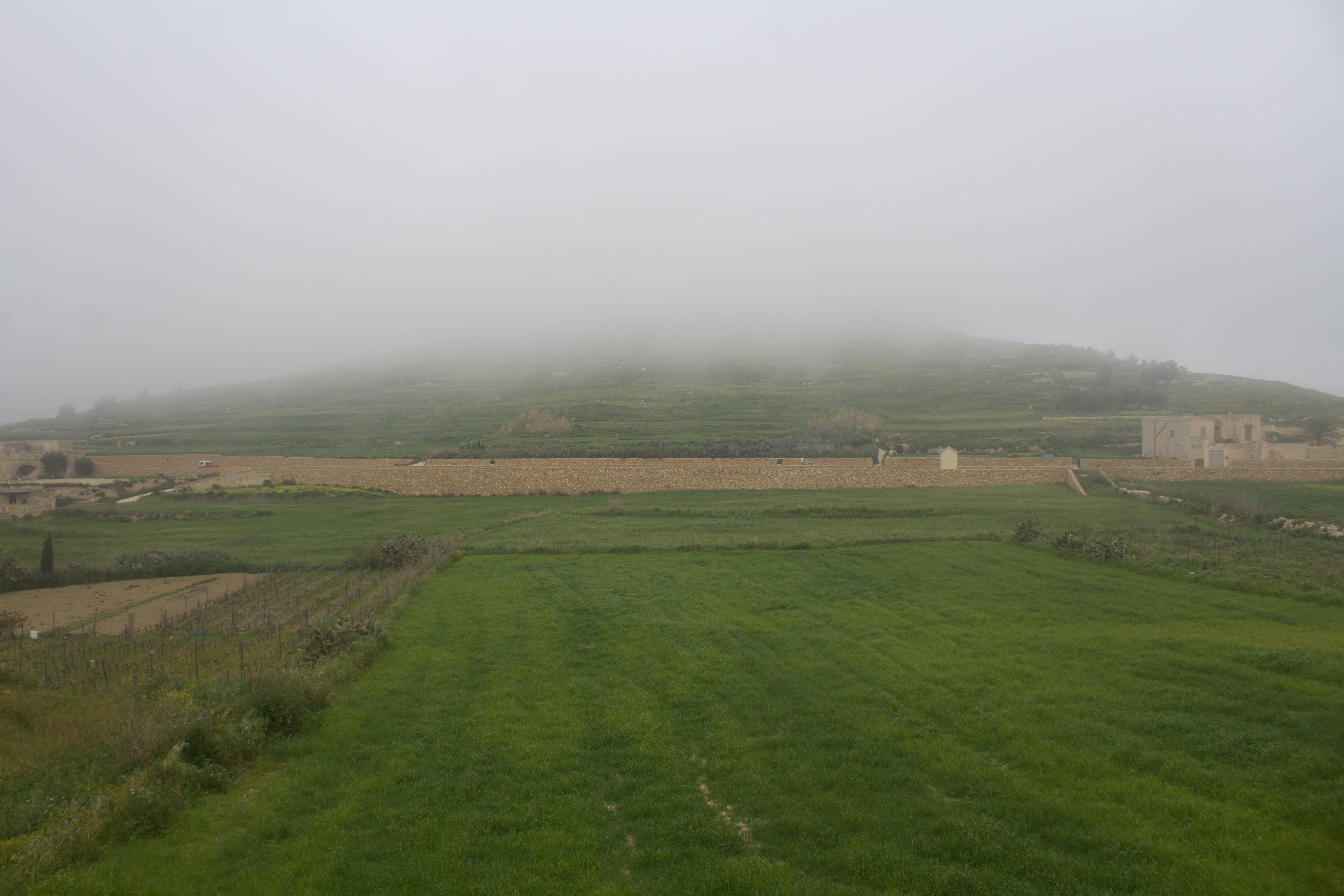
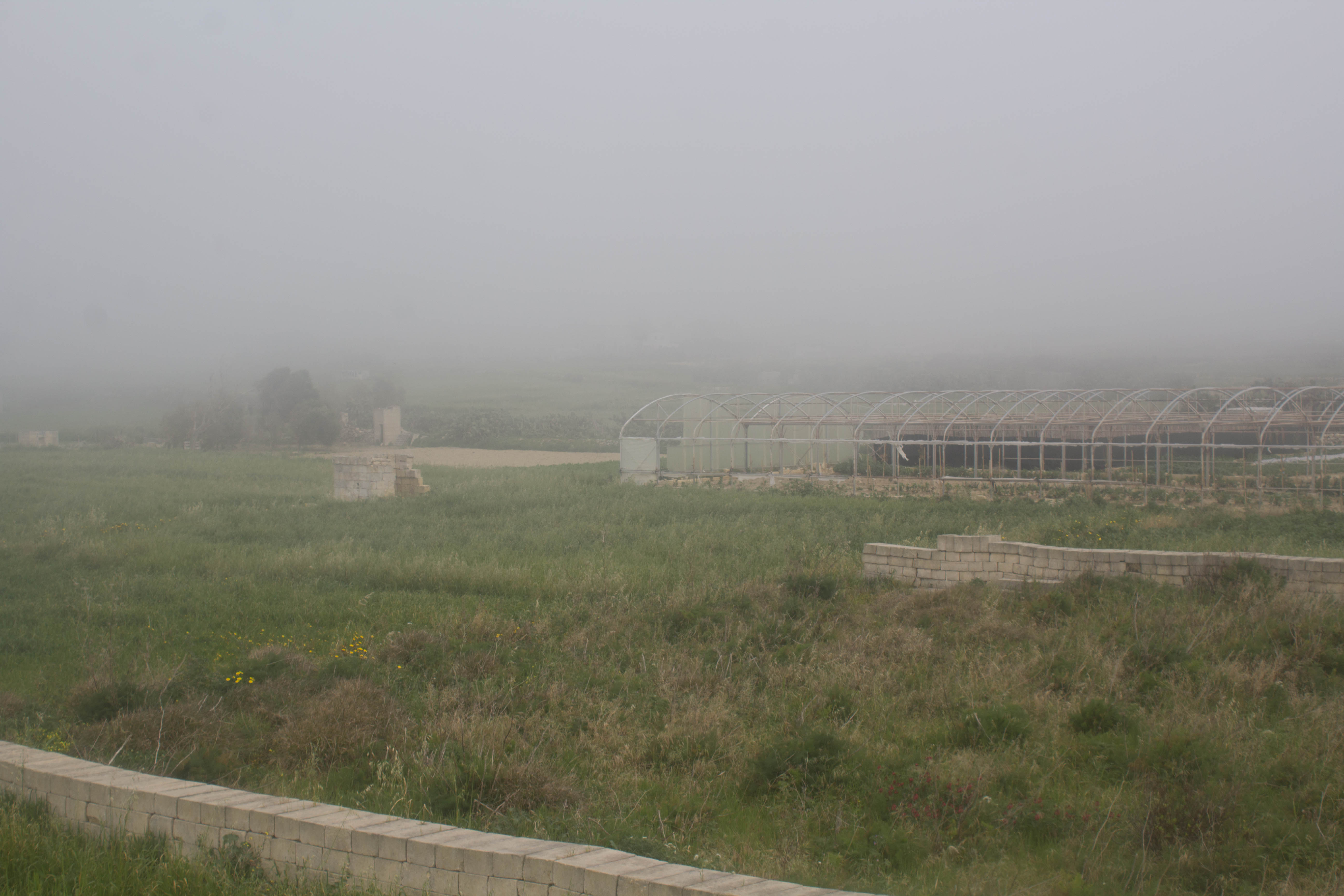
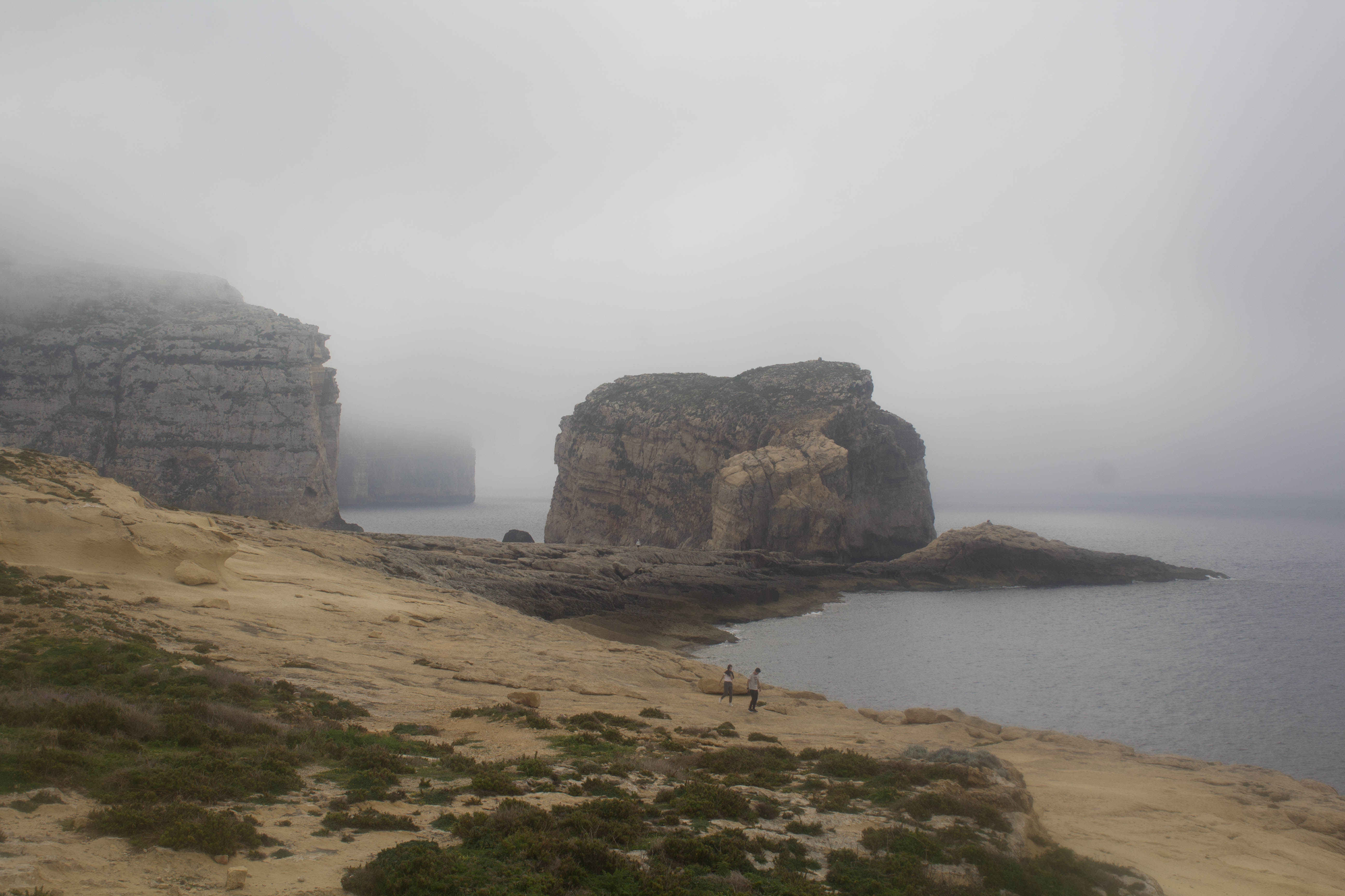
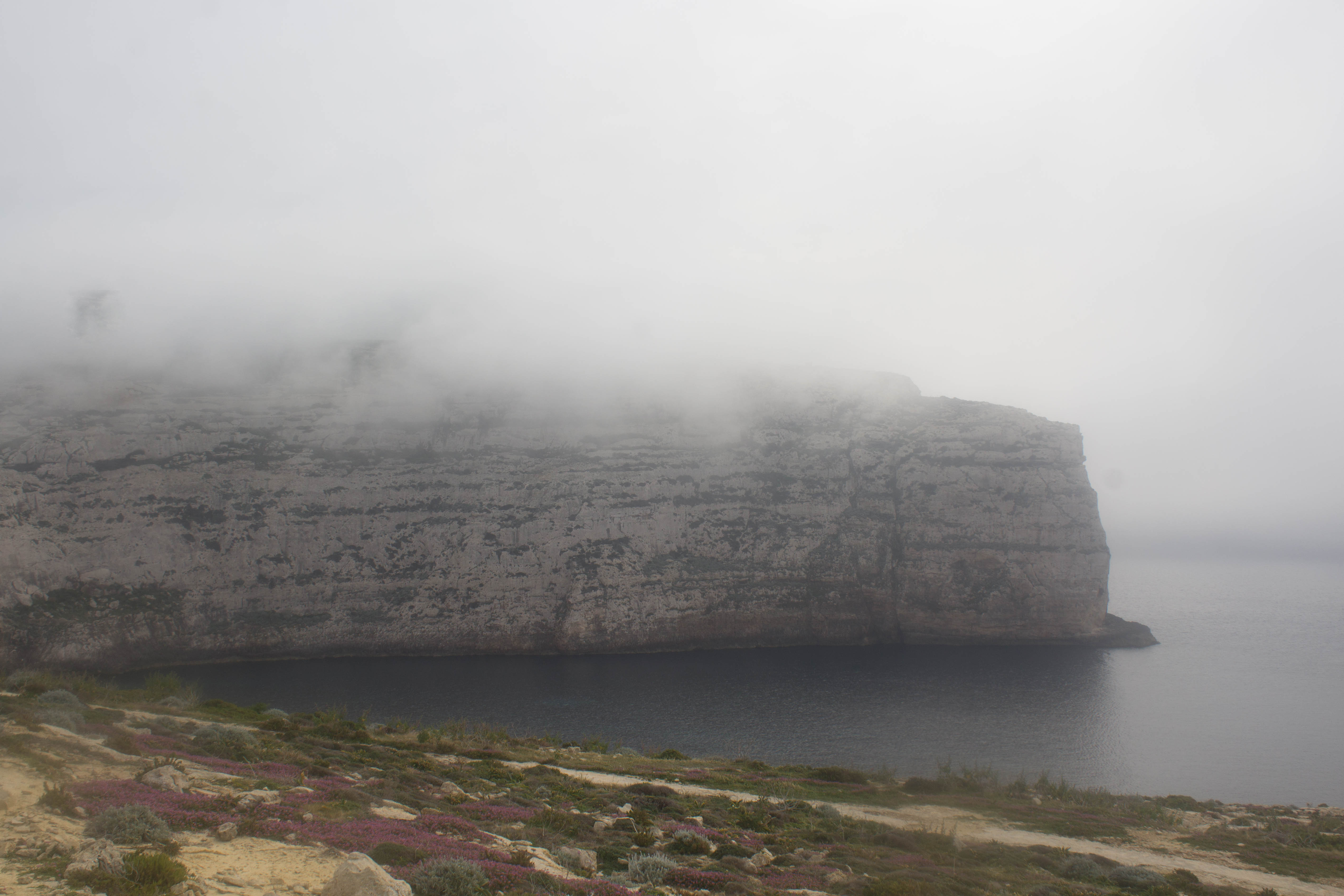
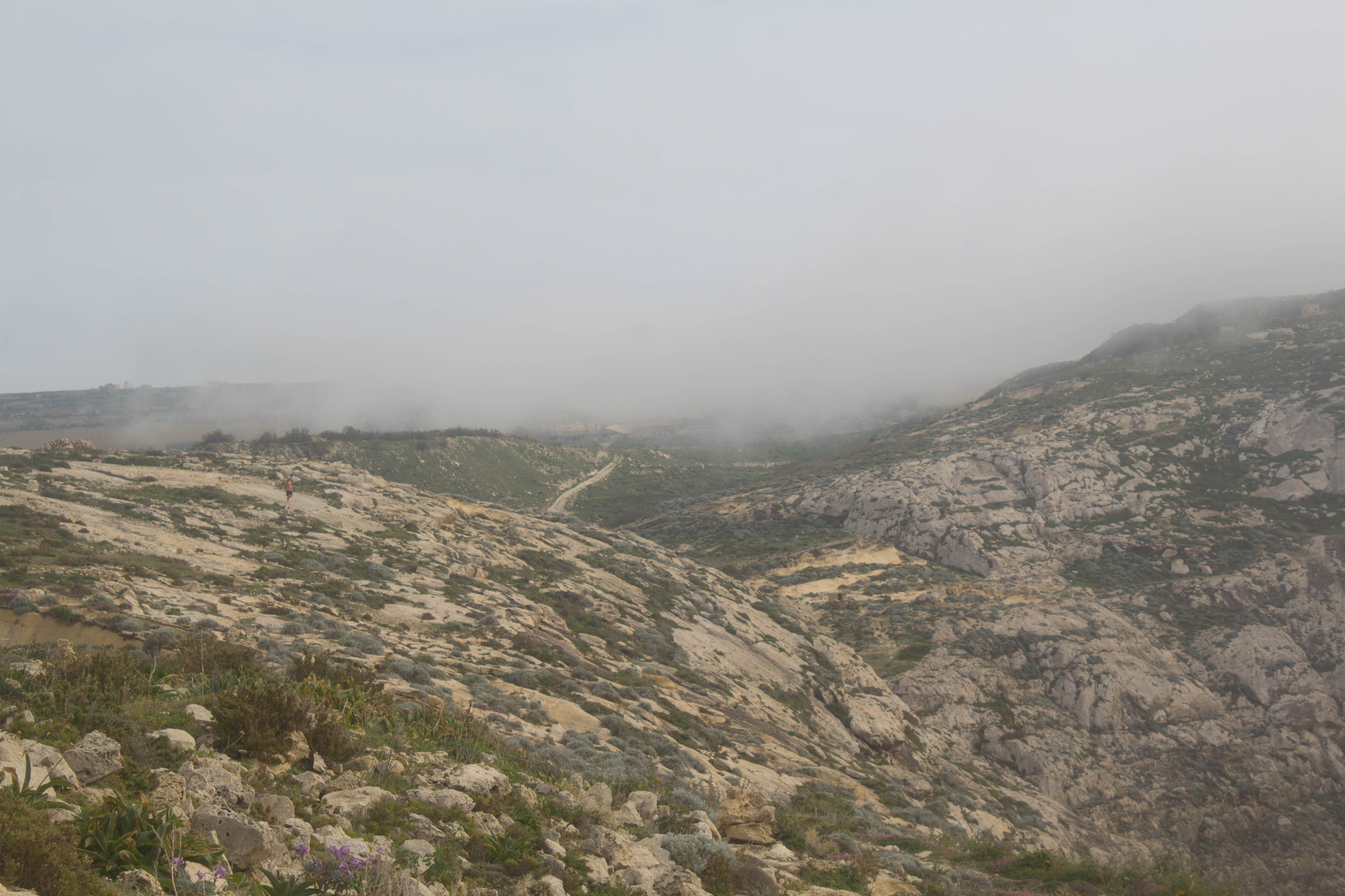
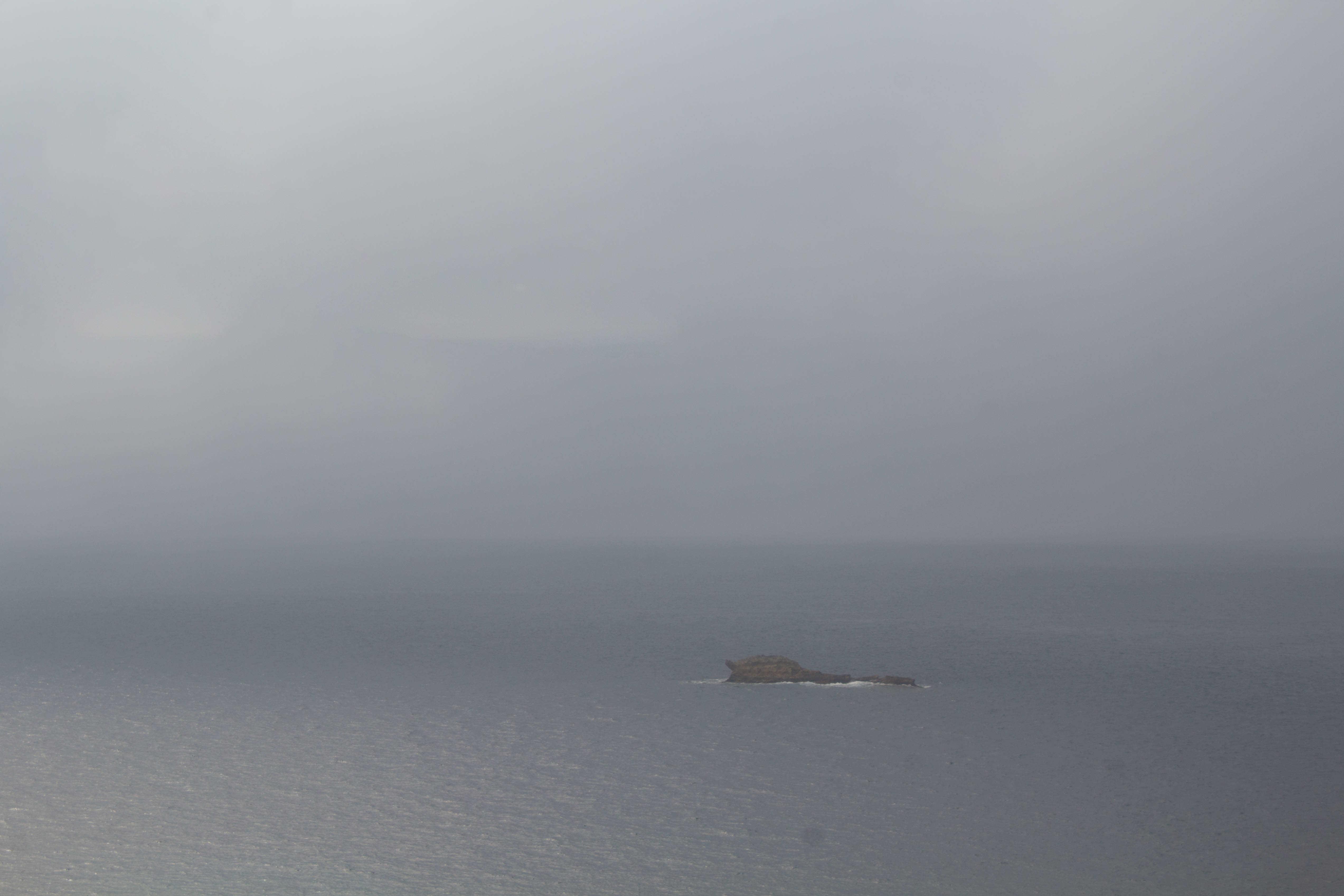
Dense Fog on 09/03/2019
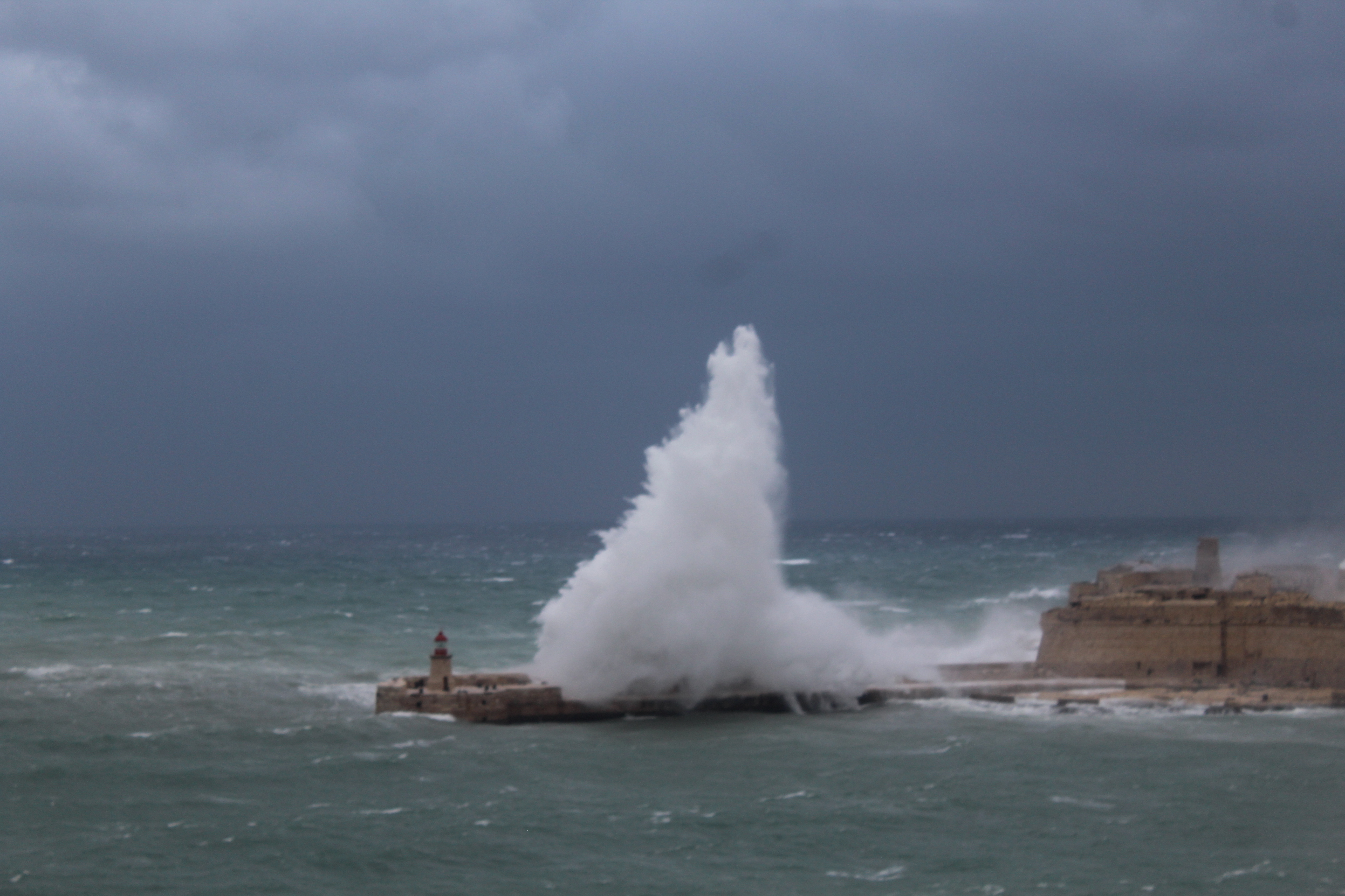
A warm and moist air mass passed over the central Mediterranean on Saturday 09/03. The meteorological conditions were ideal for the formation of sea fog. The sea fog formed as the warm and moist air mass from the south was advected (blown) over the cooler sea around us. This caused the air mass to cool down. Its temperature fell to the dew point (the temperature at which an air mass becomes saturated and the water vapour in it condenses) polska-ed.com. For this type of fog to form and persist, the wind must be light. The light wind allows the air mass to slide slowly over the cooler area of sea increasing the chances of saturation and condensation. Often, sea fog dissipates as it moves inland. However, given that the air on land is very similar to that of the sea around us, the sea fog prevailed and engulfed the Maltese Islands.
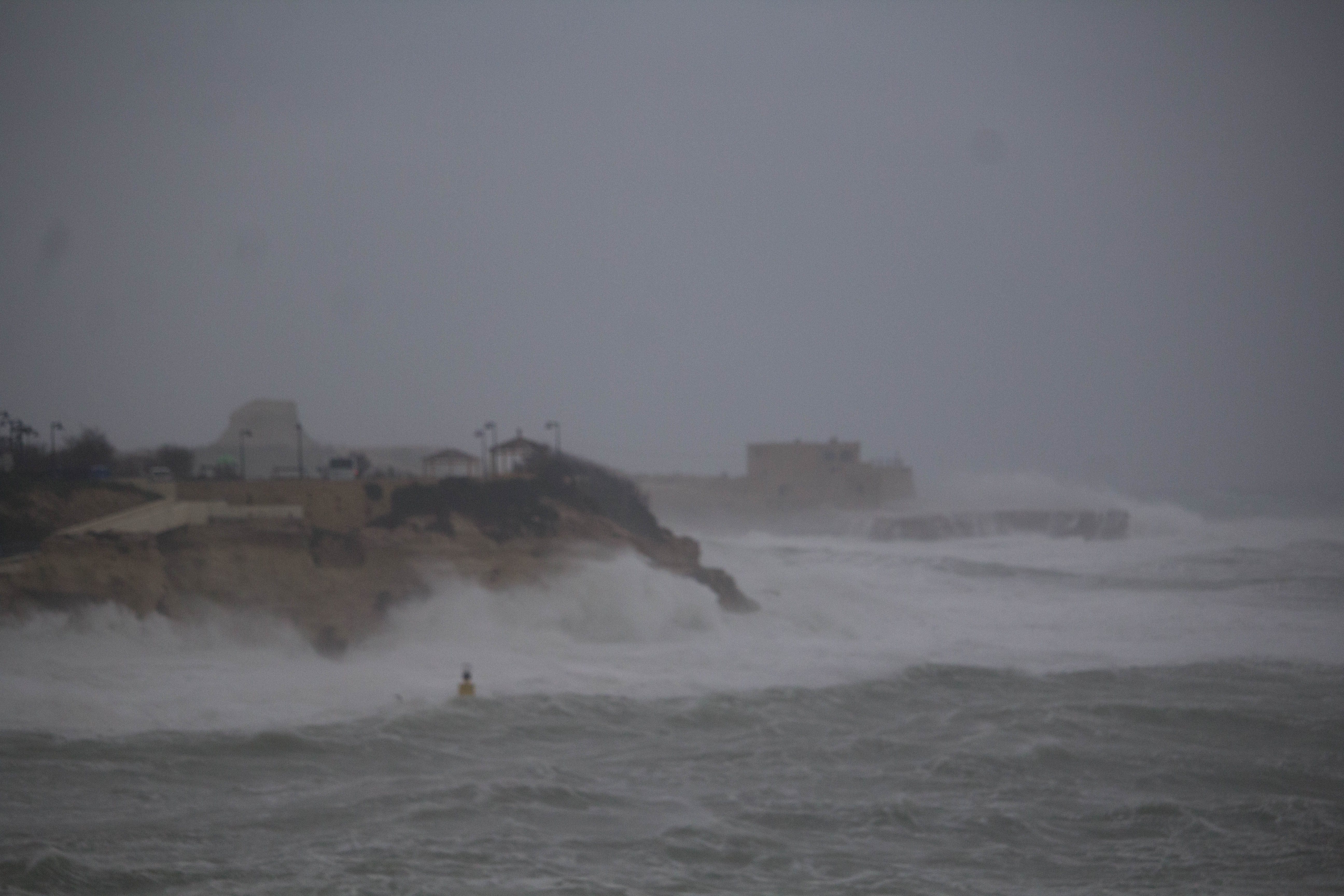
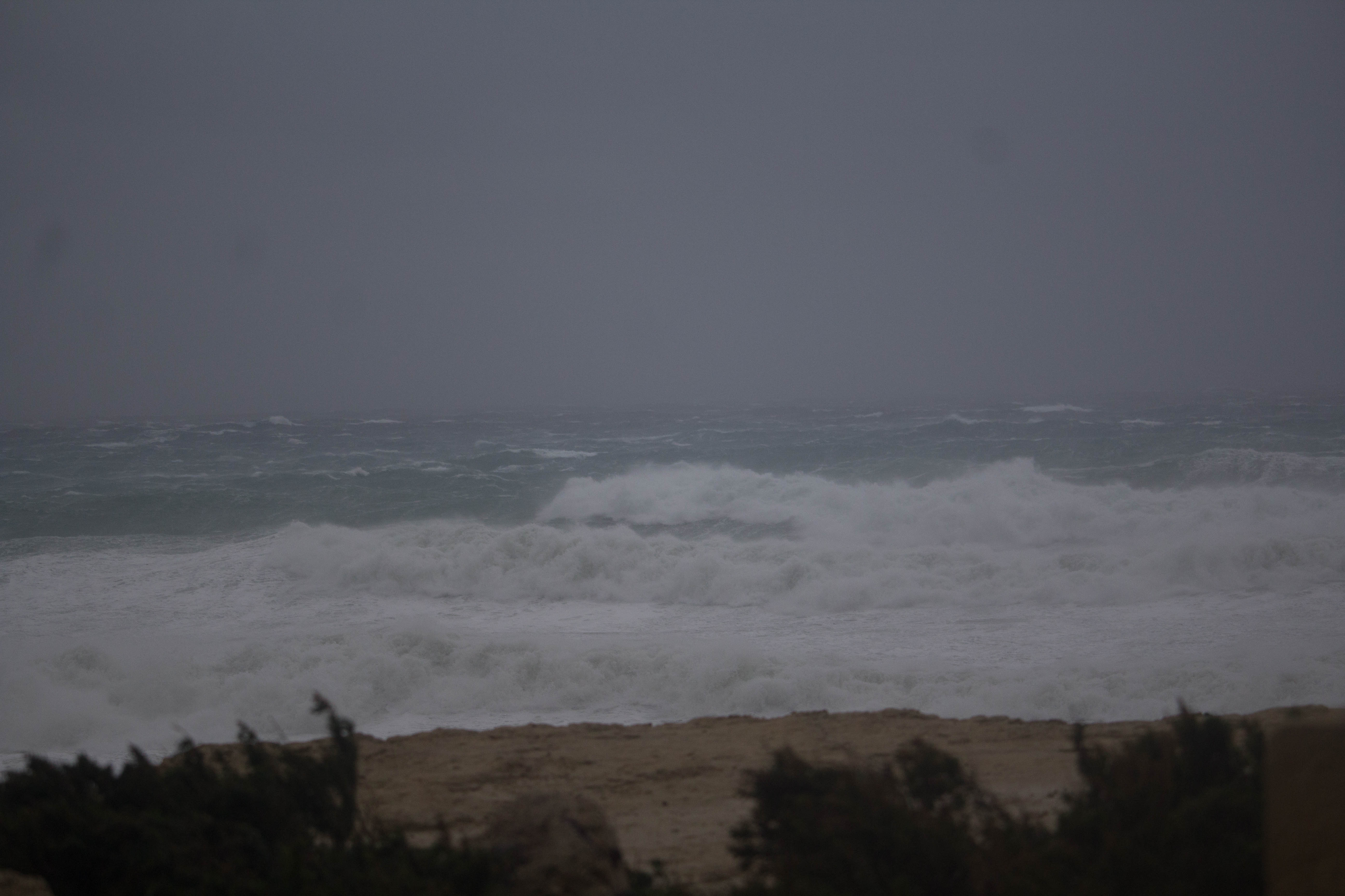
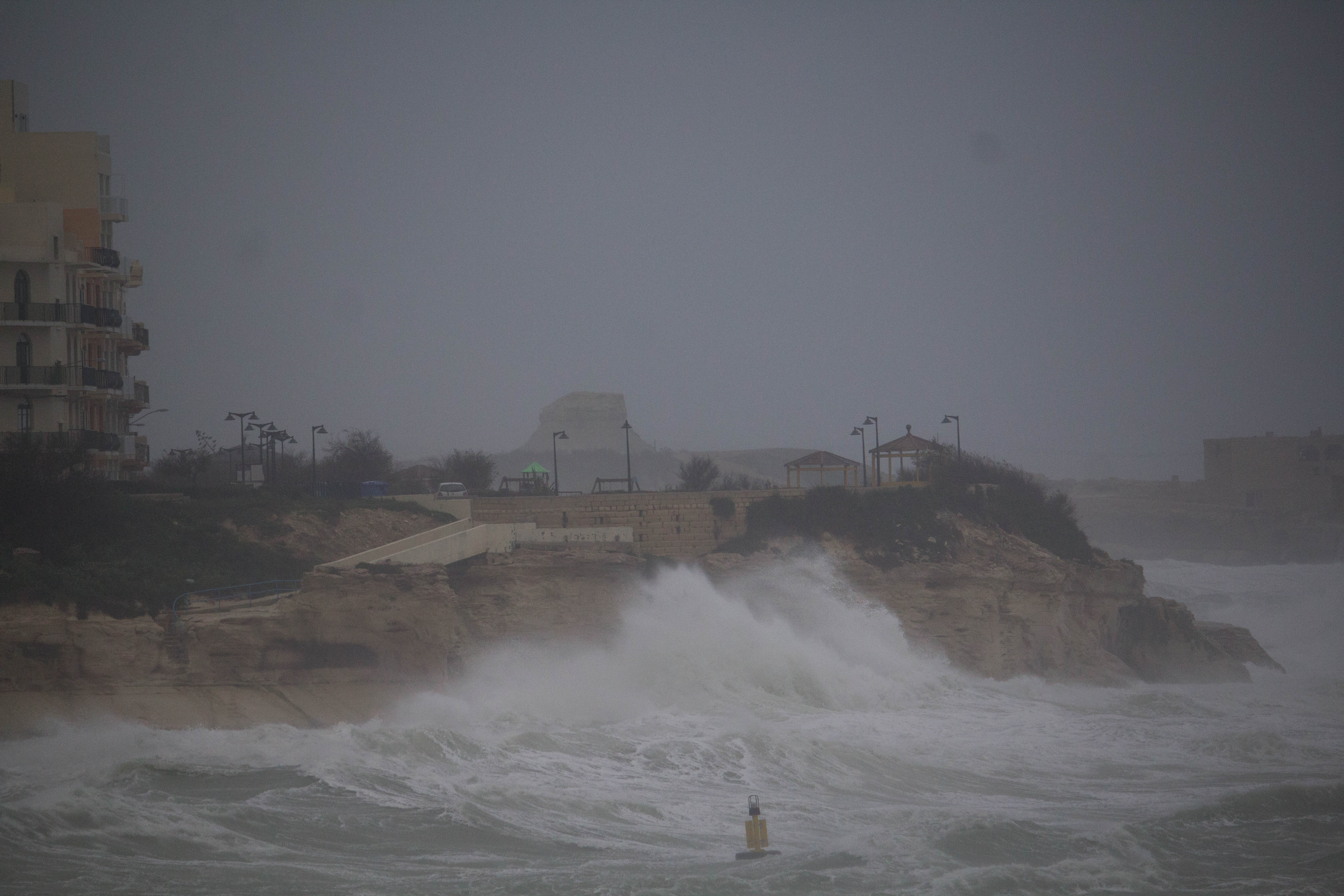
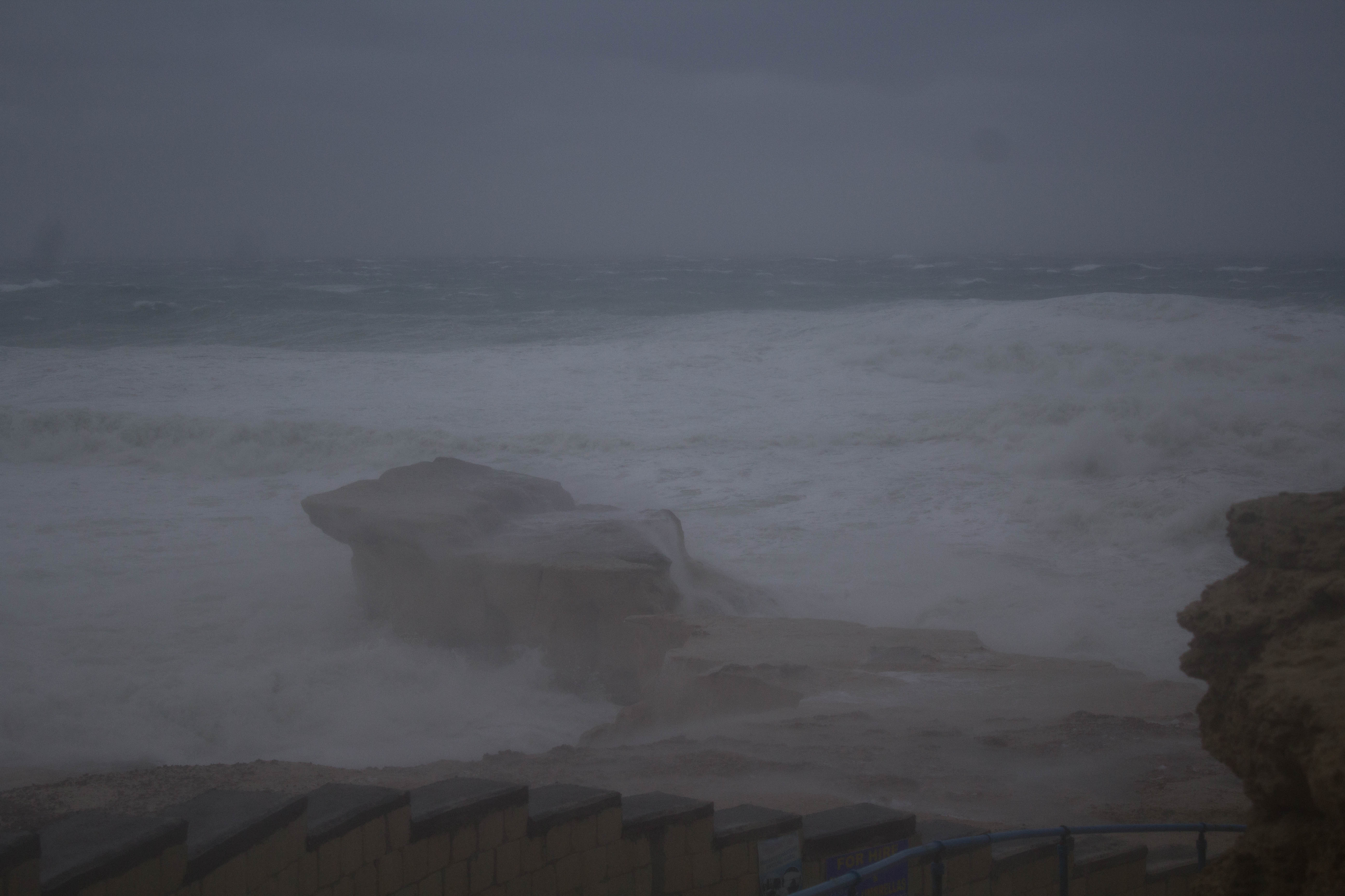
The most affected were coastal localities along the northwest of the Maltese Islands. Conditions are very rarely ideal for the formation of this fog locally. It is only possible in spring, when the first warm and moist air masses from the south start reaching us. These clash with the still cold sea around us. The air temperature over land dropped by 10°C as the fog shrouded the Maltese Islands.
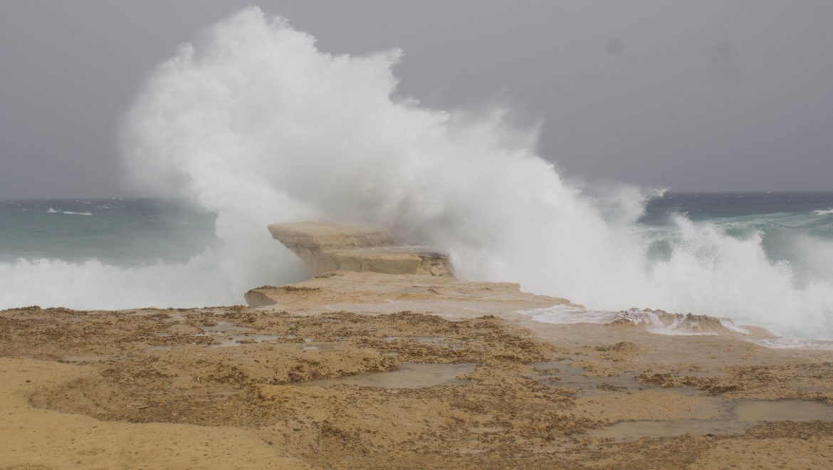
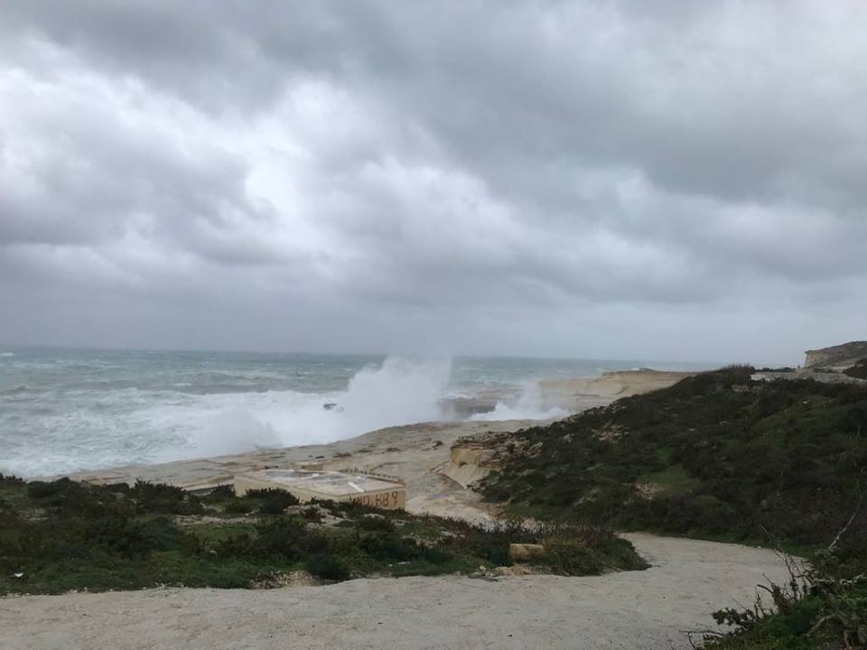
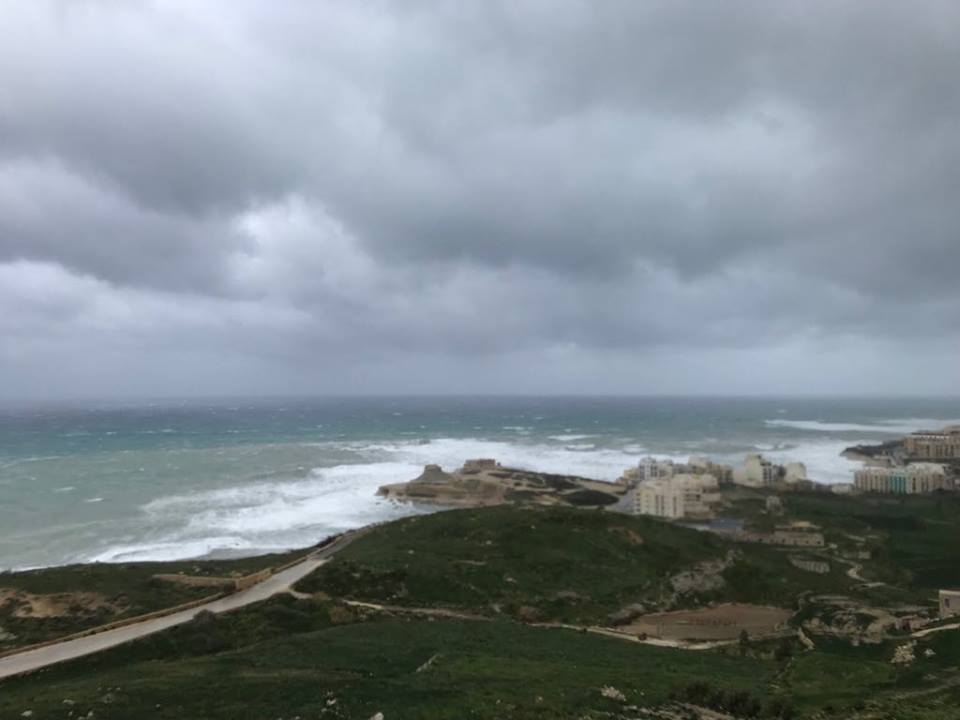
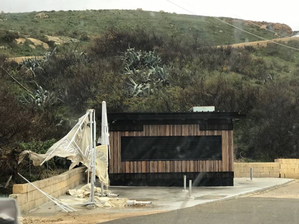
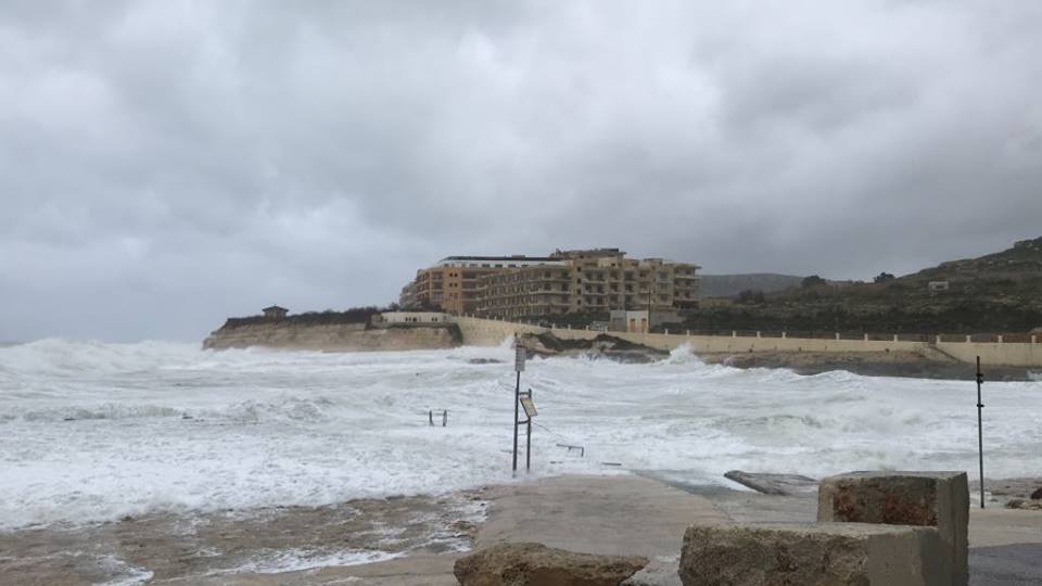
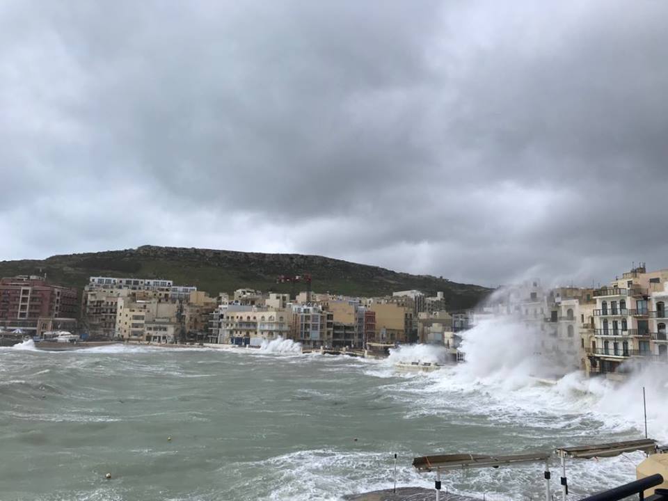
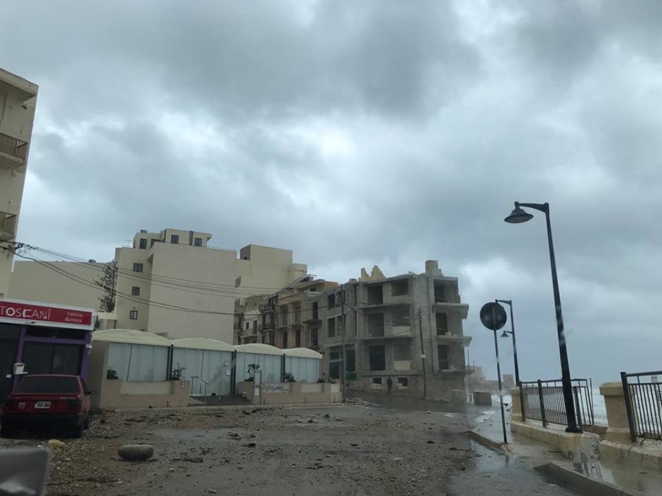
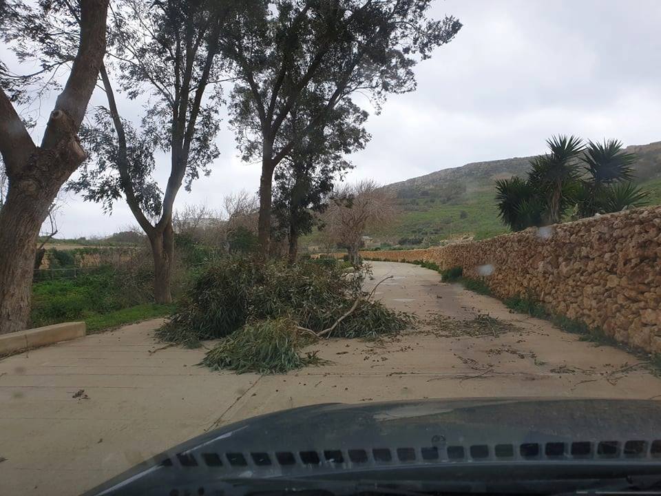
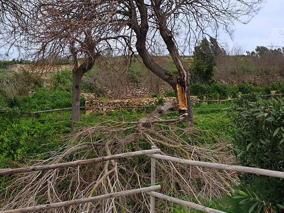
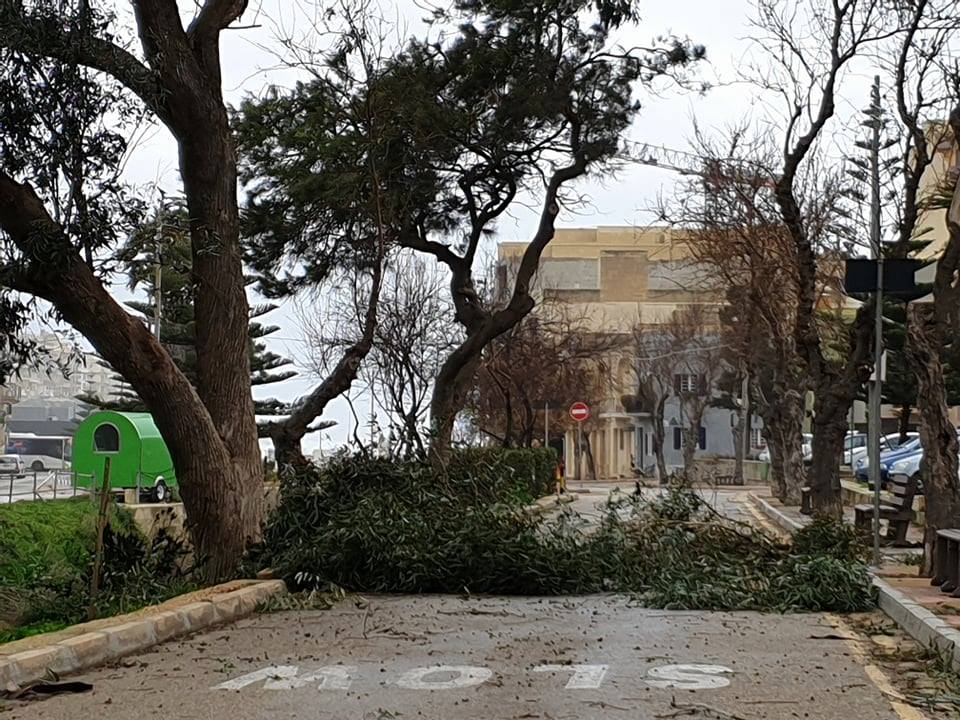
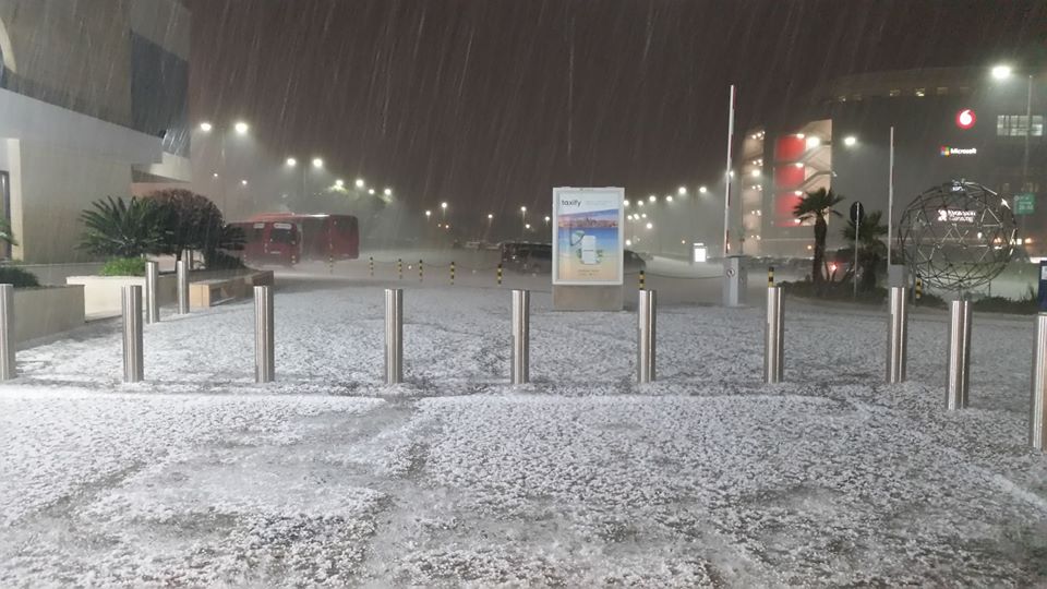
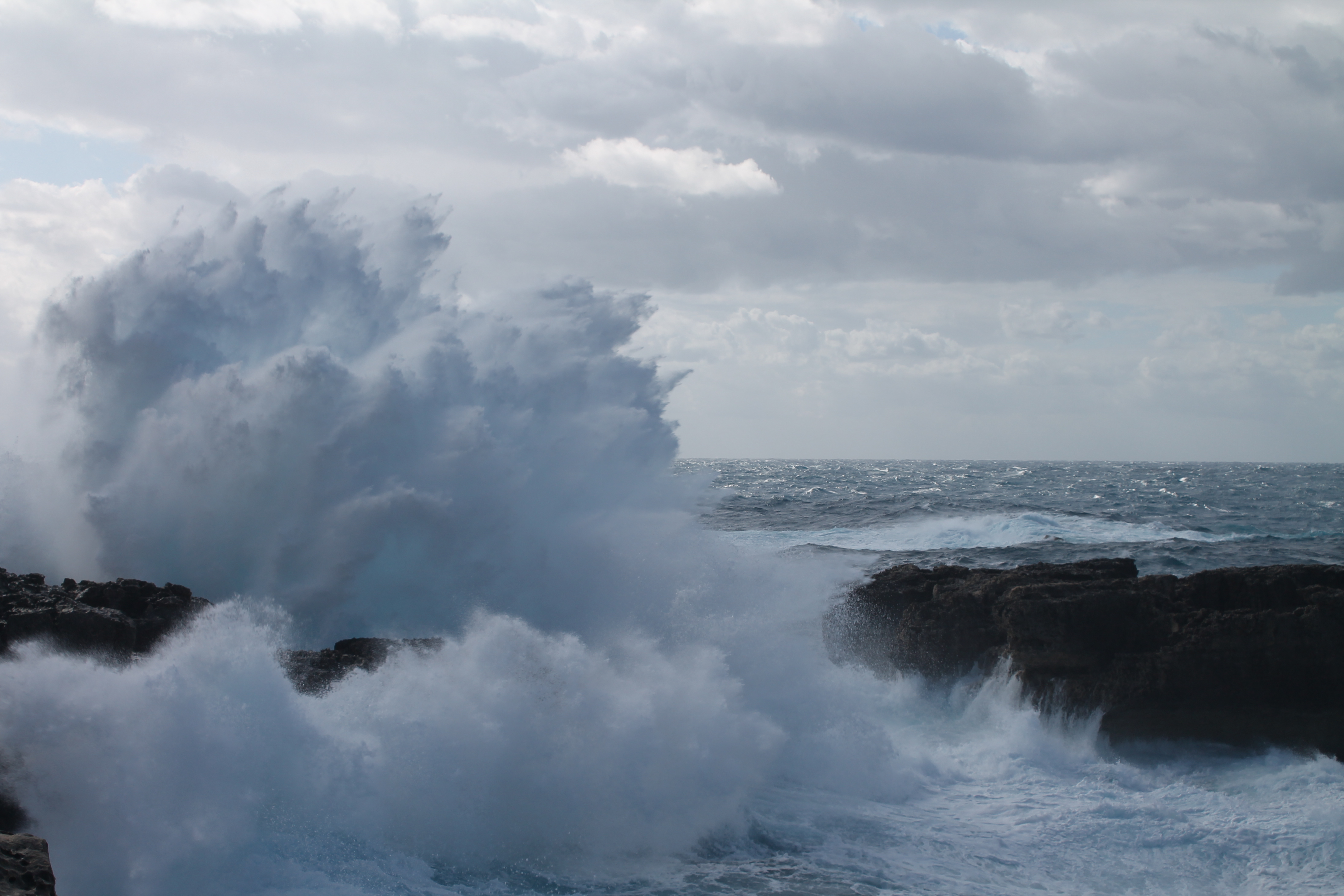
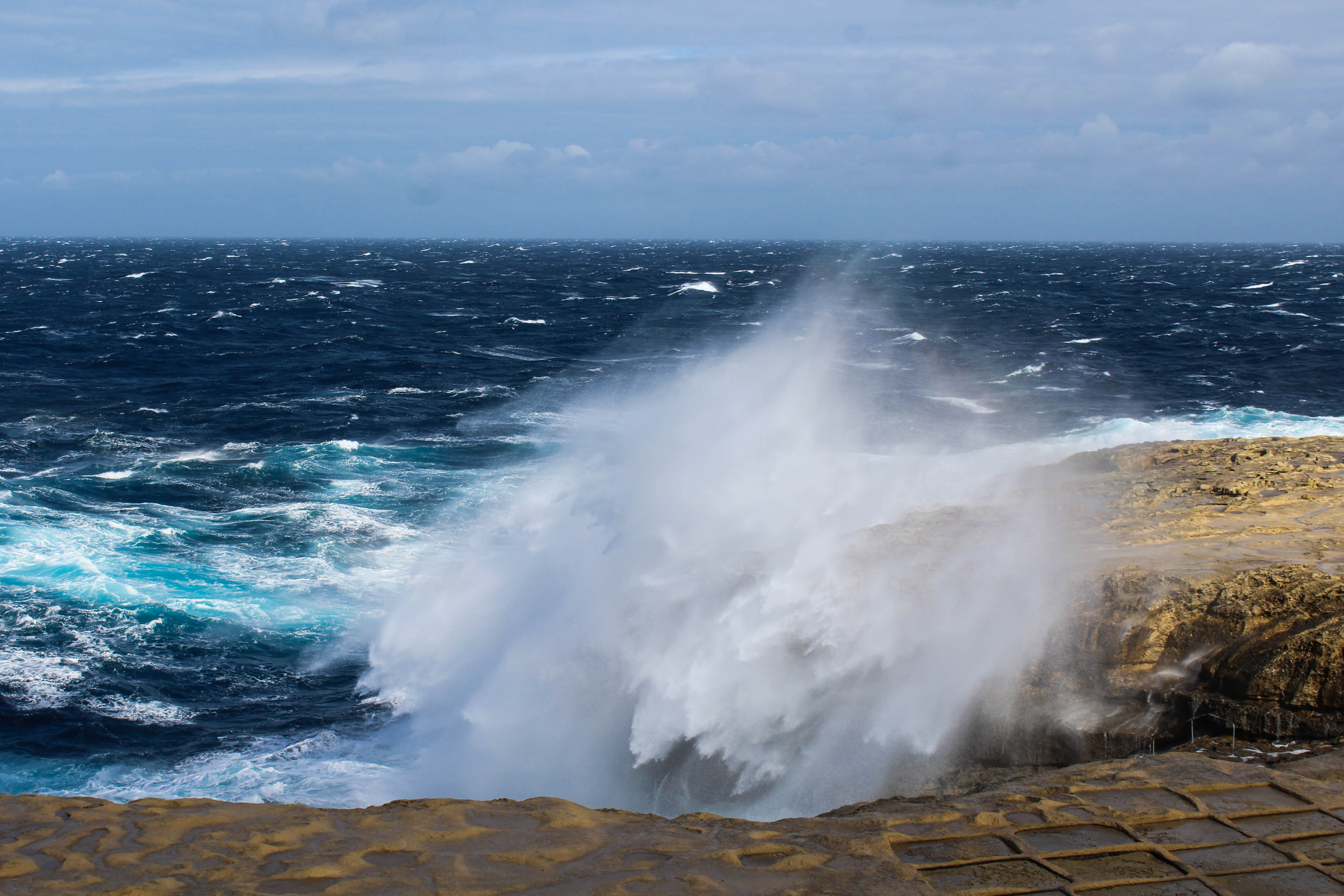
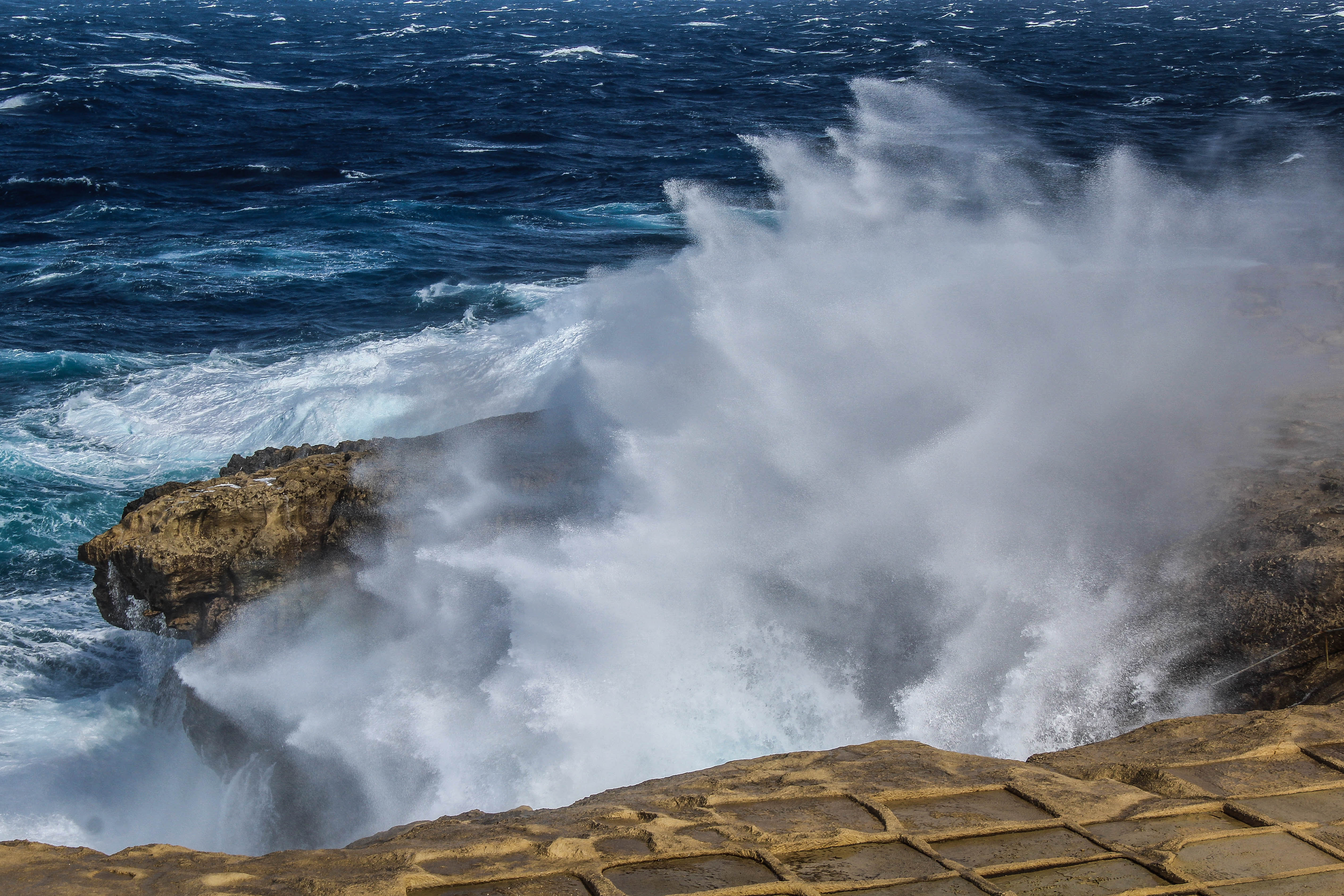
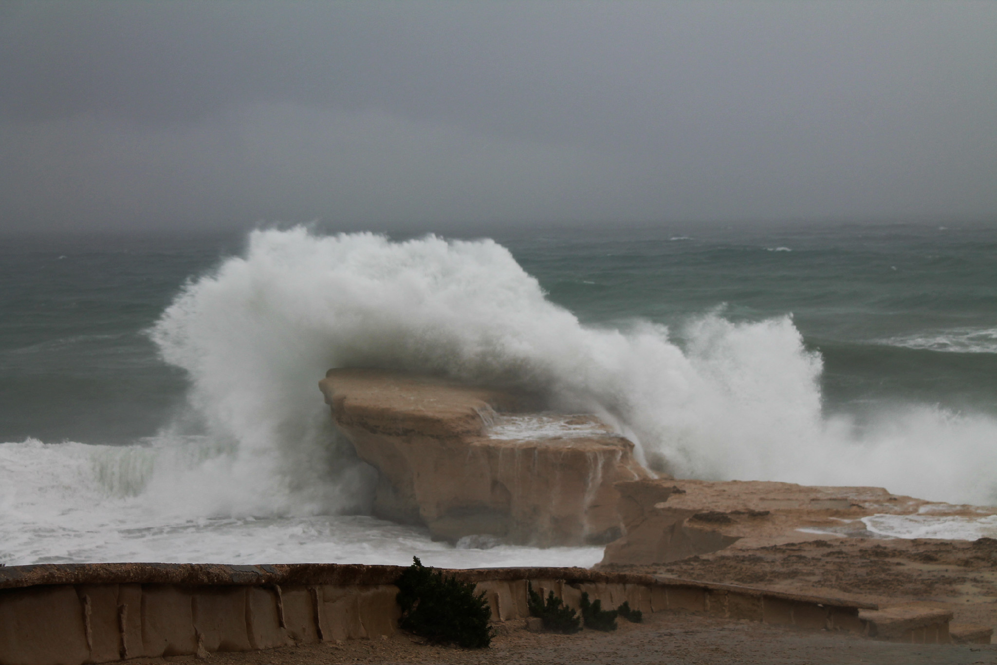
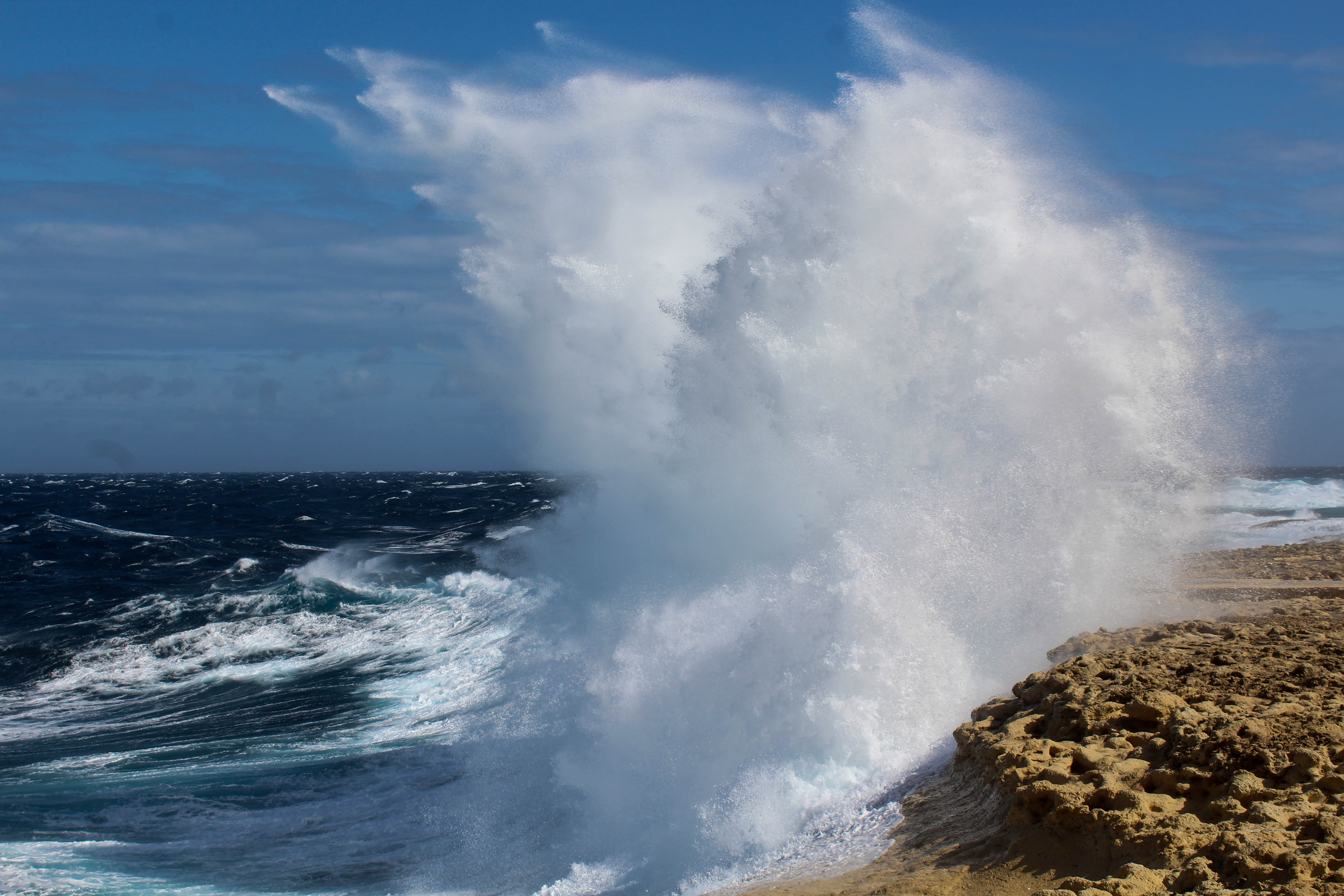
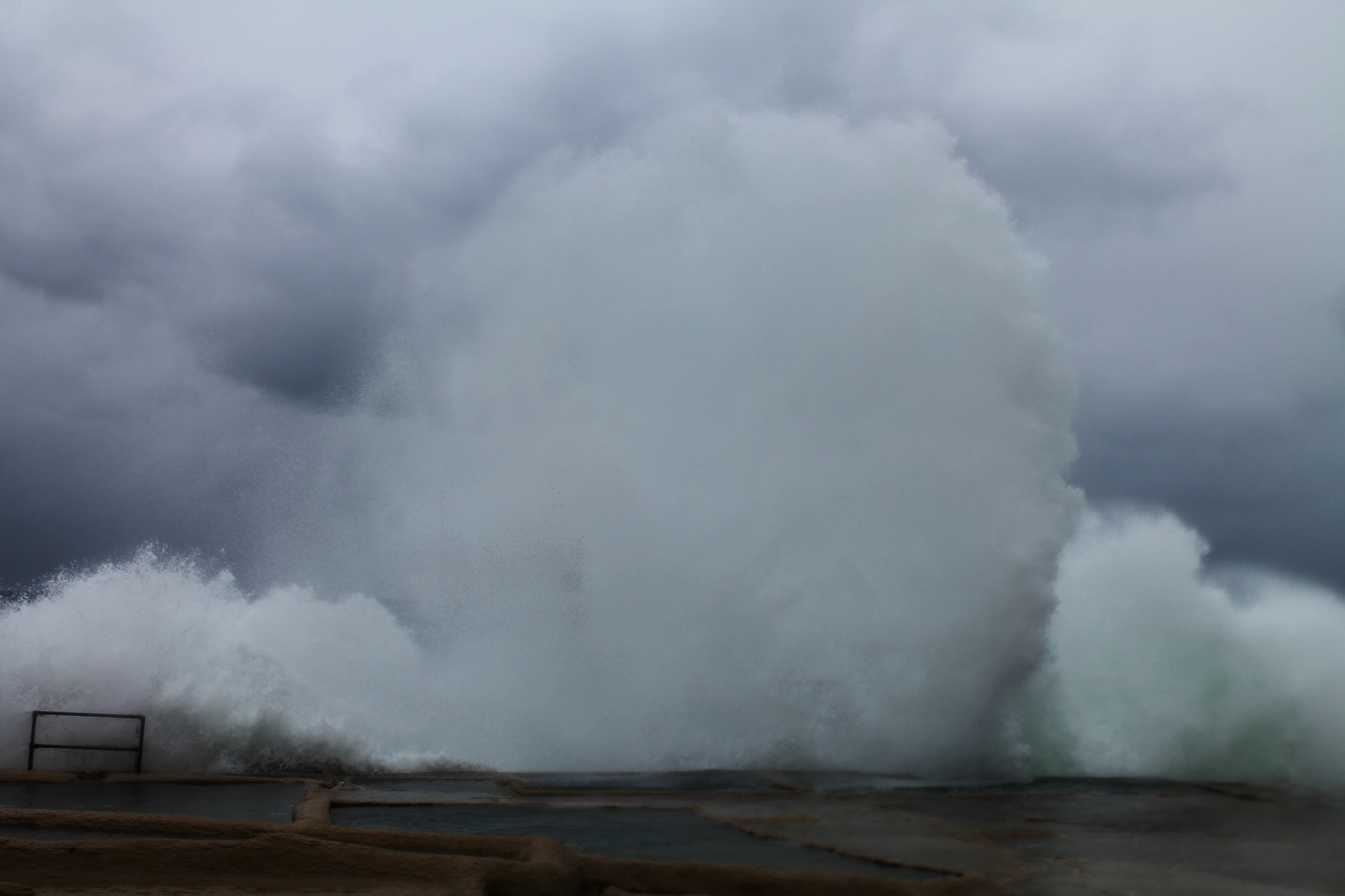
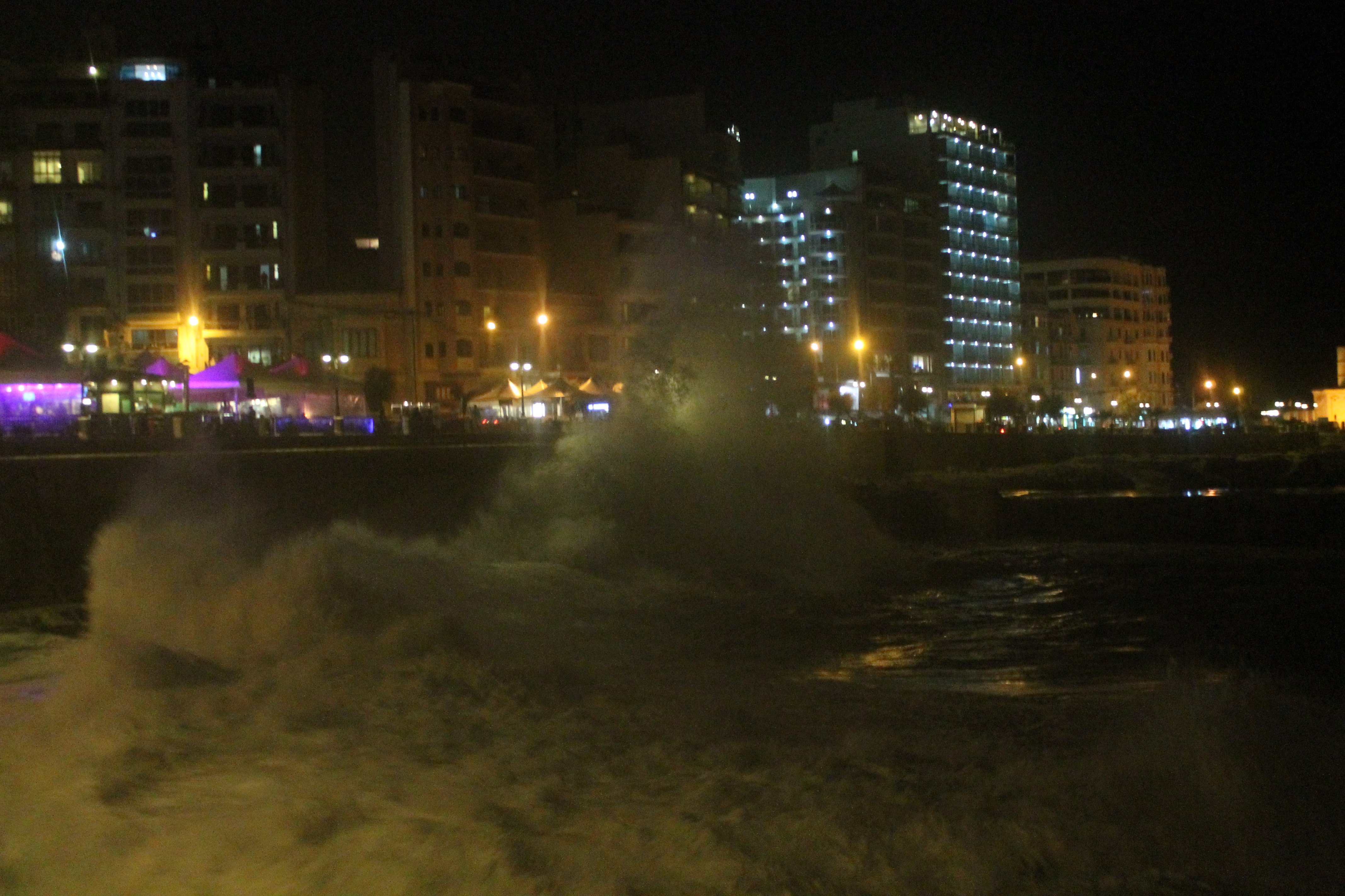
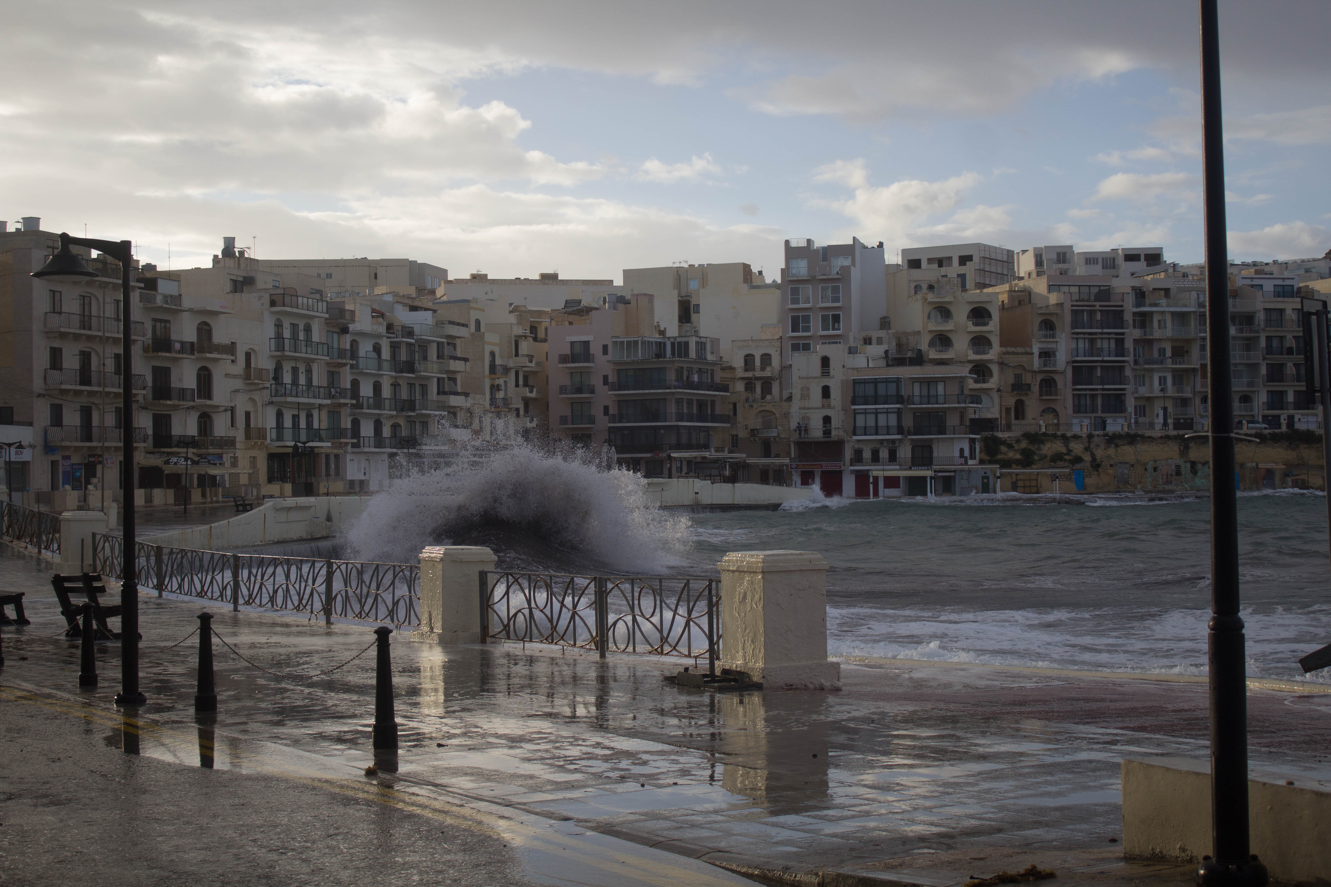
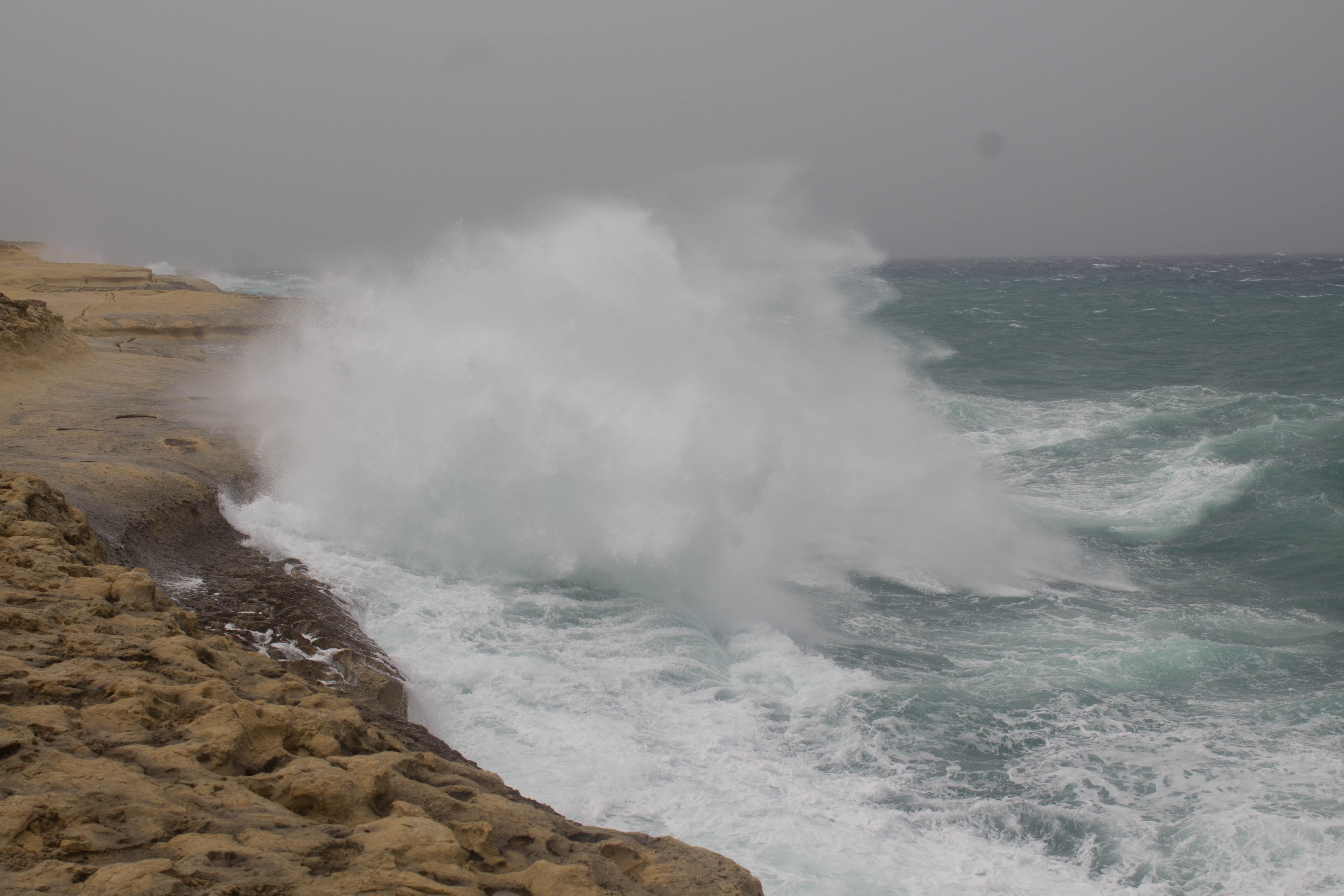
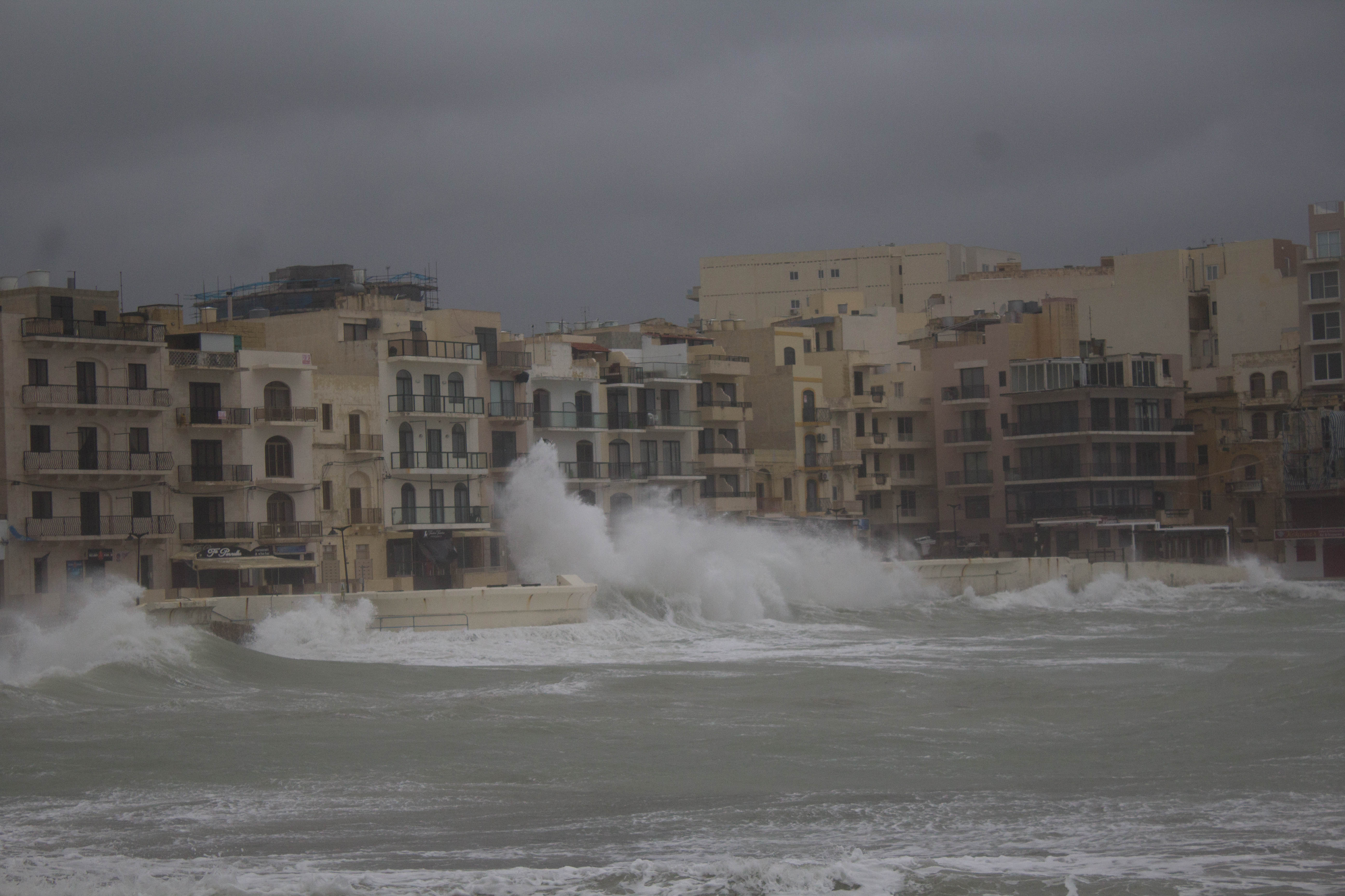
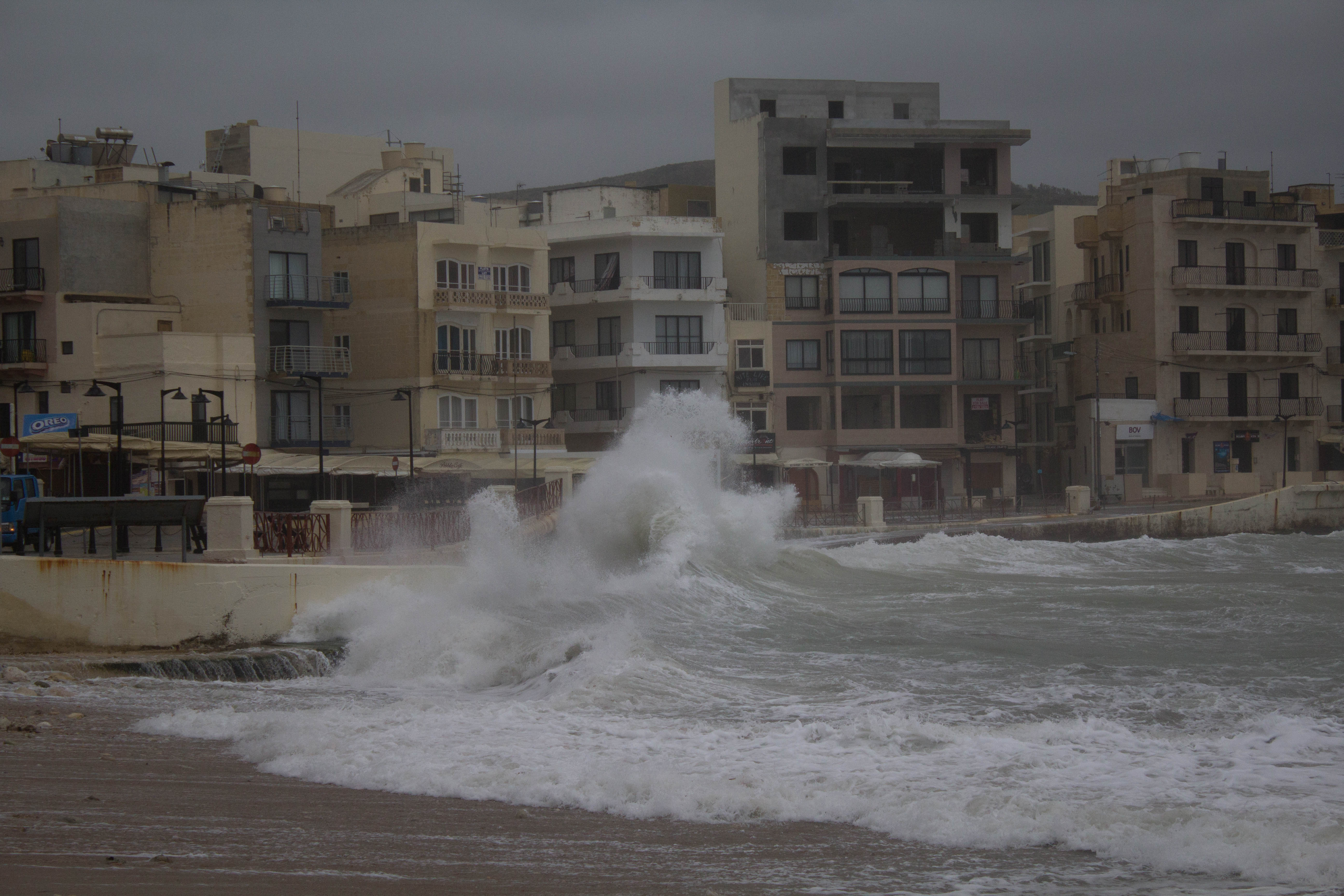
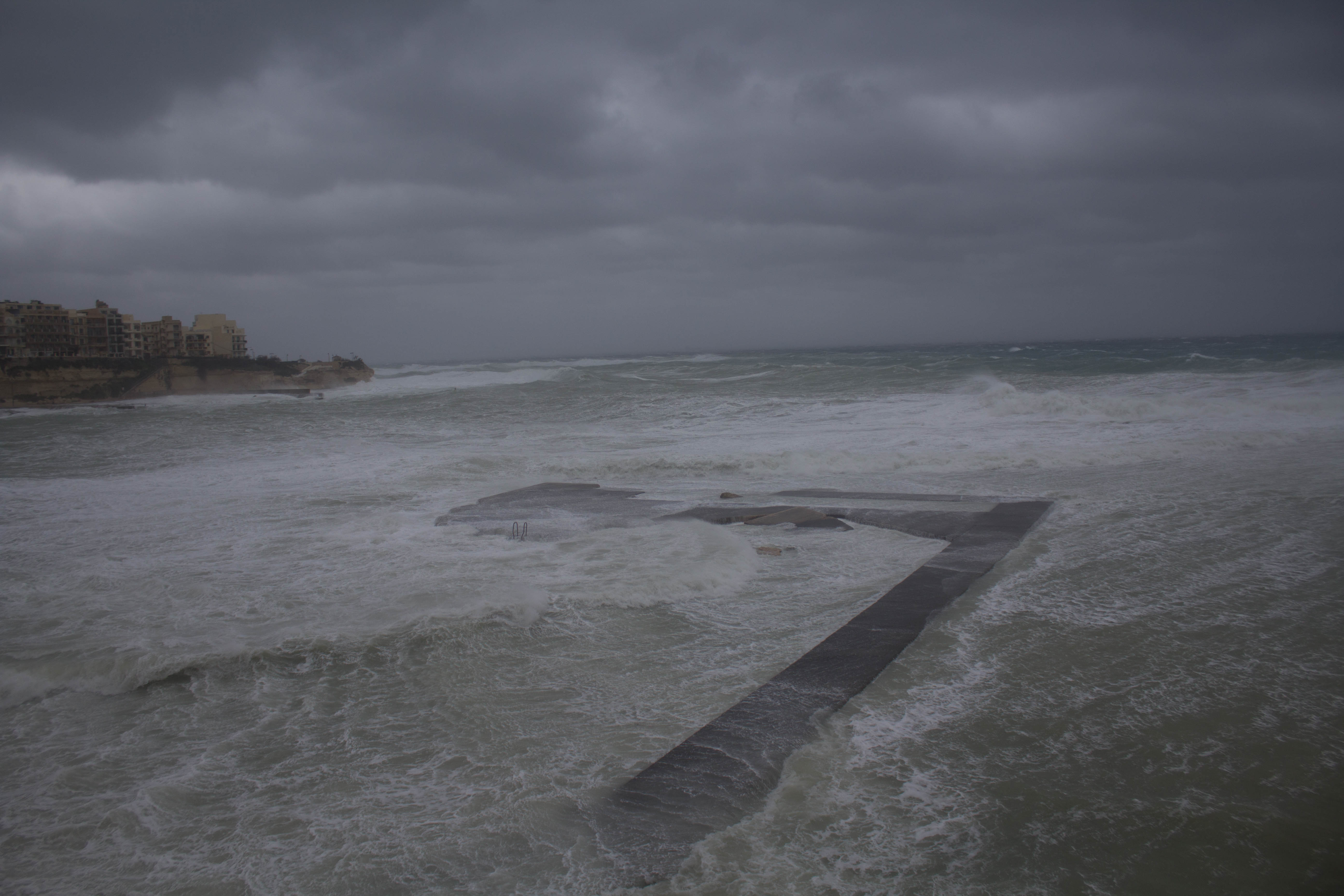
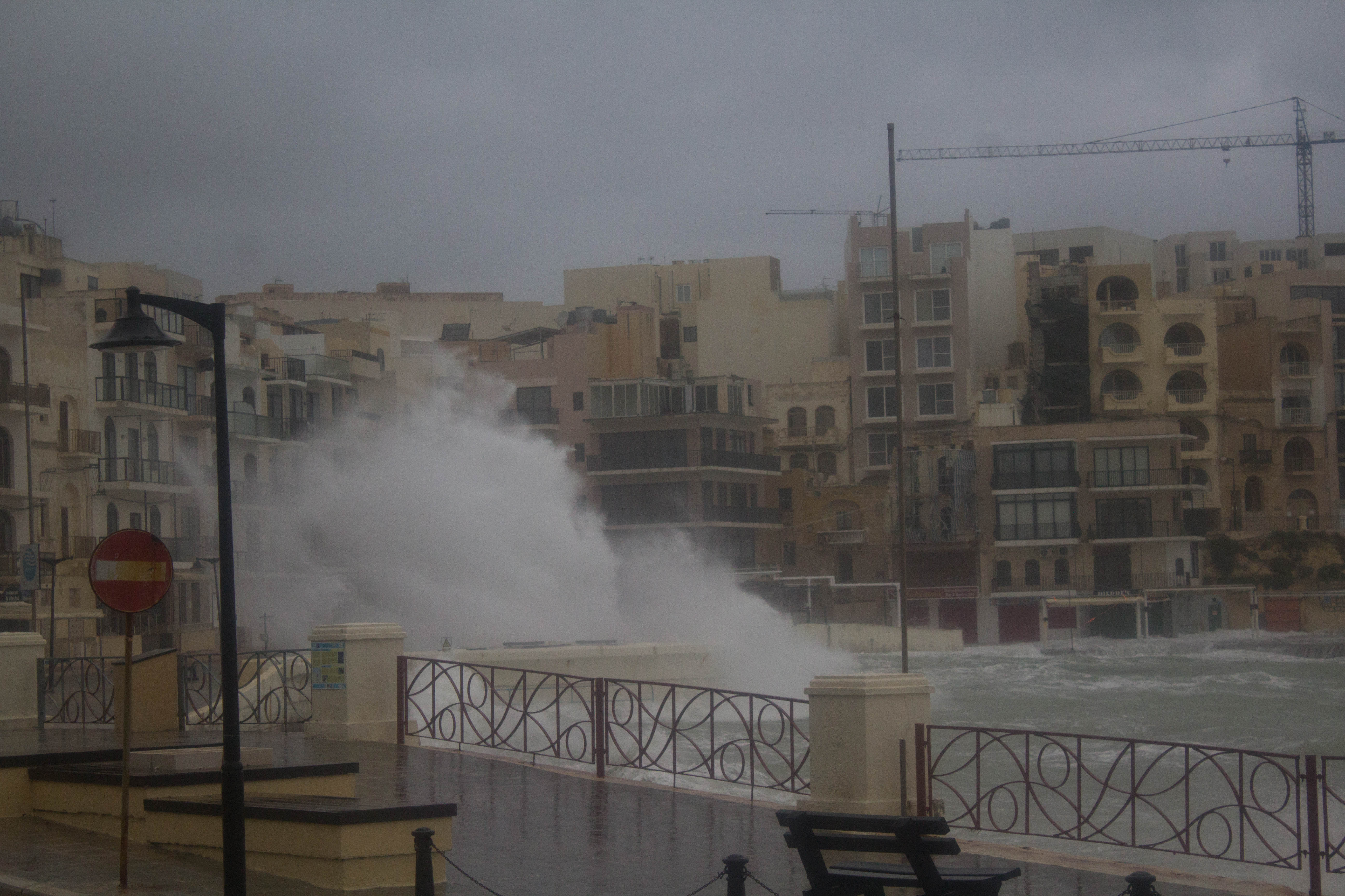
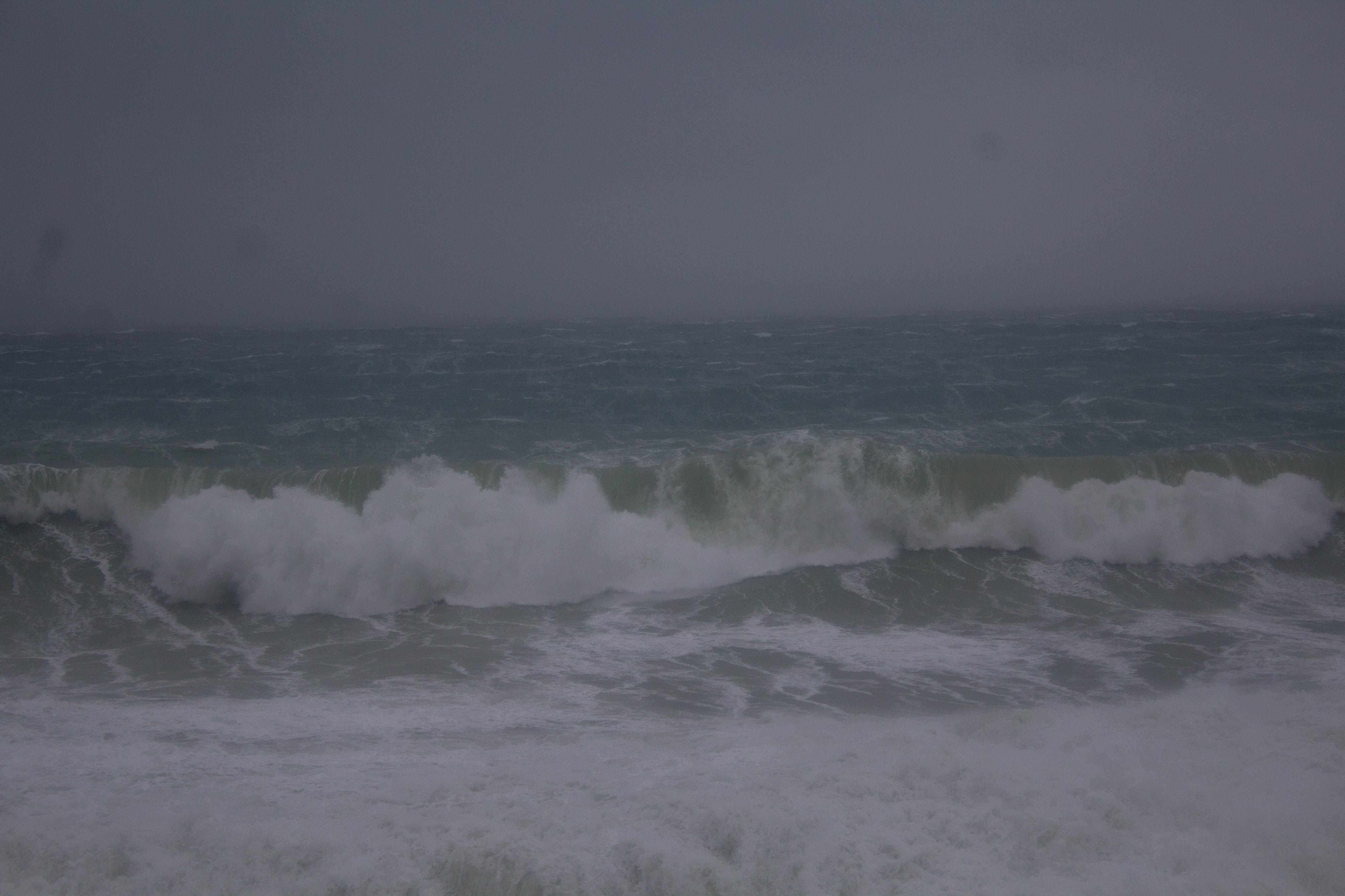
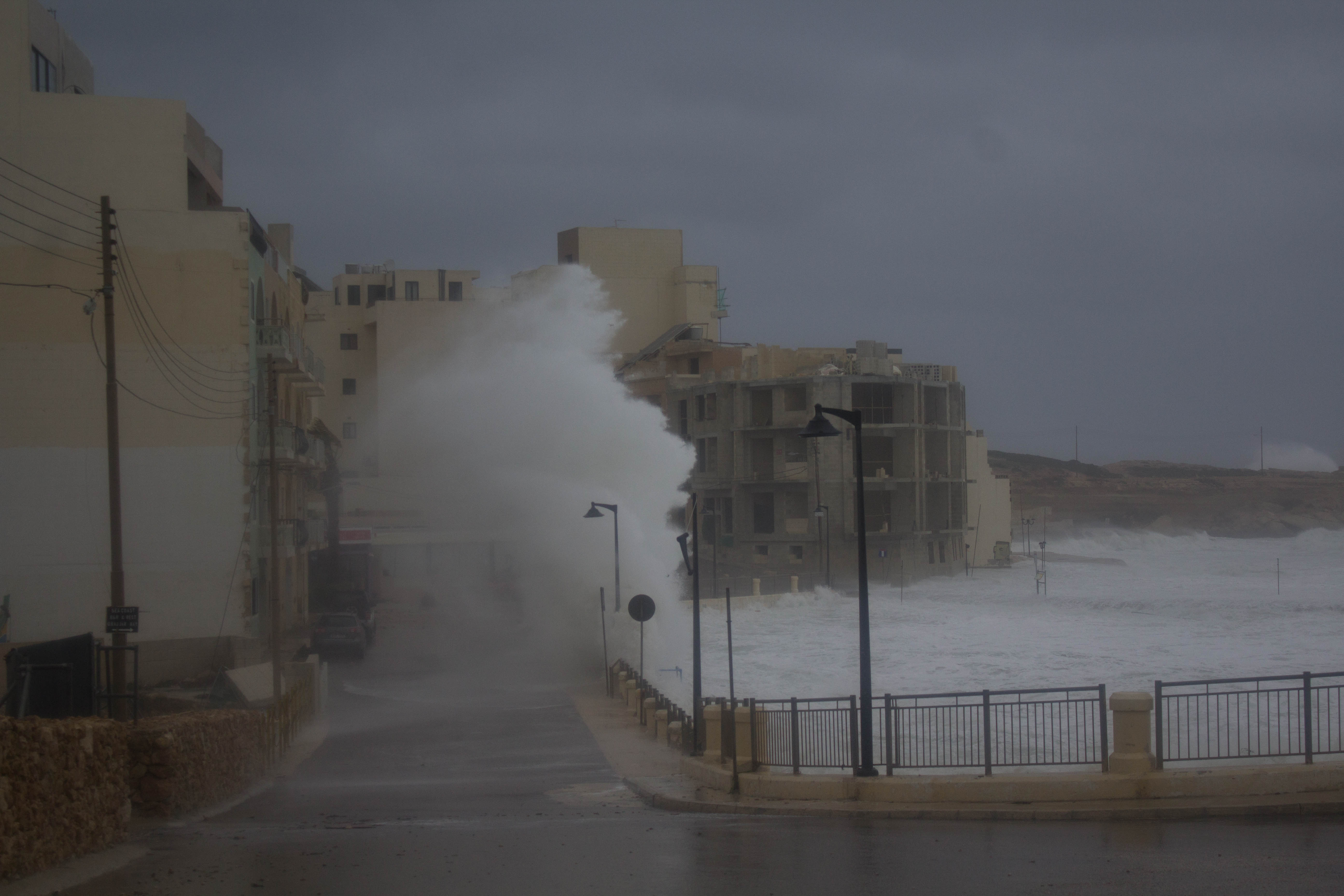
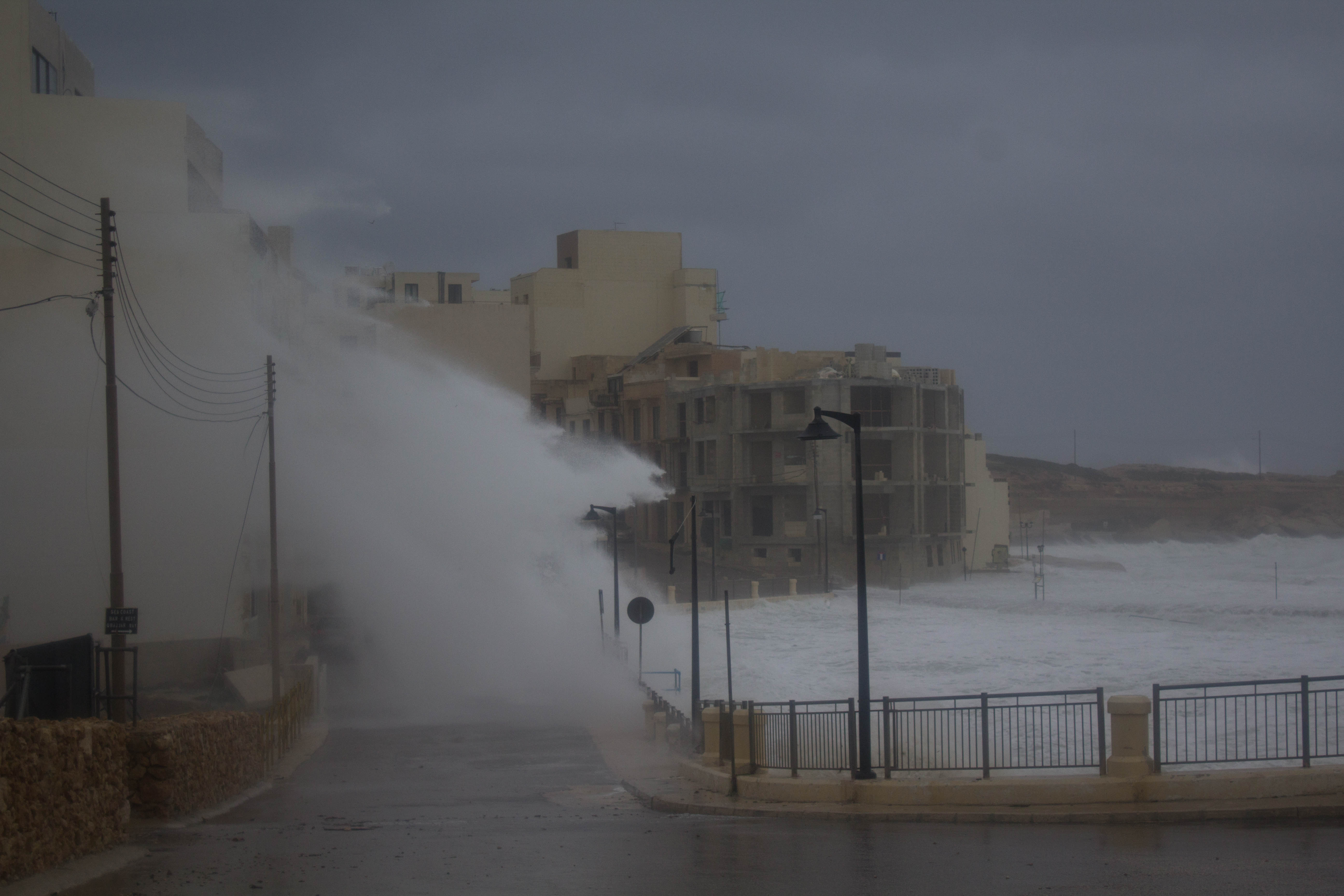
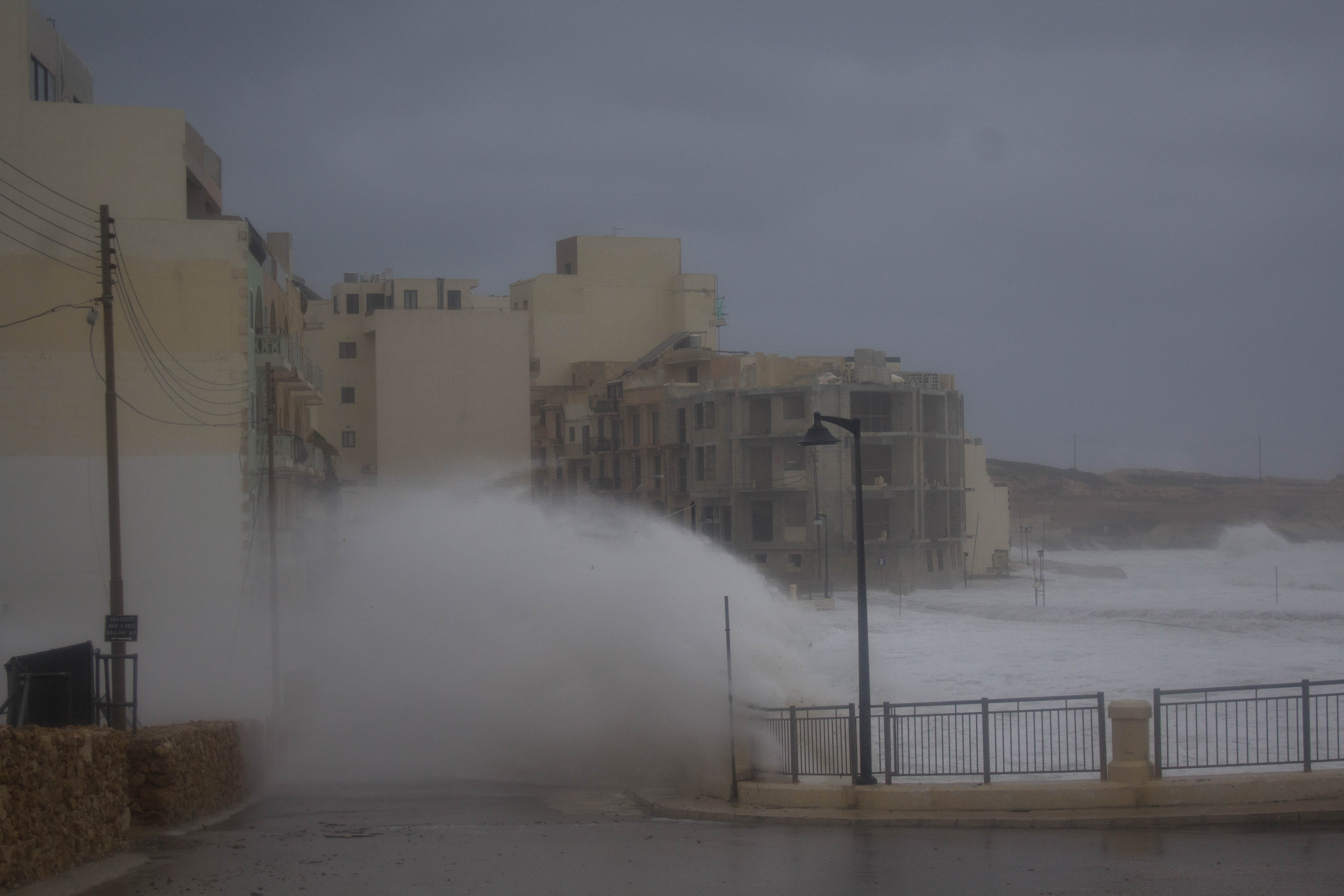
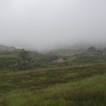
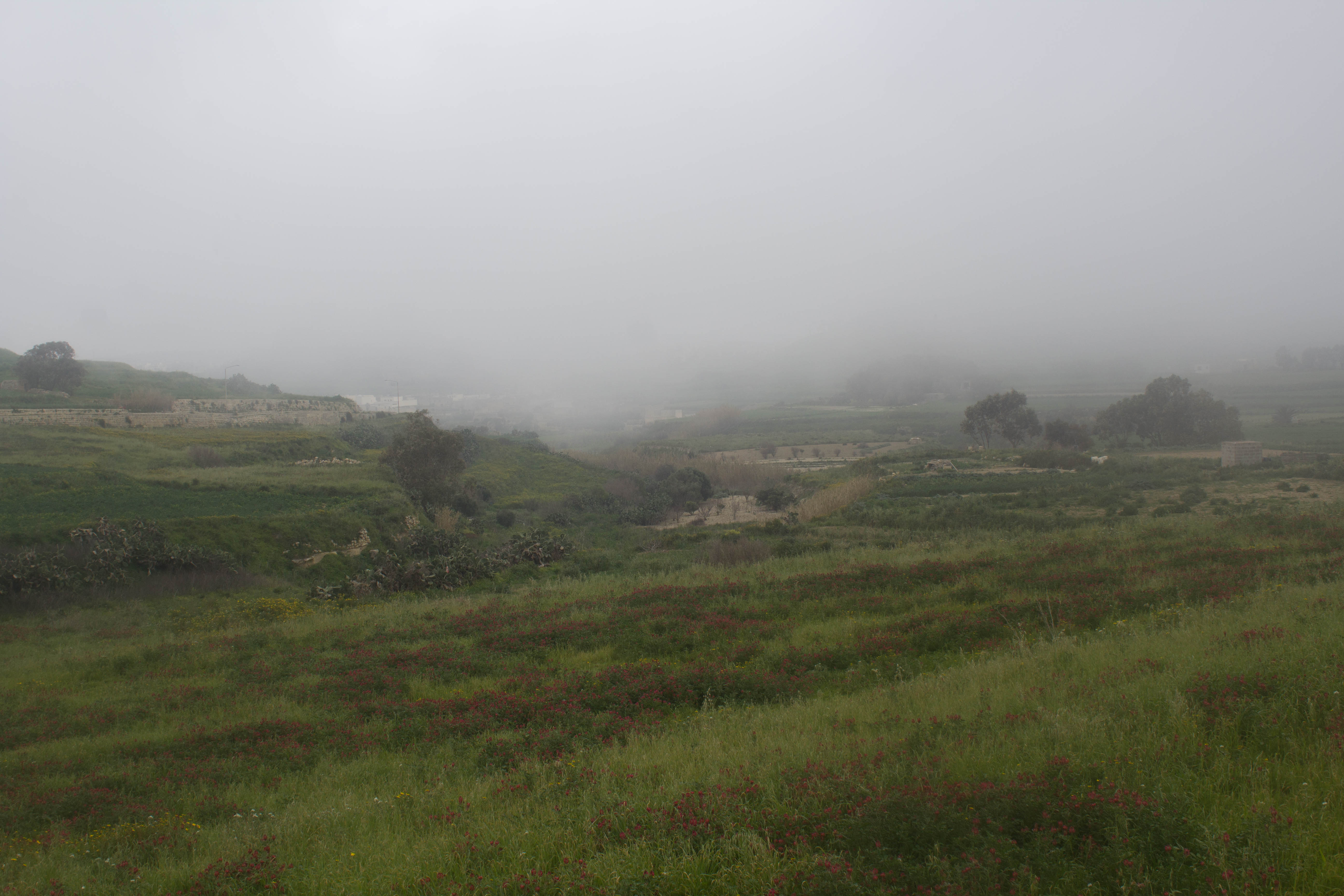
Thanks to Andrea Muscat for the photos!
-
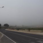
- Andrea Muscat
-
- Andrea Muscat
-
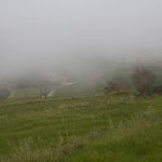
- Andrea Muscat
-
- Andrea Muscat
-
- Andrea Muscat
-
- Andrea Muscat
-
- Andrea Muscat
-
- Andrea Muscat
-
- Andrea Muscat
-
- Andrea Muscat
-
- Andrea Muscat
-
- Andrea Muscat
-

- Andrea Muscat