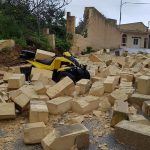
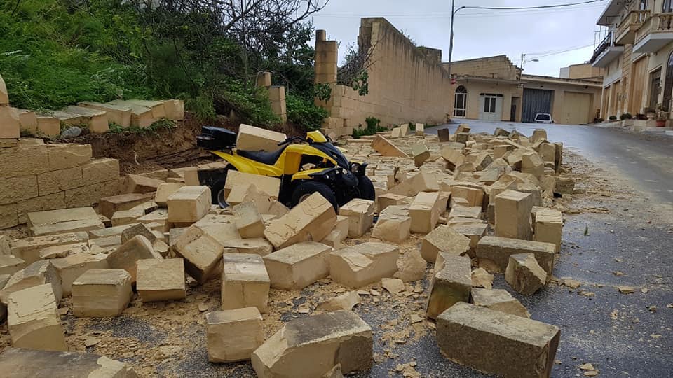
This was the strongest wind since the year 1982. A gust of 101km/h (Force 10) broke the long-standing wind gust record at our weather station in Għarb. The storm-force winds left behind a trail of destruction. In this report, we’ll describe what gave rise to this intense system and why it affected the Maltese Islands so badly.
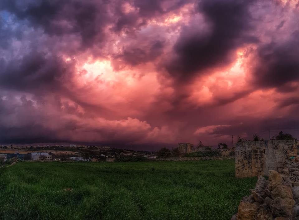
It was classified as an intense Mediterranean cyclone. The Mediterranean cyclone that formed late on Saturday 23/02 and lasted till late on Sunday 24/02, was the very first since the one in November 2014. A strong jet-stream blew some very warm and humid air masses from the Ionian Sea, the Gulf of Gabes and the Gulf of Sirte towards the central Mediterranean. Simulateneously, frigid air from over the Balkans penetrated the central Mediterranean, initiating the process of Mediterranean Cyclone development. This cold air mass caused temperatures to drop rapidly all around the Maltese Islands. In fact, the temperature at our weather station in Għarb dropped by over 11°C in around 3 hours; starting at 15.4°C and dipping to 3.9°C. That is also the coldest so far this winter. The strong wind made temperatures feel even colder. Here, in the central Mediterranean both air masses clashed together. The ingredients were in place for an intense Mediterranean Cyclone to develop. As a result of their clash, an existing low pressure system started intensifying very quickly, in a process referred to as cyclogenesis in meteorology. In fact, atmospheric pressure at its center dropped drastically, and a Mediterranean Cyclone was officially formed.
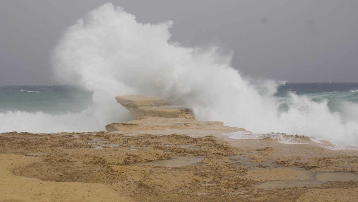
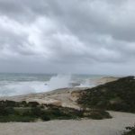
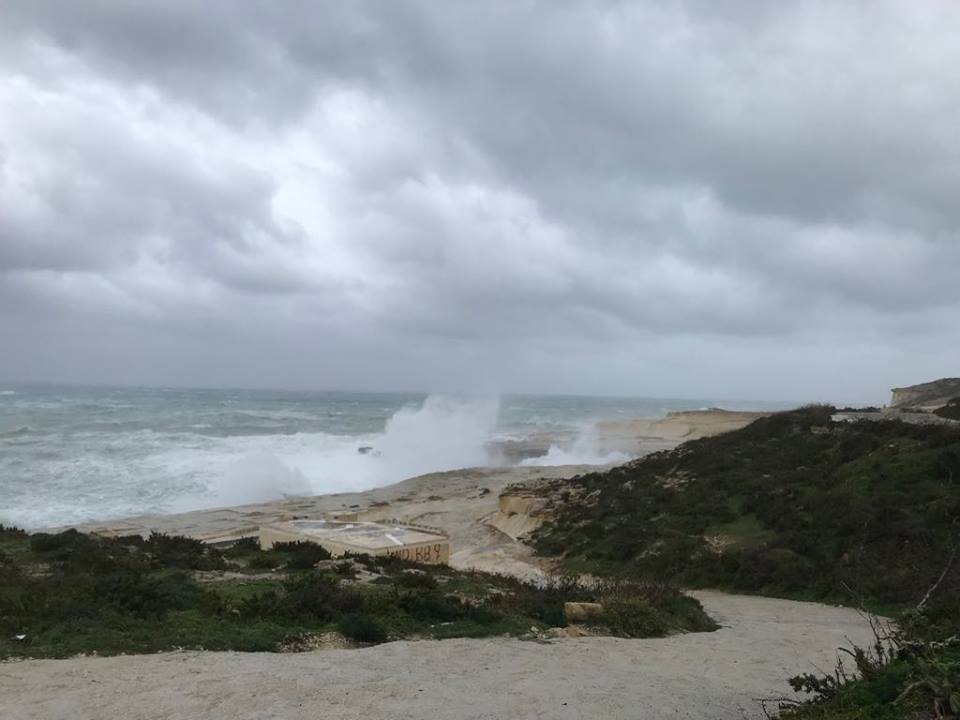
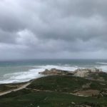
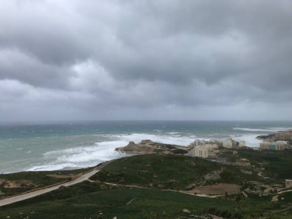
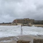
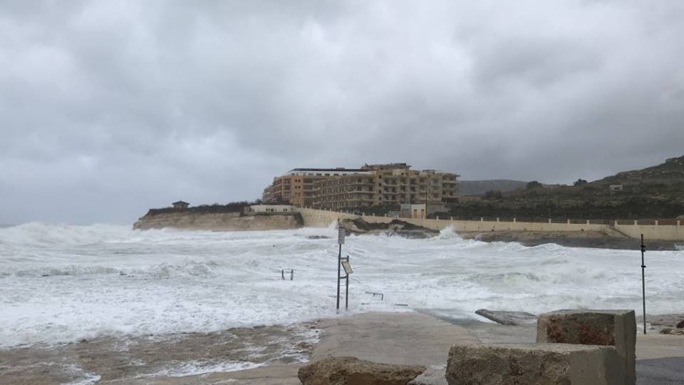
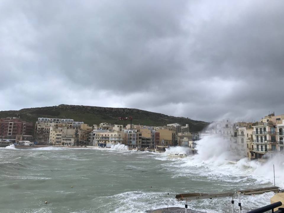
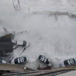
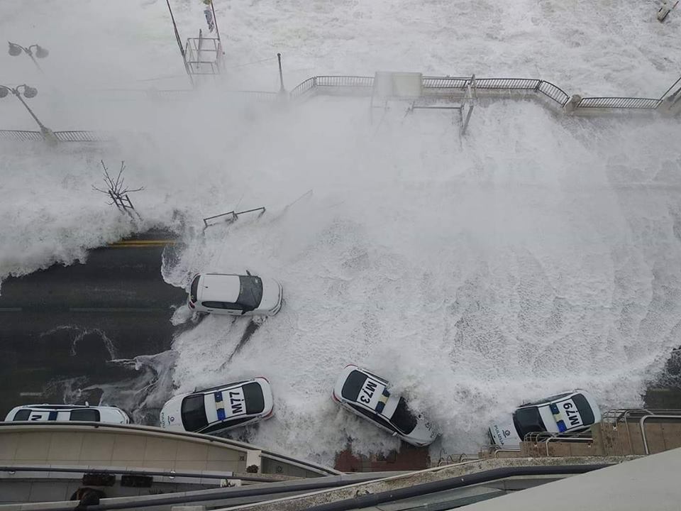
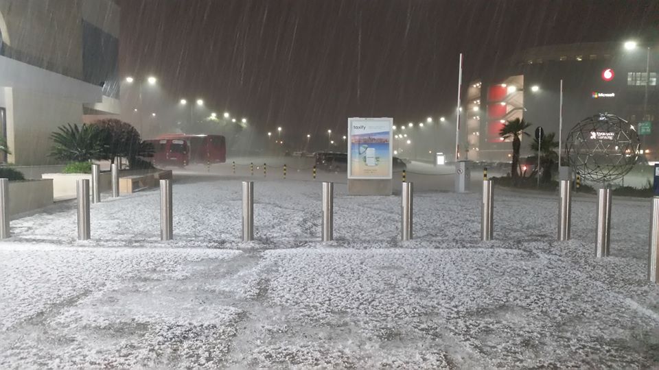
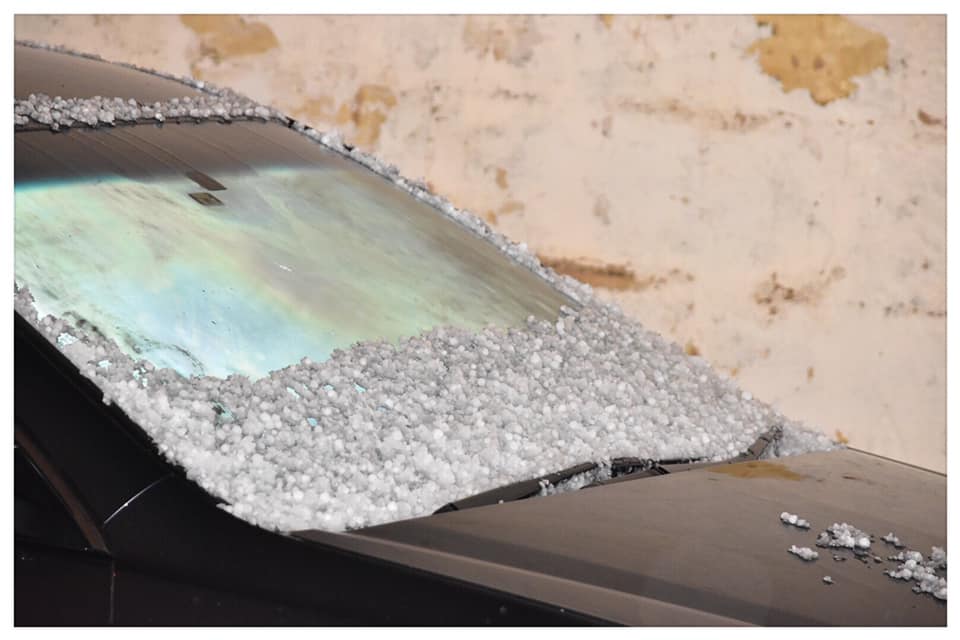
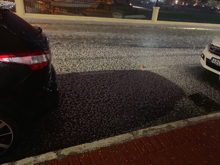
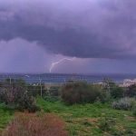
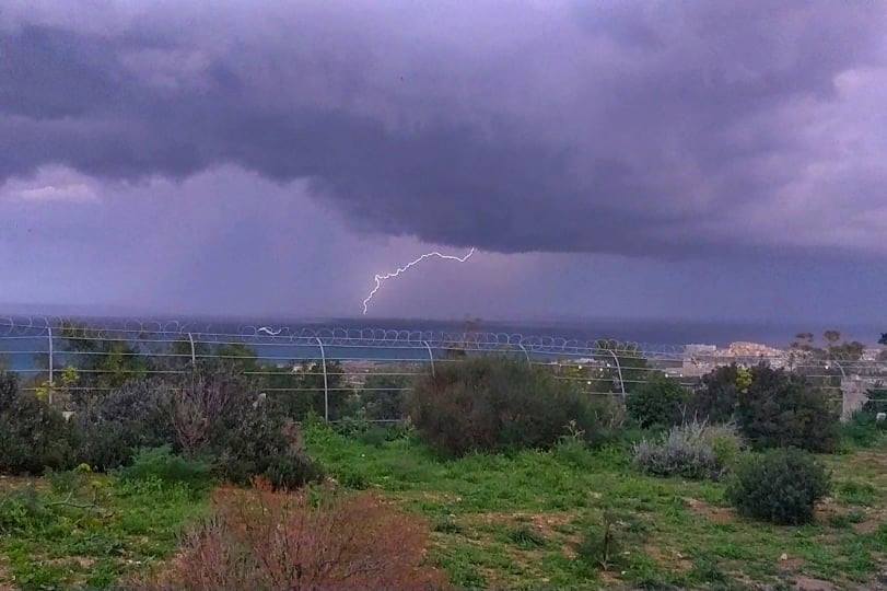
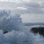
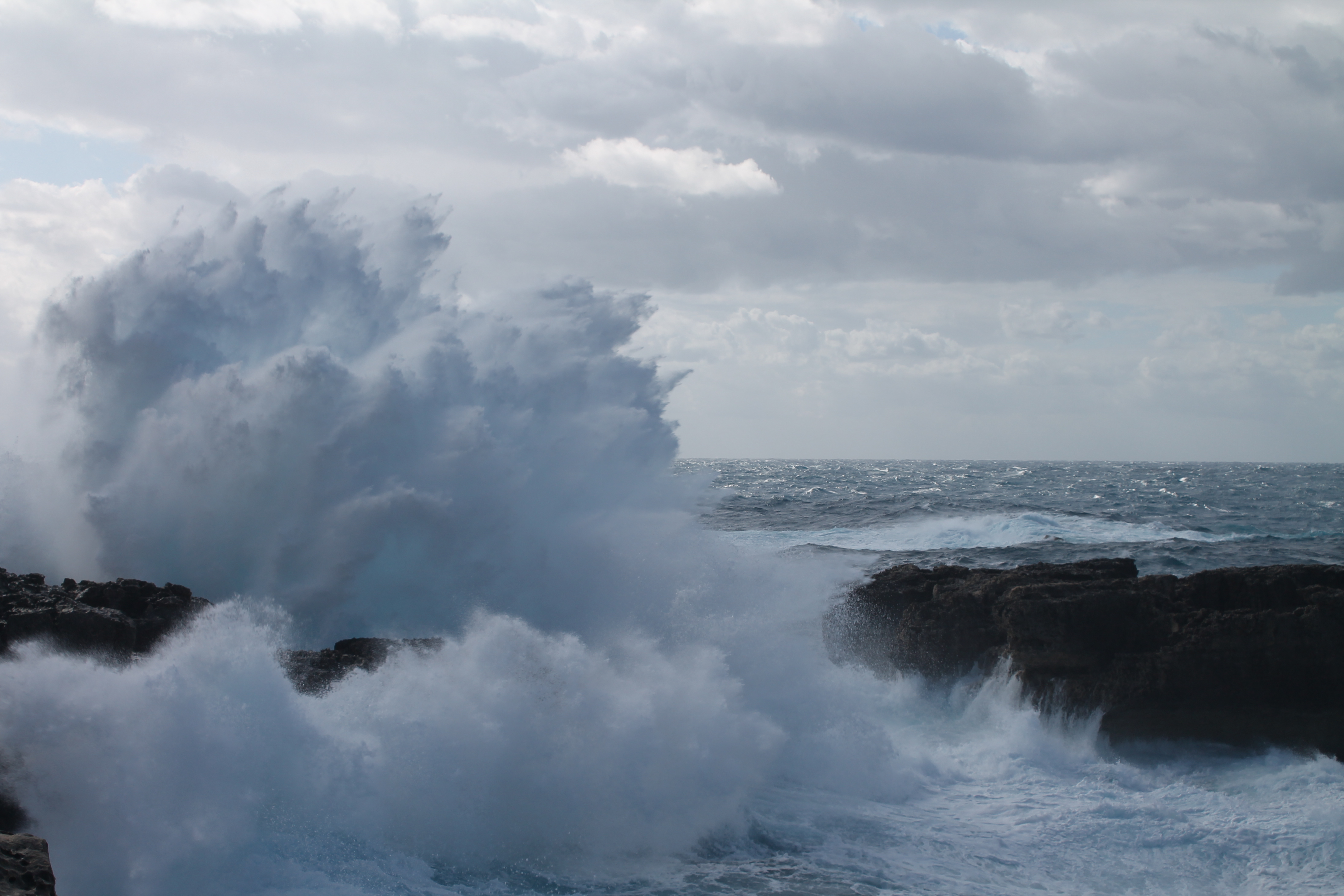
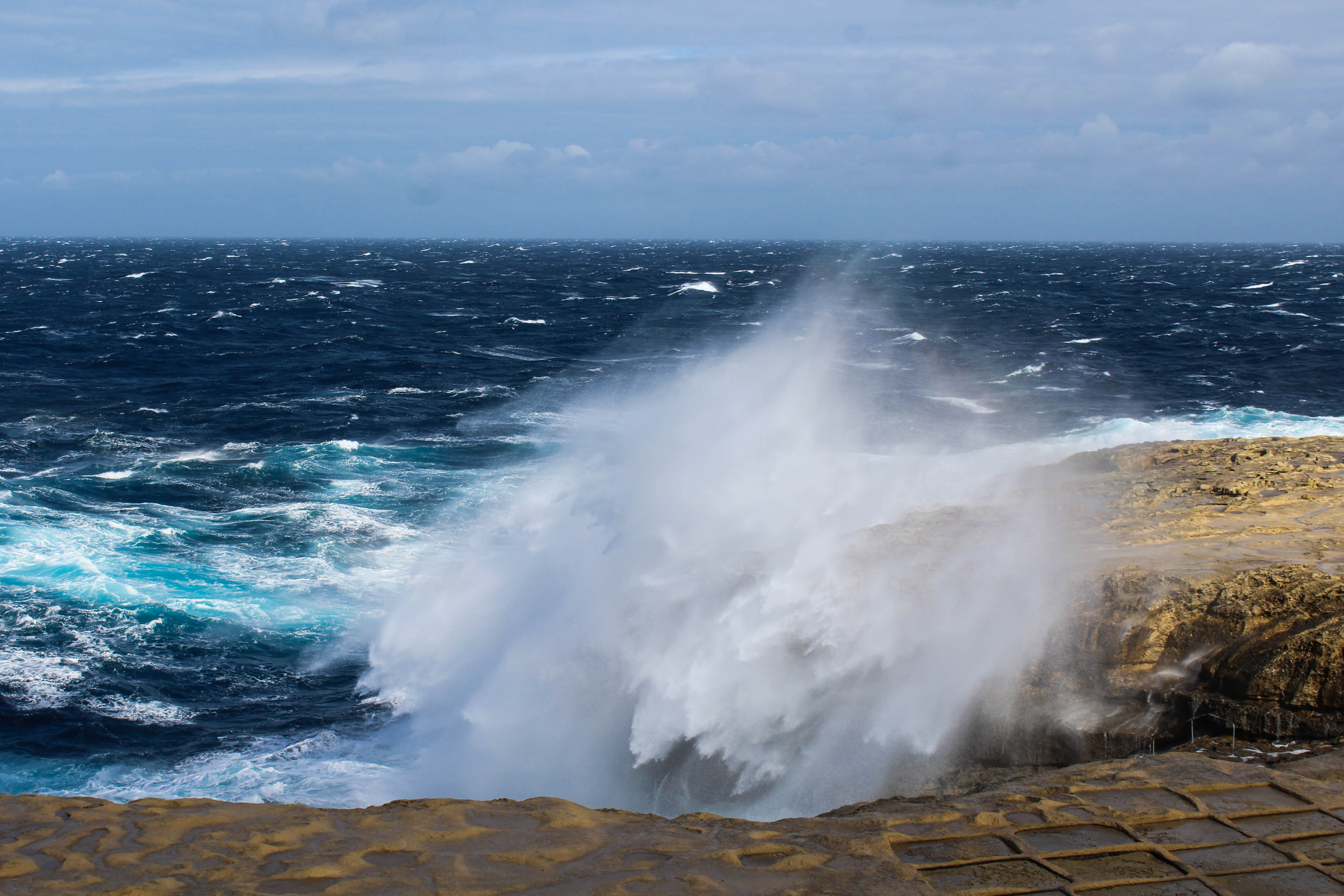
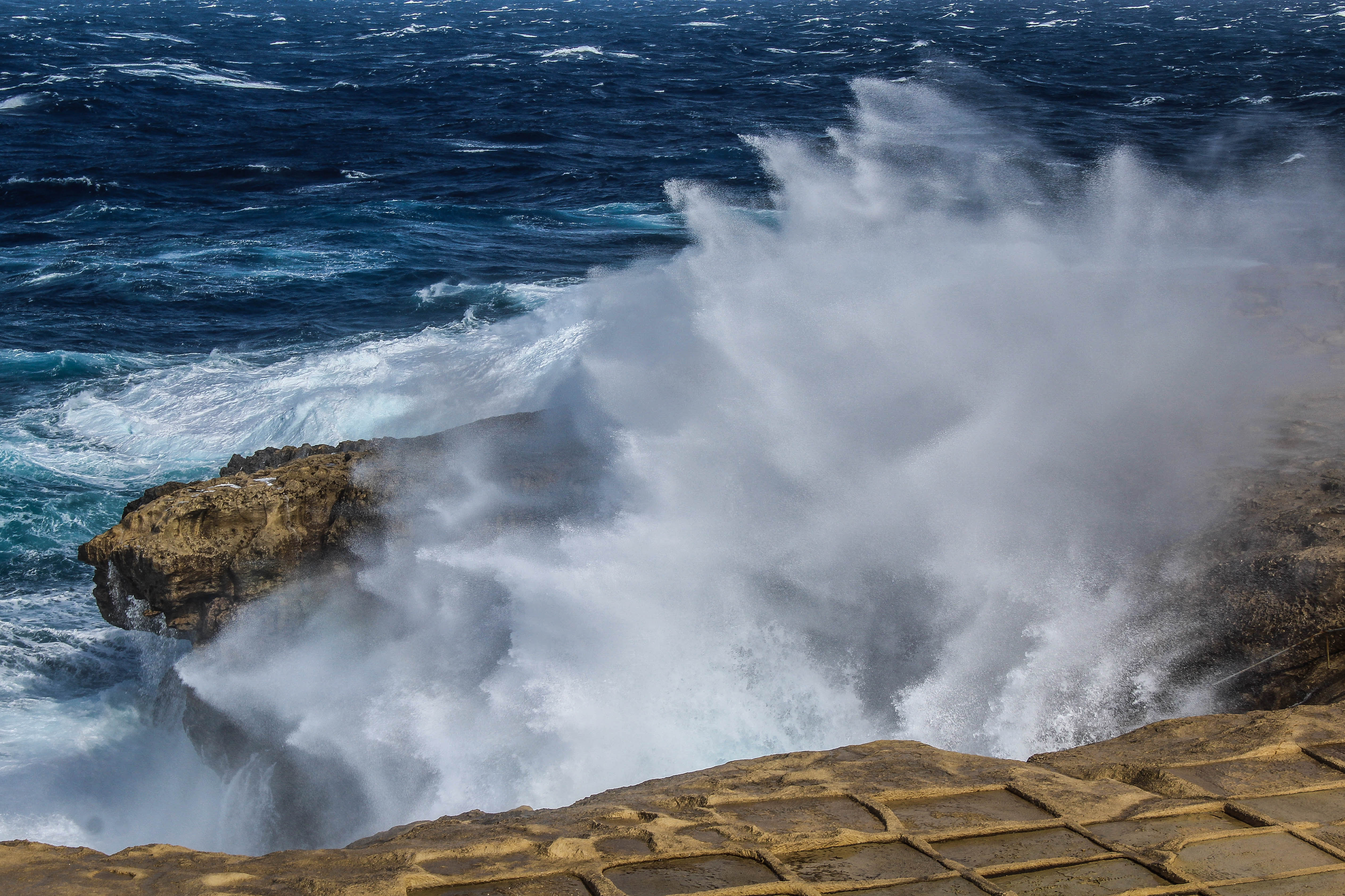
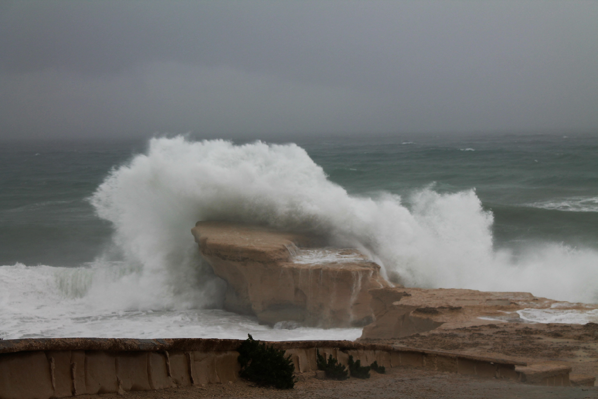
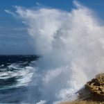
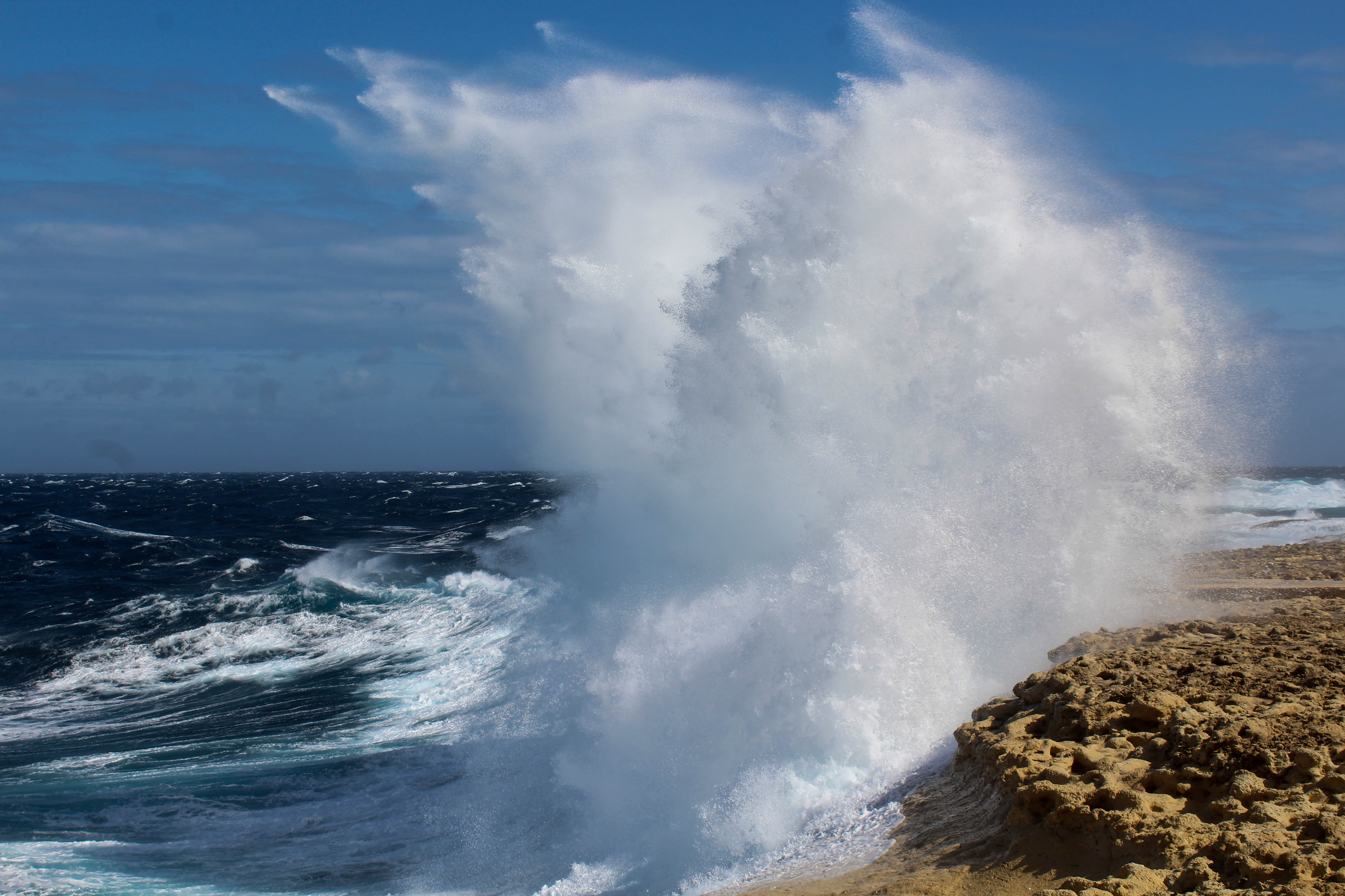
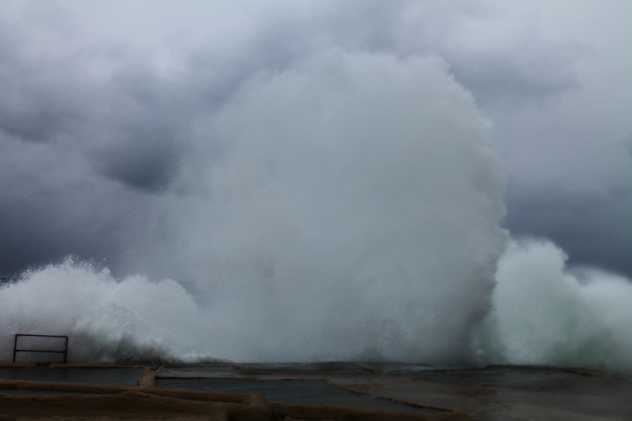
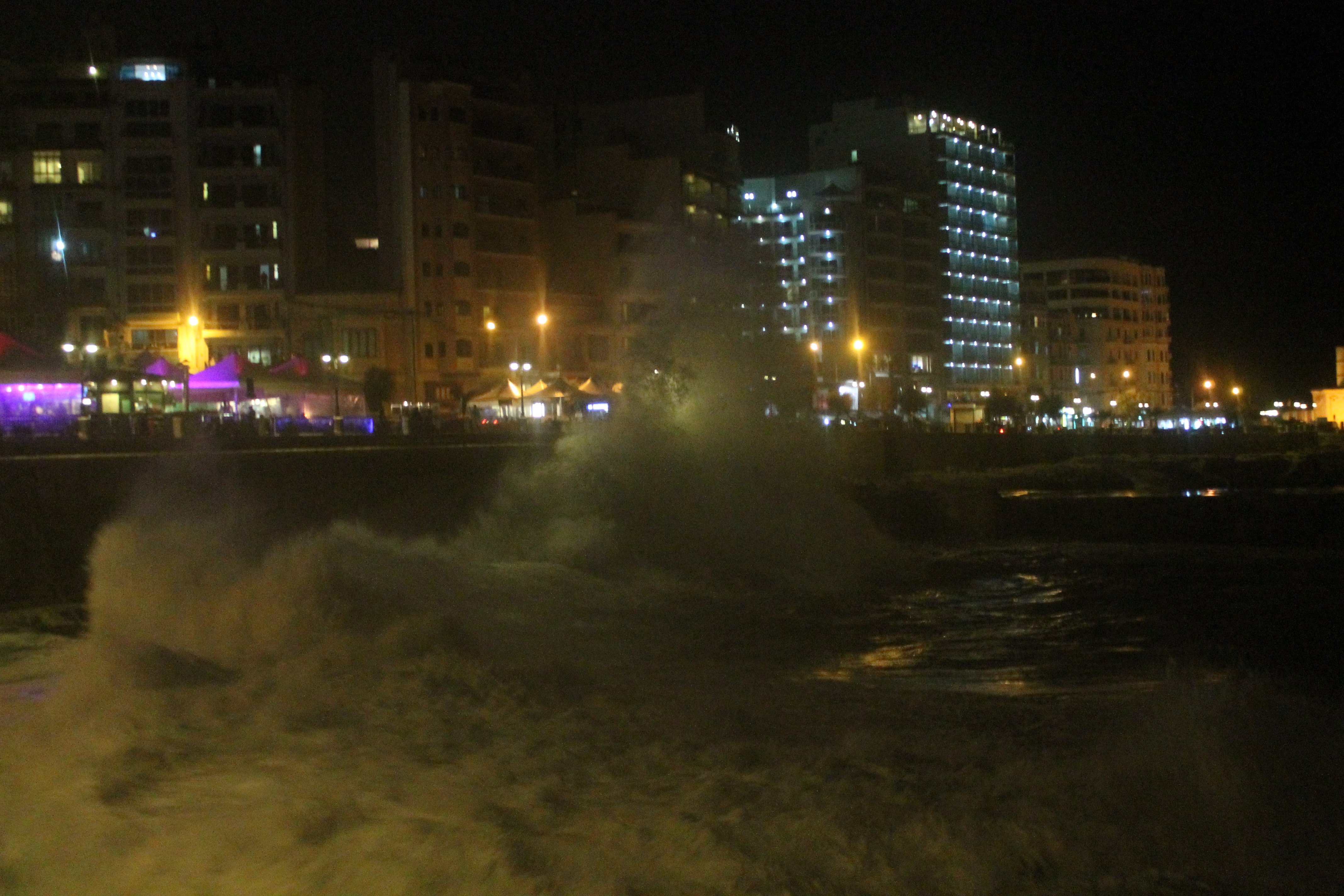
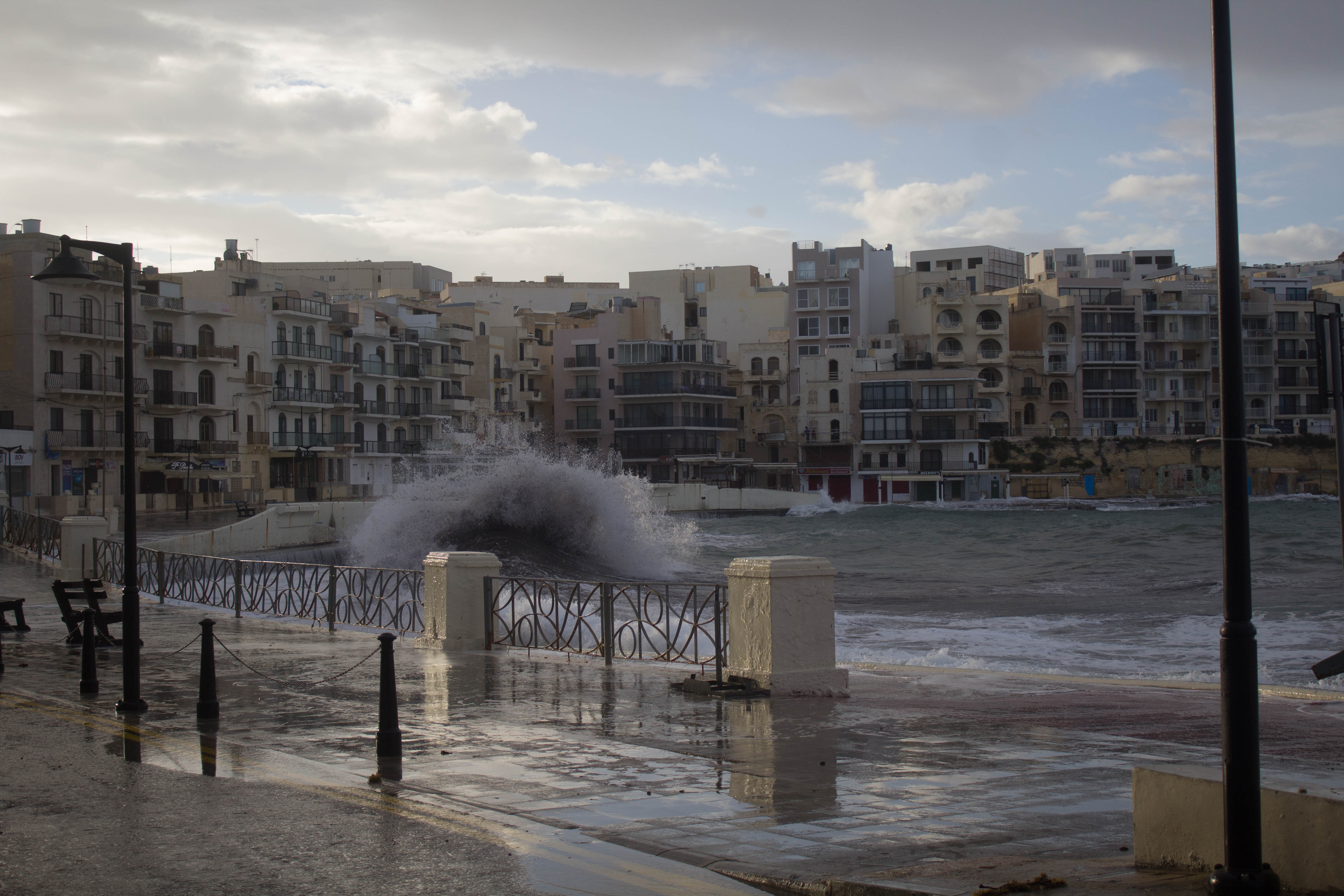
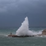
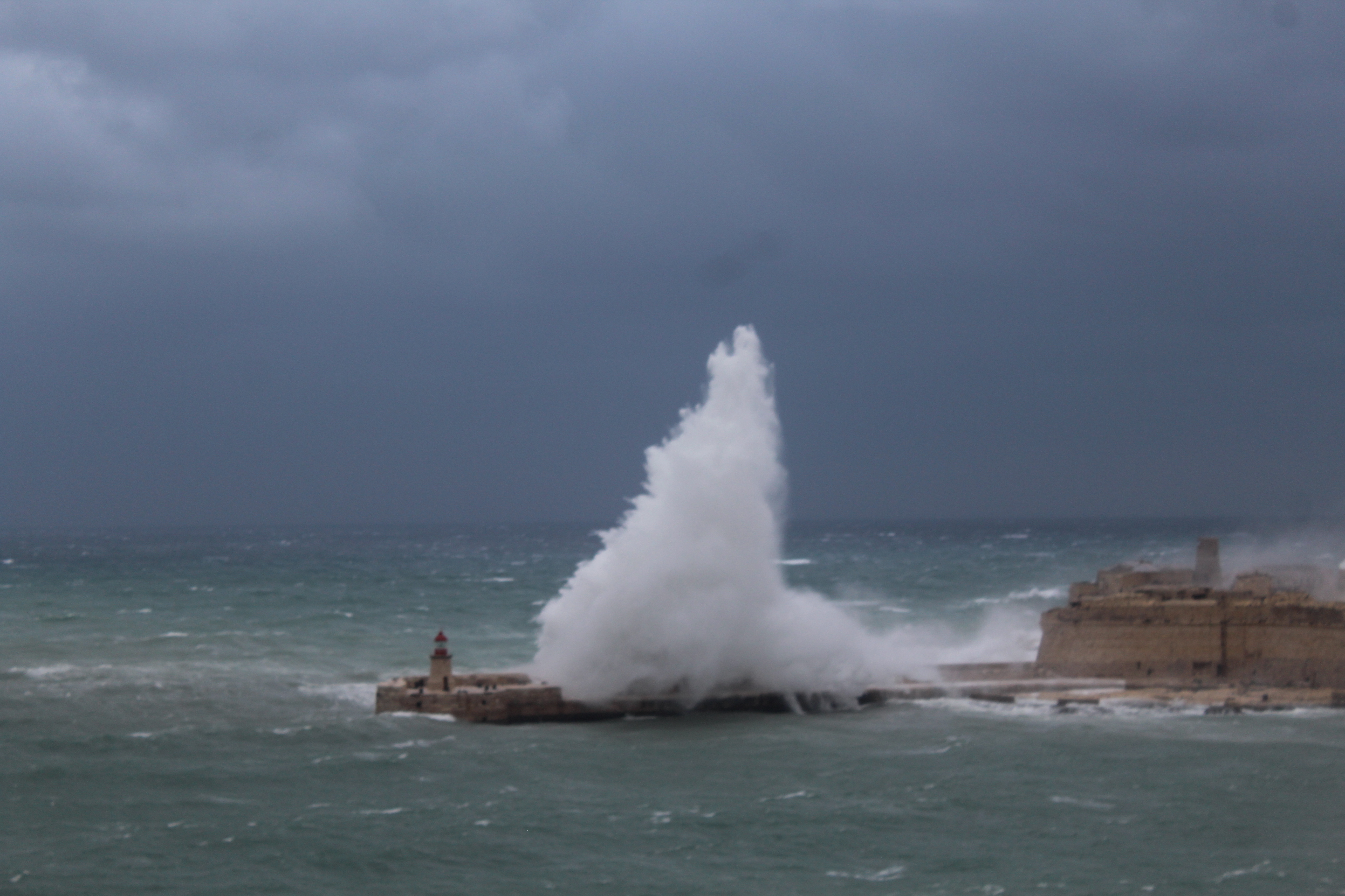
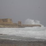
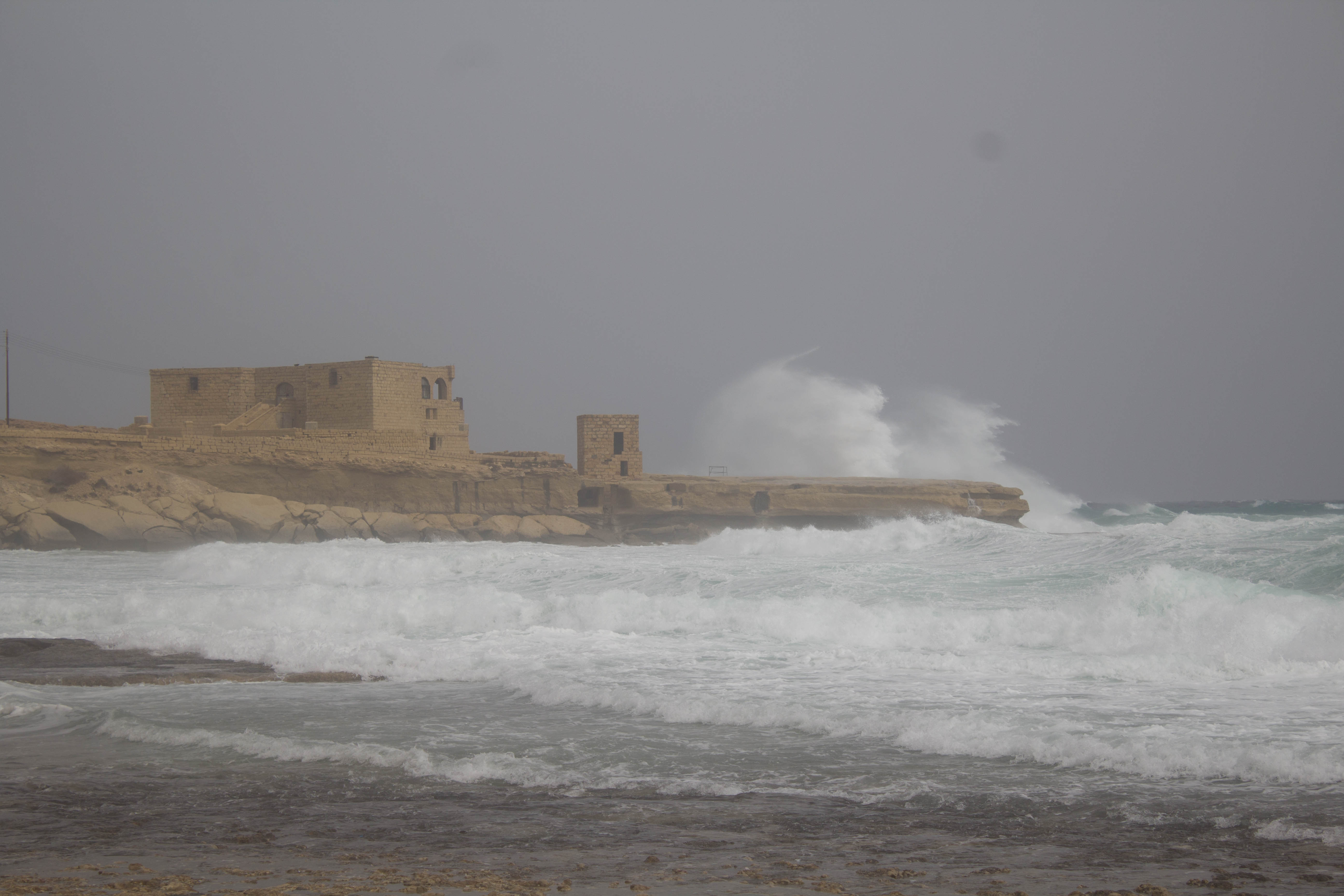
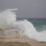
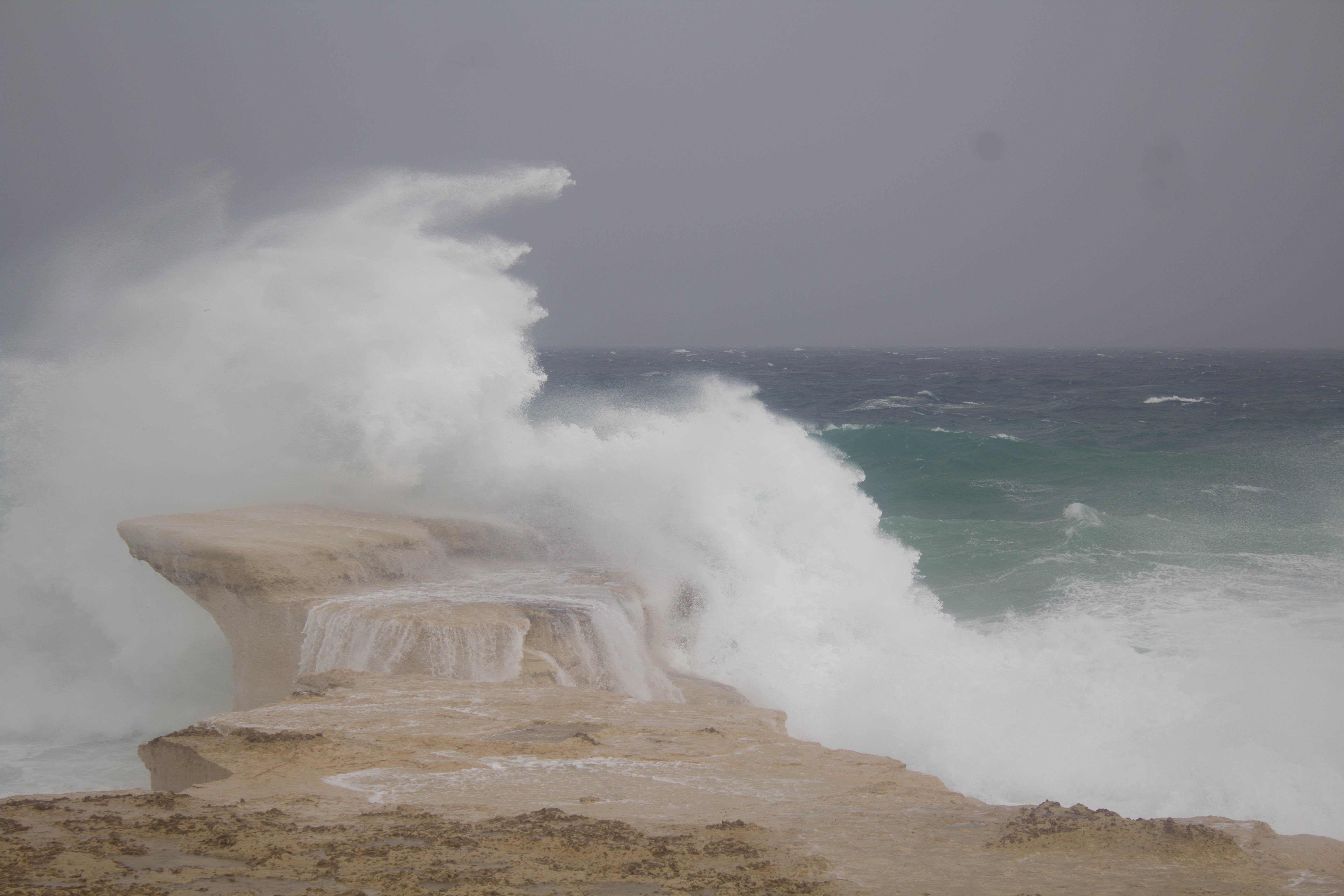
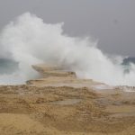
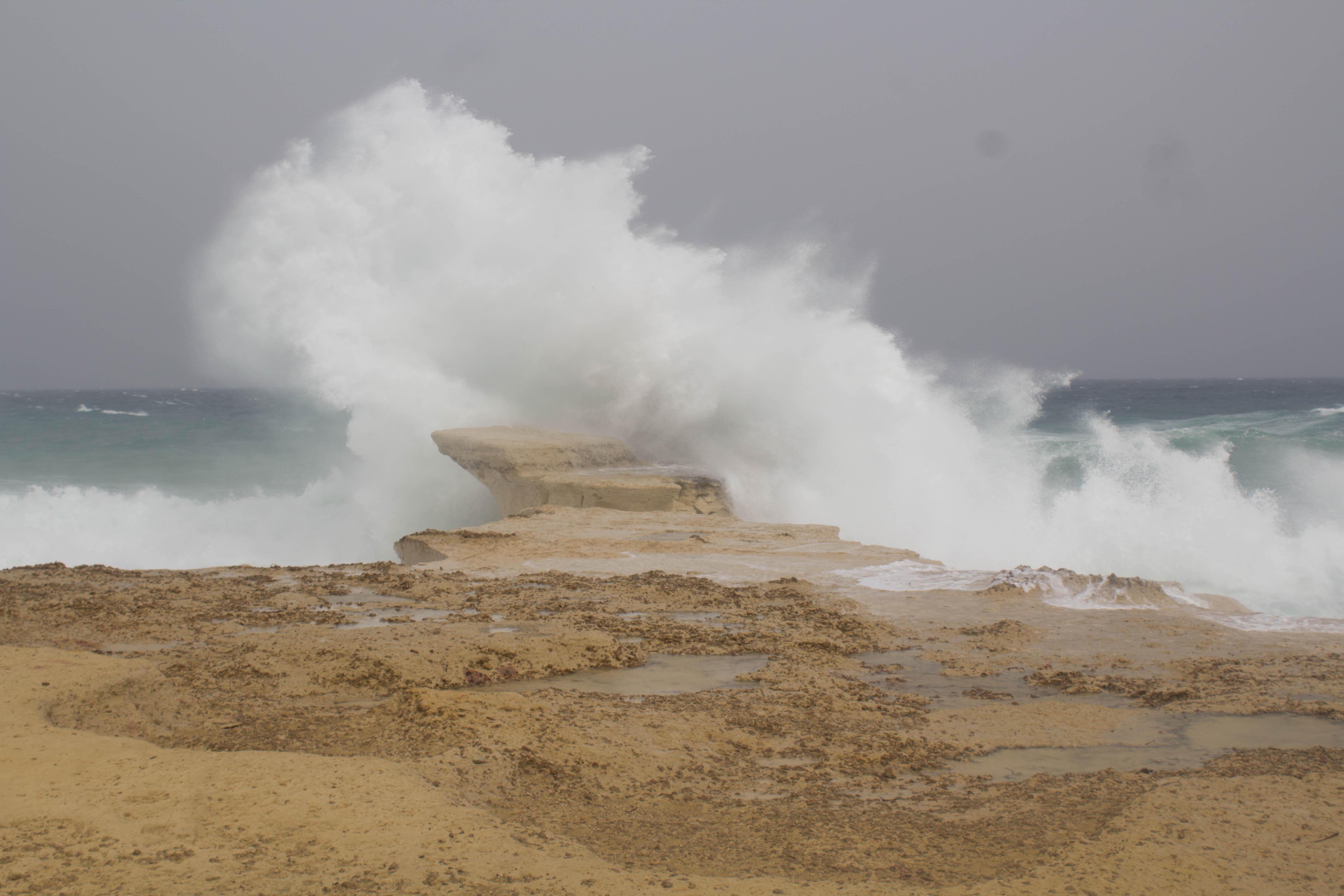
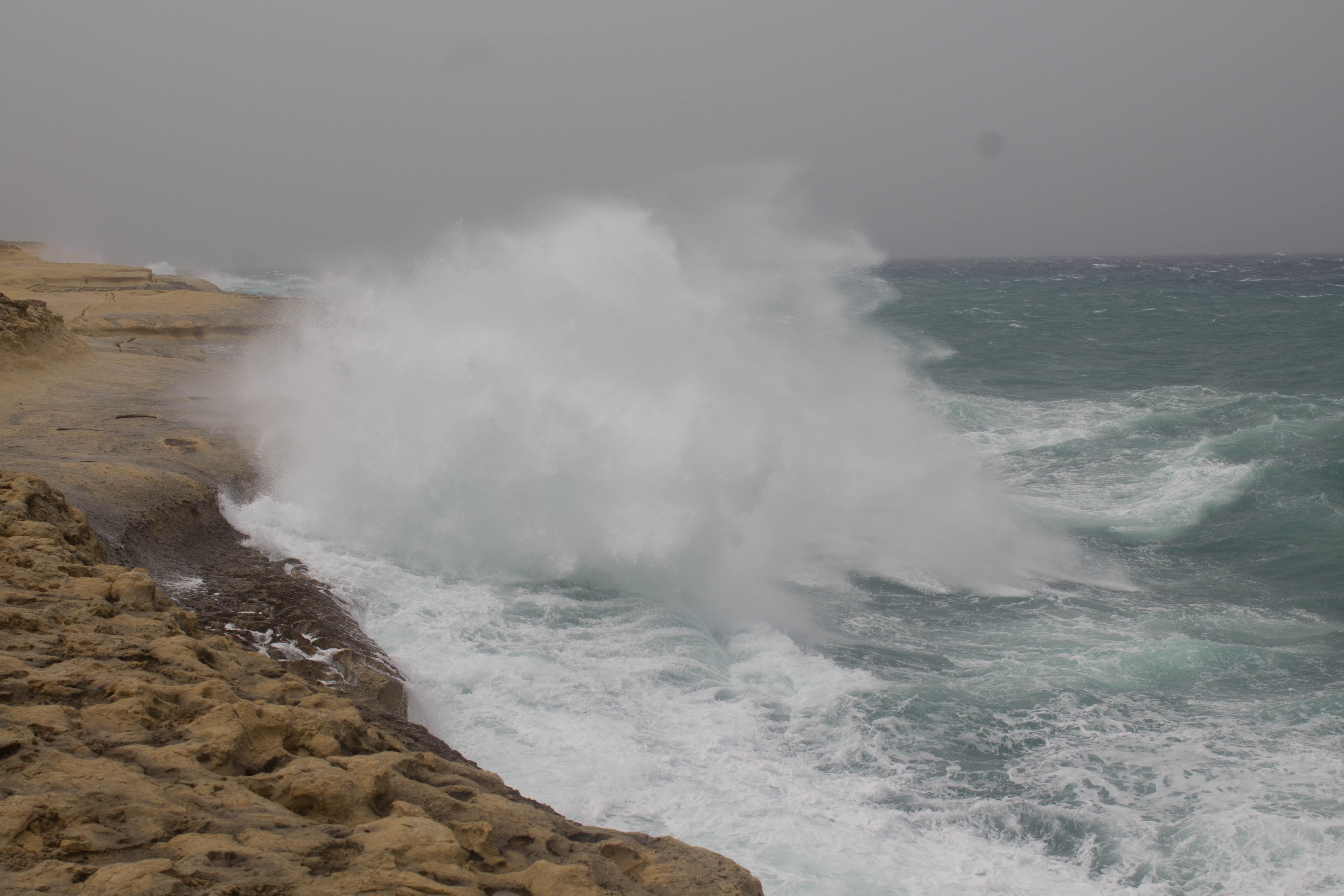
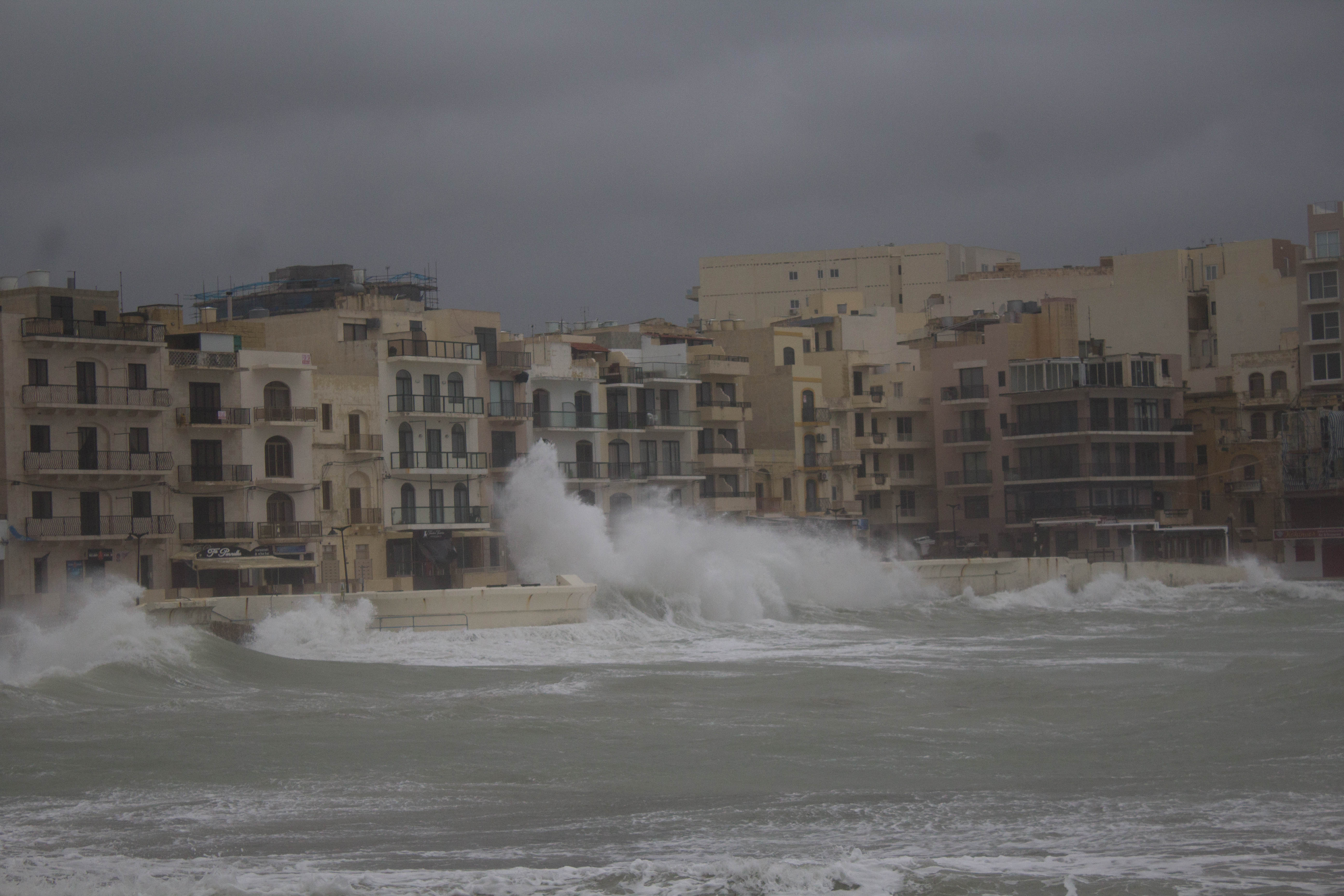
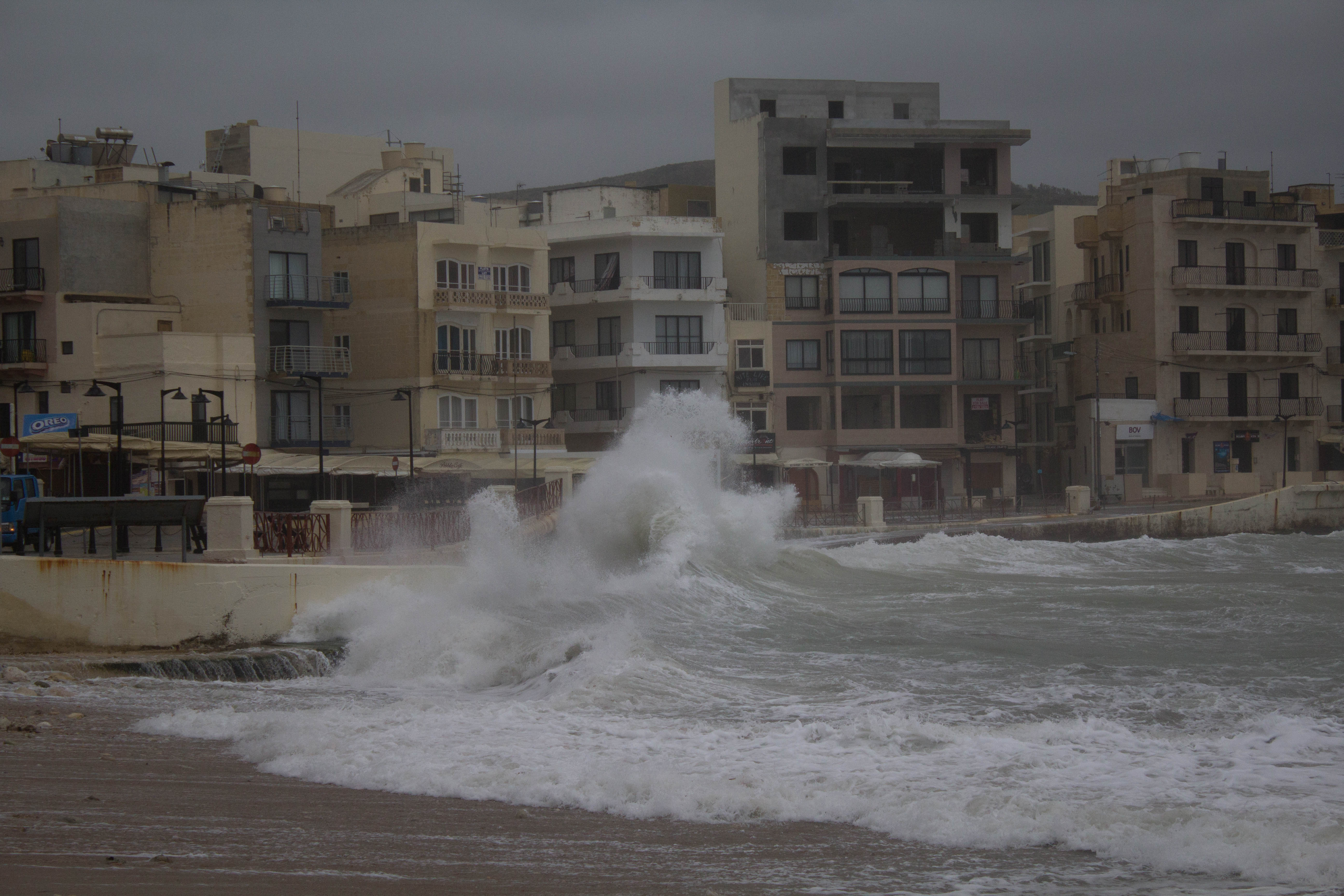
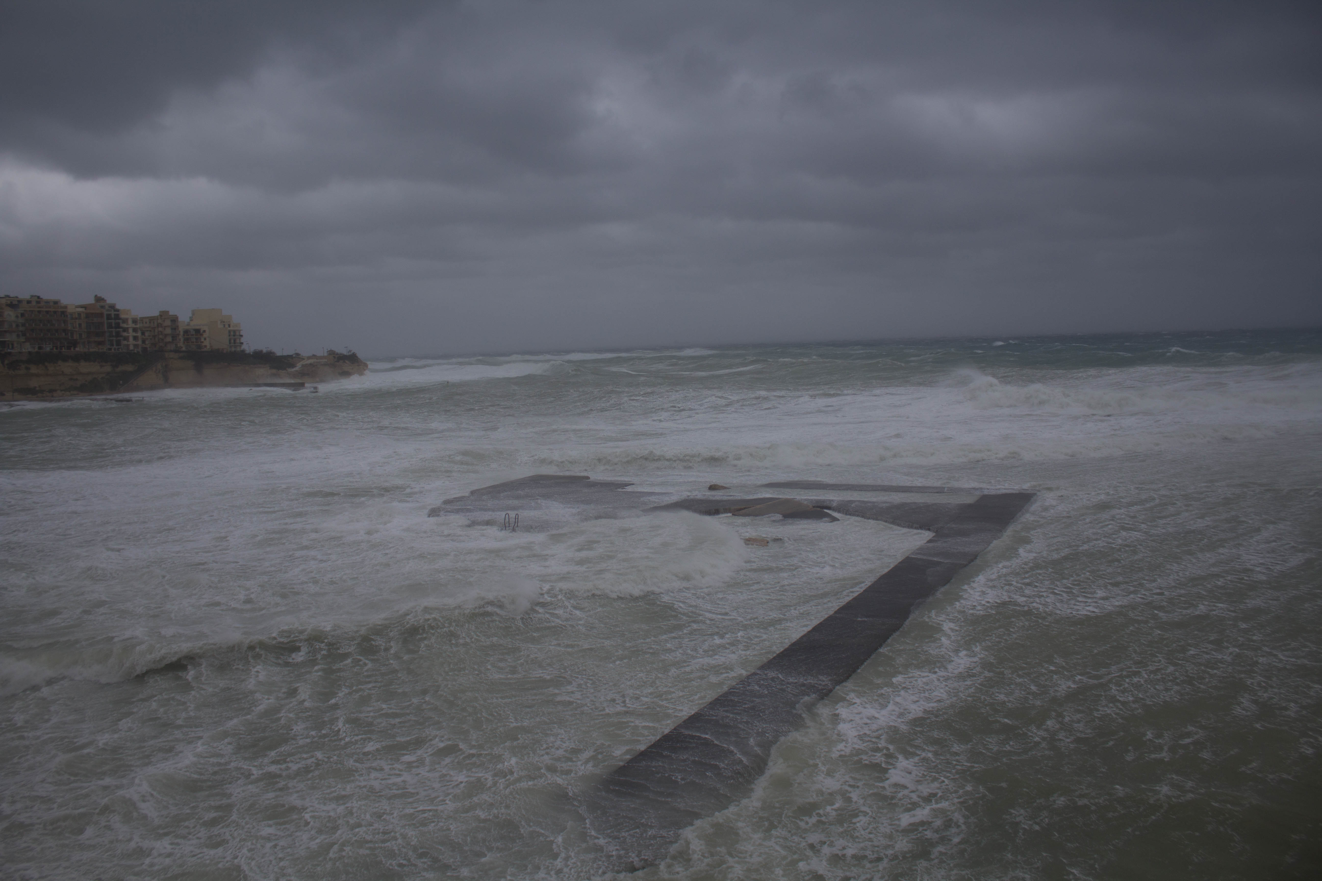
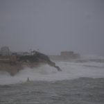
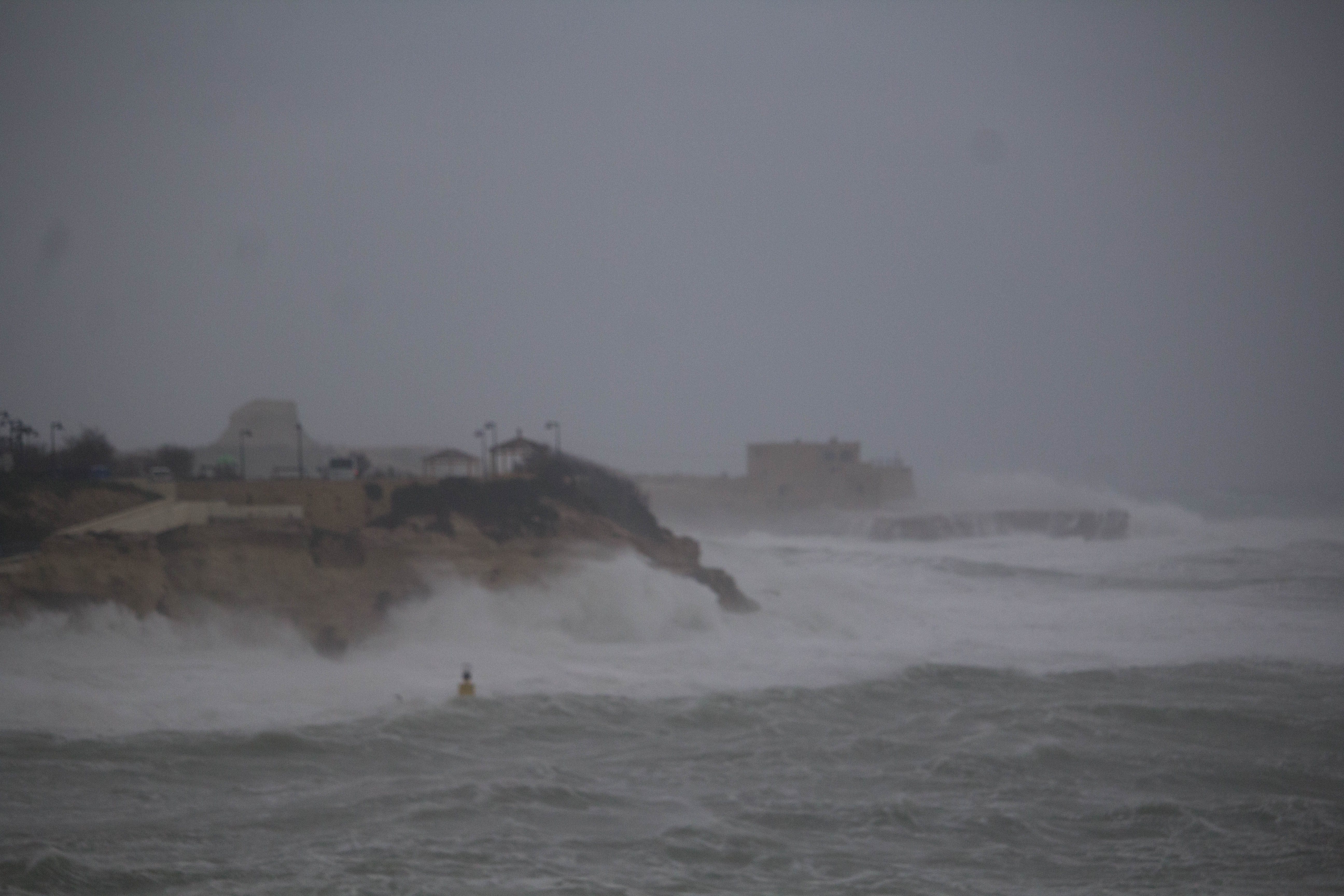
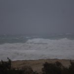
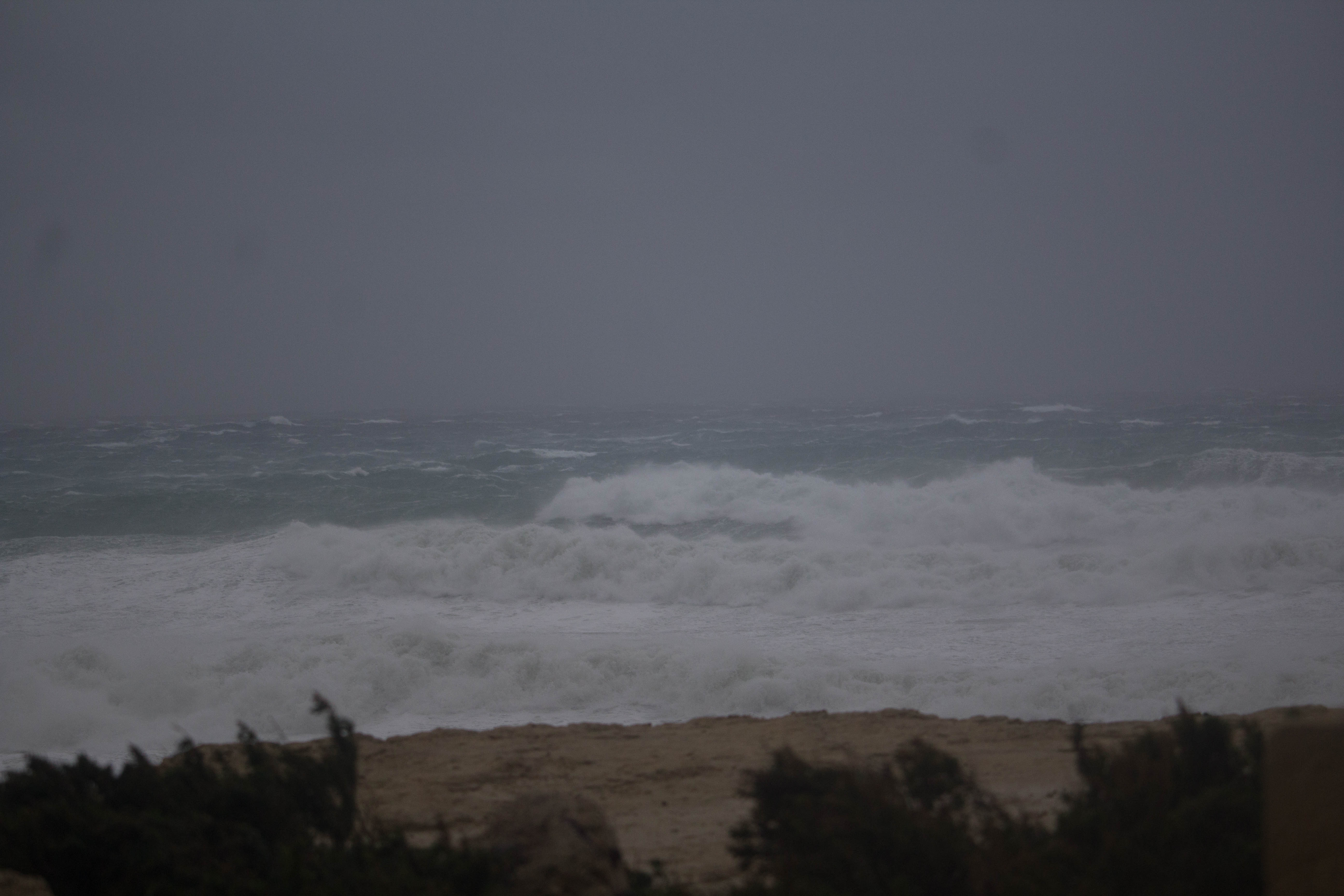
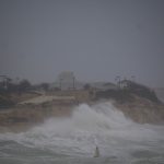
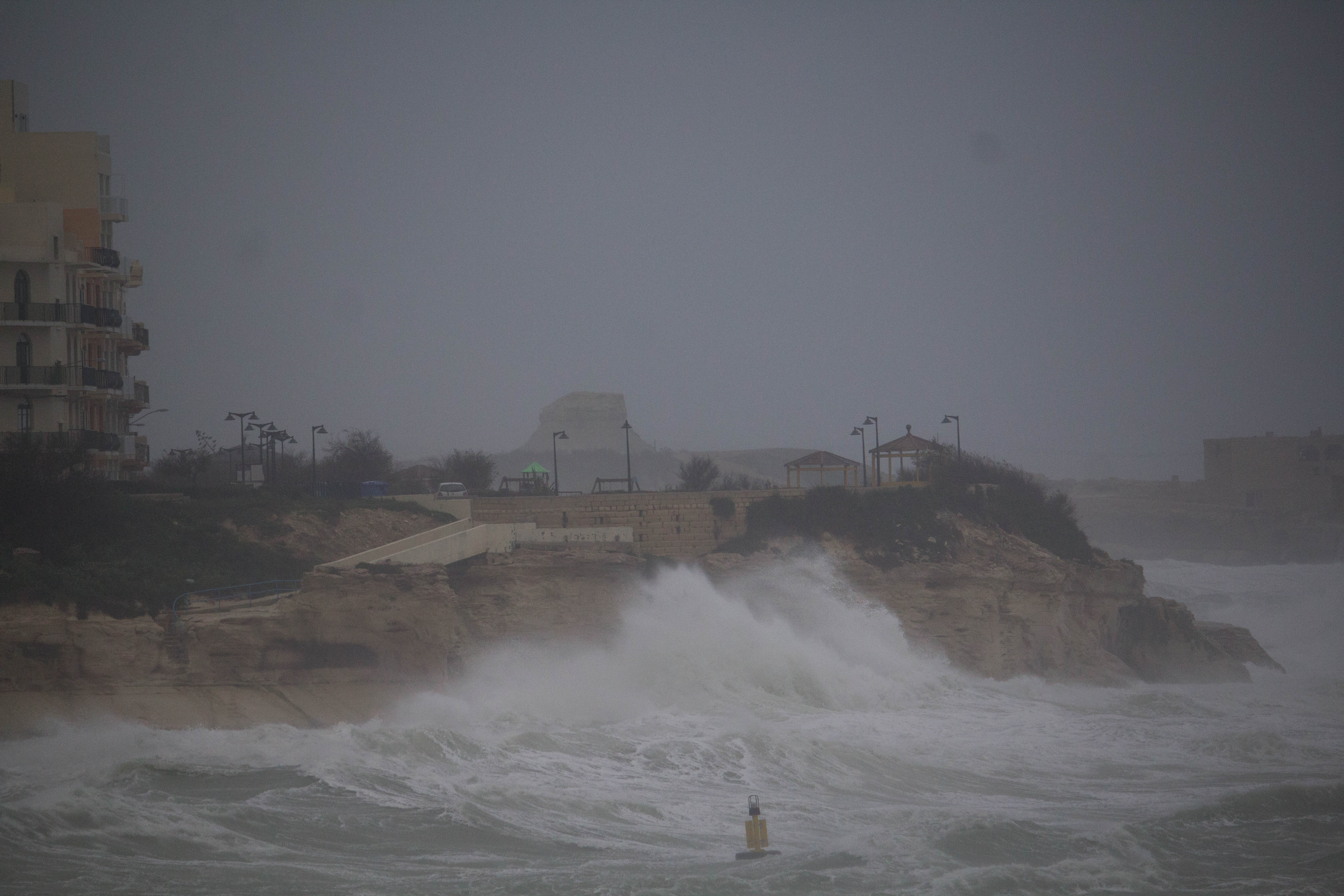
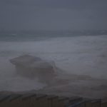
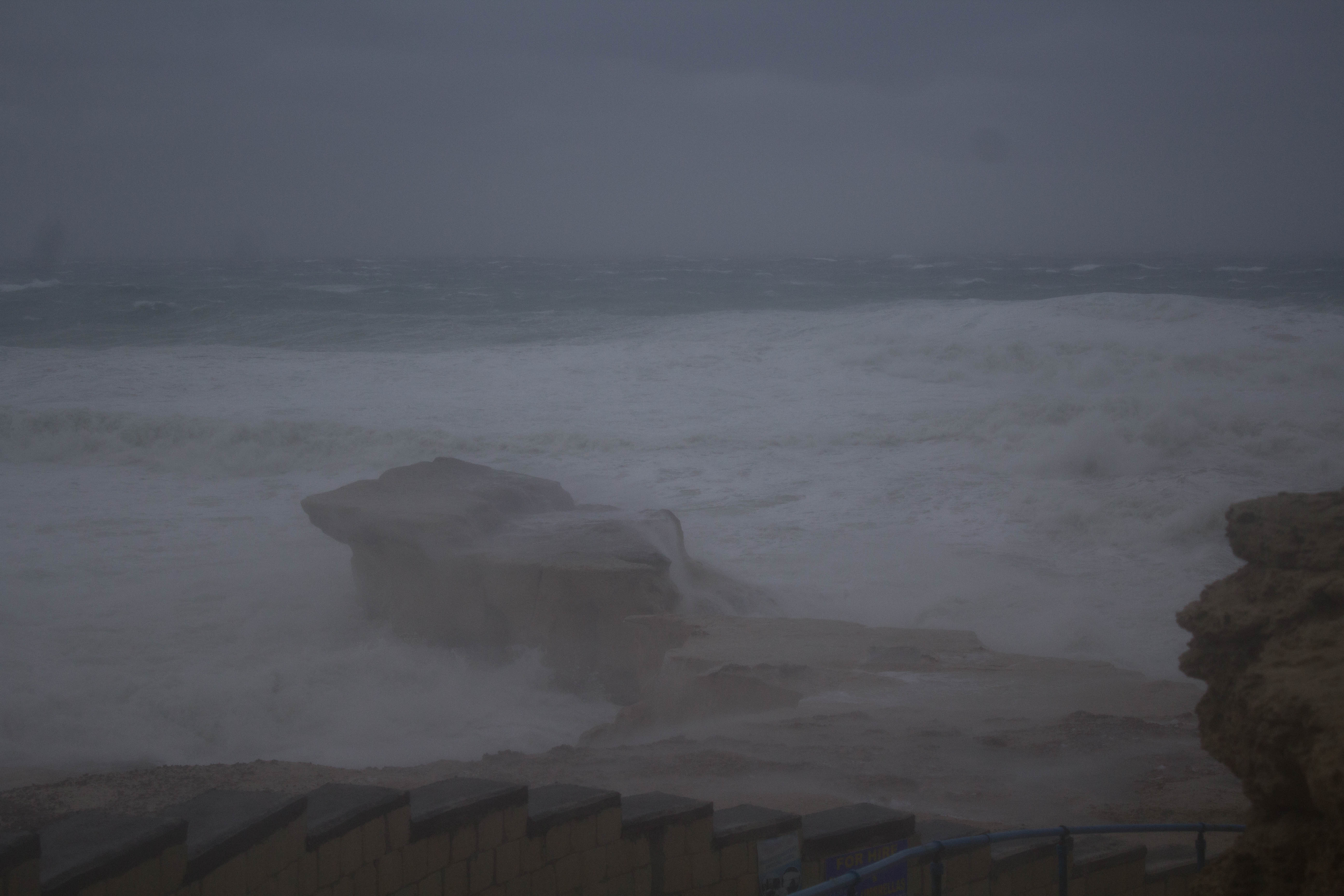
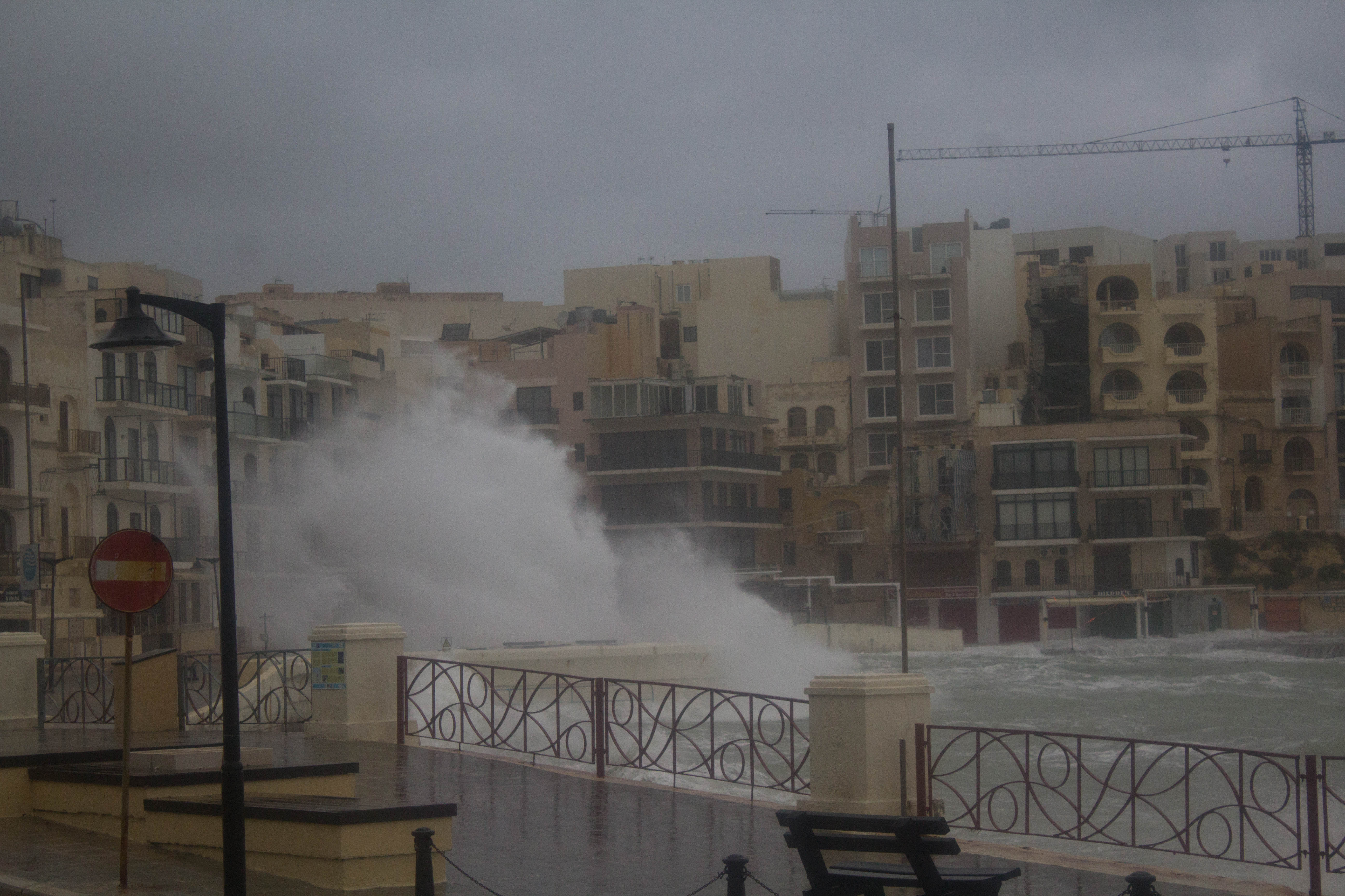
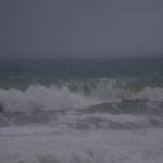
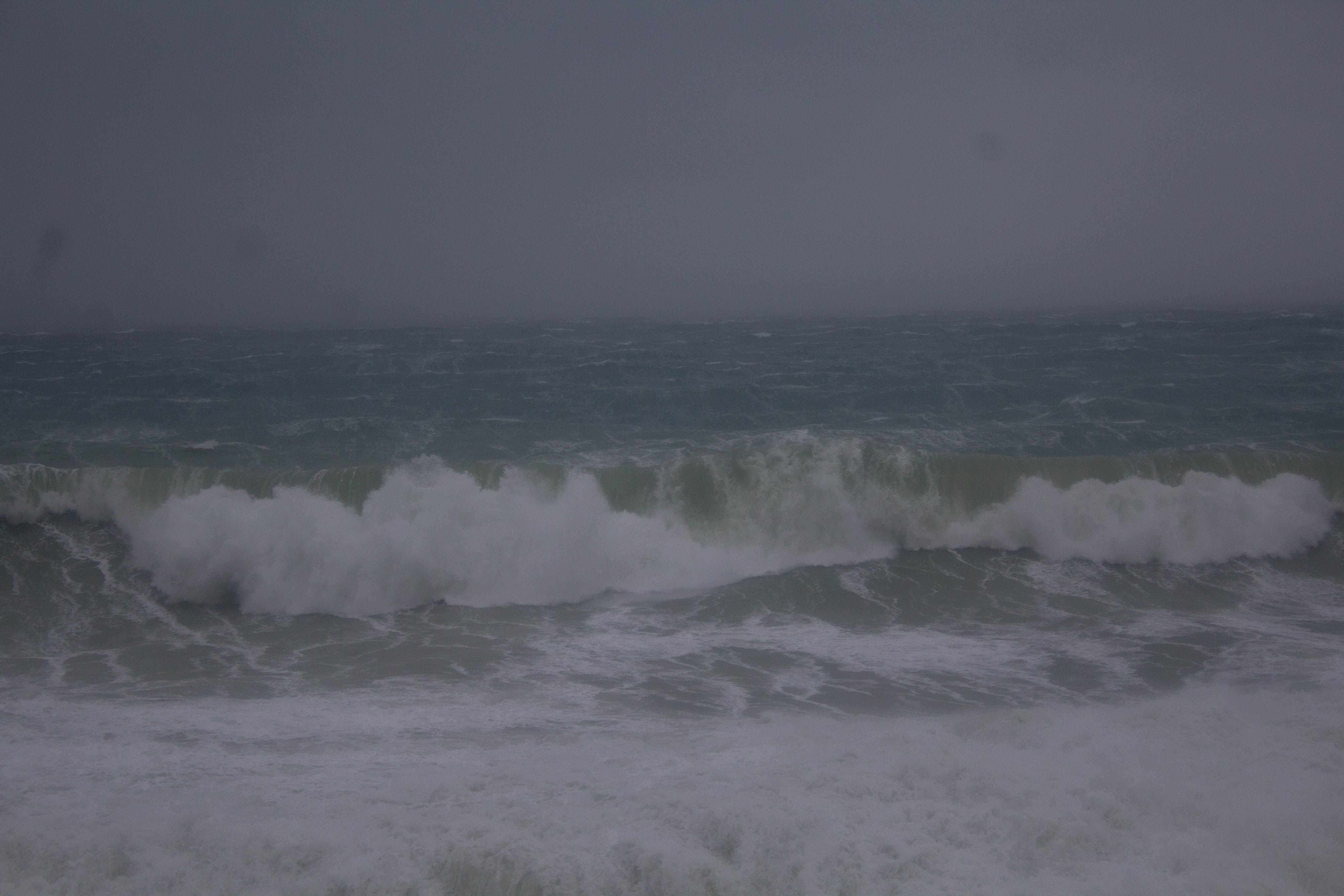
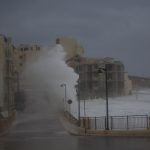
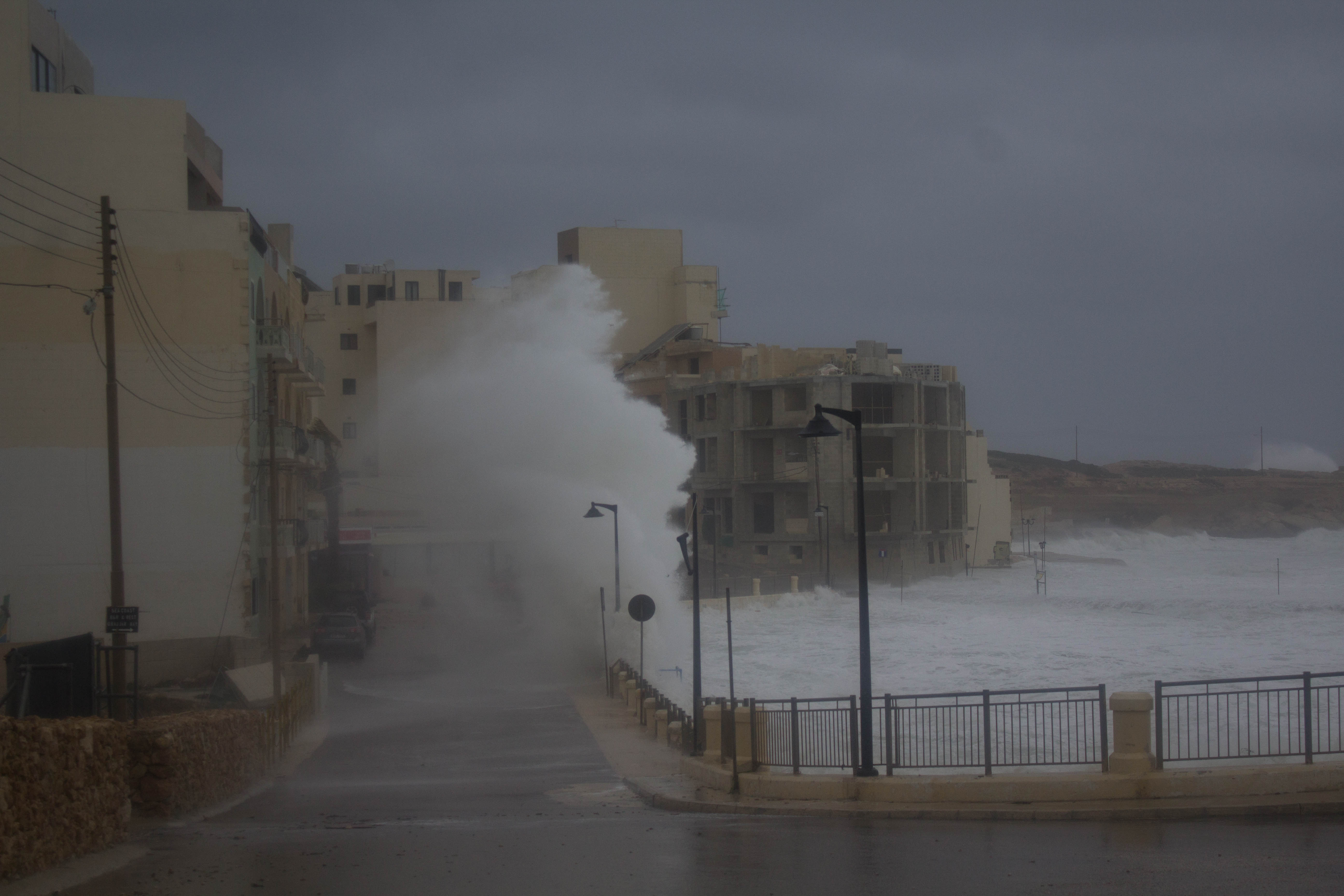
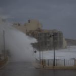
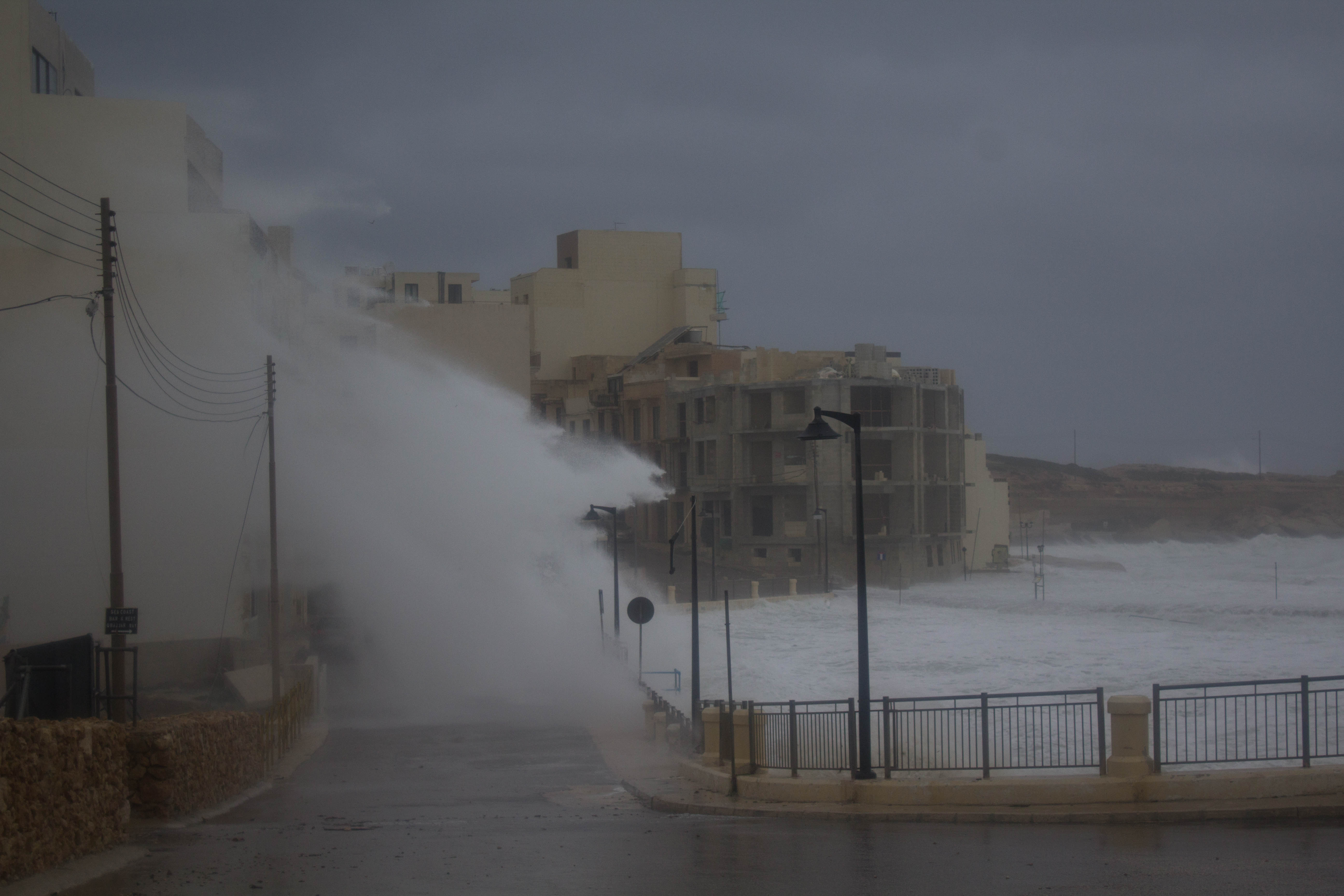
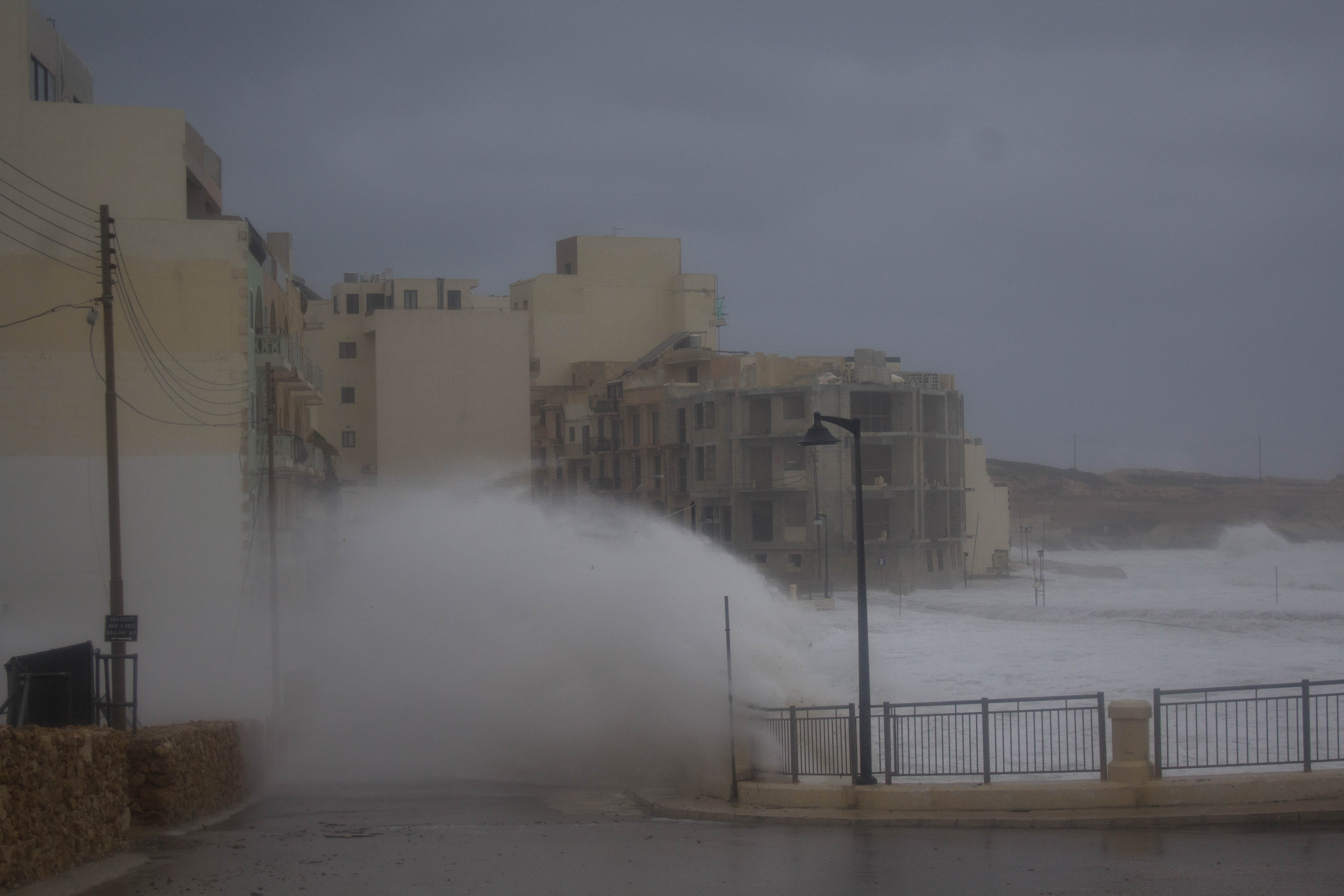
The Mediterranean Cyclone affected Malta from late on Saturday 23/02 and lasted till late on Sunday 24/02 . As the cyclone made its way towards Malta, the islands were affected by several bands of convection located around the storm’s center. These produced heavy rain and thunderstorms. Some of the thunderstorms were very strong with severe gusts, moderate hail and funnel events. The storm generated waves of up to 10.1 metres and a storm surge.
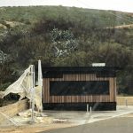
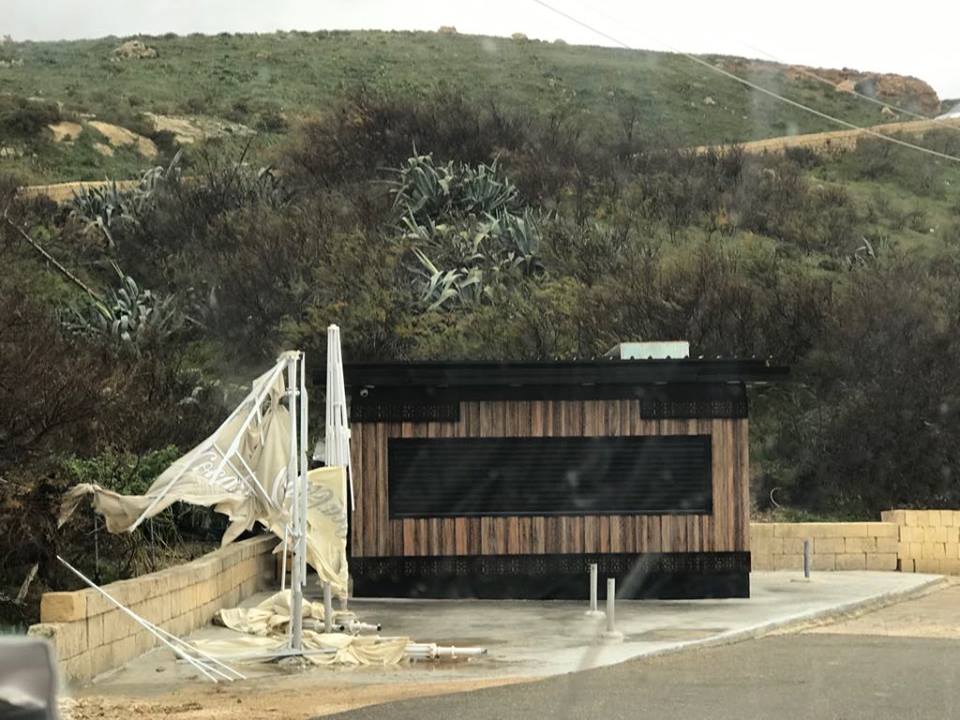
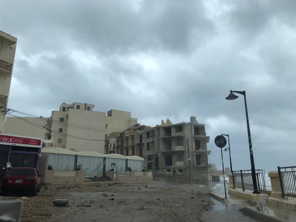
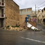
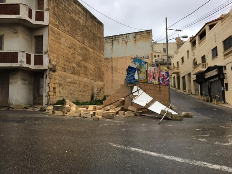
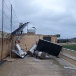
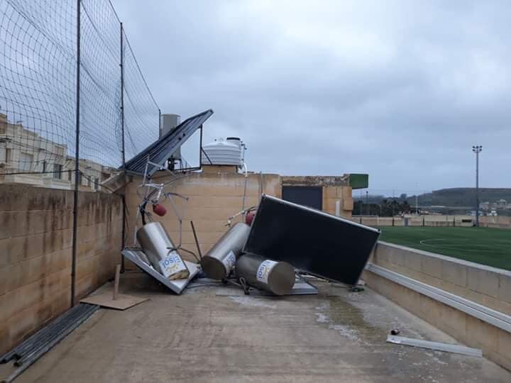
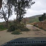
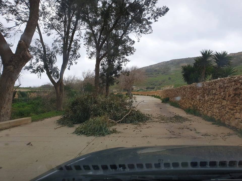
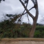
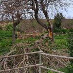
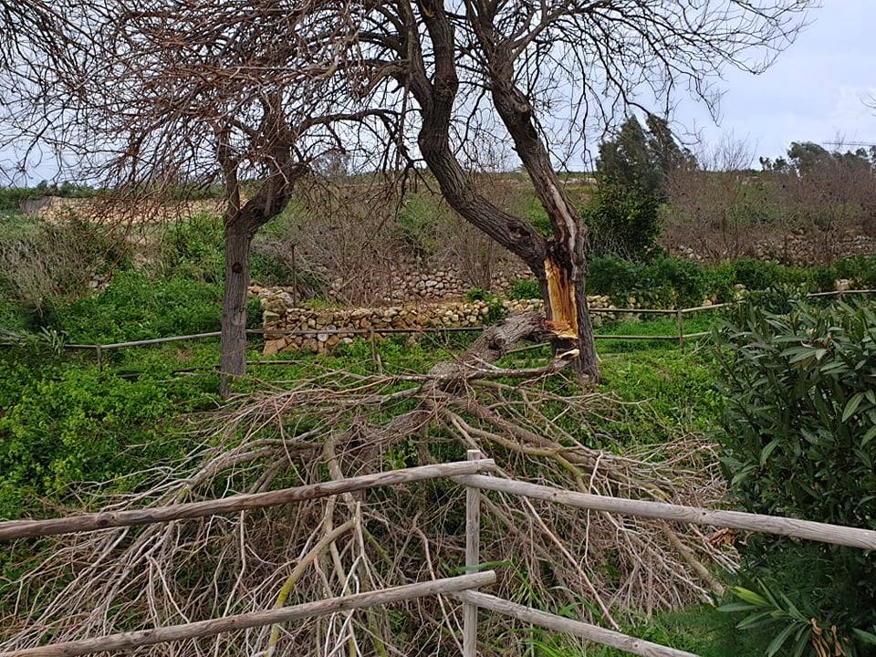
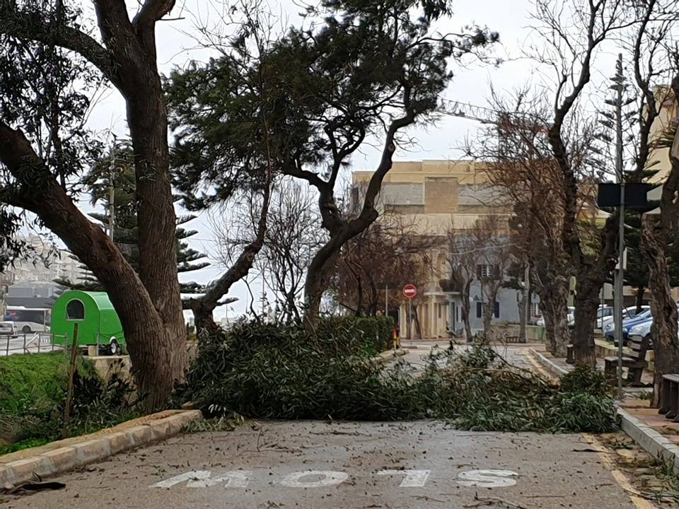
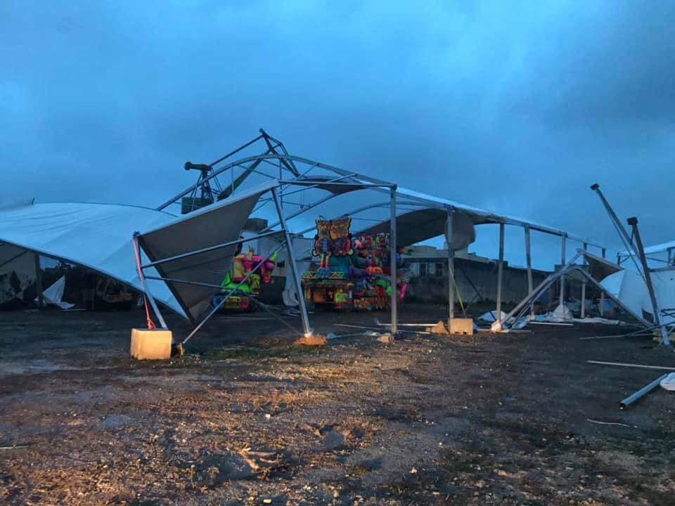
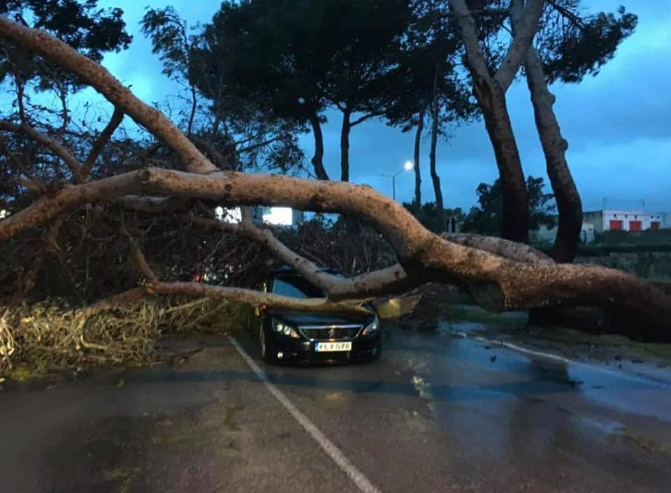
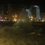
According to weather stations, close to 100 mm of rain was measured in less than 24 hours in the worst hit areas. The storm-force winds produced substantial damage. The damage included uprooted trees, collapsed walls and downed power lines. The latter caused lengthy power-cuts in some areas. A number of areas suffered extensive flooding high enough to carry cars in some areas. The very high waves and storm surge caused great damage to coastal resorts, leading to a number of small sandy beaches being washed away.
-
- Michele Scicluna
-
- Michele Scicluna
-
- Michele Scicluna
-
- Andrea Muscat
-

- Michele Scicluna
-
- Andrea Muscat
-
- Newswebsites
-

- News websites

-
- News websites
-
- News Websites
-
- News Websites
-
- Andrea Muscat
-
- Andrea Muscat

-
- Andea Muscat
-
- Andrea Muscat
-

- News Websites
-

- Julian Bonello
-

- News websites
-

- Jean Pierre
-

- Annelise Camilleri
-

- Marianne Mallia
-
- Kurt Camilleri
-
- Andrea Muscat
-
- Andrea Muscat
-
- Andrea Muscat
-
- Andrea Muscat
-
- Andrea Muscat
-
- Andrea Muscat
-
- Andrea Muscat
-
- Andrea Muscat

-
- Andrea Muscat
-
- Andrea Muscat
-
- Andrea Muscat
-
- Andrea Muscat
-
- Andrea Muscat
-
- Andrea Muscat
-
- Andrea Muscat
-
- Andrea Muscat
-
- Andrea Muscat
-
- Andrea Muscat
-
- Andrea Muscat
-
- Andrea Muscat
-
- Andrea Muscat
-

- Andrea Muscat
-
- Andrea Muscat
-
- Andrea Muscat
-
- Andrea Muscat
-

- Andrea Muscat
0 comments
Write a comment