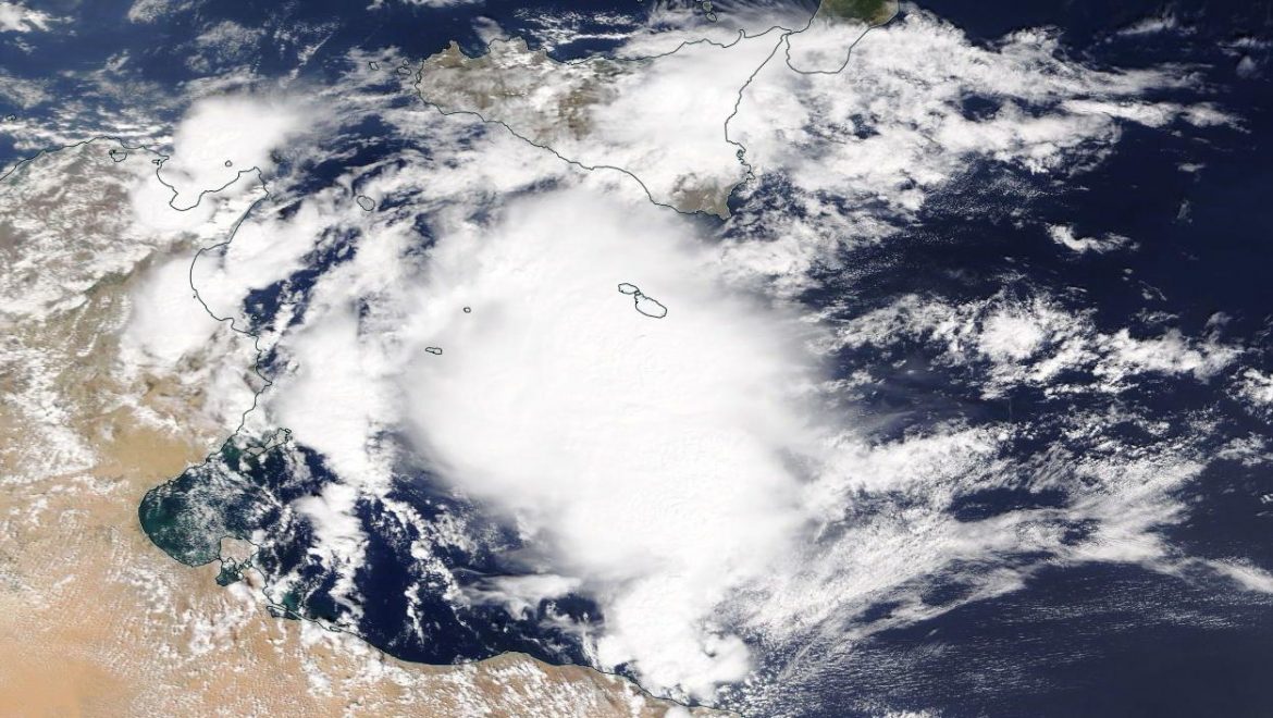
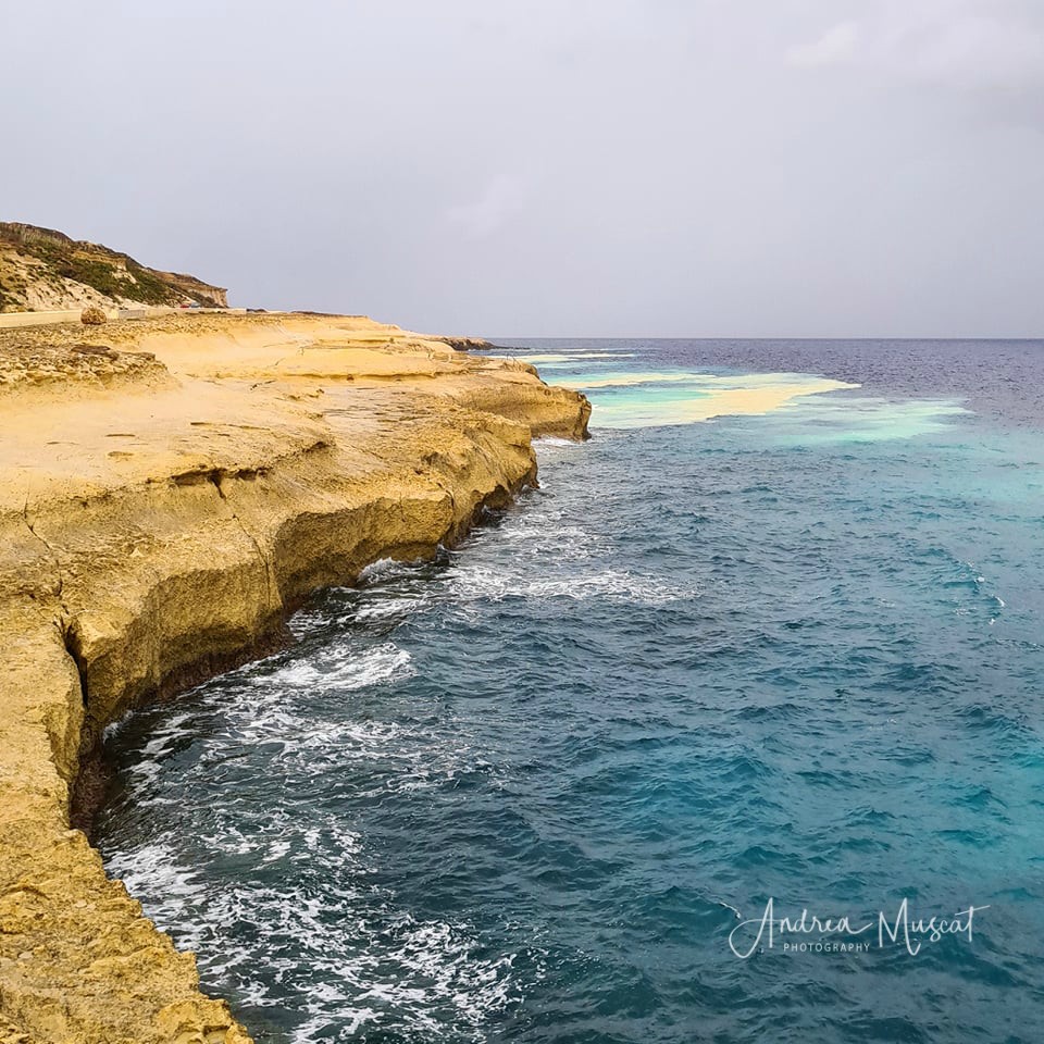
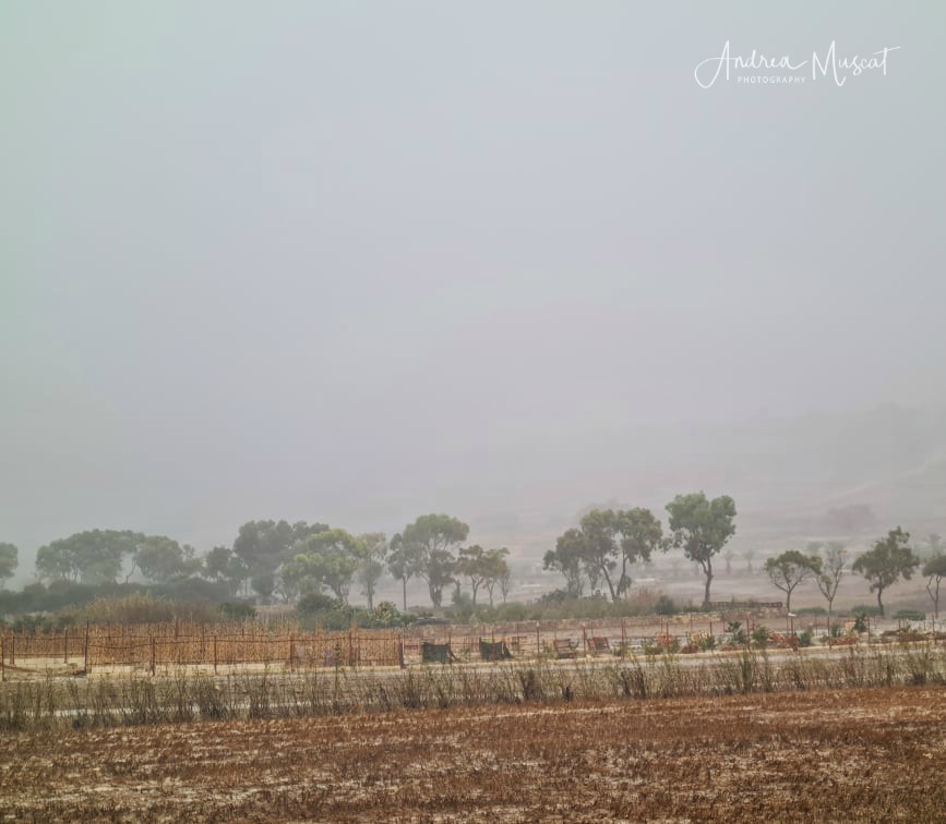
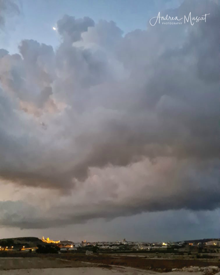
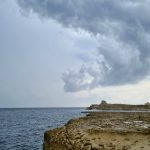
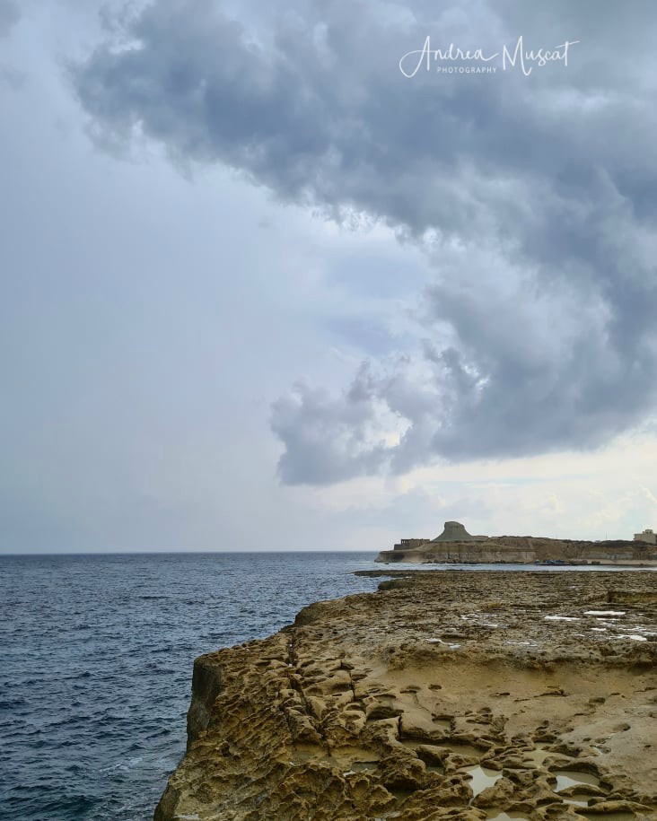
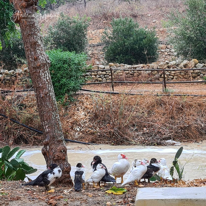
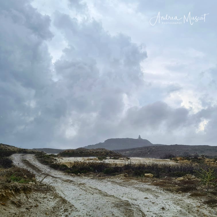
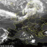
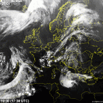
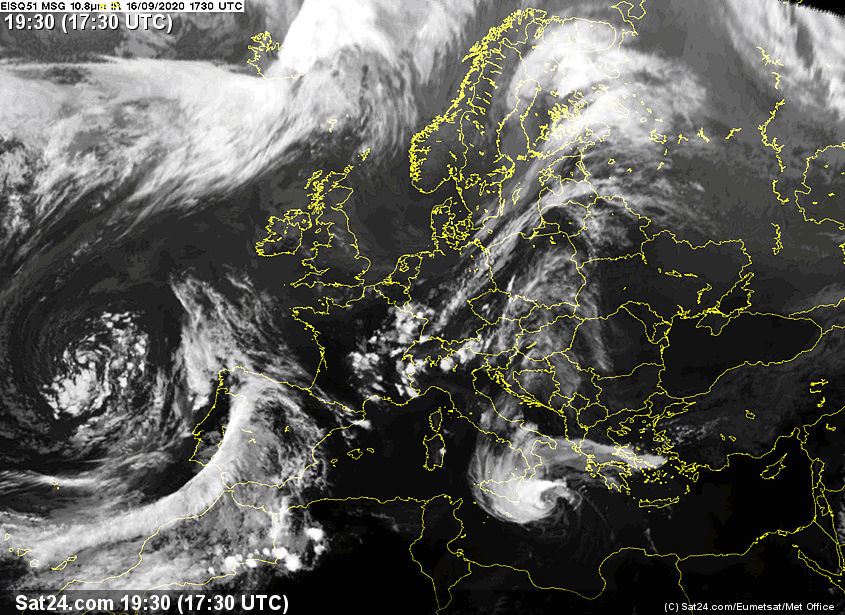
The sea surface temperature around the Maltese Islands this summer peaked at 29⁰C, a full 2⁰C warmer than the average. The high sea surface temperature contributed to increased rates of evaporation, which in turn, lead to an increase in humidity levels. From 12/09 through to 16/09, a series of heavy thunderstorms occurred around the central Mediterranean. A short-wave upper-level low pressure system passed across our region bringing relatively cold air over a very warm sea, creating a great deal of instability. In addition to this, a greater amount of moisture was available to be advected into these thunderstorms. The end product were thunderstorms with intense rainfall.
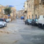
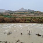
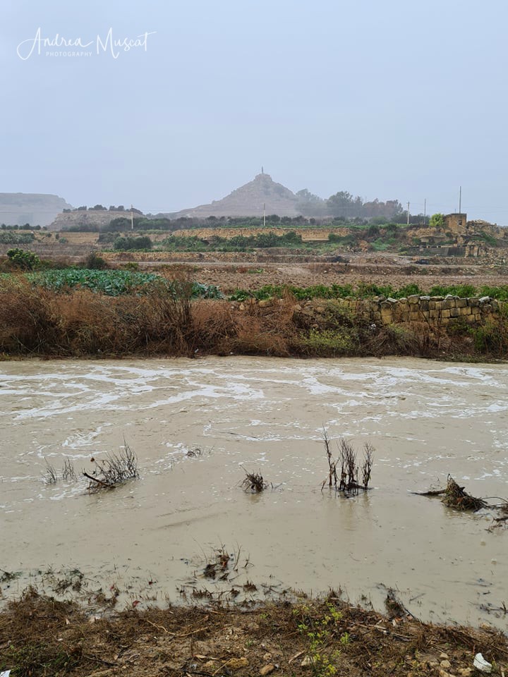
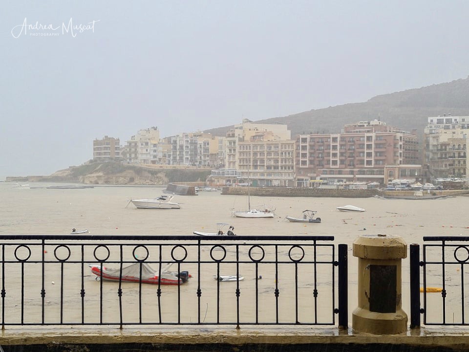
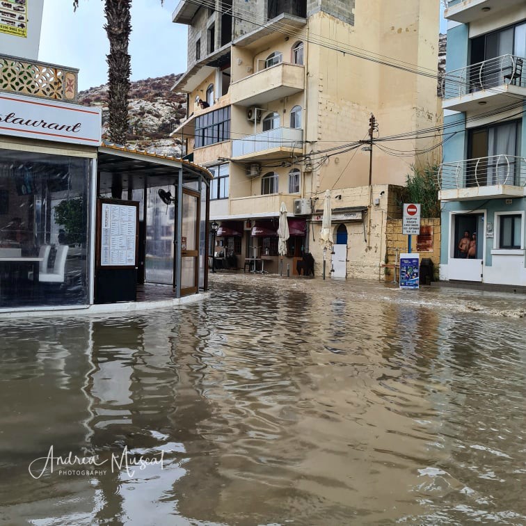
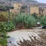
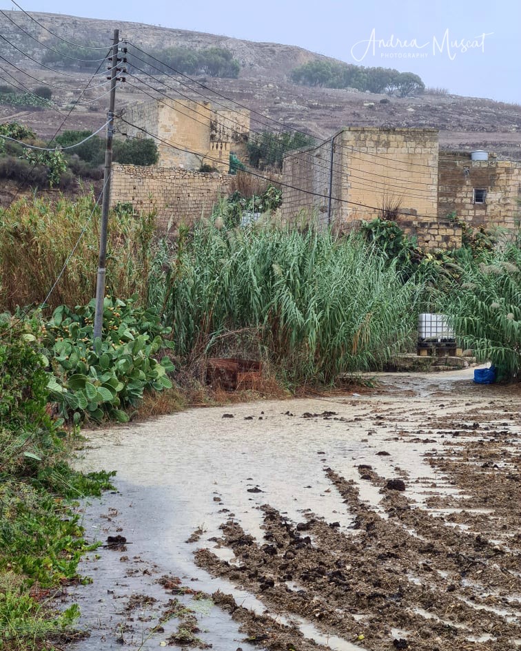
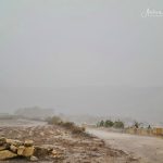
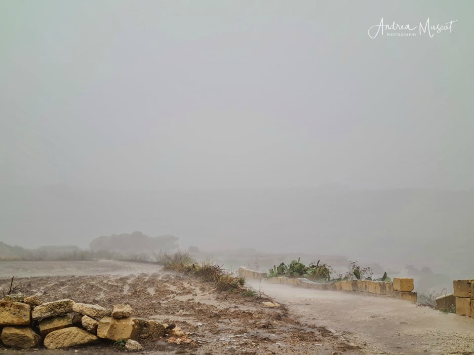
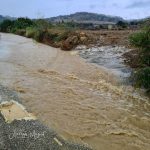
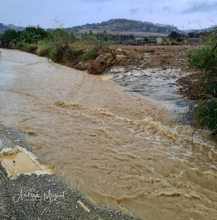
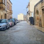
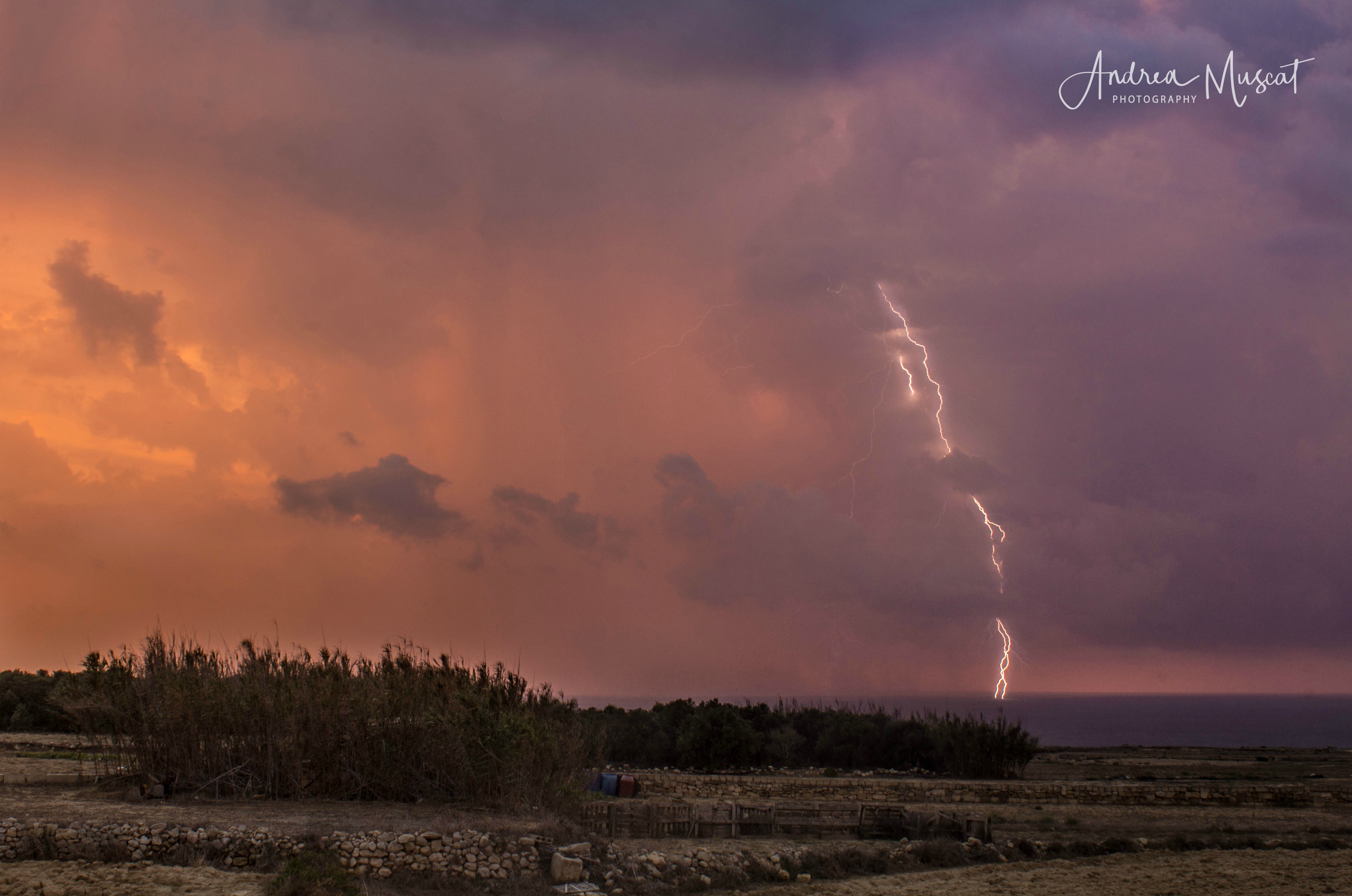
Most thunderstorms were localised, affecting a few localities at a time. At least four main thunderstorms affected the Maltese Islands. The first came in the early afternoon of Saturday 12/09. This drenched central and southern Malta. With 67.2 mm of rain, Luqa was the wettest locality. The second thunderstorm occurred in the morning on Sunday 13/09. This affected areas further north. Nadur and Mellieħa found themselves at the centre of this storm, with rainfall values of 40 mm each. The third and most intense storm struck at noon on Monday 14/09. It packed rainfall rates of up to 167 mm / hr, gale force winds and dangerous cloud-to-ground lightning. The island of Gozo bore the brunt of it all. It had to endure nothing less than four hours of torrential rain. In the end, the localities of Għarb and Xagħra had received the most rainfall, with 112.1 mm and 102.0 mm respectively. The 112.1 mm total from Għarb is equal to 1/5 of a typical year’s rain and almost three times the typical September’s rain. Some areas around Malta experienced the third thunderstorm too, with hardest-hit Attard recording 68.5 mm of rainfall. A final thunderstorm formed in the evening of Wednesday 16/09 and swept across parts of the Maltese Islands, affecting central and southern particularly intensely clique neste link. 37.0 mm of rain were measured in Msida. In addition to the four main storms, a number of showers and isolated thunderstorms also affected the islands. The absence of wind at the upper levels of the atmosphere meant that the entire zone of instability, along with all the individual thunderstorms within it were extremely slow-moving. This exacerbated further the amount of rainfall dumped by the storms. Below are values for total rainfall gathered in several localities around the Maltese Islands:
Għarb – 129.9 mm
Victoria – 121.1 mm
Nadur – 117.0 mm
Xewkija – 84.6 mm
Mellieħa – 68.4 mm
Buġibba – 63.3 mm
Mġarr – 44.1 mm
Attard – 132.8 mm
Għargħur – 80.5 mm
Msida – 123.4 mm
Rabat – 40.3 mm
Valletta – 77.8 mm
Luqa – 134.7 mm
Żabbar – 136.7 mm
Birżebbuġa – 70.6 mm
Thanks to these thunderstorms, the total rainfall all round the Maltese Islands for September 2020 is already higher than the climate average for the same month.
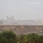
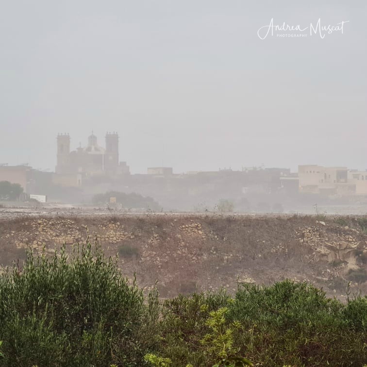
A series of waterspouts were observed, particularly on Sunday. These start their existence as a funnel cloud below a cumuliform cloud when a column of swirling air begins to rotate, causing the surrounding moisture to condense into water droplets. This vortex begins to move downward, creating a funnel shape which protrudes for a distance below the cloud. Often, it is too weak to extend all the way down and make contact with the ground. When it does manage contact with the ground, it takes the form of a weak waterspout or landspout. Most funnels which form locally are of this kind, and rarely of their stronger relatives, the tornadoes.
-

- Andrea Muscat

-

- Andea Muscat
-
- Andrea Muscat

-
- Andrea Muscat
-
- Andrea Muscat
-
- Andrea Muscat
-
- Andrea Muscat
-
- Andrea Muscat

-
- Andrea Muscat
-
- Andrea Muscat
-

- Andrea Muscat

-

- Andrea Muscat
-
- Andrea Muscat
-
- Andrea Muscat
-
- Andrea Muscat
-

- Andrea Muscat

-

- Andrea Muscat
-
- Andrea Muscat
-
- Andrea Muscat
-
- Andrea Muscat
-
- Andrea Muscat
-

- Andrea Muscat
-
- Andrea Muscat
-
- Andrea Muscat

-
- Andrea Muscat

-

- Andrea Muscat
-

- Andrea Muscat
-

- Andrea Muscat
-

- Andrea Muscat
-
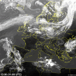
- The first thunderstorm came in the early afternoon of Saturday 12/09. This drenched central and southern Malta. With 67.2 mm of rain, Luqa was the wettest locality.
-
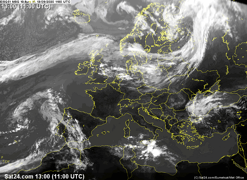
- The second thunderstorm occurred in the morning on Sunday 13/09. This affected areas further north. Nadur and Mellieħa found themselves at the centre of this storm, with rainfall values of 40 mm each.
-
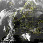
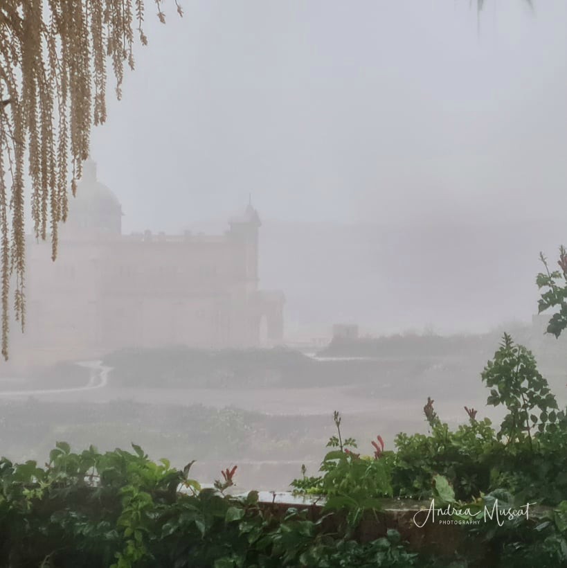
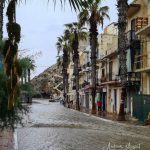
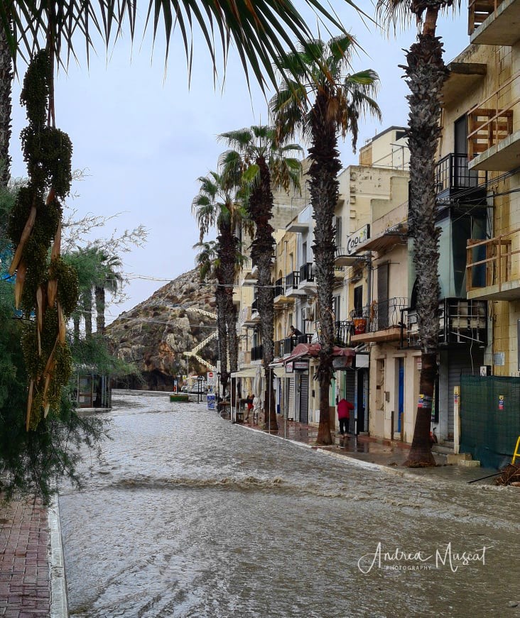
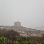
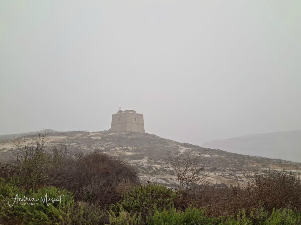
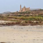
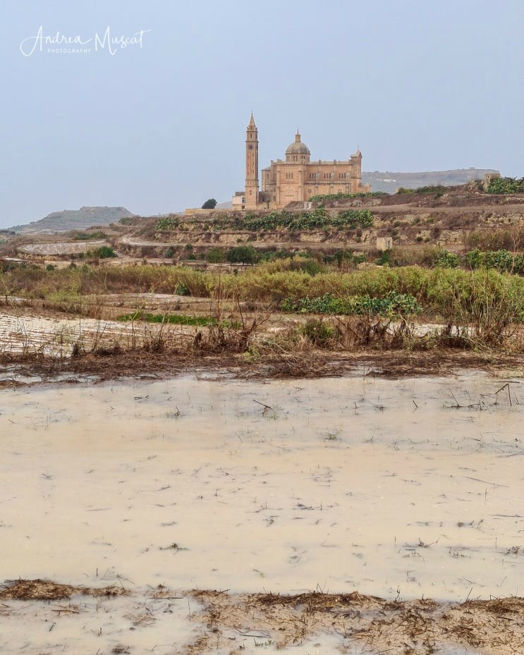
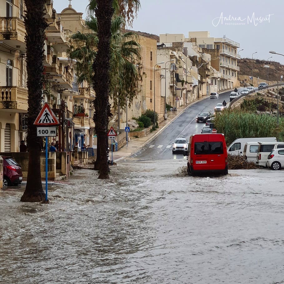
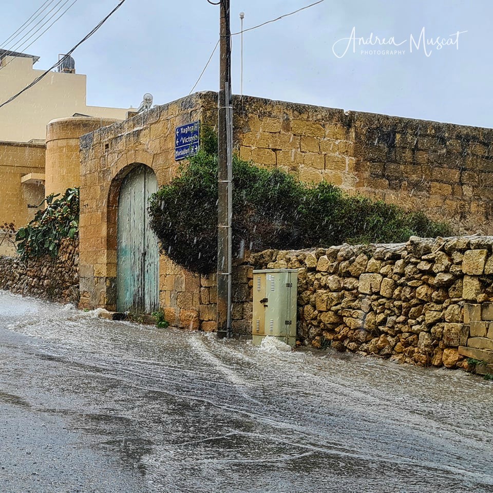
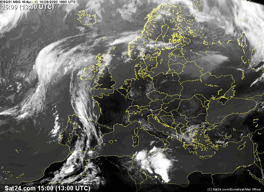
- The third and most intense storm struck at noon on Monday 14/09. It packed rainfall rates of up to 167 mm / hr, gale force winds and dangerous cloud-to-ground lightning. The island of Gozo bore the brunt of it all. It had to endure nothing less than four hours of torrential rain. In the end, the localities of Għarb and Xagħra had received the most rainfall, with 112.1 mm and 102.0 mm respectively.
-
- A final thunderstorm formed in the evening of Wednesday 16/09 and swept across parts of the Maltese Islands, affecting central and southern particularly intensely. 37.0 mm of rain were measured in Msida.
0 comments
Write a comment