
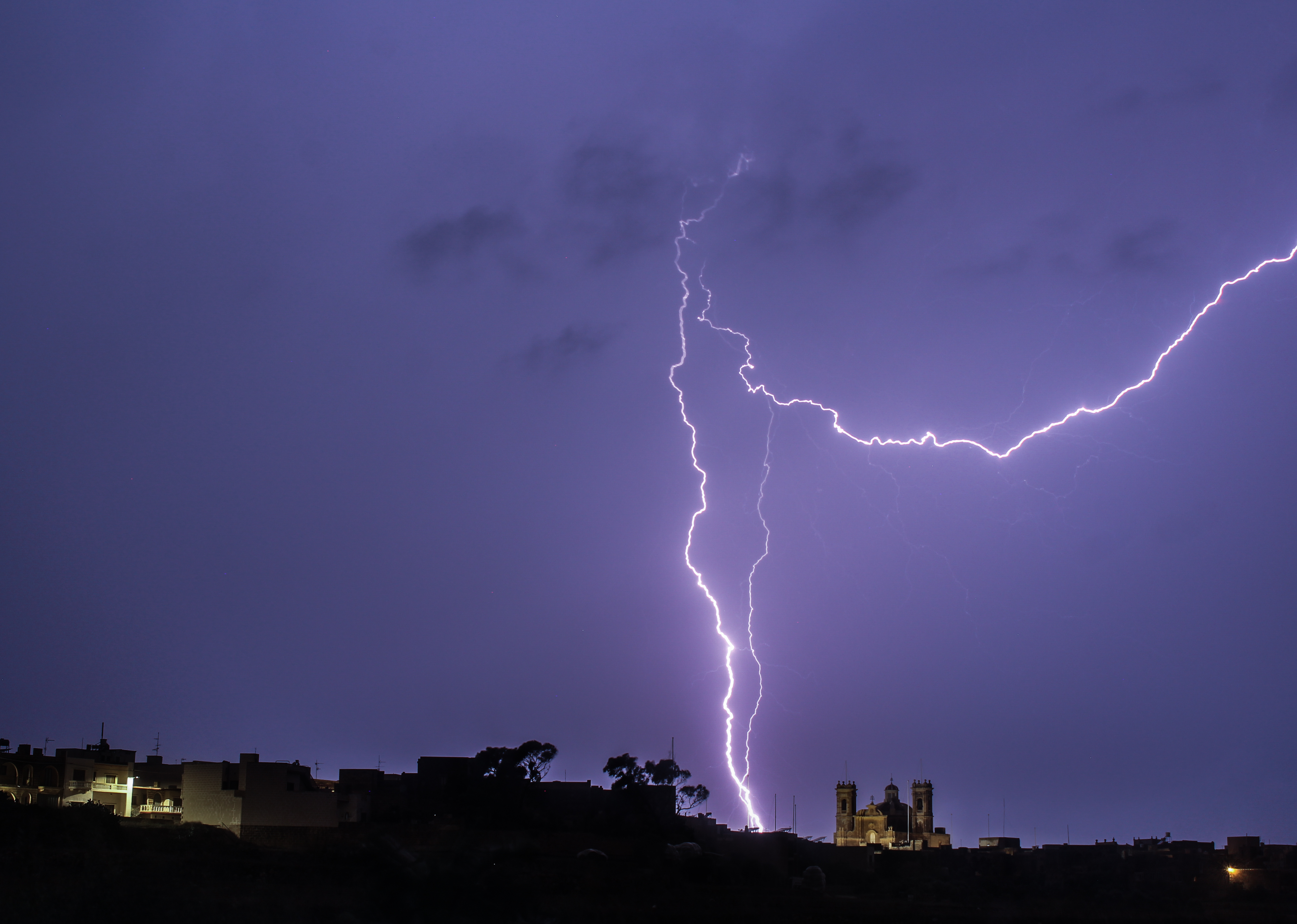
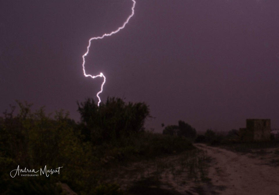
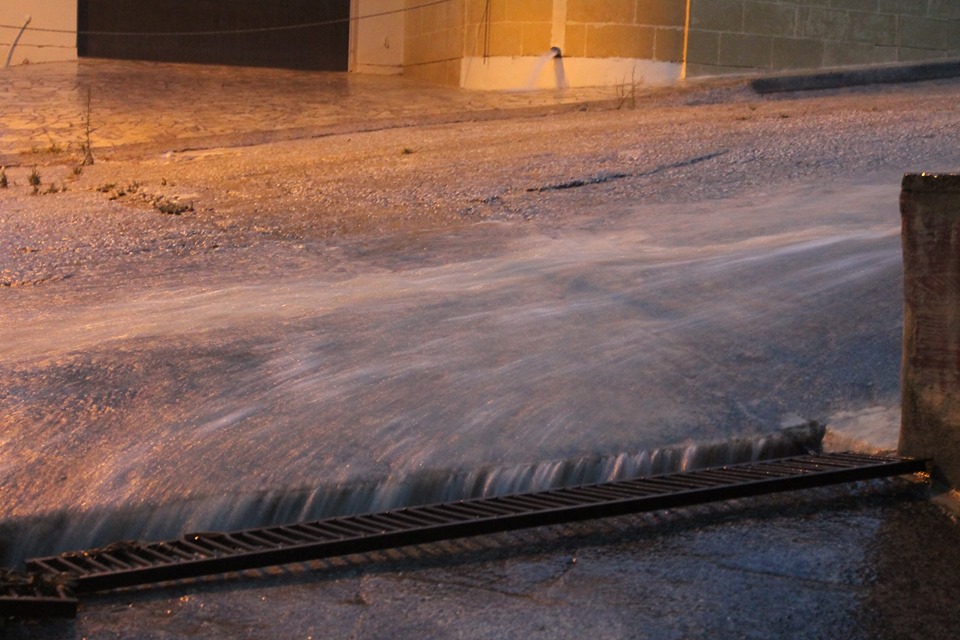
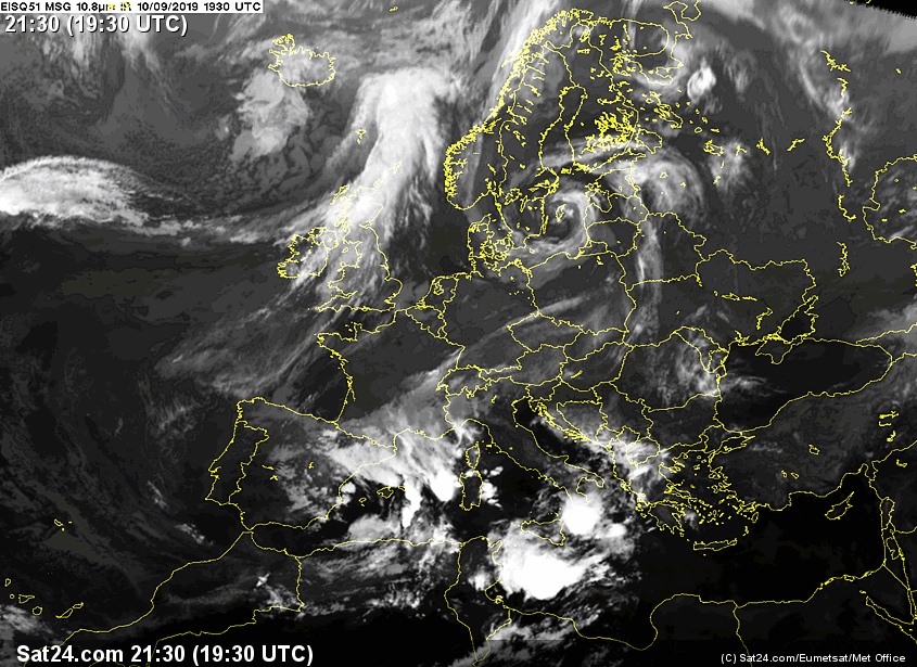
A series of heavy thunderstorms were caused due to an short-wave upper-level low pressure system which passed rapidly across the central Mediterranean bringing relatively cold air over a very warm sea, creating a great deal of instability. There was plenty of moisture in the atmosphere. This produced a Mesoscale Convective System (MCS) which passed over the Maltese Islands from the late afternoon till late at night. This caused a series of heavy thunderstorms with blustery spells and also some hail, especially over Gozo. An MCS is a mass of organised thunderstorms. They take on a round or linear shape with clear-cut edges. These features distinguish an MCS from other thunderstorm structures. Highest rainfall totals from this storm were: 50.1 mm in Għarb, 40.2 mm in Xagħra, 39.7 mm in Rabat (Malta), 32.0 mm in Victoria and 25.0 mm in Nadur. Thanks to this MCS, the total rainfall in Gozo for September 2019 is already higher than the climate average for the same month. With a total of 77.7 mm, Għarb is the wettest locality so far since September 1st.
Thanks to Andrea Muscat and Miklós Rajczi for the photos!
-
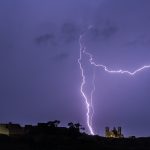
- Andrea Muscat
-

- Andrea Muscat
-

- Andrea Muscat
-

- Miklós Rajczi
-
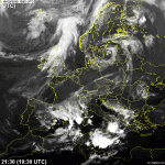
- A satellite image showing the Mesoscale Convective System (MCS) over the central Mediterranean
Thanks for the explanation. I live and learn reading your posts and other informative writings.Keep it coming!