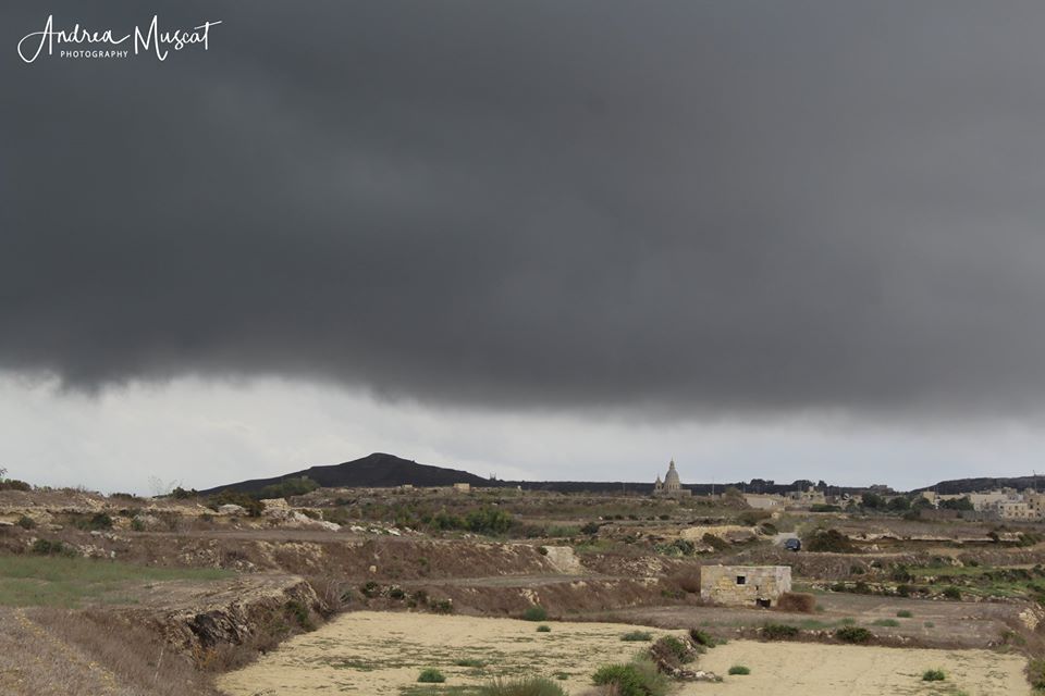
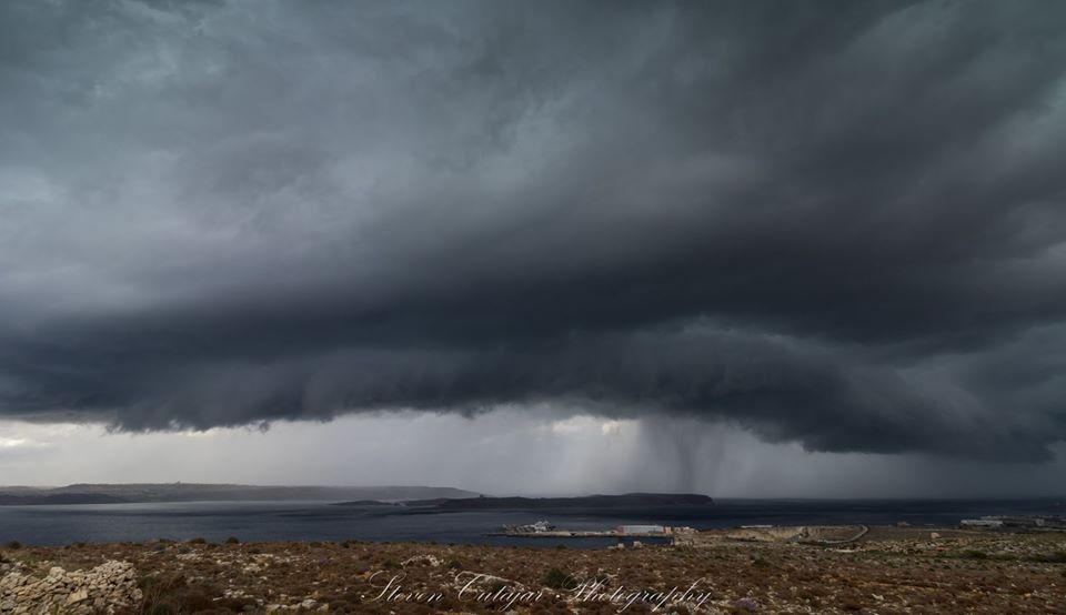
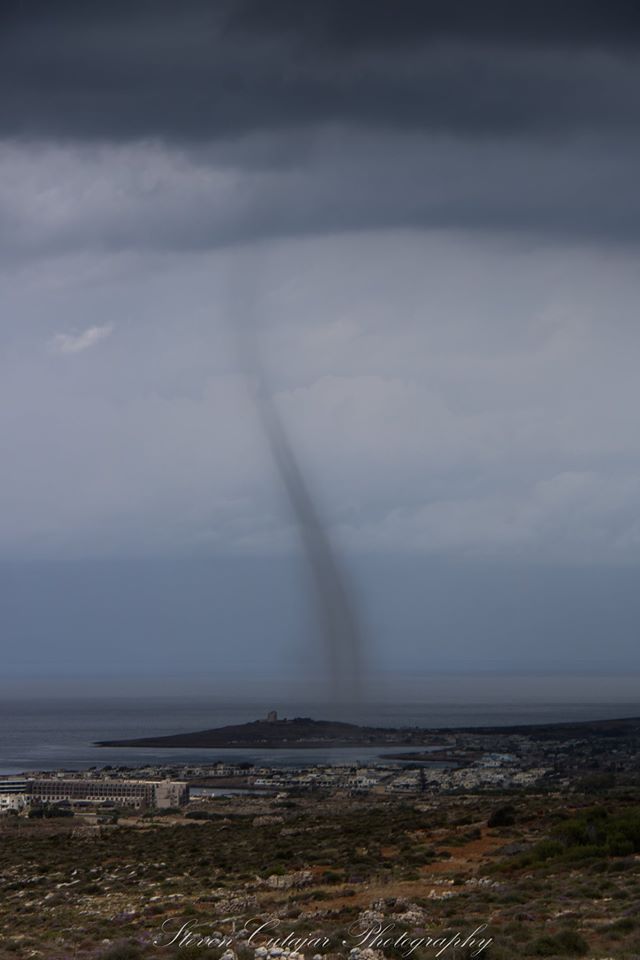
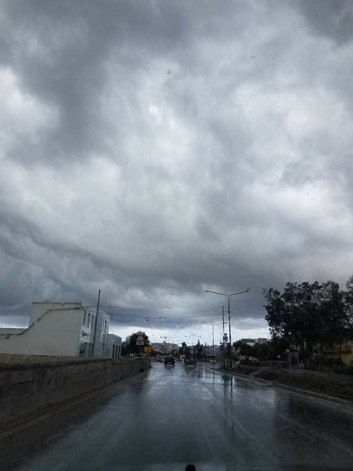
At least two thunderstorms drenched Malta. The second of these, which struck in afternoon, was confirmed as having been severe. It produced wind gusts of up to Force 8 (over 62 km/h), hailstones with a diameter of around 2.5 centimetres (the size of a €2 coin) and a confirmed waterspout (dissipated when over the beach) close to Armier Bay. Total rainfall ranged from 6.4 mm (Birżebbuġa) to 41.2 mm (Għargħur). Another independent weather service provider reported close to 70 mm in St.Paul’s Bay. A separate shower occurred over parts of Gozo. The western half of the island remained completely dry.
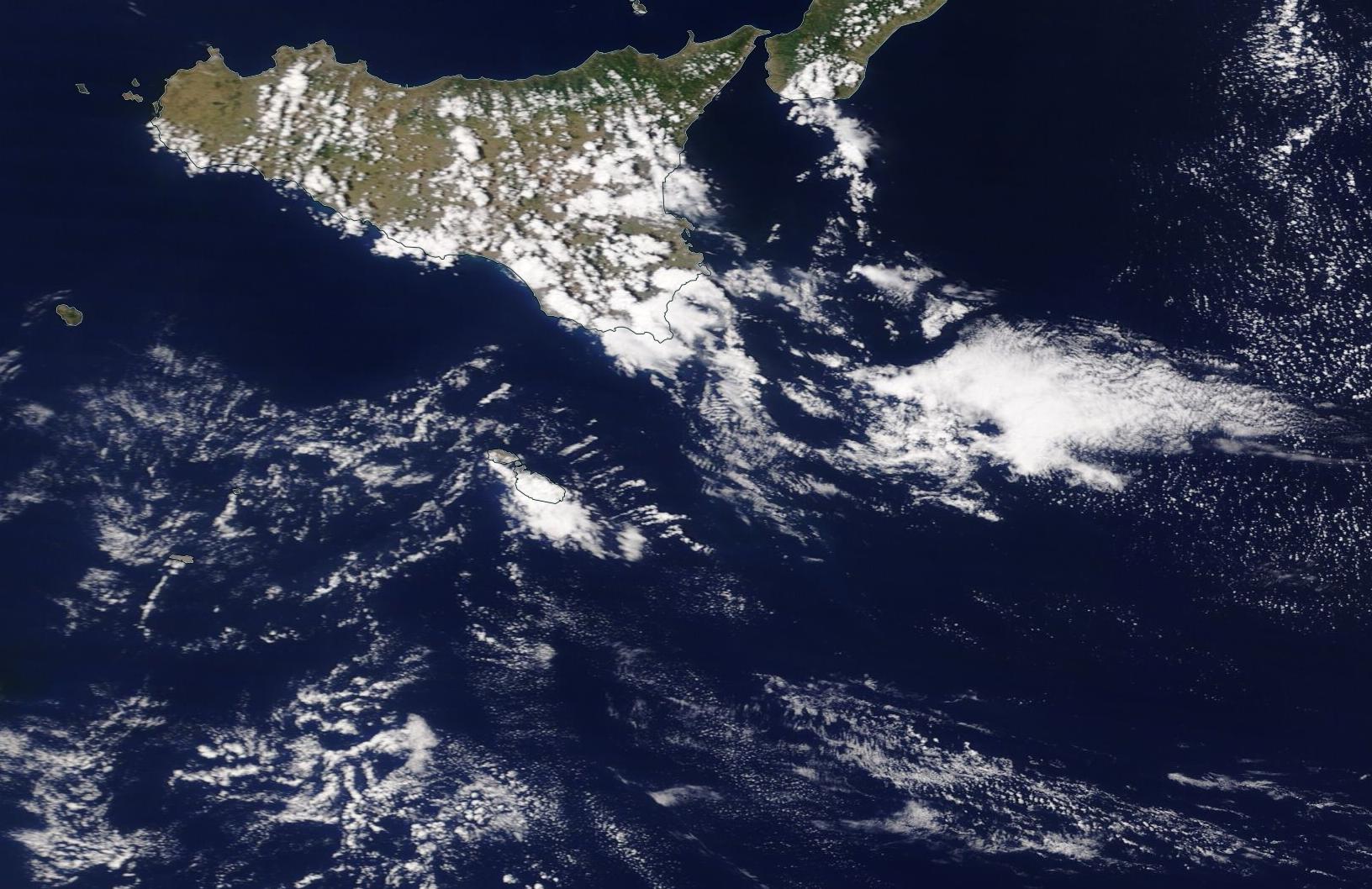
An upper-level low pressure system over the central Mediterranean brought relatively cold air from the Balkans over a warm central Mediterranean, creating a great deal of instability with towering cumulus and cumulonimbus clouds that sparked heavy showers and thunderstorms. The wind was very light at all levels of the troposphere, allowing the storms to build up gradually as a result of diurnal heating. Colder air in the upper levels of the atmosphere increases instability. This is because the warmer air at ground level, being lighter and more buoyant, tends to rise. This vertical movement cools the rising air, causing the moisture within to condense and form clouds.
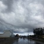
Wednesday 27th May was expected to be a fairly unstable day, but admittedly, this instability was much greater than initially predicted.
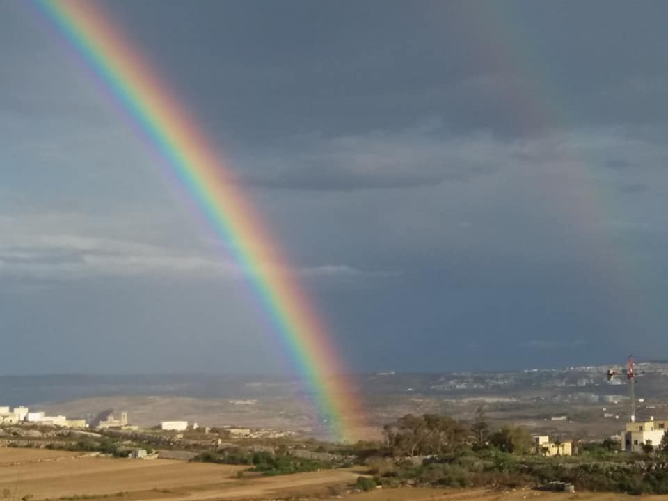
Thanks to Andrea Muscat, Steve Cutajar, Norbert Vella, George Carl Camilleri, Josephine Debrincat and Chrystal for the photos!
-
- Andrea Muscat
-
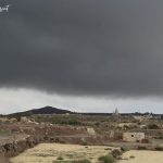
- Steve Cutajar
-

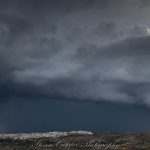
- Steve Cutajar
-

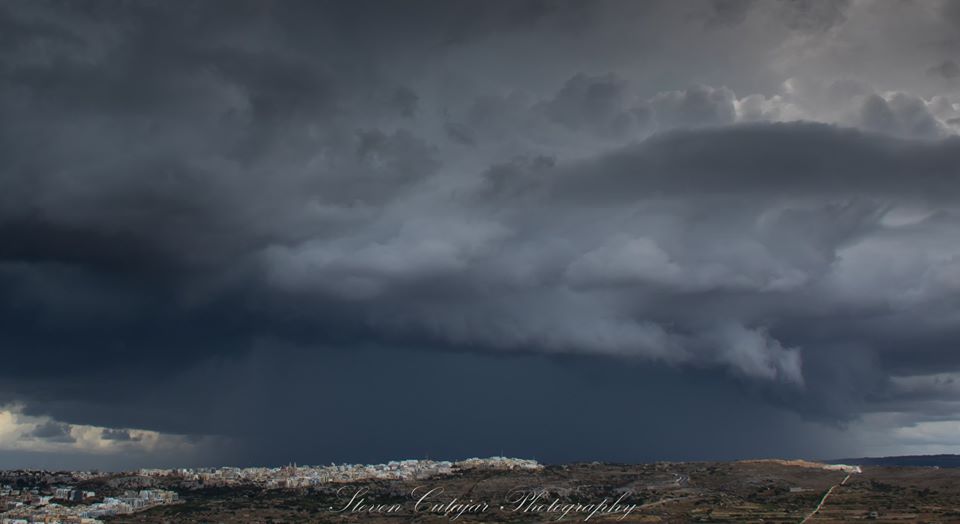
- Steve Cutajar
-

- Chrystal Tas-Six
-

- George Carl Camilleri

-
- Josephine Debrincat
-

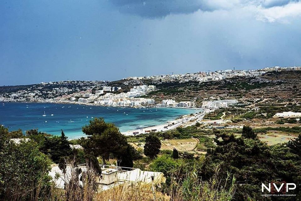
- Norbert Vella

-

- A satellite image showing thunderstorm build-up over Malta.
-
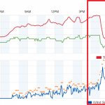
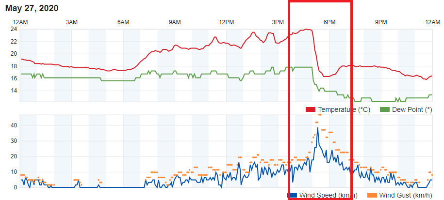
- Għarb was the least affected by the bad weather. Still, a graph from our weather station showed a clear drop in air temperature and a rapid increase in wind speed.
0 comments
Write a comment