
Low clouds have cloud bases below 2,000 meters so their various shapes and characteristics are clearly evident to us on the ground. They are somewhat more varied and dynamic than higher clouds, subject as they are to the effects of fluctuating ground heating. Low cloud types are cumulus, nimbostratus, stratocumulus and stratus.
CUMULUS
| Appearance | white, puffy with distinct edges, usually flat at base. |
| Species | humilis, mediocris, congestus and fractus. |
| Meaning of name | heap. |
| Precipitation | cumulus congestus can produce rain showers. |
-

- Cumulus Fractus
-

- Cumulus Humilis

-

- Cumulus Mediocris
-
- Cumulus Congestus
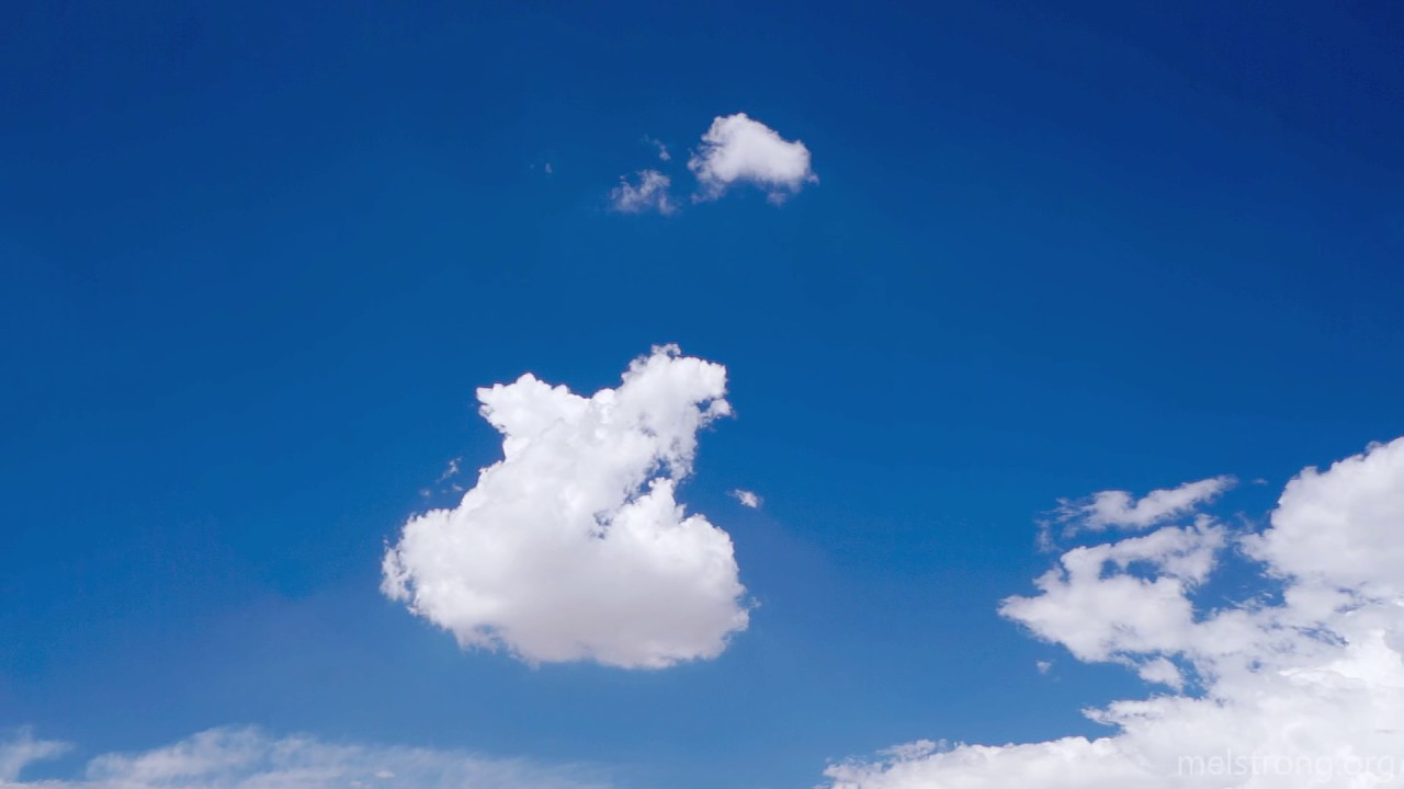
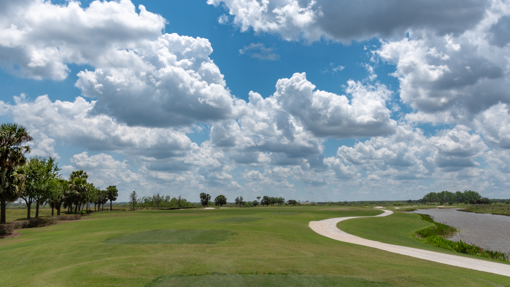
- Cumulus Fractus and Cumulus Humilis are the initial product of columns of ascending air. These rise in plumes from the Sun-warmed ground, with the smaller cumulus fractus clouds seen emerging from fragments of haze on warm and calm mornings. Seeding themselves on condensation nuclei (microscopic grains of dust, smoke, pollen or sea salt), the rising pockets of water vapour cool and condense into droplets which begin to coalesce, growing upwards and outwards into a puffy white cloud. When completely formed, these appear as dense, white, detached clouds with wide areas of blue sky between them. They have a clear-cut horizontal base and rounded top. They are usually referred to as ‘fair-weather’ cumulus. The main rule of thumb with cumulus humilis is that they are wider than they are tall. When the warm air begins to cool at sunset, and the convection ceases, these clouds will begin to dissipate, breaking down into even smaller fragments.
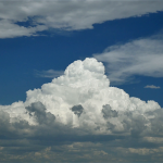
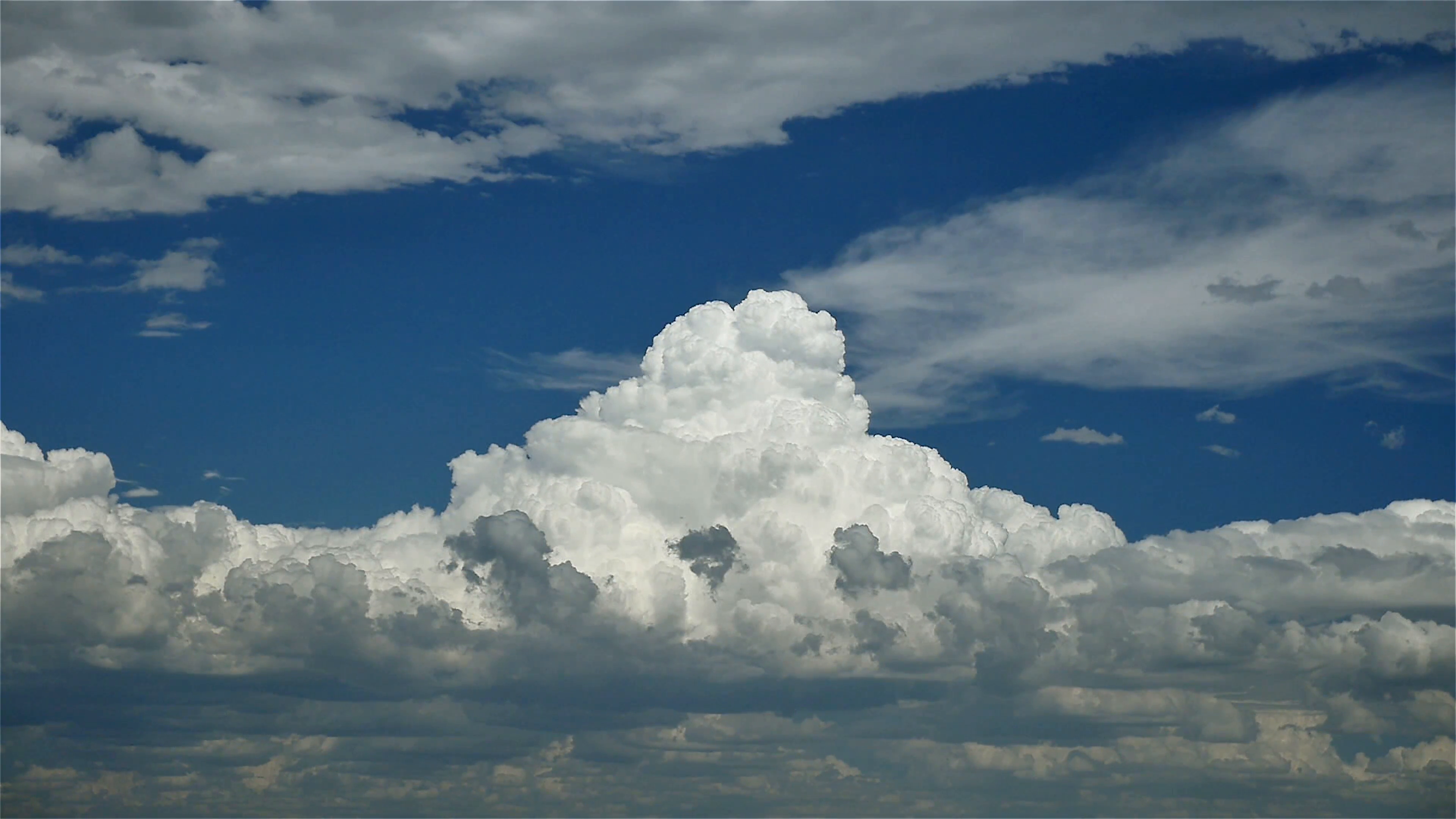
- Cumulus Mediocris and Cumulus Congestus are the product of the continued vertical growth of cumulus fractus and cumulus humilis. This continue vertical growth is sustained by the upward convection of columns of warm and moist air on sunlit days. As these thermals rise, they expand and cool until their load of moisture condenses and coalesces into clouds. Condensation releases a great deal of heat. This serves to warm the air in the growing cloud further, leading to stronger convection and thus a further build-up of cumulus clouds https://southafrica-ed.com/kamagra-in-south-africa/. It will carry on growing upwards until the temperature within the cloud is equal to that of its surroundings. These are more common under an unstable atmosphere. The main rule of thumb with cumulus mediocris is that they are as tall as they are wide. Cumulus congestus, on the other hand, are taller than they are wide. They can go on to produce rain showers.
0 comments
Write a comment