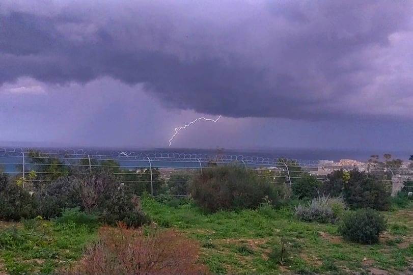
Chance of isolated thunderstorm / Ċans ta’ maltempata bir-ragħad iżolata
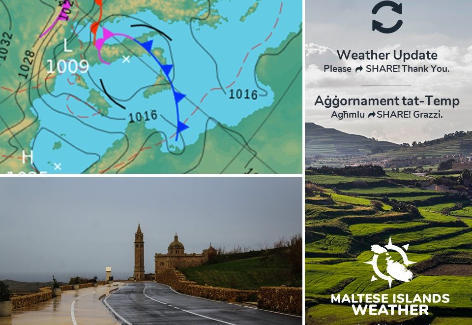
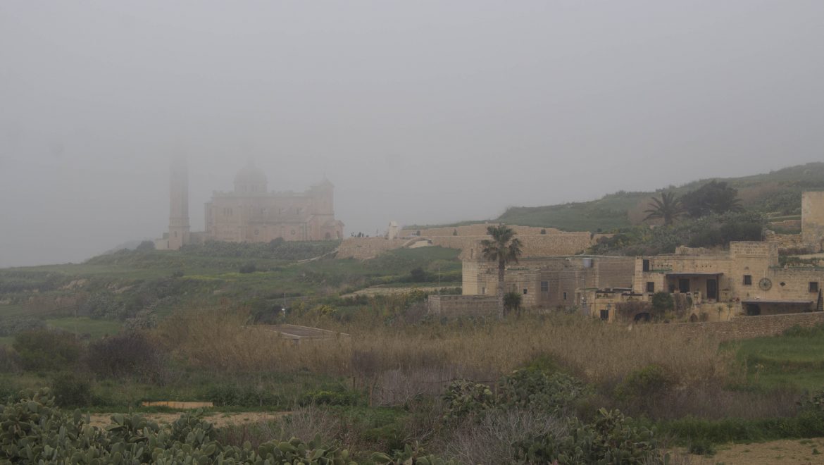
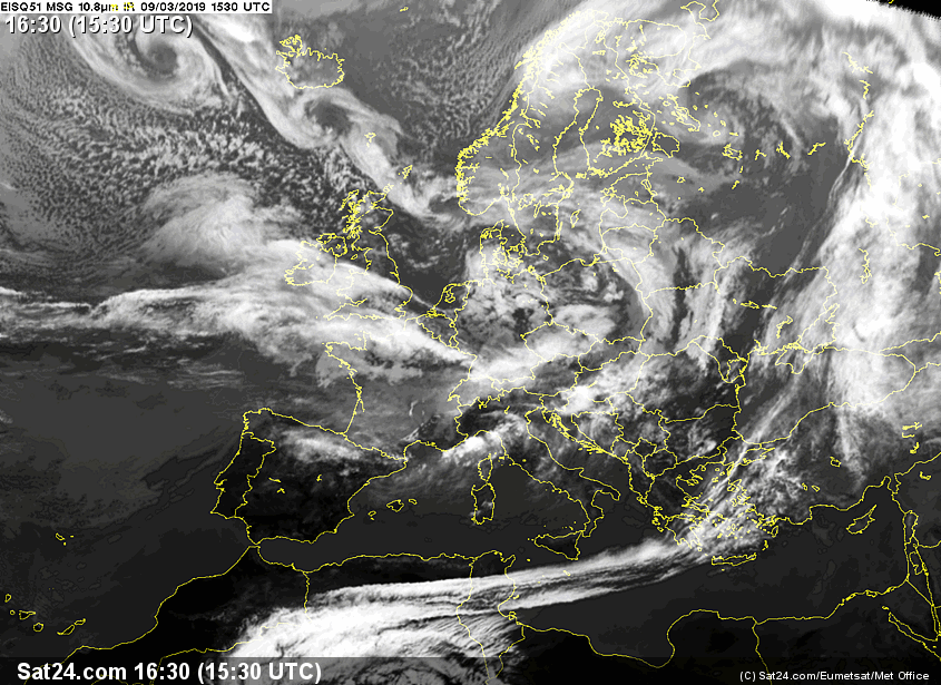
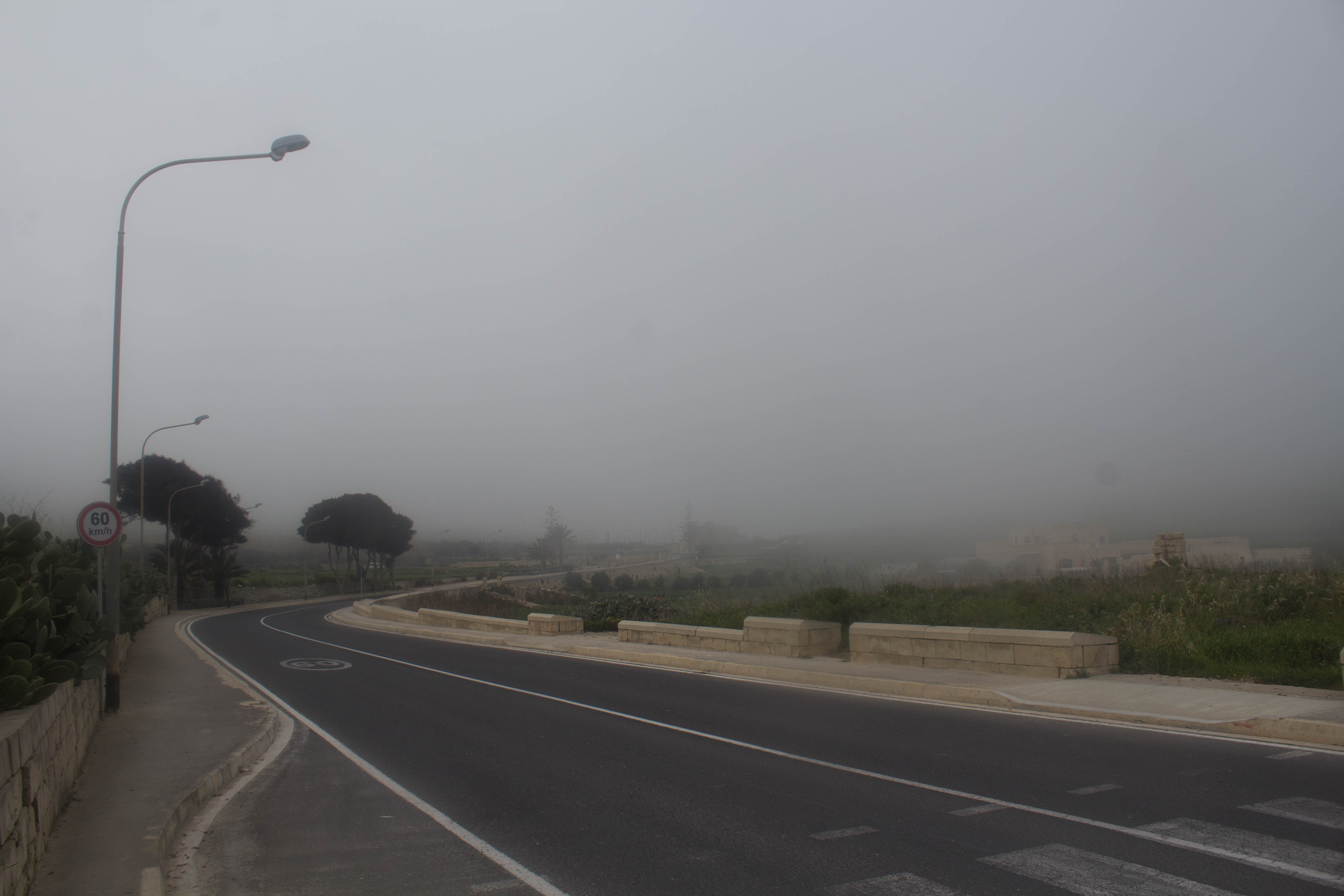
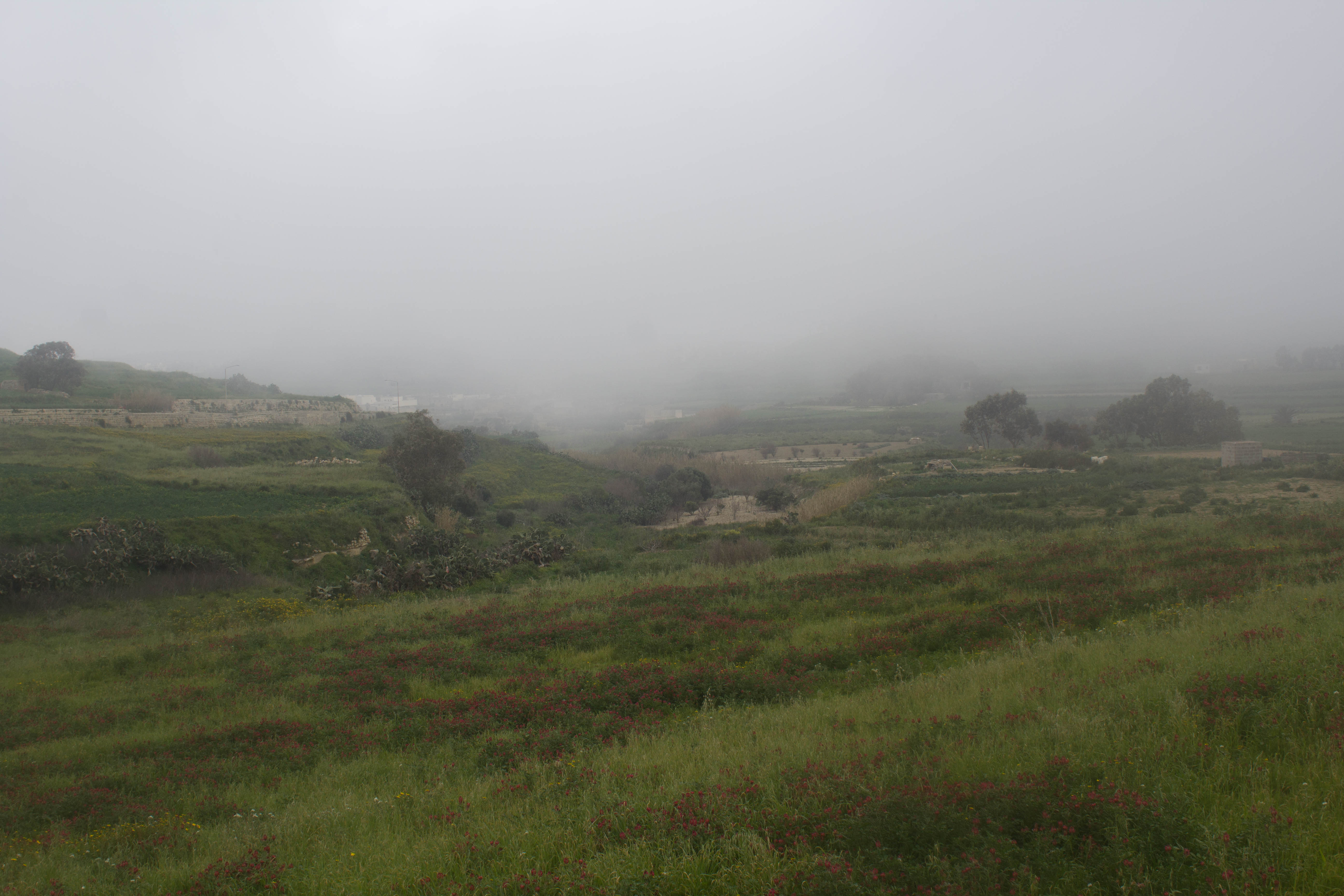
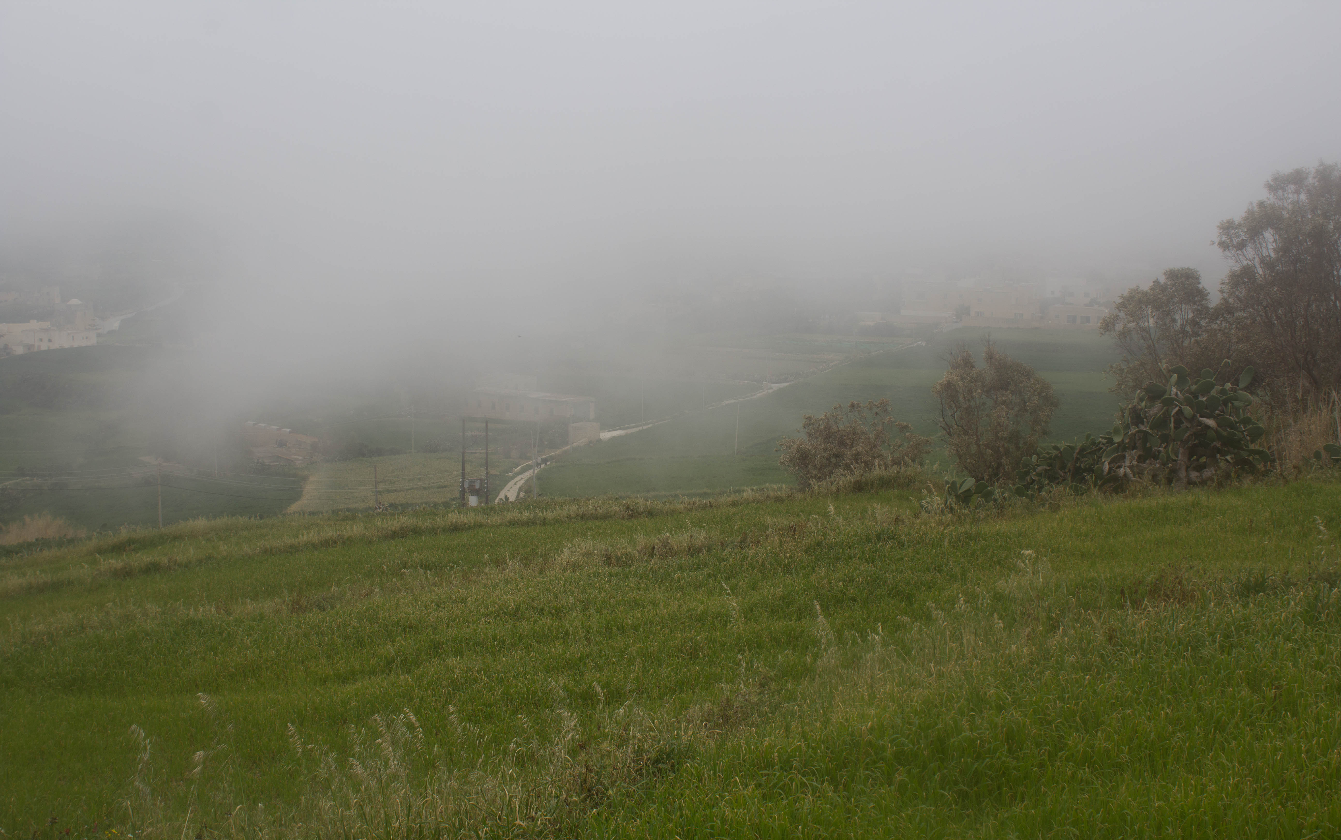
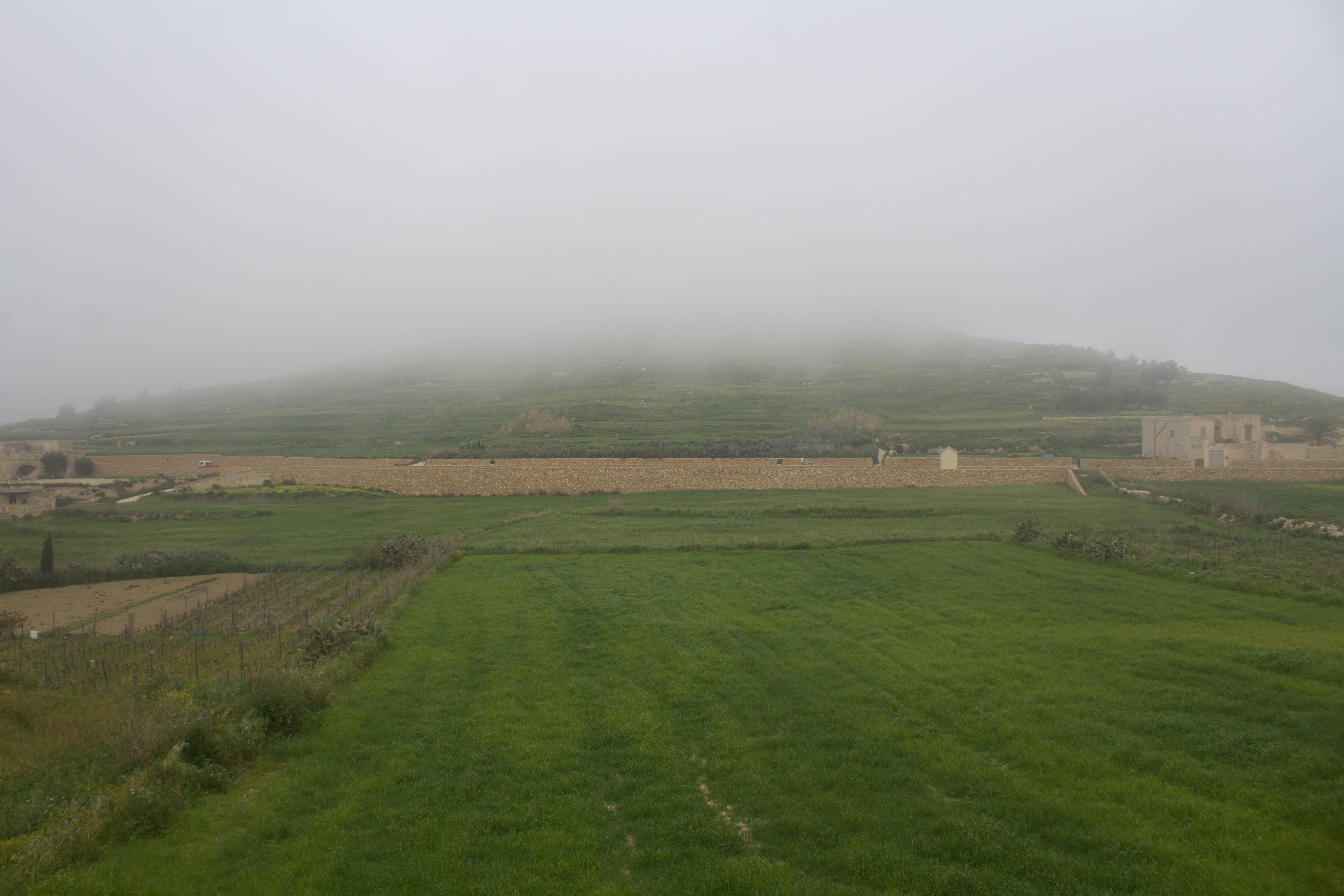
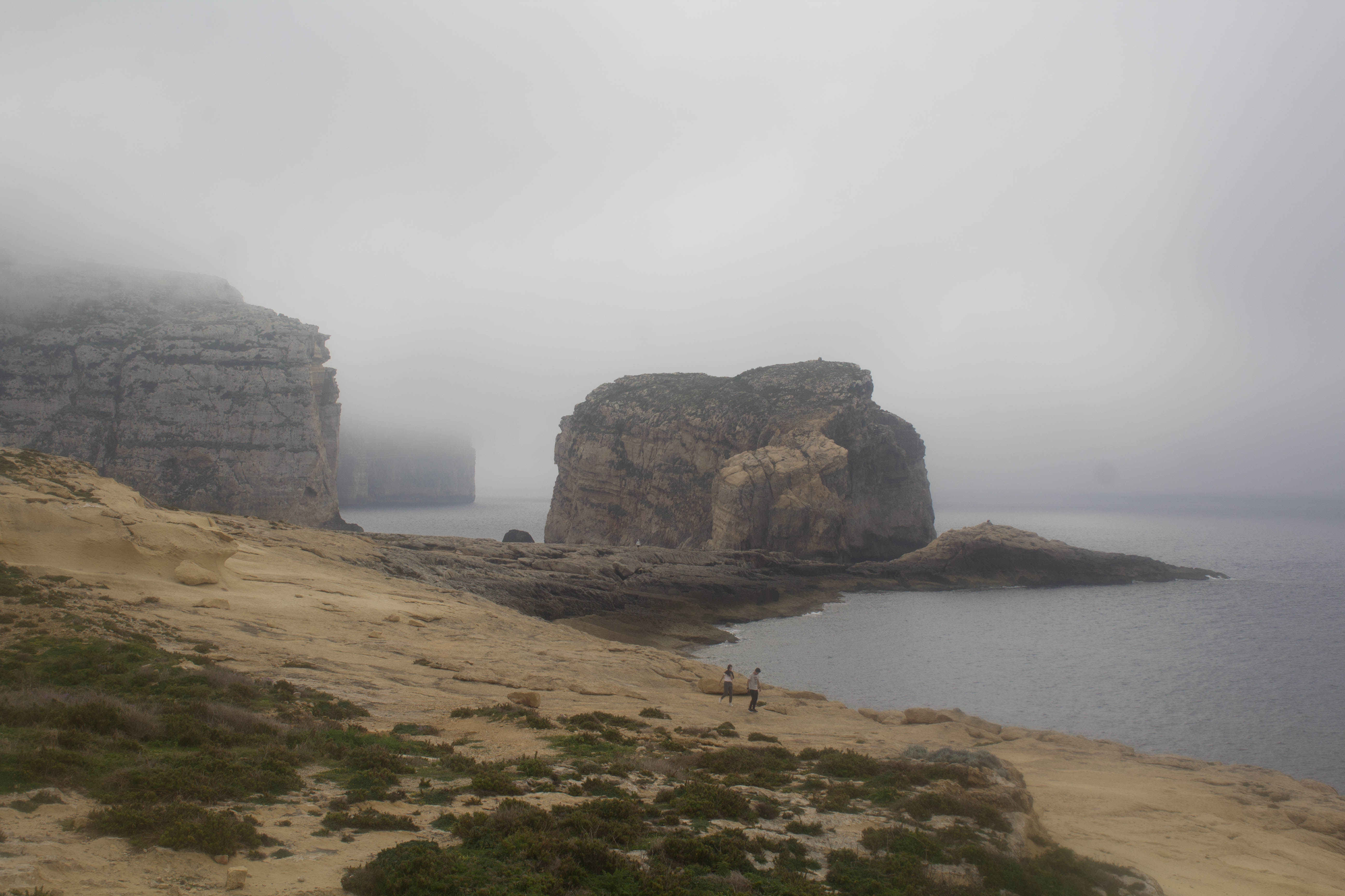
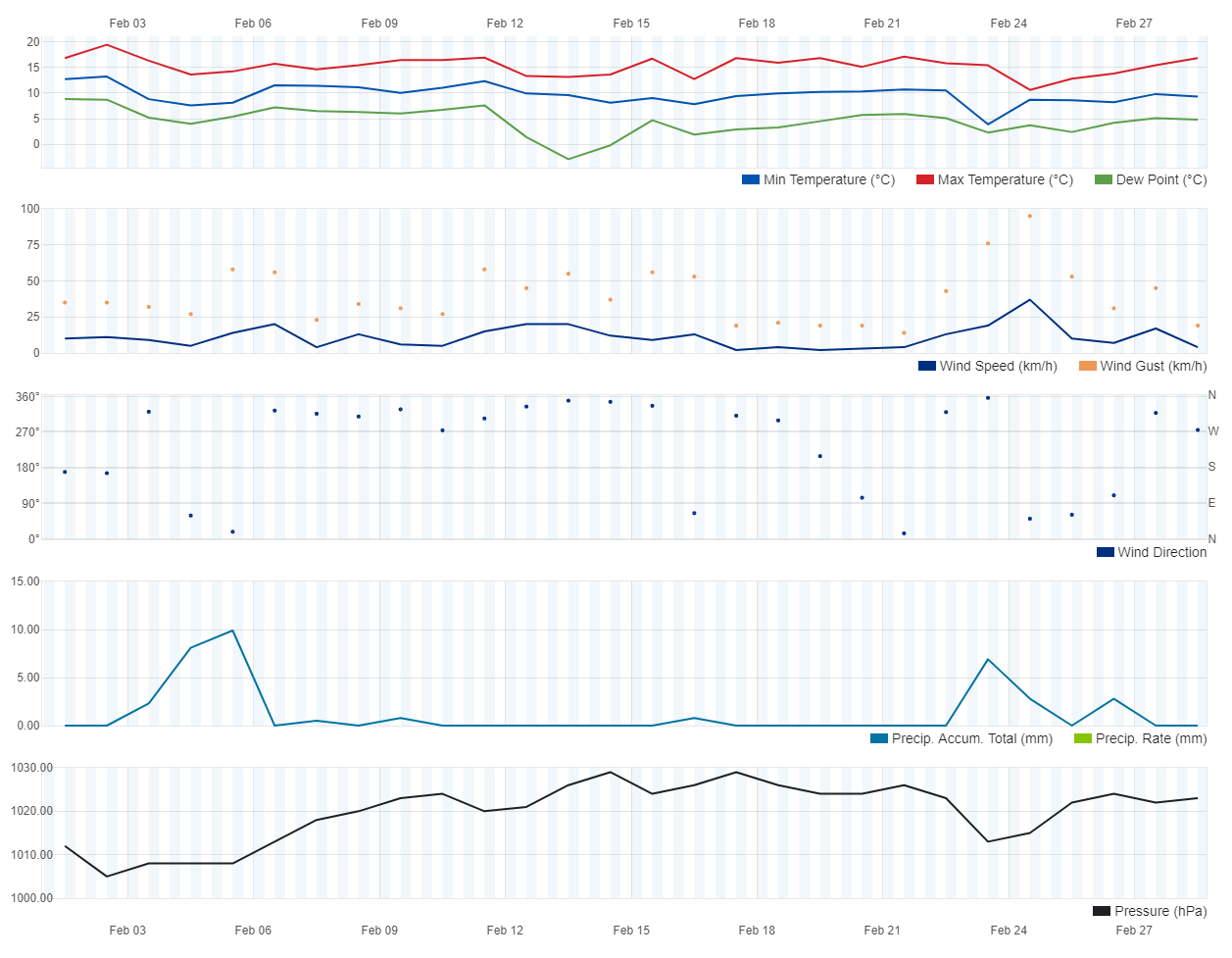
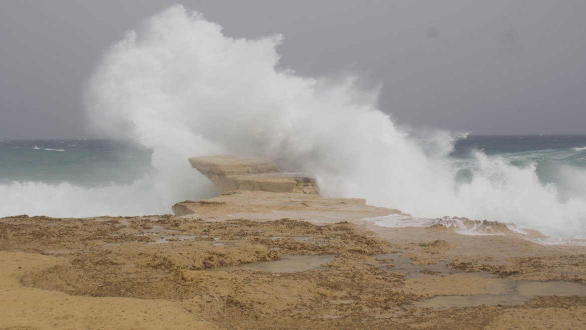
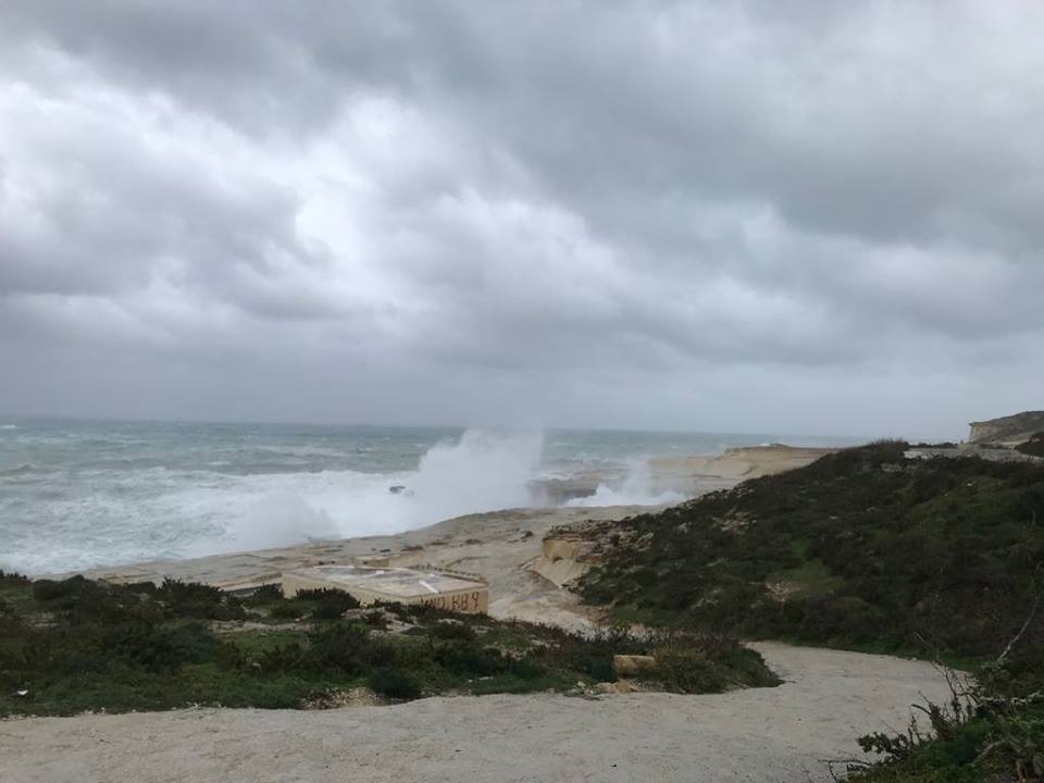
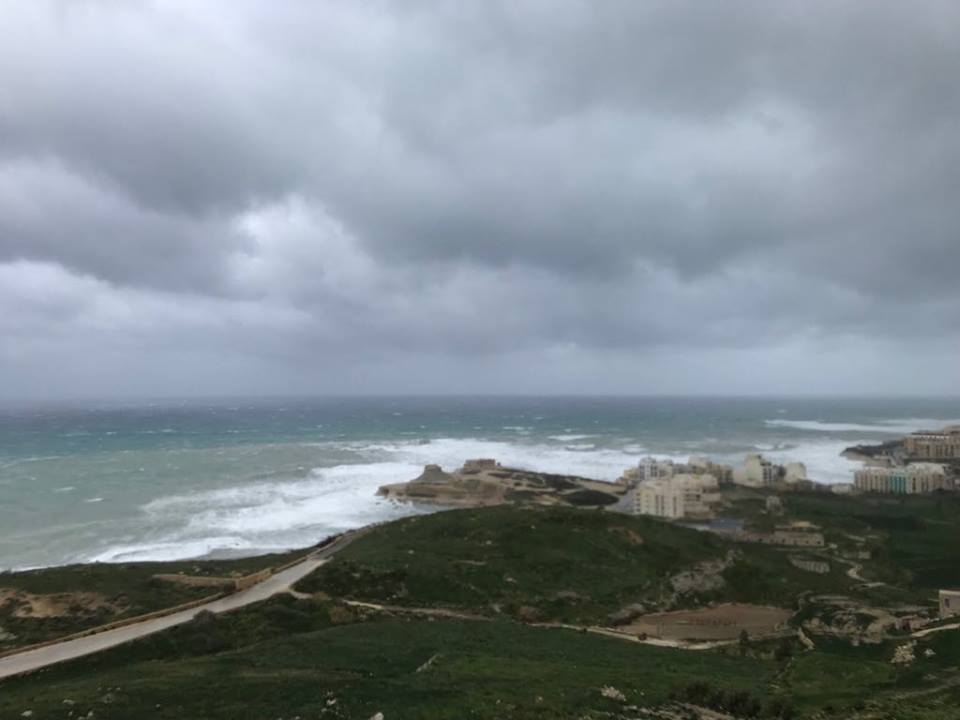
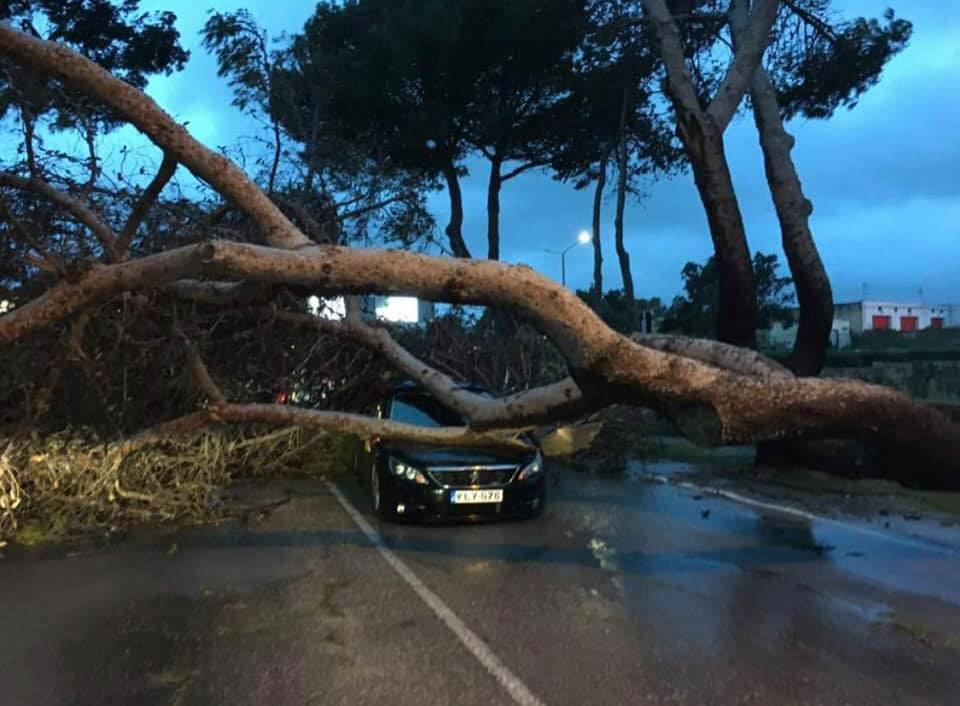
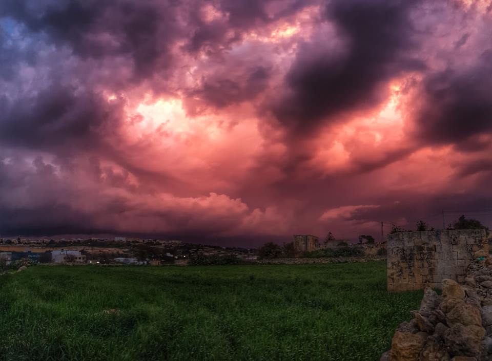
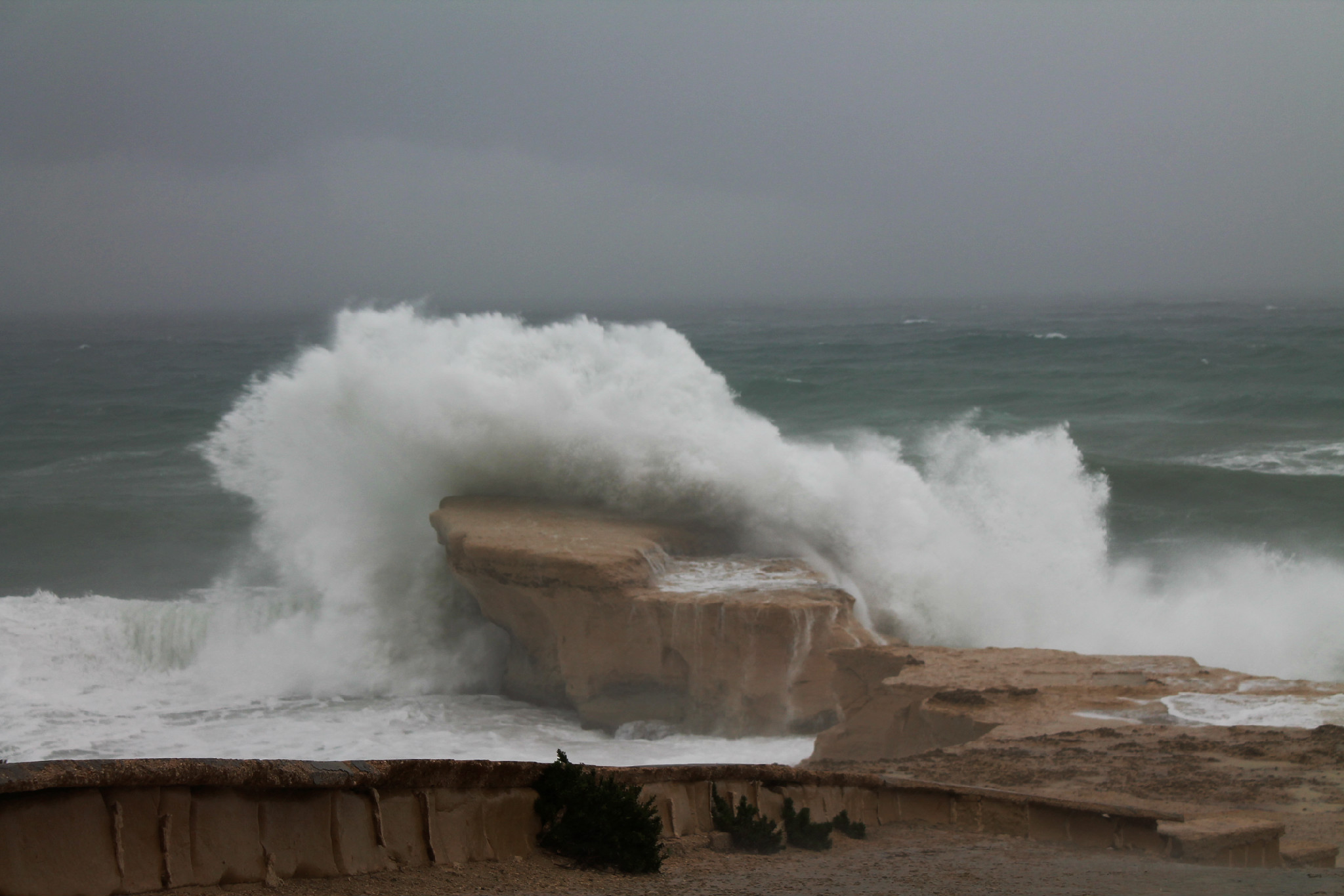
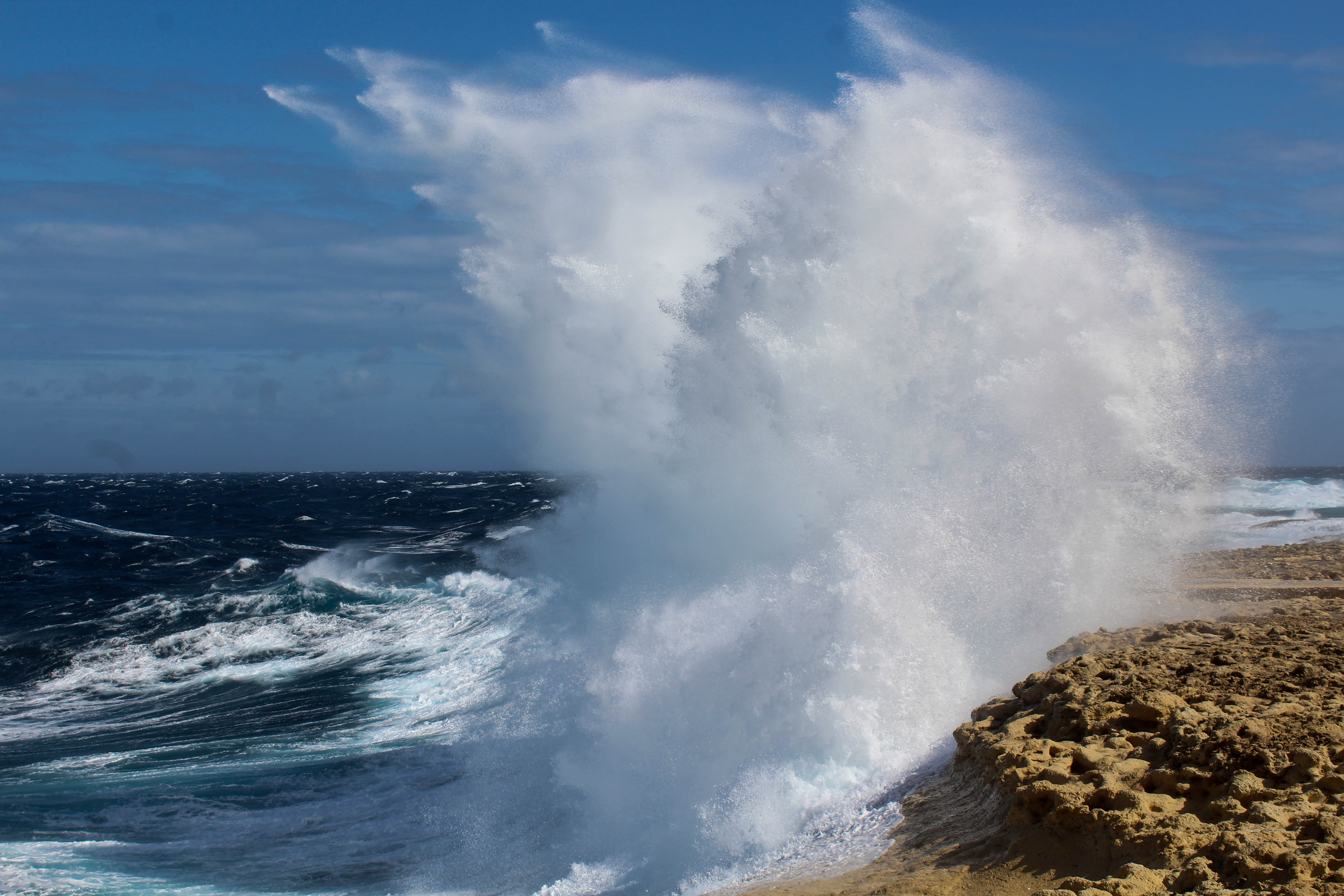
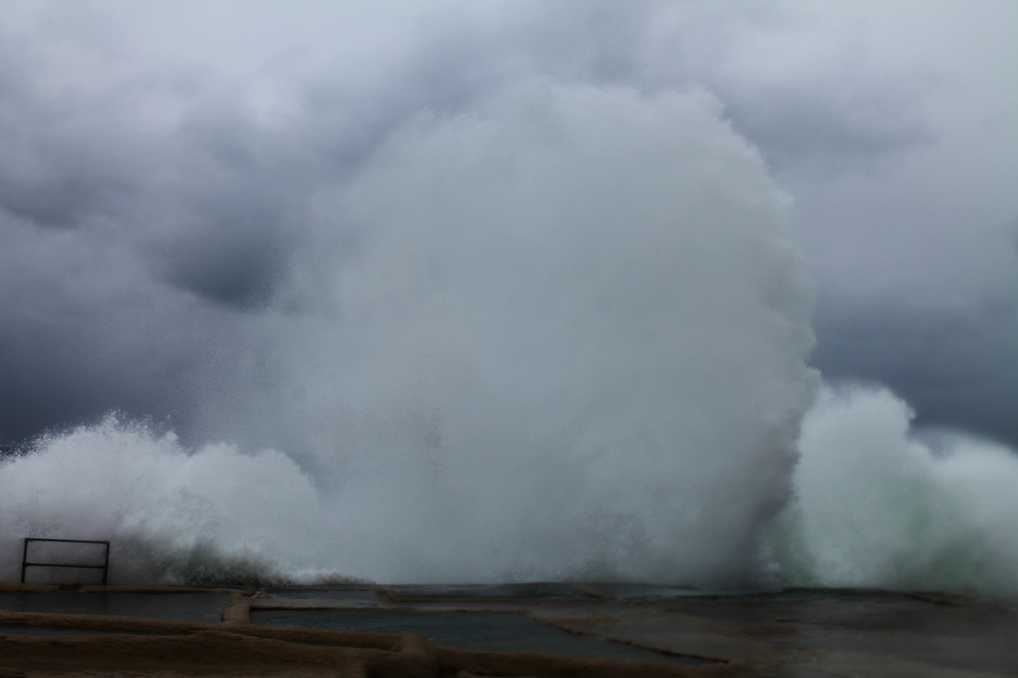
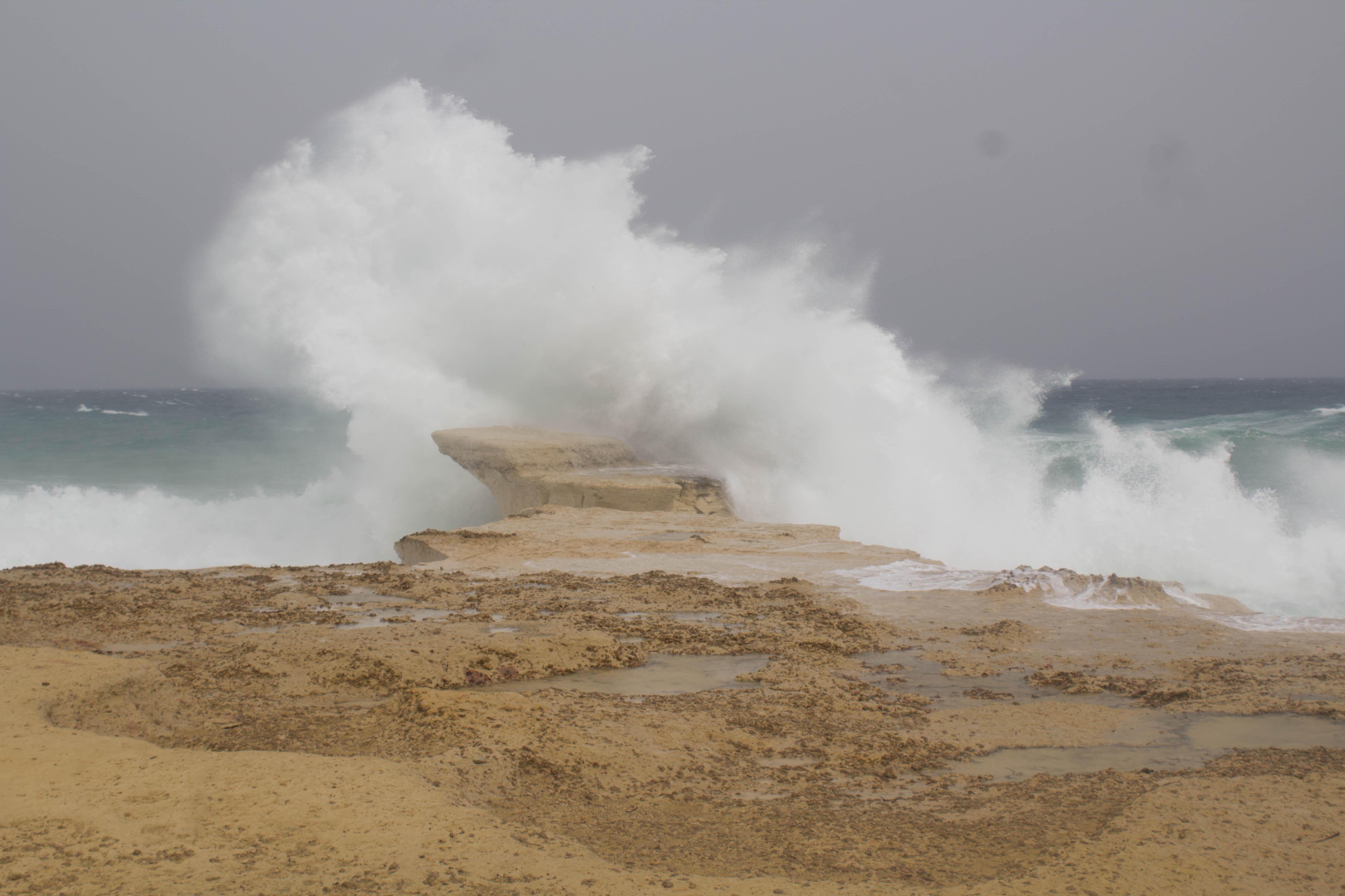
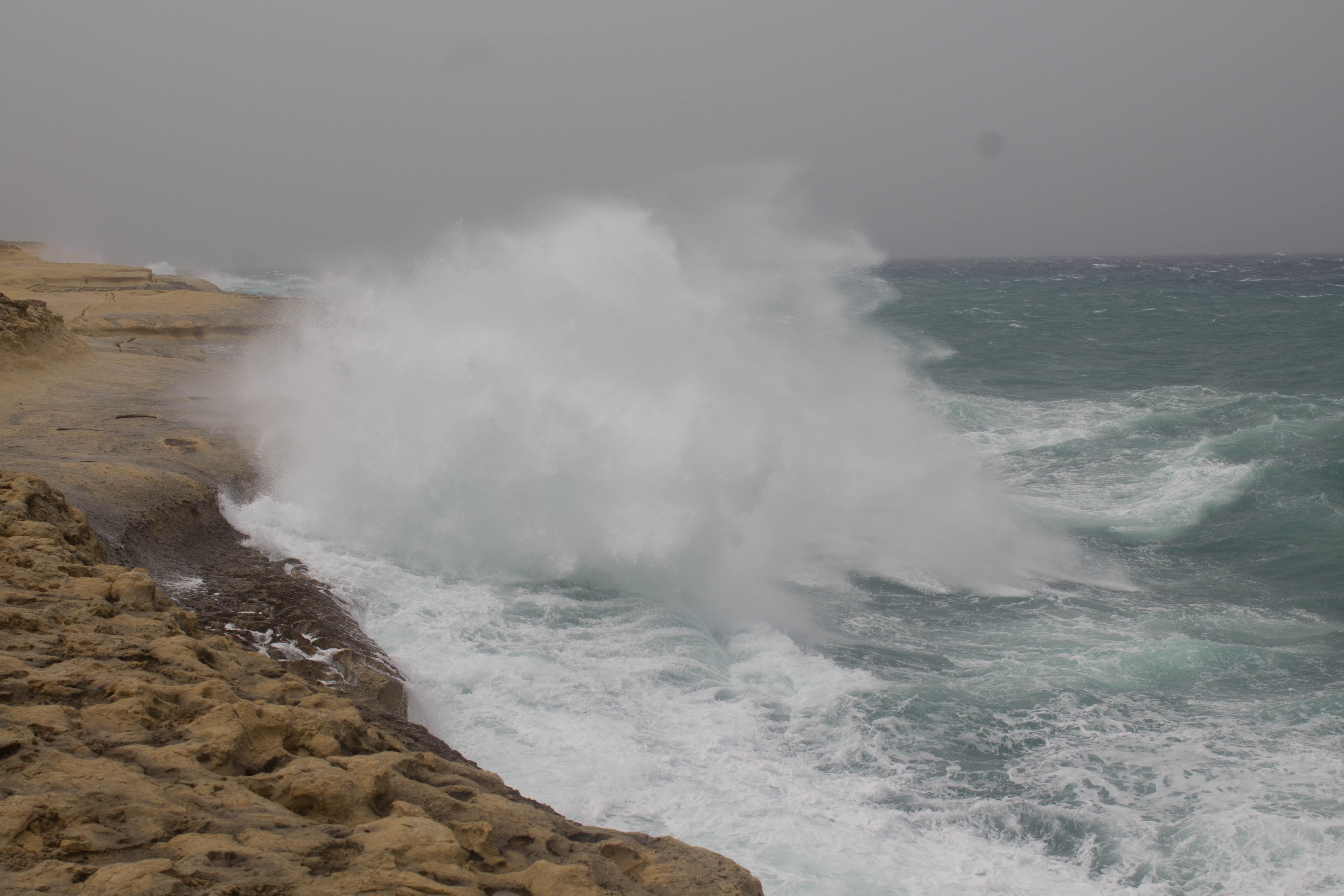
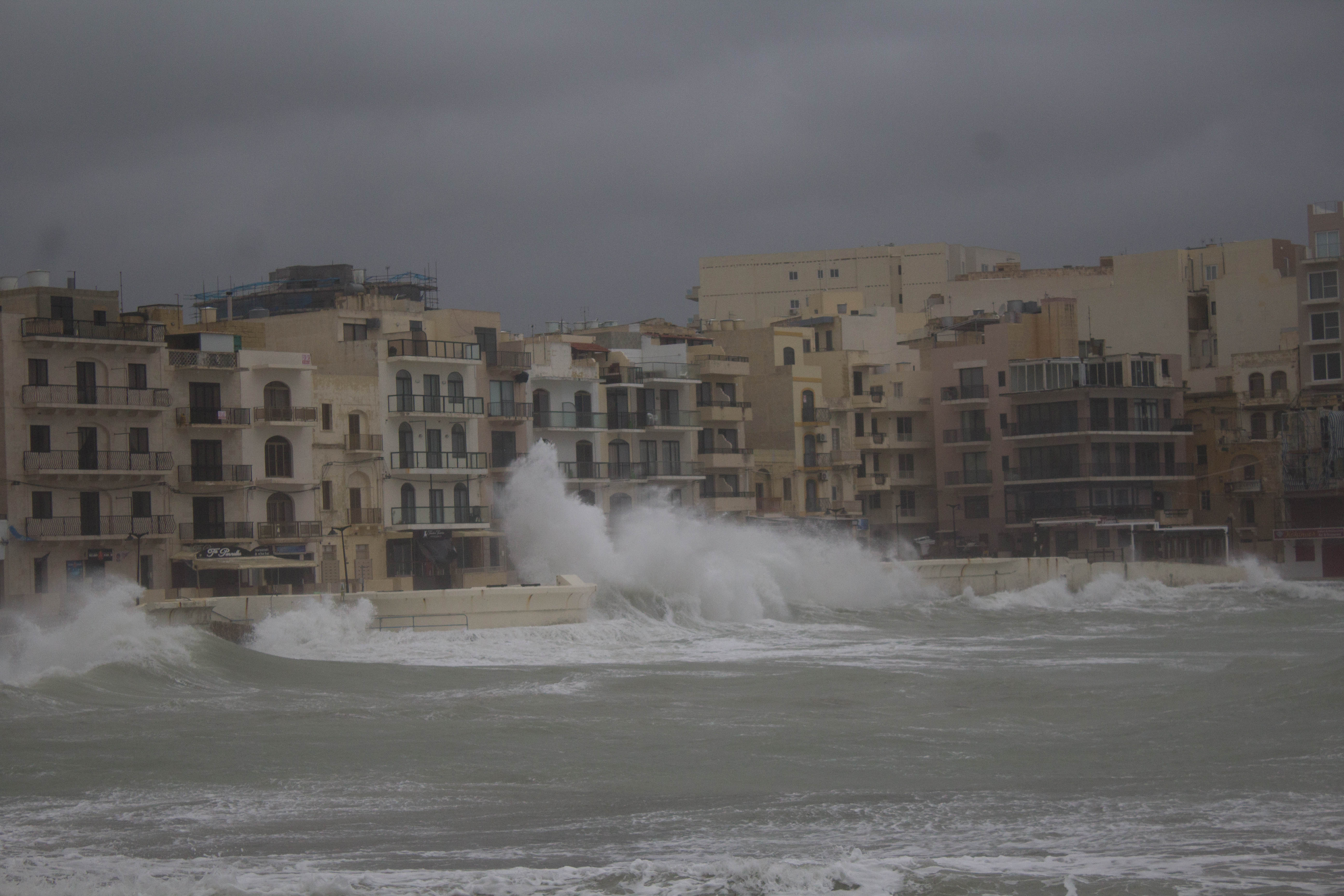
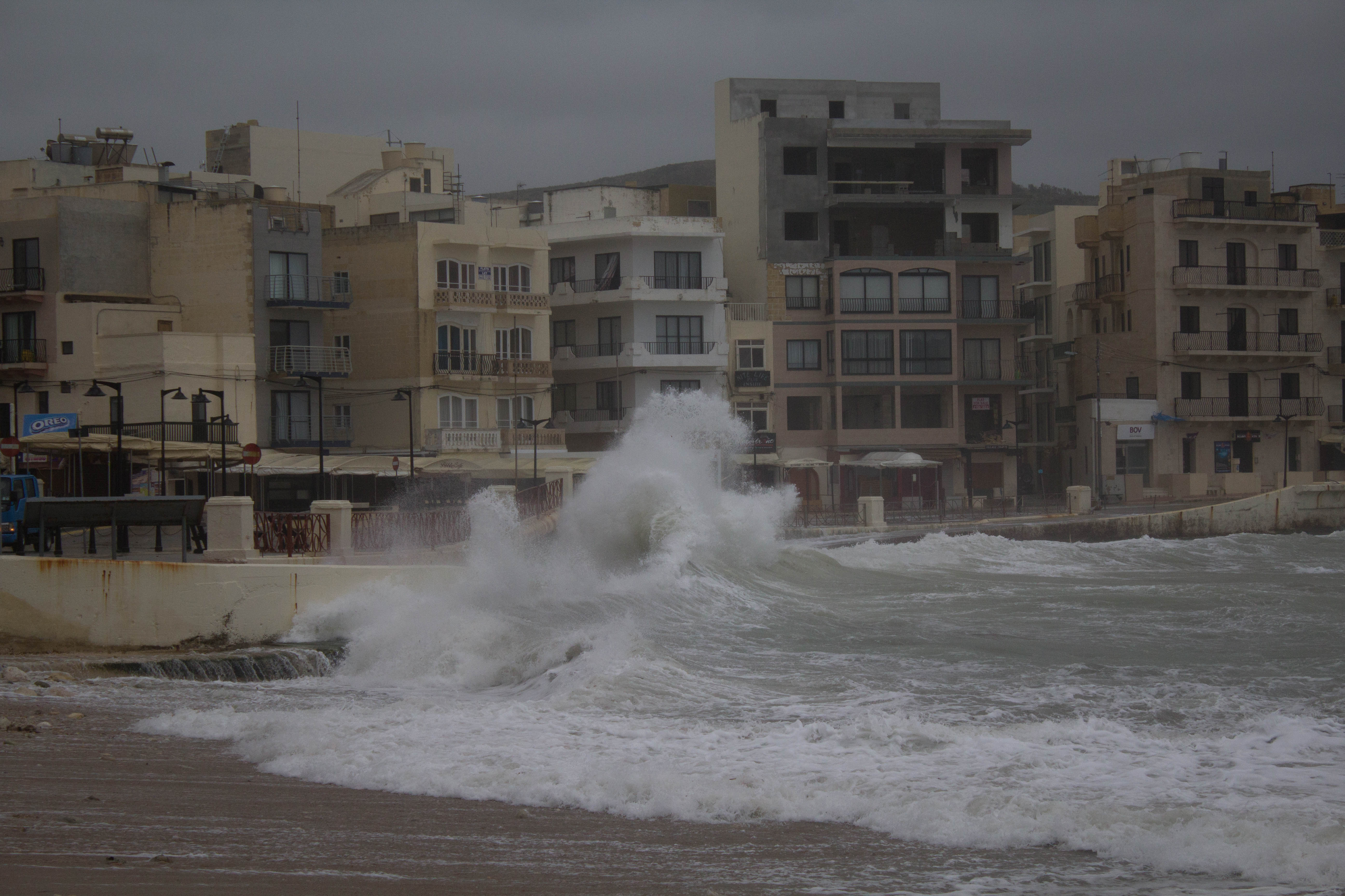
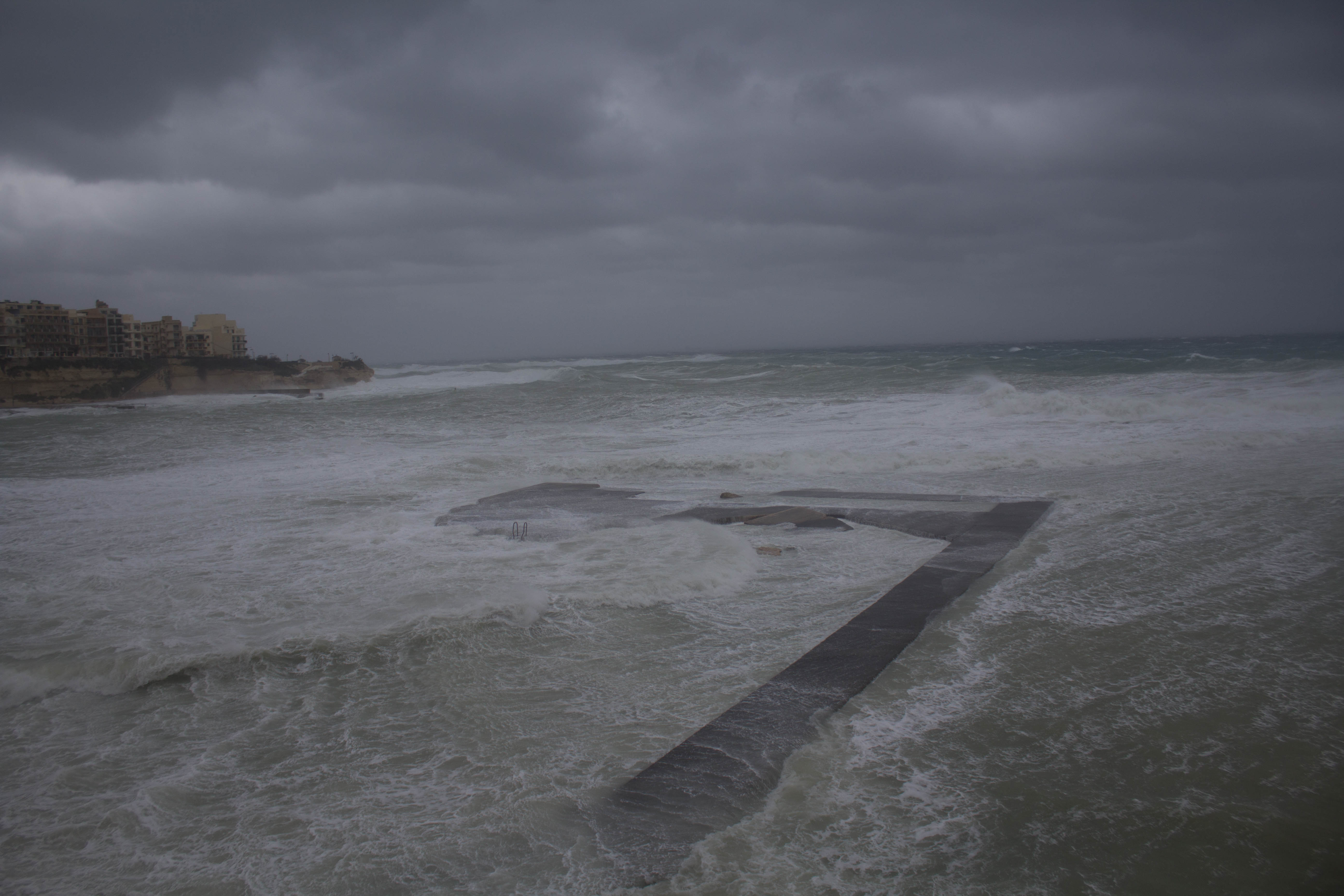
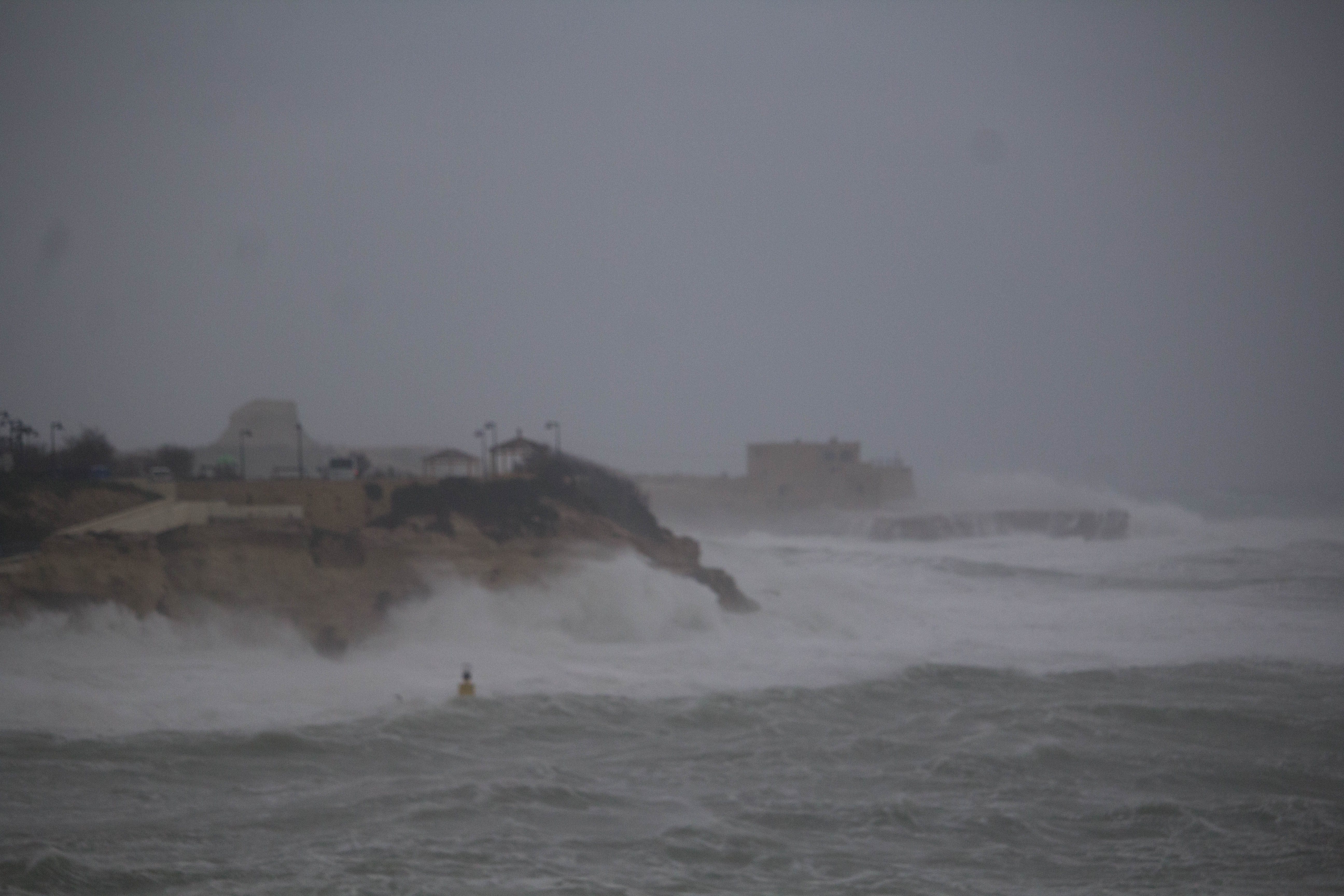
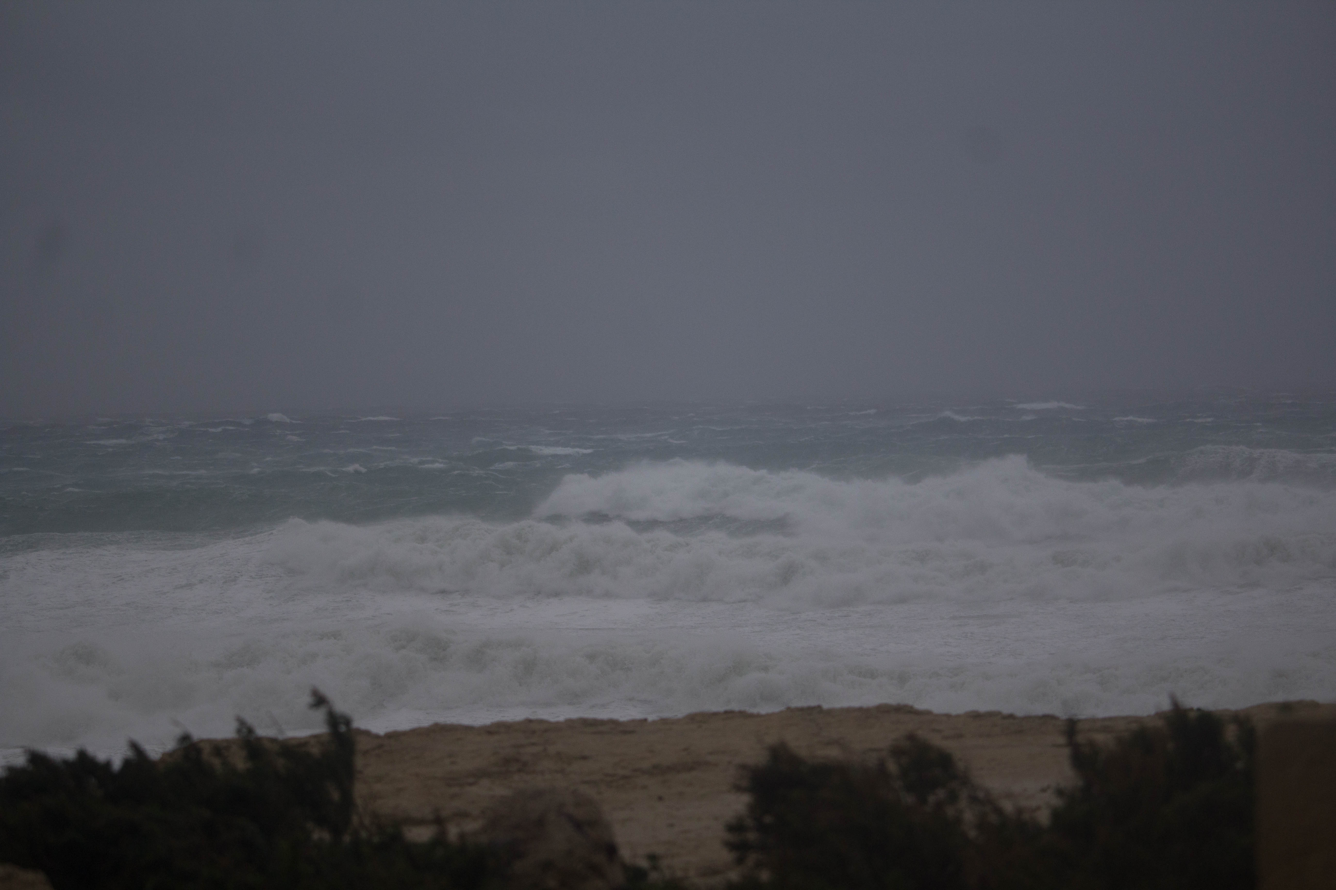
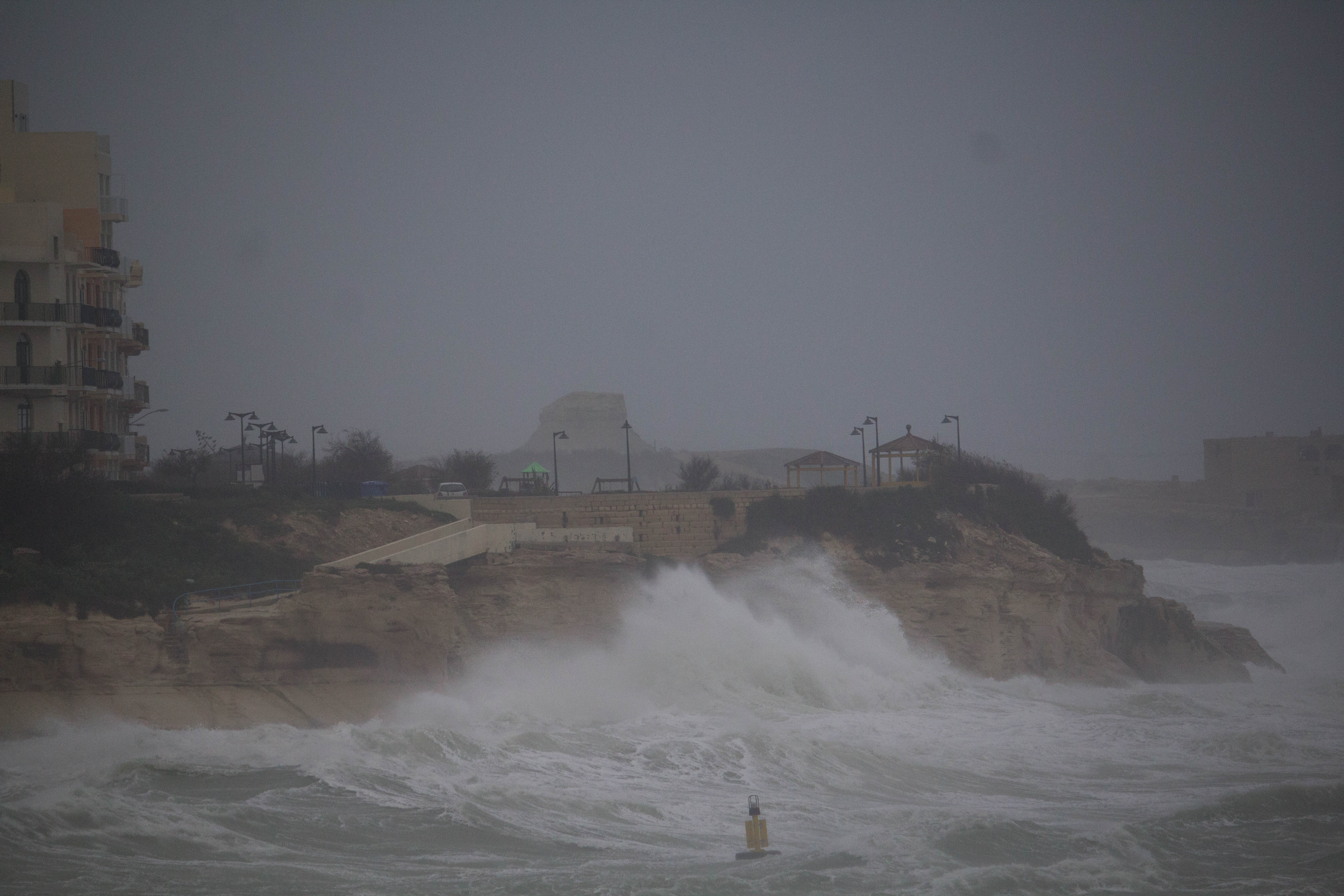
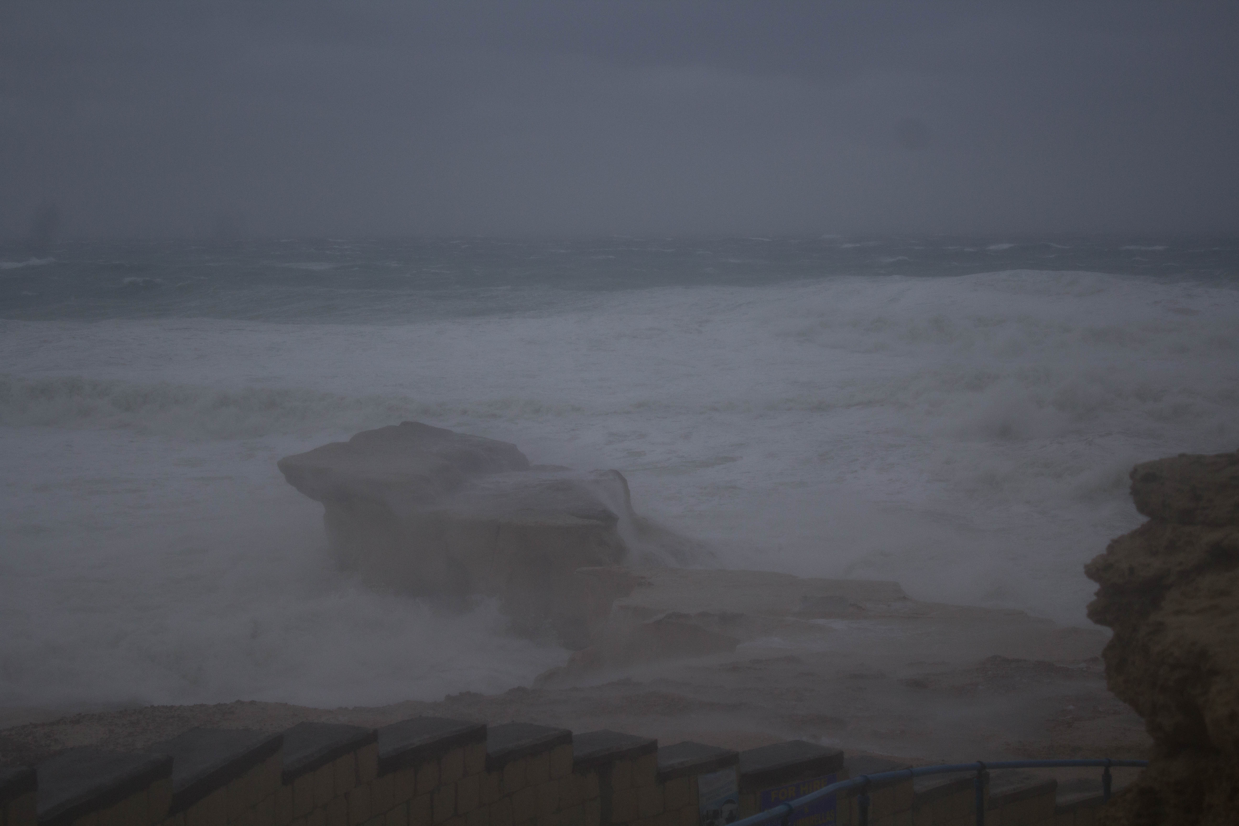
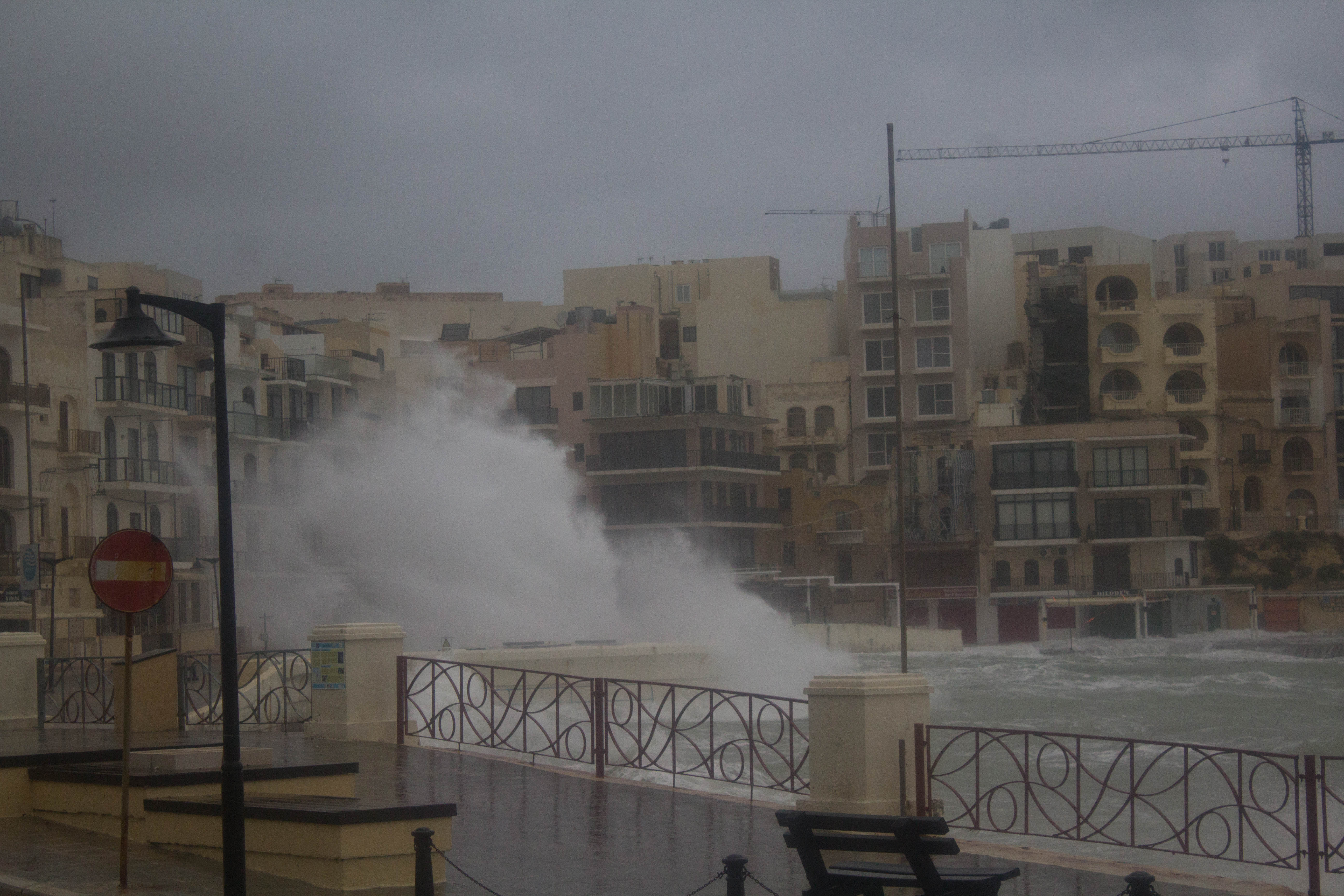
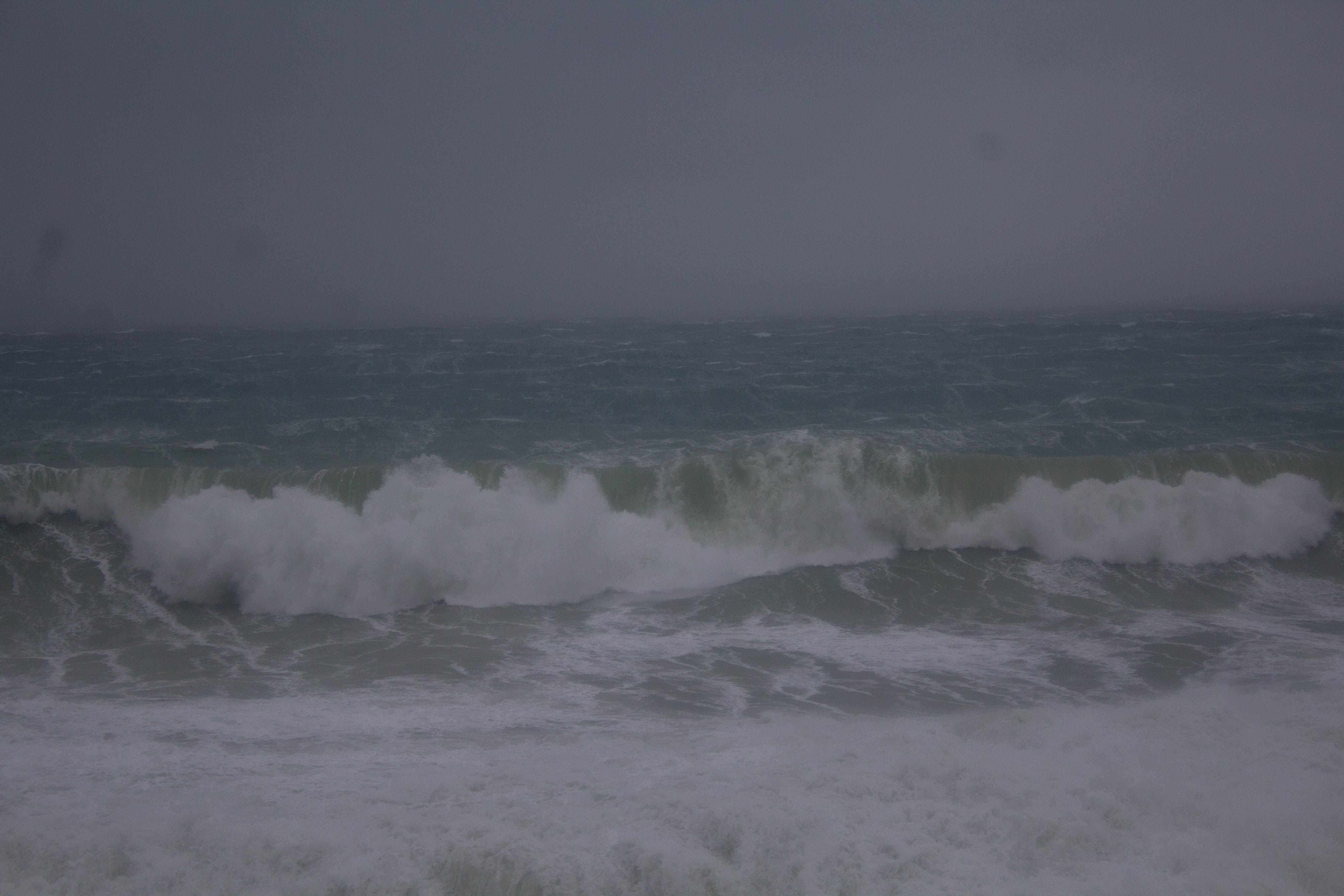
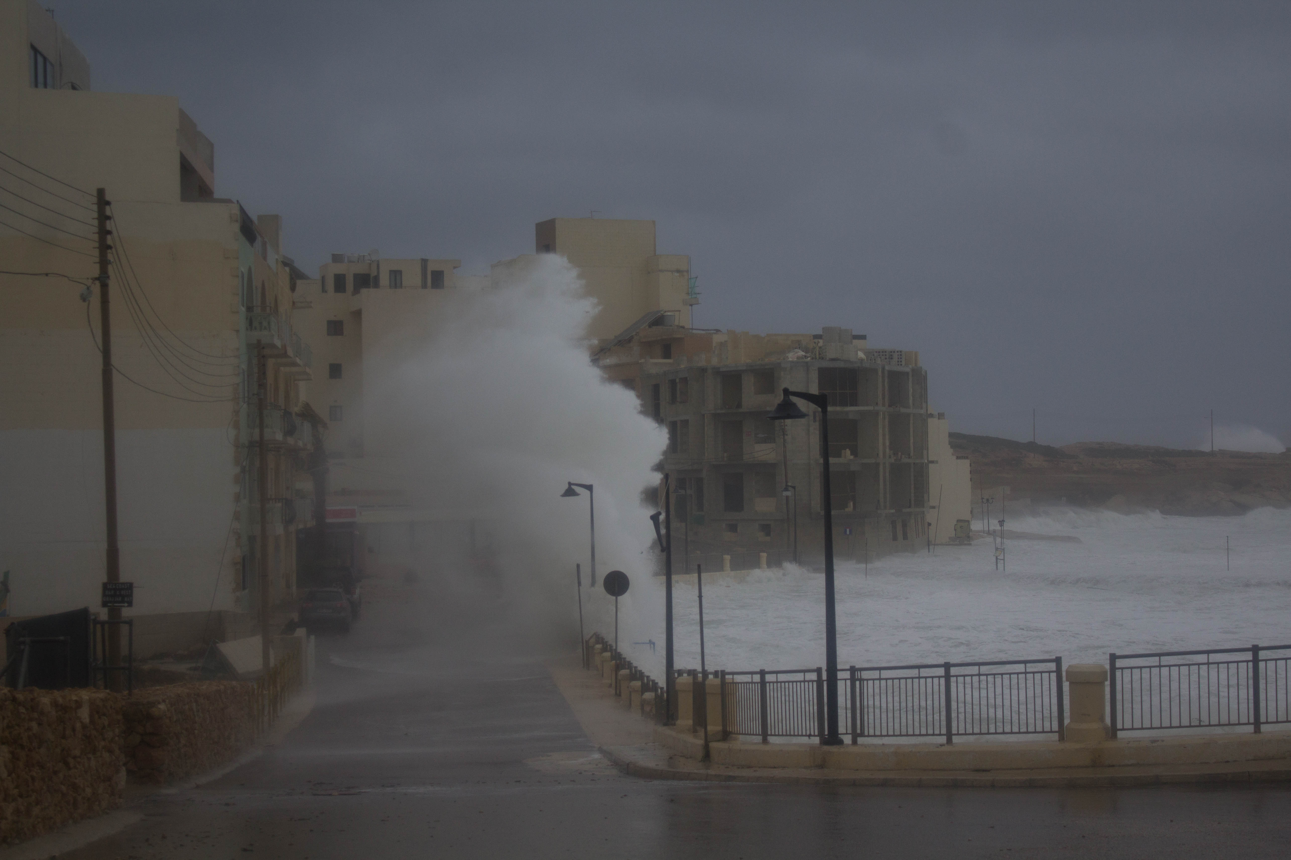
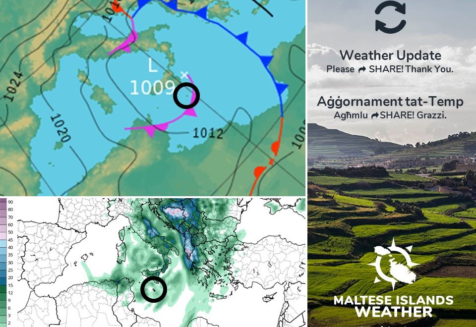
A rapidly disentegrating low pressure system will reach the central Mediterranean from over southern Italy. With it is an occluded front. This will be influencing the weather in the Maltese Islands from late on Monday 13/05 till around noon on Tuesday 14/05. Occluded fronts are associated with mature low pressure areas. There are two types of occlusion; warm and cold. In our case, it will be a cold occlusion. In a cold occlusion, an advancing mass of cold air will have caused a mass of warm air to rise completely and be cut-off from the Earth’s surface. When this happens, the warm air is cut-off from surface-based sources of moisture. A variety of weather can be found along occluded fronts, with thunderstorms being a possibility. Their passage is normally associated with the drying of the air mass, and thus, a minimal amount of rainfall.
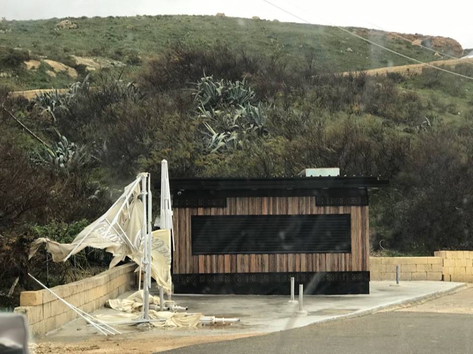
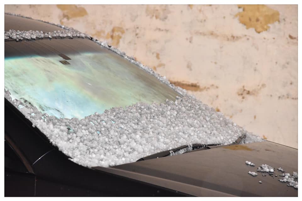
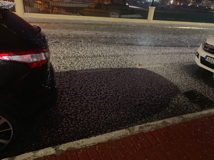
A few isolated possibly briefly heavy, thundery and with hail at times may affect parts of the Maltese Islands overnight and in the morning of Tuesday 14/05. Total rainfall is will likely be less than 10 mm, even in the hardest hit areas. Temperatures may dip to below 13 C in areas affected by hail. Real-feels may fall below 10 C. The meteorological situation will improve in the afternoon on Tuesday 14/05, albeit with a Force 4/5 wind from the West Northwest.
Sistema ta’ pressjoni baxxa li kull ma jmur qed tiddgħajjef se tilħaq iċ-ċentru tal-Mediterran minn fuq l-Italja ta’ isfel. Abbinat magħha se jkun hemm front ta’ okklużjoni. Dan se jkun qed jinfluwenza t-temp tal-Gżejjer Maltin minn tard it-Tnejn 13/05 sa madwar nofsinhar tat-Tlieta 14/05. Front ta’ okklużjoni huwa normalment assoċjat ma’ sistema ta’ pressjoni baxxa matura. Hemm żewġ tipi ta’ front ta’ okklużjoni; kiesaħ u sħun. Fil kas tagħna, se jkun wieħed kiesaħ. Fi front ta’ okklużjoni kiesaħ, massa ta’ arja kiesħa tkun imbuttat massa ta’ arja sħun il-fuq, b’ tali mod li din ta’ l-aħħar tinqata mill-art kumpletament. Meta jiġri dan, l-arja sħuna tinqata minn mas-sors ta’ ilma kumpletament , u b’hekk tibda titlef l-ilma. Front ta’ okklużjoni huwa assoċjat ma’ varjeta ta’ temp, b’maltempati bir-ragħad tkun waħda mill-possibilitajiet. Peress li front ta’ okklużjoni ikun qed jitlef mill-ilma, kapaċi jipproduċu biss xita f’ammonti żgħar.
Xi ħalbiet iżolati tax-xita possibilment qawwijin, bir-ragħad u silġ għal ftit ħin kultant jistgħu jaffetwaw lil Gżejjer Maltin billejl u filgħodu tat-Tlieta 14/05. It-total ta’ xita probabli mhux se jaqbeż l-10 mm, anke fl-aktar inħawi milquta. It-temperaturi jistgħu jinżlu taħt 13 C fl-inħawi milquta mis-silġ. It-temperatura tkun tinħass daqs li kieku 10 C. Is-sitwazzjoni metejoroloġika se taqleb għal aħjar wara nofsinhar tat-Tlieta 14/05, għalkemm b’riħ Forza 4/5 mill-Punent Majjistru.