
Low clouds have cloud bases below 2,000 meters so their various shapes and characteristics are clearly evident to us on the ground. They are somewhat more varied and dynamic than higher clouds, subject as they are to the effects of fluctuating ground heating. Low cloud types are cumulus, nimbostratus, stratocumulus and stratus.
NIMBOSTRATUS
| Appearance | dark gray, featureless. |
| Species | none. |
| Meaning of name | rain layer. |
| Precipitation | prolonged moderate to heavy rain |
-
- Nimbostratus
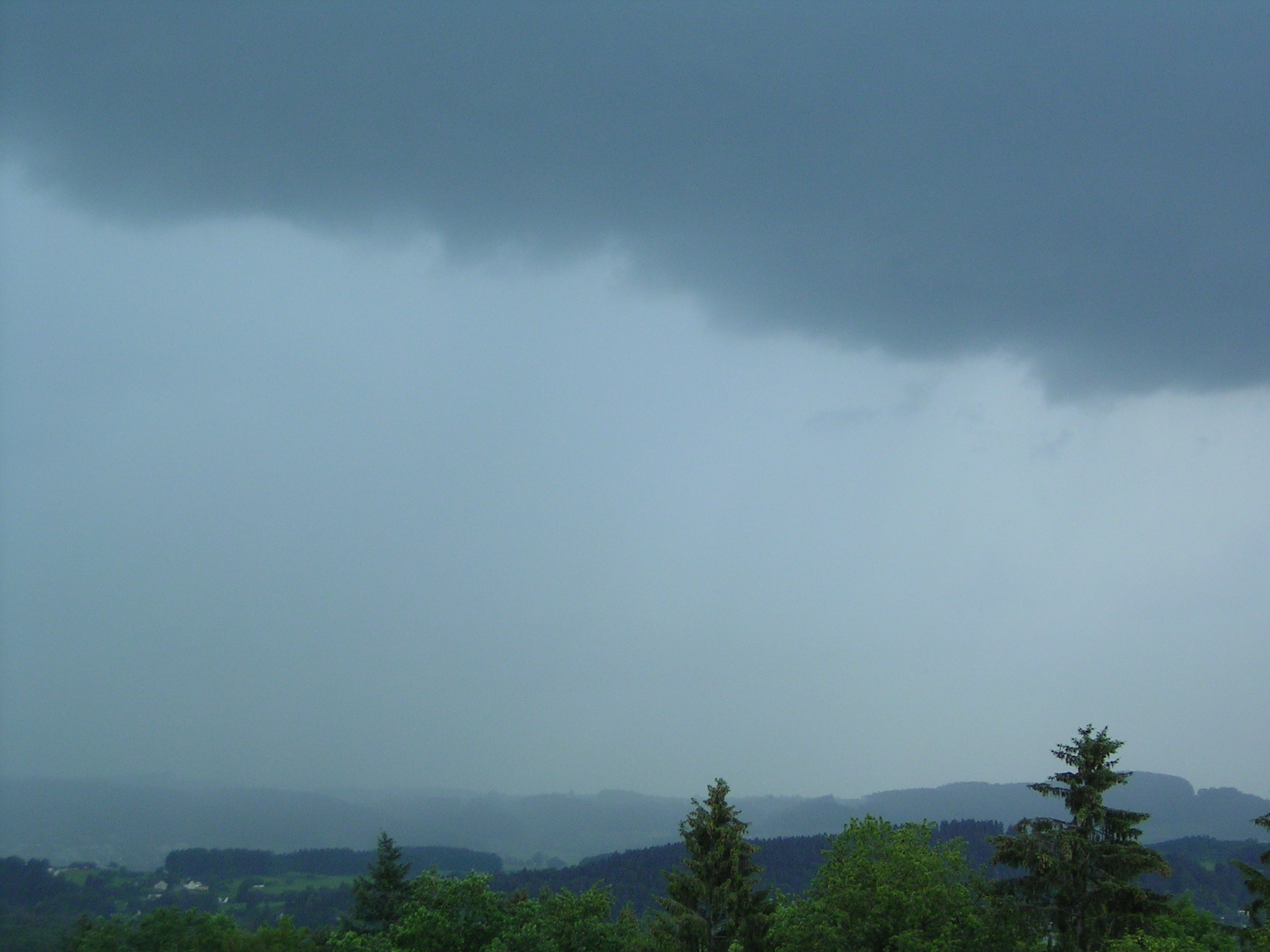
- Nimbostratus begins as the mid-level Altostratus translucidus and Altostartus opacus. Locally, we refer to them as “sħab tal-Ġimgħa l-Kbira” or “sħab tar-riħ isfel”. The former refers to their ability to trigger a feeling of unhappiness, whilst the latter refers to their North African origin. Altostratus translucidus is a featureless layer of thin, grey-blue cloud that usually spreads to cover most of the sky, give rise to dull, overcast conditions brasil-libido.com. Sunlight becomes diffused and watery. It normally forms as a result of the lifting of an extensive mass of warm air ahead of an incoming warm front or occlusion. If the warm front or occlusion continues to advance, pushing more moist air upwards, altostratus translucidus can thicken into altostratus opacus. If moisture is sufficient, the cloud will thicken in several layers. The sun and moon become increasingly obscured. Even if the cloud layer grows so thick that the sun and moon are fully obscured, the cloud is not yet technically a nimbostratus until rain starts to fall from it. Once rain occurs, the cloud becomes completely featureless. It can appear to connect directly with the sodden landscape below, leaving us feeling not just under the weather, but in it. All three cloud species mentioned here can be very persistent. Over time, the air underneath them can become highly saturated, forming low stratus or mist/fog. Nimbostratus can produce a day of steady rain in the Maltese Islands, and is most common in winter and early spring.
0 comments
Write a comment